This is a 7 mile round trip hike with 2,550 ft of elevation gain.
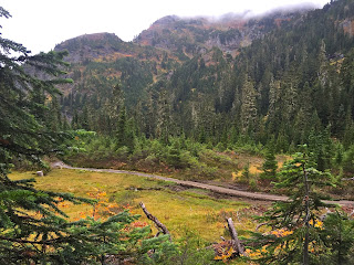
The trail starts to climb up View of the colorful hillside from between the trees.
view across the valley
Traversing the hillside we saw from the forest service road below.
Trail enters the forest for about a mile,
before entering a meadowy bowl.
Even on a cloudy day, the views were stunning.
At 1.6 miles from the trailhead, the trail splits in two, the right goes to Tomyhoi Lake, our route to Yellow Aster Butter goes to the left. Here the trail levels out for over a mile. On a clear day, there would be views of Mt Shuksan, Mt Baker and Goat Mountain.
Yellow Aster Butte is on the left, our trail goes aroun the south side, before climbing up on the west side.
The trail took us past a snowfield.
We crossed a small stream
A beautiful open trail
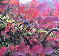
The fall colors are beautiful amongst the varies shades of green.
We took our time on this trail, soaking up the colors and landscapes.
There were still yellow daisies (not yellow asters) on the side of Yellow Aster Butte.
Such interesting landscape.
There were many mountain tarns below along the trail that splits off to Tomyhoi Peak.
 The last bit of trail up Yellow Aster Butte is a steep 600 ft ascent.
I could see down to the snowfield we passed earlier.
As we ate lunch, the clouds lifted a bit. Pano to the west and north from Yellow Aster Butte
Pano to the east and south from Yellow Aster Butte
Views of the tarns below
 It was fun to watch the clouds move in and out among the nearby peaks.
We could see the bottom of some of the glaciers on Mt Shuksan on the hike out.

We could hear the pikas in the rocks while we were hiking, and did spot one, but I was not quick enough to catch a photo of the pika.
Some of the fall foliage, wild flowers and other flora we saw on the trail:


No comments:
Post a Comment