A beautiful day after a week of rain, we headed up to Mt Rainier to hike up to Summerland before the White River closes for the season. We saw lots of elk along the side of Hwy 410 as we drove up in the morning.
The hike to Summerland is 8.5 miles round trip with 2,100 ft of elevation gain. This trail is along the Wonderland Trail. We were hoping to to head up towards Panhandle Gap with our snowshoes, but recent avalanche activity turned us around shortly after Summerland. We did a bit over 9 miles today.
The trail goes through the forest most of the way up to Summerland. We saw a bit of fall color in the early part of the trail.

Part way up the trail there is view along Fryingpan Creek, with peaks of the the nearby cliffs.
Pano of Frying Pan Creek below
Further up the trail, views of snow dusted cliffs.

Before reaching the bridge over Fryingpan Creek, we found a dusting of snow on the trail and a peak of Mt Rainier lit by the sun ahead.
The trail has some mixed foliage before reaching the bridge crossing Fryingpan Creek.
We were happy to find the bridge crossing Fryingpan Creek ice free today.
After crossing the bridge over Fryingpan Creek, the trail goes through some meadows and the views of Mt Rainier improves.
View of Little Tahoma and Mt Rainier as seen before the trail goes up the switchbacks to Summerland.
The higher the trail climbed, the more snow we found on the trail. We did not begin to post hole until reaching Summerland, where we put on our snowshoes.
It was a winter wonderland at Summerland.
Pano at Summerland looking towards Meany Crest and Mt Rainier.
At the east end of Summerland, the "trail" crosses a creek, today we needed to remove our snowshoes and jump over the creek to cross.
We climbed a small rising and headed towards the log crossing the creek on the way to Panhandle Gap. We didn't get close to the log crossing as we saw evidence of recent avalanche activity over the trail ahead and decided to turn around.
Zoom of the waterfall.
We decided to return to Summerland higher up the hillside under Meany Crest, to avoid jumping over the creek again. Pano from below Meany Crest: Mt Rainier and Goat Island Mountain.
Pano from below Meany Crest: Panhandle Gap to the left and Mt Rainier tot he right.

We had fun snowshoeing around Summerland.
When we were back below the switchbacks, we enjoyed the afternoon light on Mt Rainier.
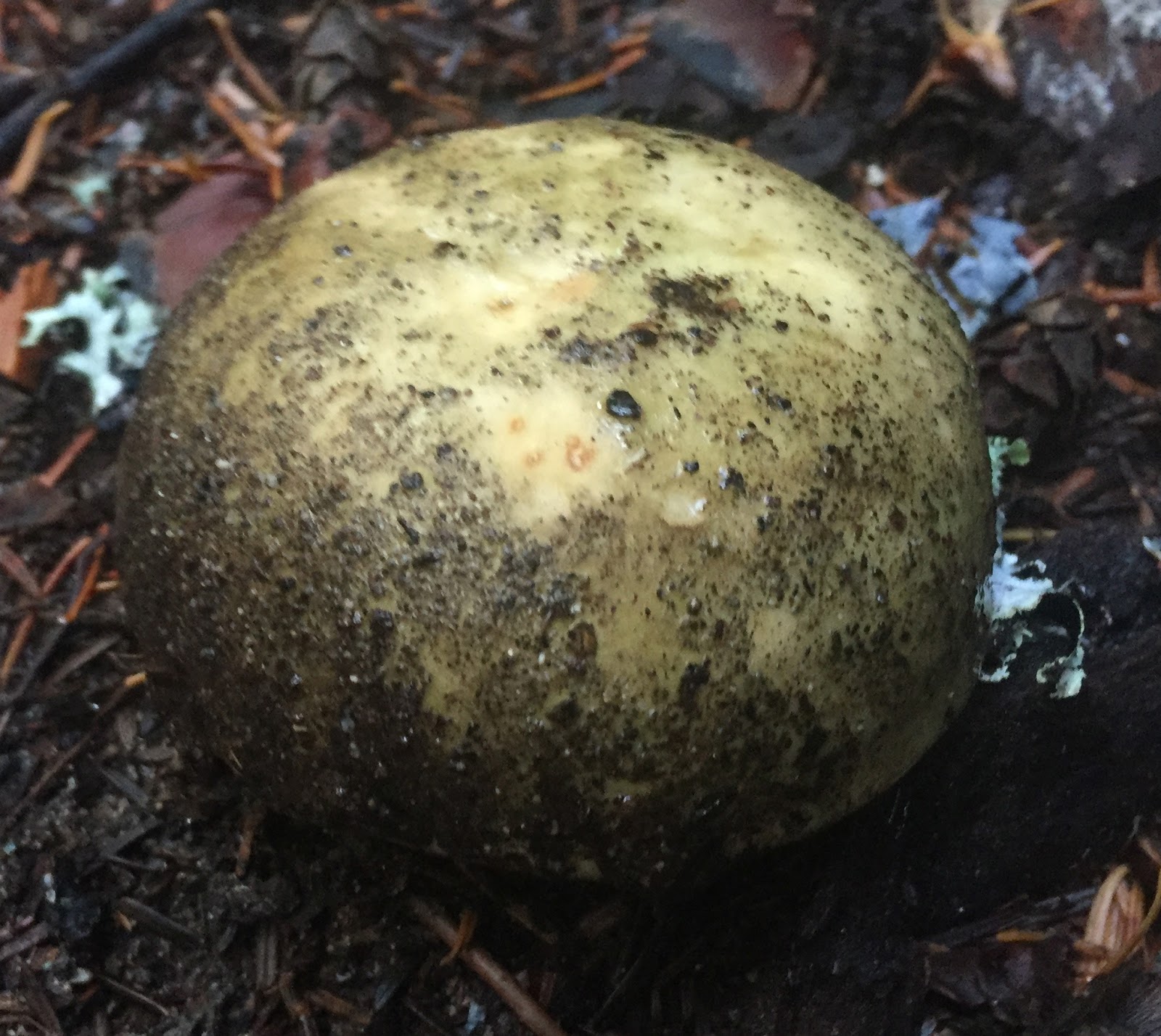
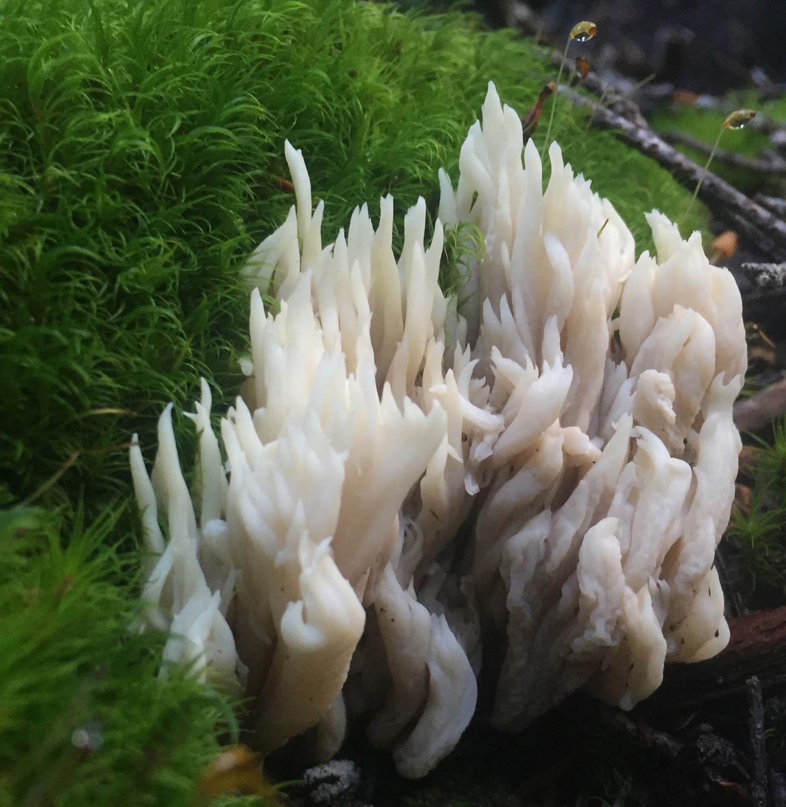
Some of the fungi we saw on the forest trail today:


 Part way up the trail there is view along Fryingpan Creek, with peaks of the the nearby cliffs.

 Before reaching the bridge over Fryingpan Creek, we found a dusting of snow on the trail and a peak of Mt Rainier lit by the sun ahead.


 We had fun snowshoeing around Summerland.


No comments:
Post a Comment