
 We drove down to Johnston Ridge at Mt St Helens to hike the Boundary Trail out to Coldwater Peak, a 12.8 mile rt hike with about 2,000 ft of overall elevation gain. There were lots of wildflowers in bloom!
View of Coldwater Peak in the distance from the east end of the parking lot.

A short path from the parking lot took us out to the Boundary Trail, with gorgeous views of Mt St Helens.

This trail winds around the edge of Johnston Ridge, heading out towards Harry's Ridge with many wildflowers in bloom.

As the trail continues east, we had better views into the crater.
 On the other side of the trail, we could see Coldwater Peak in the distance, and a ground squirrel sitting up on a rock.

The trail goes around a steep outcropping of the ridge.
 Along this steep narrow trail, we had great views looking towards Mt St Helens and
and views down onto the Pumice Plains, once devoid of life.
 After rounding the ridge and heading up the trail, we could look back over the blooming ridge and see the visitor center at Johnston Ridge in the far distance to the west.
 To the east, lay Harry's Ridge, Spirit Lake, Windy Ridge and in the far distance, Mt Adams
To the north, our destination: Coldwater Peak
After passing the spur trail that goes up Harry's Ridge (at 3.5 miles), the Boundary Trail goes north and up and our views got better and better.


We could soon see Mt Hood peeking over the distant ridges (zoom)
The trail comes to the top of a ridge overlooking St Helens Lake. Her we could see to top of Mt Rainier and the Goat Rocks tot he north, Mt Adams to the East and Spirit Lake, Mt Hood and Mt St Helens to the south.

At the end of this ridge, the trail steeply descends a short ways and then climbs again up to a hole in the rock.

The trail goes through this rock,

 and emerges on the other side, high above St Helens Lake on another short ridge crest.
The trail then descends, soon meeting up with the trail coming up from Coldwater Lake at 5.2 miles. Coldwater Peak is in the middle of this picture.
The Boundary Trail continues along the east side of Coldwater Peak for another 0.5 miles, it will continue pass the Dome and Mount Margaret and Norway Pass.

At 5.7 miles, a spur trail goes up Coldwater Peak in a series of steep switchbacks for 3/4 of a mile, with continues views.

 The trail goes around to the left up to the top.
Panorama from the top of Coldwater Peak, looking east:

Panorama from the top of Coldwater Peak, looking west:

This is a fabulous hike, on the way back, we were able to enjoy these views

 It was interesting to see, on our way up to Coldwater Peak, the floating logs on Spirit Lake were near the middle of the lake.
On our way back down, the wind had blown these logs toward the south end of the lake.

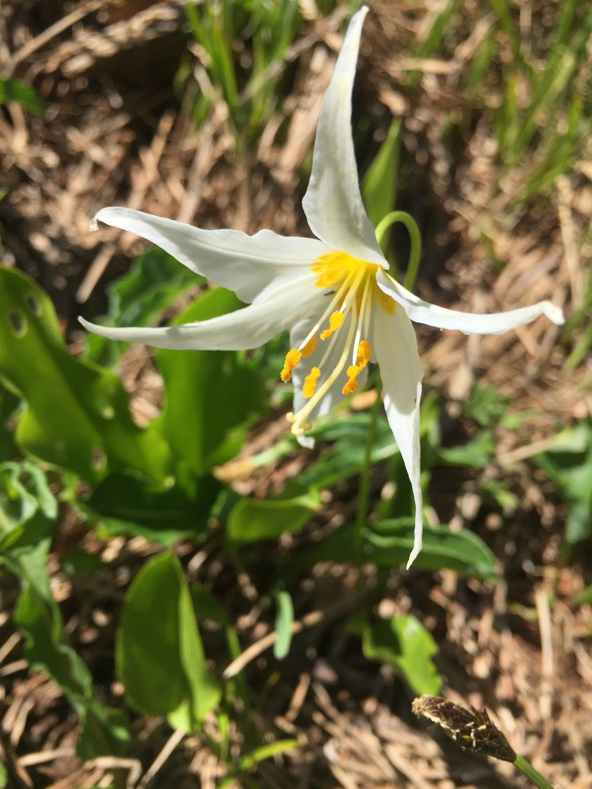
Some of the other wildflowers and flora we saw along the trail:


No comments:
Post a Comment