
 We drove out to hike up to Summit Lake and to Bearhead Mountain. These share the same trailhead for the first 0.8 mile. This trailhead is at the end of FSR 7810, north of the Carbon River across from Mount Rainer NP.
Most of the hike is in the woods (which was nice on a hot day), we did come across some downed trees.


We ran into snow as we neared the lake.
A little over 2 miles from the trailhead, we reached the pond on the east side of Summit Lake, it was still snow covered.
 Our first view of Summit Lake, with the ridge we are headed to behind it. We decided to go up the ridge on the regular spur trail on the north side of Summit Lake.

Pano to the south from the top of the ridge. Bearhead Mountain, Mt Rainier, Coplay Lake (not seen in the photo, but we could see the top of Mt St Helens):


 We hiked back to where the trail splits at Twin Lake to head out to Bearhead Mountain. From here, it is 1.8 miles to the side trail going up to Bearhead Mountain.


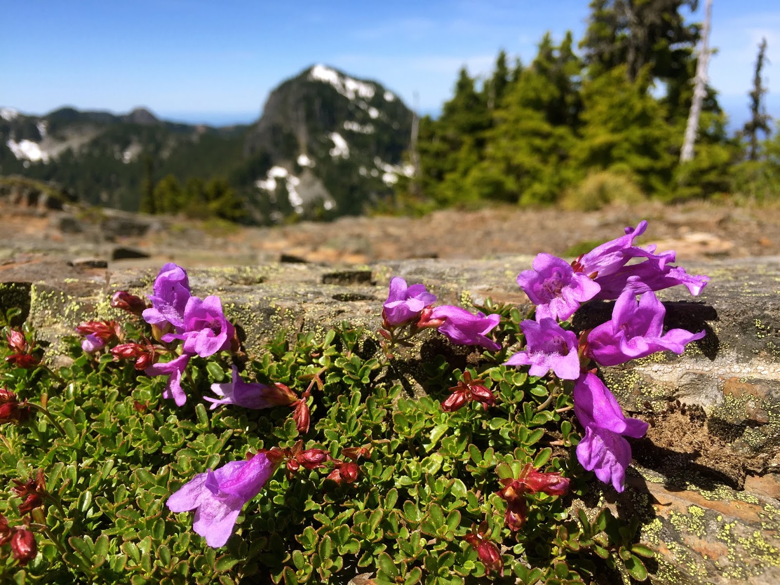
When we reached the top of Bearhead Mountain, we had fabulous views to the north: Mt Baker, Mt Shuksan, Glacier Peak, North Cascades, Teanaways and Mt Stuart (pano)

And to the south: Mt Rainier (pano)


No comments:
Post a Comment