
We drove out on the northeast side of Mt Rainier National Park (on Hwy 410) to combine the Crystal Peak Trail (8 miles/3,000 ft gain) with the Crystal Lakes Trail (6 miles/2,600 ft gain). Since these trails share the first 1.5 miles of trail and about 1,300 ft of gain, in combining them, our hike was 11 miles with 4,300 ft of gain. We were glad we did the peak first, as the sky was clear in the morning and the clouds were moving in over Mt Rainier by noon.
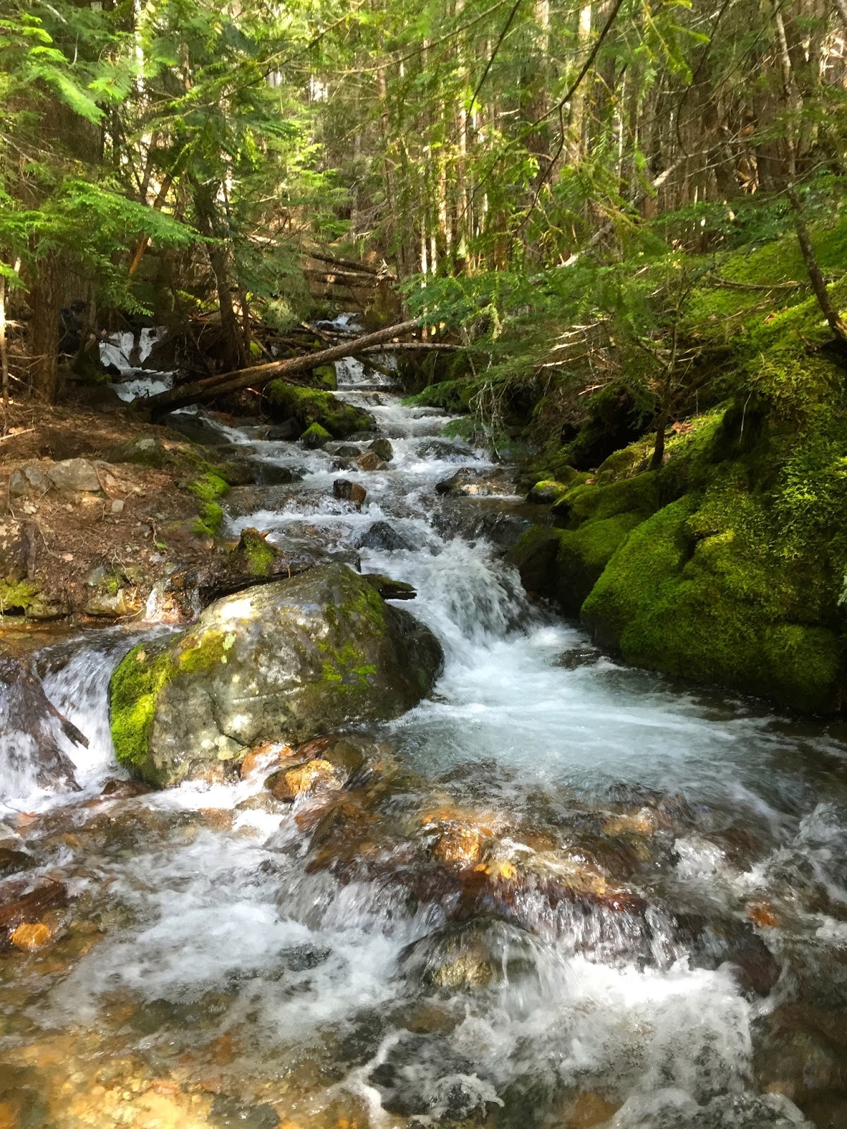
With all the recent snow melt, there was lots of water in Crystal Creek.


The trail breaks briefly out of the woods as it crosses an old rock slide, then reenters the forest as it steadily climbs up hill for a mile or so.


Crystal Peak in the background.

As we neared the top, there are a couple of more shorter switchbacks, and far to the south, we could see Mt Adams and Mt Hood trying to peek out of the clouds.

The last bit of trail heading up to the top of Crystal Peak

View of Mt Rainier to the west.
Pano from Crystal Peak looking south to west:


Pano from the top of Crystal Peak looking north to east, the Crystal Lakes below us:

 zoom of Lower Crystal Lake
 zoom of the mostly snow covered Upper Crystal Lake
 The trail up to Crystal Lakes is a steady uphill hike, mostly in the forest. There were two spots where we could peak through the trees to see Mt Rainier, now being covered by clouds.
One patch of snow on the way up to Lower Crystal Lake, most of it could be avoided without going off trail.

We decided to pass Lower Crystal Lake on the way up. View of Crystal Peak as seen between the two lakes


After enjoying a leisurely snack break, we headed back down the trail to see Lower Crystal Lake
View of Crystal Peak and Lower Crystal Lake from the north shore

Pano from the south shore of Lower Crystal Lake

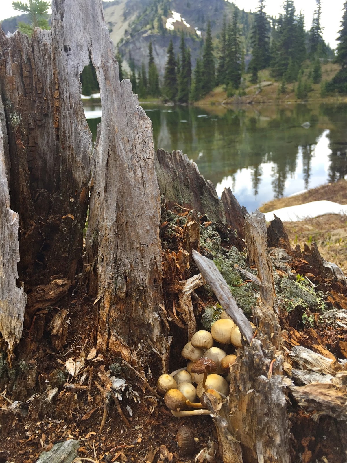
some of the wildflowers and other flora we saw along the trail today:


No comments:
Post a Comment