Wednesday, April 7, 2021

Coyote Wall Labyrinth Loop

Drove down to the east side of the Columbia Gorge to do two wildflower hikes. In the morning I did the Coyote Wall Labyrinth Loop by going up the Little Maui Trail up Coyote Wall to about 1,500+ ft, then across to reach Atwood Road and down the Labyrinth Trail, about 7 miles with 1,400 gain. I saw two people hiking out when I arrived and did not see any other hikes for over 5 miles, when I was about half way down the Labyrinth trail. Not sure if the blustery wind was keeping people away or they were at other areas with more wildflowers in bloom today.
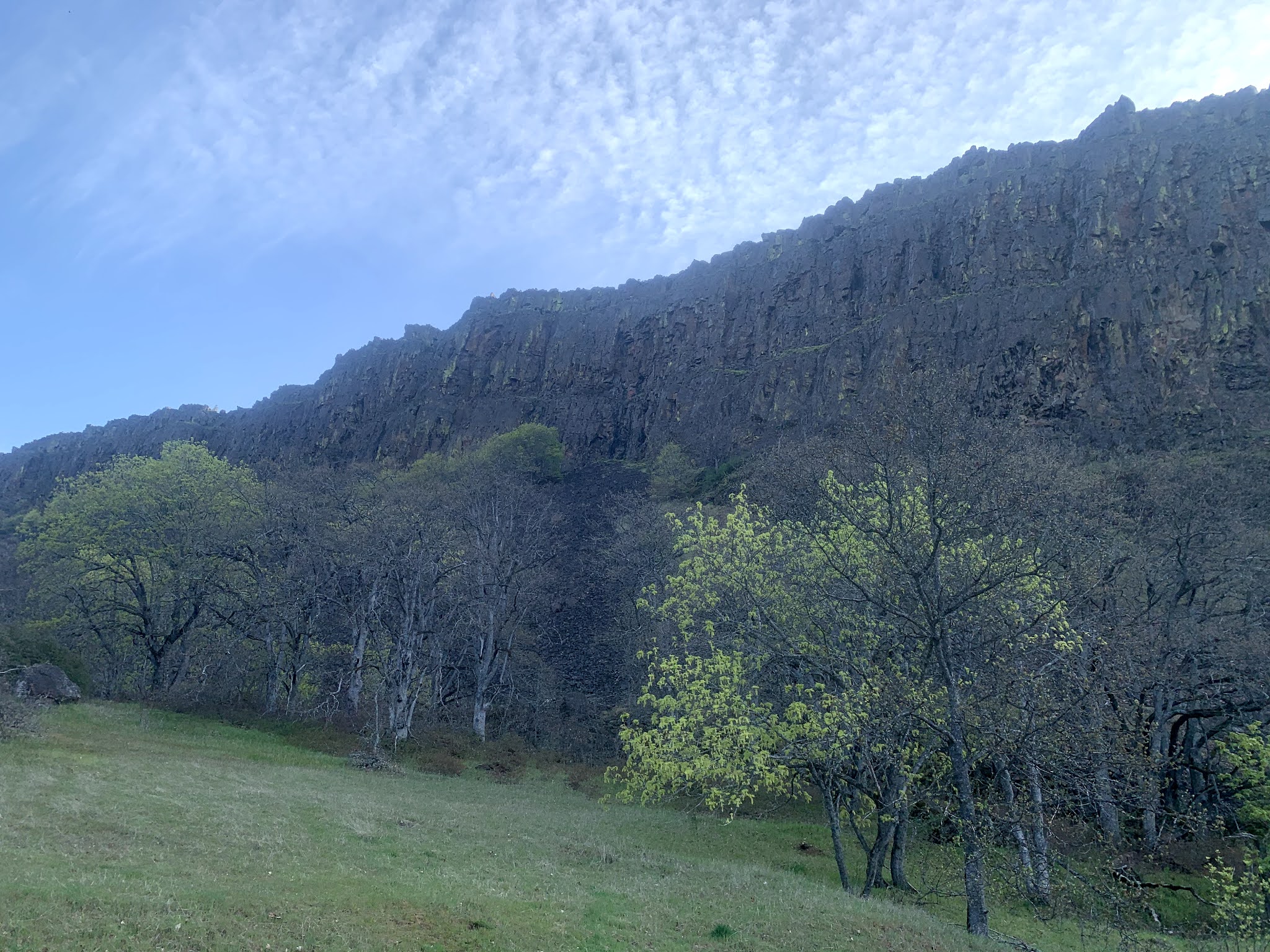
Looking up at Coyote Wall from the parking area.


Lots of parsley in bloom. Ducks in the water near the beginning of trail, which is a closed road leading to the various trails that go up to Coyote Wall.


Lower portion of the Little Maui Trail, lost of small wildflowers in bloom, including popcorn flowers. Mt Hood clearly seen across the Columbia River to the west before the clouds blew in.


zoom of Mt Hood


Oak Trees along the Little Maui Trail


close up of oak leaves


Little Maui Falls


view looking across the meadow to the east, Columbia River


Once up on Coyote Wall, I followed the trail that made switchbacks near the edge of the wall


Gorgeous views and lots of balsamroot in bloom.

looking southeast


view to the southwest


View to the south
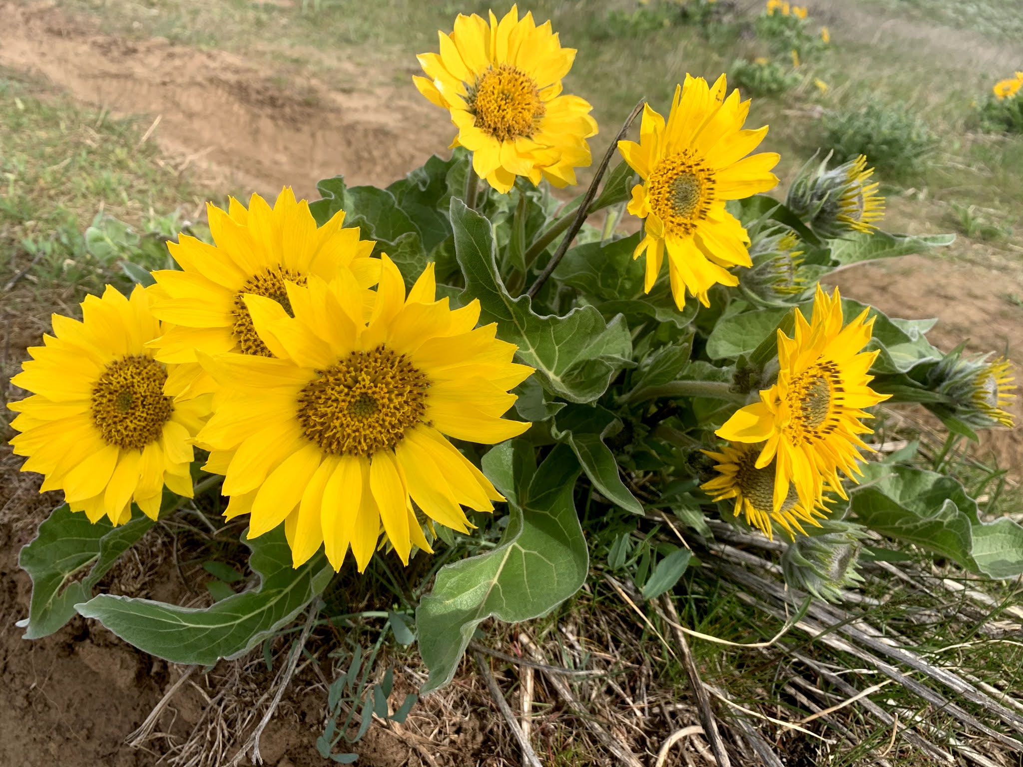


beautiful balsamroot 
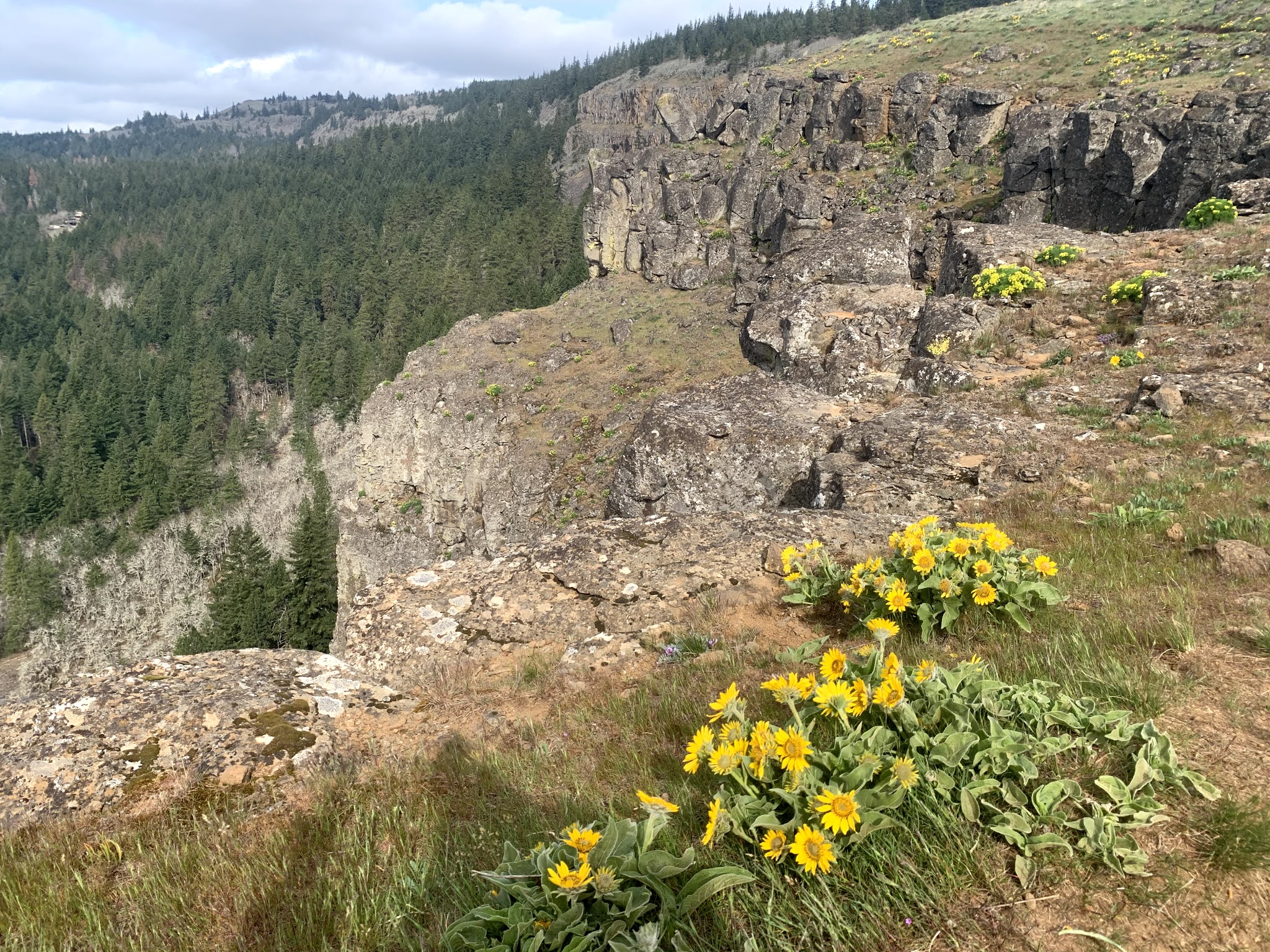


I stayed away from the edge as the wind gusts were getting strong. The trail continues up along Coyote Wall further, but I was doing a loop hike today.


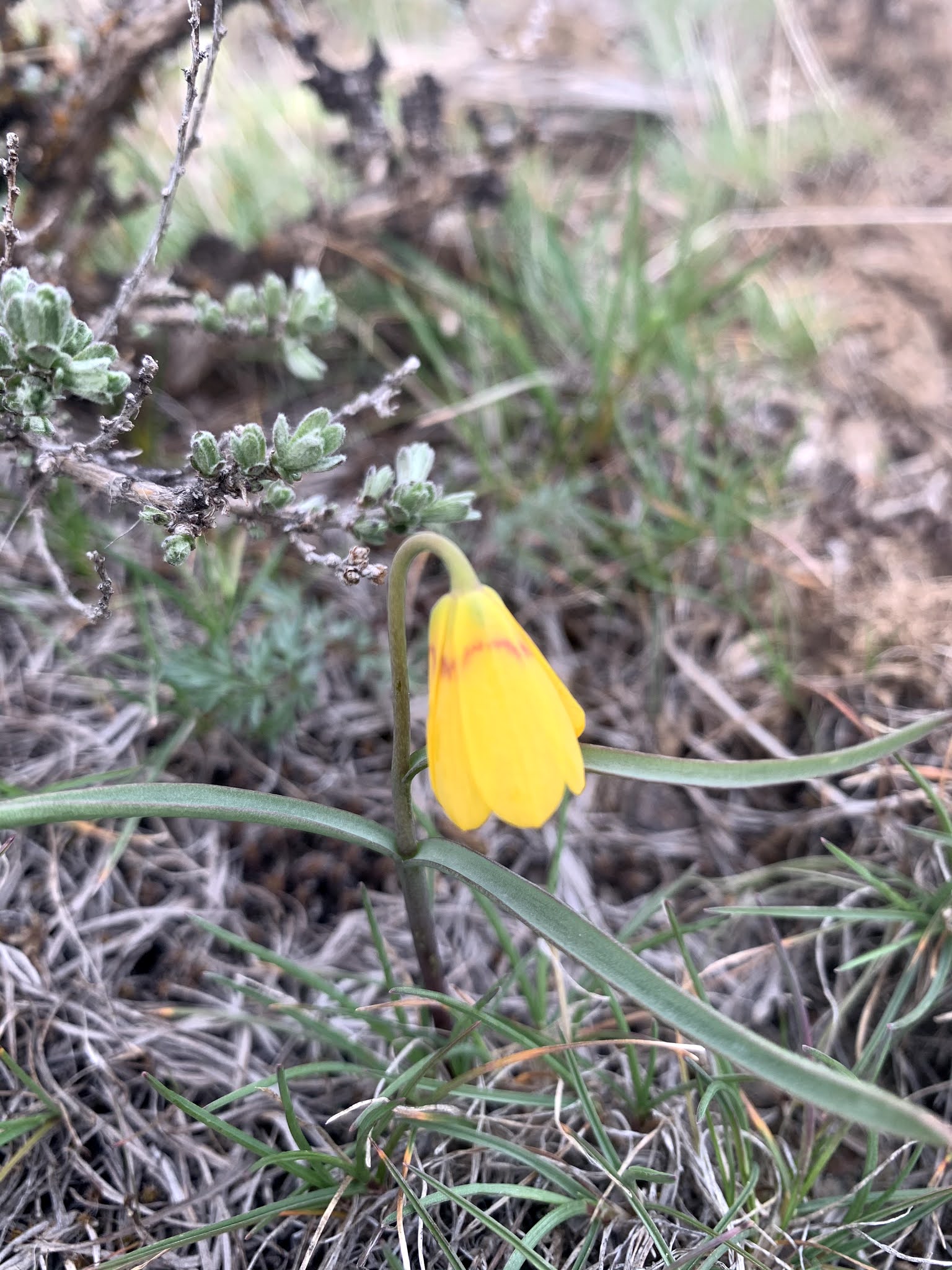
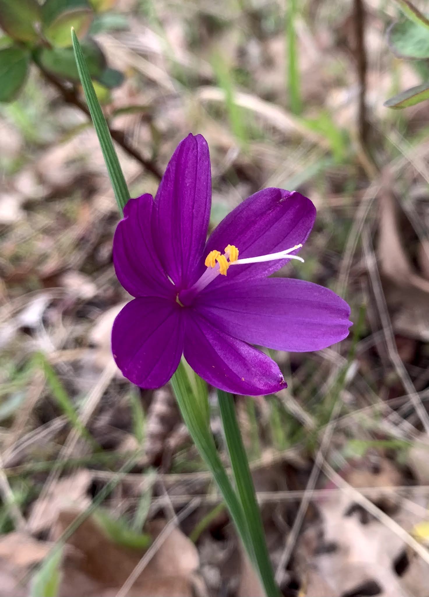
I took a higher cross trail than I've used before, and it also went through the woods over to Atwood Road. There are so many trails in this area, and with the need to avoid private property, I recommend taking a gps device. Up here is where I saw the grass widows, yellow bells, pacific hound's tooth, and violets in bloom.


View as I was hiking down the Labyrinth Trail, I was getting peek-a-boo views of Mt Hood through the clouds.


zoom of Mt Hood


Labyrinth Falls


small cave along Labyrinth Trail


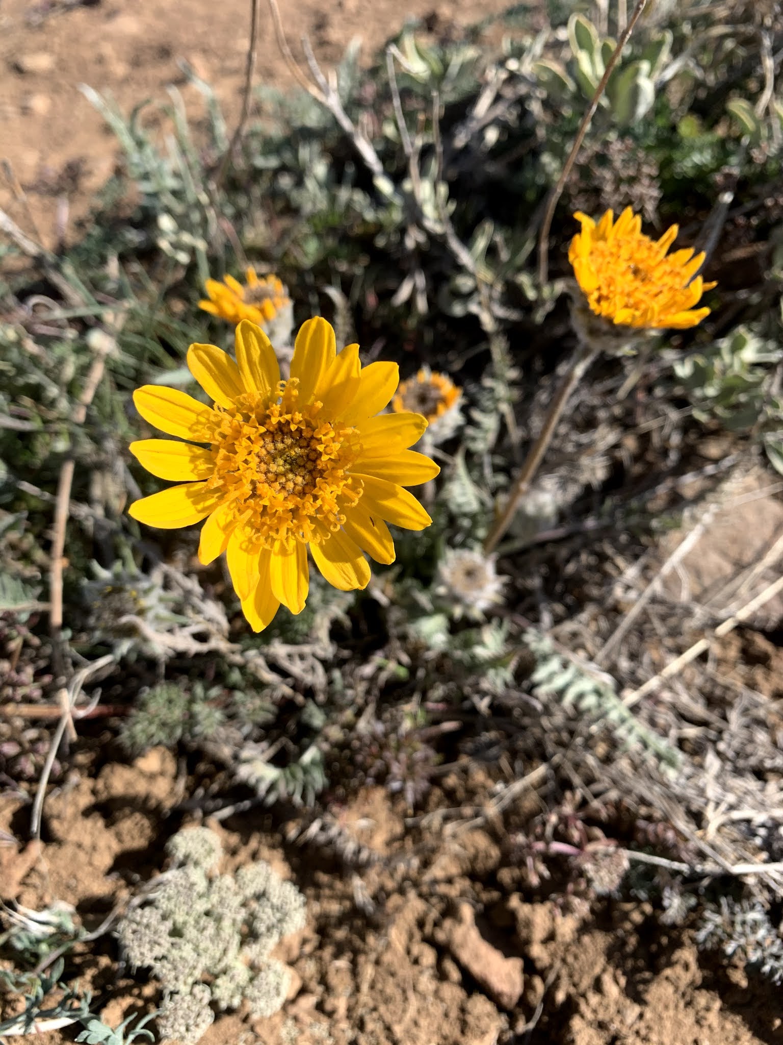
some of the wildflowers along the trail today, it was difficult getting photos with the wind today:



Monday, April 5, 2021

Baldy Mountain in Yakima Canyon

We drove out to Yakima Canyon to hike up Baldy Mountain. This is a 4 mile roundtrip hike from the gate at the trailhead with 2,000 ft of elevation gain. View of Baldy Mountain from the parking area at nearby Big Pines Campground.
We went up the steep trail, the beginning section gains over 800 ft in about 0.7 mile.
We saw quite a bit of balsaamroot in bloom here. We also saw 4 deer up on the ridge, but they hurried past before I could take a photo.
Part way up the trail, we had some nice views of the Yakima River in Yakima Canyon, view to the south

view to the north of Yakima Canyon 

a bit further up the trail, here we could see Cascade Peaks from the Snoqualmie Pass area to Mount Stuart and the enchantment peaks
As we got closer to the top of Baldy Mountain, we had great views to the west, in the distance we could see Mt Hood, Mt Adams and Mt Rainier.
zoom of Mt Adams
large radio tower on top of Baldy Mountain
View to the north from the top of Baldy Mountain
zoom of Mount Stuart
On our hike down, when we reached the loop, we opted for the gentler trail down, we also saw a helicopter flying above us.
We saw balsaamroot and lupine along this section of the trail
This was my first time seeing daggerpods in bloom
some of the other wildflowers we saw along the trail today


Thursday, April 1, 2021

Whiskey Dick Wildlife Area


 We went looking for a snow free hike with wildflowers this morning and found one at Whiskey Dick Wildlife Area between Ellensburg and Vantage. This area is closed to motor vehicles from February 1 - April 30, so this is a great time to hike on the closed roads.  We hiked 7.75 miles round trip with an overall gain of 800 ft. We only saw 2 other people, who were on horseback, all day.


View from the lower trail looking east towards the ridge we would ascend.


We hiked past the high point on the ridge, as that was a more gentle slope to ascend. Looking out towards the Columbia River to the east, before turning around and heading up to the high point


View from the high point looking west, Mount Adams and Mount Rainier in the far distance.
zoom of Rainier
zoom of Adams
view to the east from the high point
some of the wildflowers we saw in bloom along the trail today (and some cacti):