
I drove up to the Carbon River Entrance at Mt Rainier National Park to hike up to Ranger Falls and Green Lake, 9.8 miles round trip with an elevation gain of 1,500 ft. I only saw one other hiker on this trail today. After the storm damage of the road last year, it was nice to see the road was fixed and we could drive all the way to the parking area. The first 3.1 miles are through a lush forest, lots of trees, moss and nurse logs. Although it is spring on the calendar, it is still winter in the mountains.

The first 1.75 miles had a few snow patches on the closed road to the Ranger Falls trailhead. The elevation gain along this road walk is very mild.

The snow on the road walk became more consistent after 2 miles.

Shortly before the turn off to the Ranger Falls trail, the forest open for a view of Tirzah Peak and the Carbon River,

Ranger Falls is one mile up the trail.

After the short side trail to Ranger Falls, the trail continues uphill to Green Lake, which is maybe 0.25 miles after crossing the log bridge on Ranger Creek.

view of Ranger Creek from the log bridge

It was cloudy at Green Lake, very quiet and serene.

The ice is obviously melting on the lake, so I was surprised to see fresh boot prints on the probably thin ice.

 I drove up to the Carbon River Entrance at Mt Rainier National Park to hike up to Ranger Falls and Green Lake, 9.8 miles round trip with an elevation gain of 1,500 ft. I only saw one other hiker on this trail today. After the storm damage of the road last year, it was nice to see the road was fixed and we could drive all the way to the parking area. The first 3.1 miles are through a lush forest, lots of trees, moss and nurse logs. Although it is spring on the calendar, it is still winter in the mountains.
 The first 1.75 miles had a few snow patches on the closed road to the Ranger Falls trailhead. The elevation gain along this road walk is very mild.
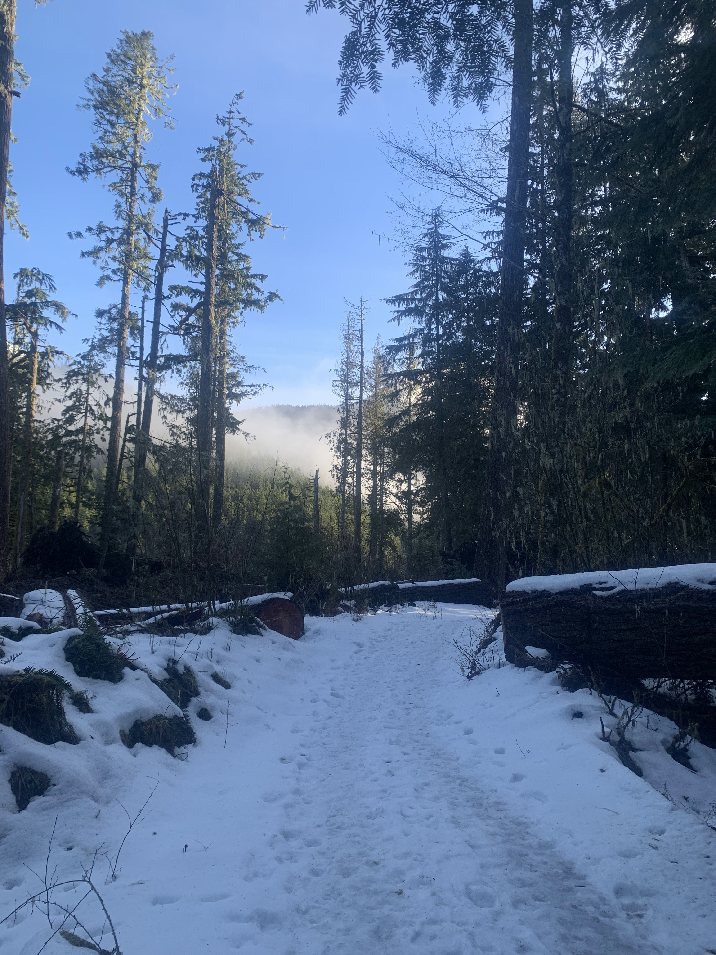 The snow on the road walk became more consistent after 2 miles.
 Shortly before the turn off to the Ranger Falls trail, the forest open for a view of Tirzah Peak and the Carbon River,
 Ranger Falls is one mile up the trail.
 After the short side trail to Ranger Falls, the trail continues uphill to Green Lake, which is maybe 0.25 miles after crossing the log bridge on Ranger Creek.
 view of Ranger Creek from the log bridge
 It was cloudy at Green Lake, very quiet and serene.
 The ice is obviously melting on the lake, so I was surprised to see fresh boot prints on the probably thin ice.
No comments:
Post a Comment