

 Besides bunchberries and coralroot, we saw vanilla leaf, queen's cup and strawberry blossoms along the trail. Between the trailhead and Tamanos Mountain we saw 5 hikers.
 The trail crosses several small streams as it switchbacks up through the woods.
 After passing the turnoff to Tamanos Creek Camp, the trail remains fairly flat for the next mile. Here we saw heather in bloom and Governors Ridge in the distance.
 Once we reached the meadows before the lakes we would be out in the open for the majority of the way up Tamanos Mountain. Loved seeing the paintbrush starting to bloom here!
Looking up to Tamanos Mountain on the west side of the trail. The boot track starts from the south end of Tamanos Mountain, south of Owyhigh Lakes.
 view of Owyhigh Lakes below Governors Ridge
 The trail continues through a short forested portion and opens up to another meadow, here is the boot path that leads up Tamanos Mountain, about 4 miles from the trailhead. We would hike through several meadows of glacier lilies.
This boot path is steep! Gaining over 1,400 ft in one mile. On a "gentler" portion of the trail, looking back down the trail: Governors Ridge to the left, Cowlitz Chimneys to the right. In the far distance, the Goat Rocks and Mt Adams. We had a fabulous view of Mt Rainier from the saddle of Tamanos Mountain. Pano view to the west from the saddle. The snow is off the trail.The top of Tamanos is off to the right.

Looking up the side of Tamanos from the saddle.
 We saw some phlox in bloom as we continued up the trail.
 Looking back down at the saddle of Tamanos, now in the far distance we could also see a hazy Mt Hood.

 As we neared the top of Tamanos, to the far north, we could see Glacier Peak and Mount Stuart. White River below.
 We walked out to the ridge below the "summit" of Tamanos and decided not to do the technical scramble about 40 ft above us.
 Penstemon in bloom up on Tamanos, loving this view of Mount Rainier.
 As we hiked back down on Tamanos, we had a nice view of the Owyhigh Lakes below Governors Ridge.
 Most of the hikers we saw along the trail (another 10-12), were coming up Tamanos from the saddle as we were headed down. From before we returned to the Owyhigh Lakes Trail to the trailhead, we saw no other people, more than 4 miles of trail to ourselves. We several of these birds on Tamanos.
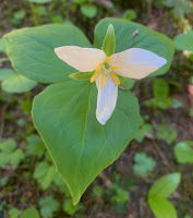


 We saw some phlox in bloom as we continued up the trail.
 Looking back down at the saddle of Tamanos, now in the far distance we could also see a hazy Mt Hood.
zoom of Mt Adams (left) and very small and hazy Mt Hood (right)

 As we neared the top of Tamanos, to the far north, we could see Glacier Peak and Mount Stuart. White River below.
 We walked out to the ridge below the "summit" of Tamanos and decided not to do the technical scramble about 40 ft above us.
Pano view from this ridge: Cowlitz Chimneys, Mt Rainier, top of Tamanos Mountain.

 Penstemon in bloom up on Tamanos, loving this view of Mount Rainier.
 As we hiked back down on Tamanos, we had a nice view of the Owyhigh Lakes below Governors Ridge.
 Most of the hikers we saw along the trail (another 10-12), were coming up Tamanos from the saddle as we were headed down. From before we returned to the Owyhigh Lakes Trail to the trailhead, we saw no other people, more than 4 miles of trail to ourselves. We several of these birds on Tamanos.
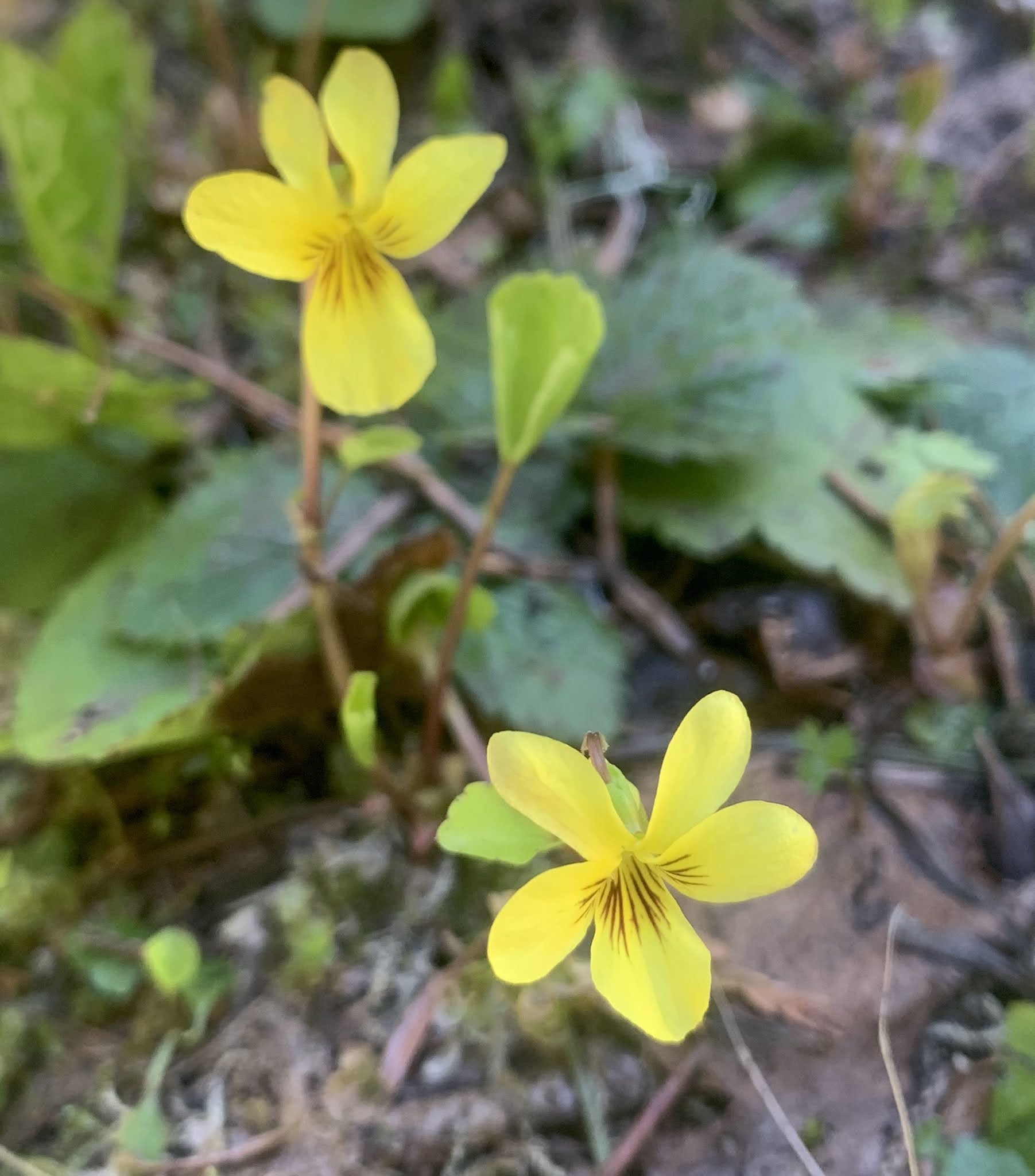
some of the wildflowers we saw in bloom along the trail:


No comments:
Post a Comment