

The first 3 to 3-1/2 miles are though the forest, following the Big Quilcene River up the valley. The rhododendrons were in bloom.

 There were several streams flowing across the trail, some with small waterfalls.

After 3 to 3-1/2 miles, the trail opens up as it crosses several avalanche slopes. Here we could see Marmot Pass in the distance, between the peaks.


 This field had hundreds and hundreds of chocolate lilies in bloom along with paintbrush and other alpine flowers.
 Camp Mystery is about 4-1/2 miles up from the trailhead, there was lots of mud and water on the trail here from the melting snow.
 View from Marmot Pass to the East, Glacier Peak in the far distance.
 During our lunch break, we saw rainbow colors from a sun dog over the ridge to the south
 View of Buckhorn Mountain to the north from Marmot Pass
 Pano to the west from Buckhorn Mountain: many Olympic Peaks, we were amazed to have the summit to ourselves as we took a second lunch break.

 view of Mount Constance as we hiked down Buckhorn Mountain.
 View of the false summit of Buckhorn Mountain on our hike down this steep section near the true summit
 view down to Marmot Pass along the boot track down Buckhorn Mountain


The Big Quilcene River was flowing with lots of water.


All of the creek crossings were easy, stepping on rocks on branches to get across.


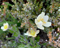
The two higher avalanche slopes were filled with wildflowers.
 This field had hundreds and hundreds of chocolate lilies in bloom along with paintbrush and other alpine flowers.
 Camp Mystery is about 4-1/2 miles up from the trailhead, there was lots of mud and water on the trail here from the melting snow.
A short ways past the camp, the trail went through this field filled with glacier lilies.
5.5 miles from the trailhead, we reached Marmot Pass and took a lunch break.
 View from Marmot Pass to the East, Glacier Peak in the far distance.
View of Olympic peaks to the east from Marmot Pass

 During our lunch break, we saw rainbow colors from a sun dog over the ridge to the south
 View of Buckhorn Mountain to the north from Marmot Pass
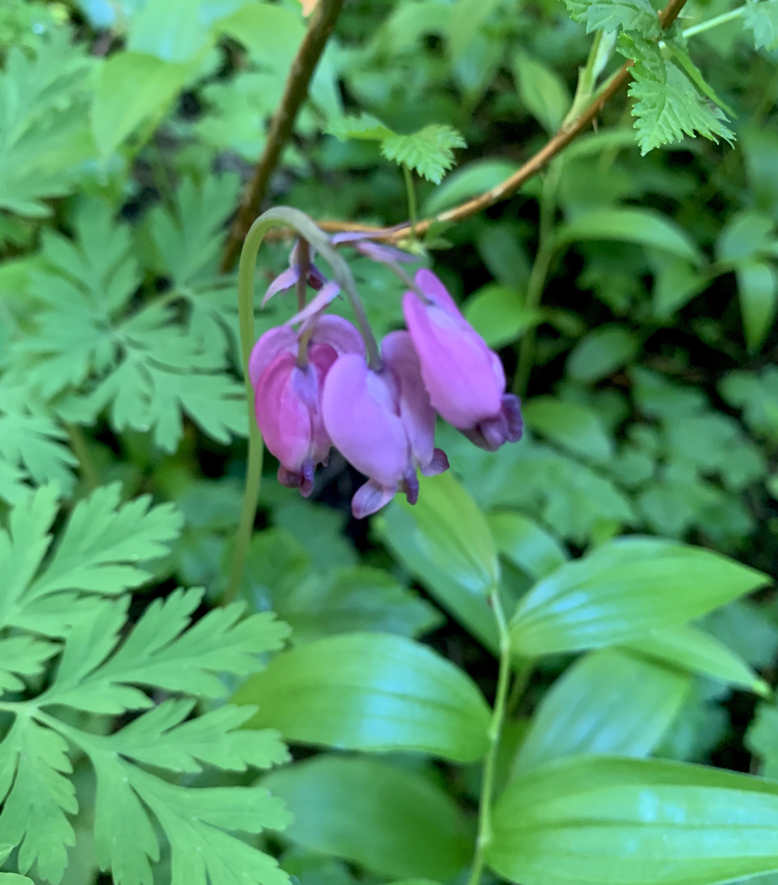
The first part of the boot track going up Buckhorn Mountain was very steep. Fortunately, there were many wildflowers to enjoy along the way.
 As we gained elevation, we saw Mt Rainier to the southwest.
 The boot track then traverses the ridge of Buckhorn Mountain, going over a false summit. To the northwest, Mt Baker over Mount Townsend on the left, and the summit of Buckhorn Mountain on the right.
 There is another very steep section going up to the summit of Buckhorn Mountain.
Pano to the west from Buckhorn Mountain, we could see across Puget Sound to Mt Baker, Glacier Peak, Mt Rainier, Mt Adams, Mt Hood and Mt St Helens.

 view of Mount Constance as we hiked down Buckhorn Mountain.
 View of the false summit of Buckhorn Mountain on our hike down this steep section near the true summit
 view down to Marmot Pass along the boot track down Buckhorn Mountain
some of the wildflowers we saw along the trail today:


No comments:
Post a Comment