We drove down to Mt St Helens to hike one of our favorite trails: Coldwater Peak, 12 miles round trip with 1,900 ft of overall elevation gain.
The wildflowers were very abundant, starting from the parking area at Johnston Ridge.
We hiked east on Boundary Trail #1, which has great views into the crater of Mt St Helens to the south.
The trail follows the ridge for about 2 miles with views of Mt St Helens most of the way.
Looking to the north we could see our destination: Coldwater Peak.

There are no water sources along the trail in the summer, so it's important to carry plenty of water.

The trail meanders up and down over small hills occasionally obscuring Mt St Helens,
and then the mountain reappears along the trail.
The portion of the trail that goes out to Devil's Elbow on the west side has been closed, and a new shorter trail section has been created. There are no views on this short section, but there are many wildflowers brightening up the trail.
There are a couple of trails that split off of the Boundary Trail #1, so it is important to watch for the trail signs.
The Boundary Trail #1 goes along the west side of Harry's Ridge (with a spur trail up to the ridge). Here we can see the ridge we will hike up on our way to Coldwater Peak on the other side of the wildflower fields.
After passing Harry's Ridge, the trail begins to climb up the ridge towards Coldwater Peak, and we began to have views of Spirit Lake and Mt Adams.
Continuing up the trail, looking back at Harry's Ridge, fields and fields of purple lupine and Mt St Helens
Pano from further up the ridge: Mt Adams, Spirit Lake, Windy Ridge, Mt Hood, Harry's Ridge and Mt St Helens.

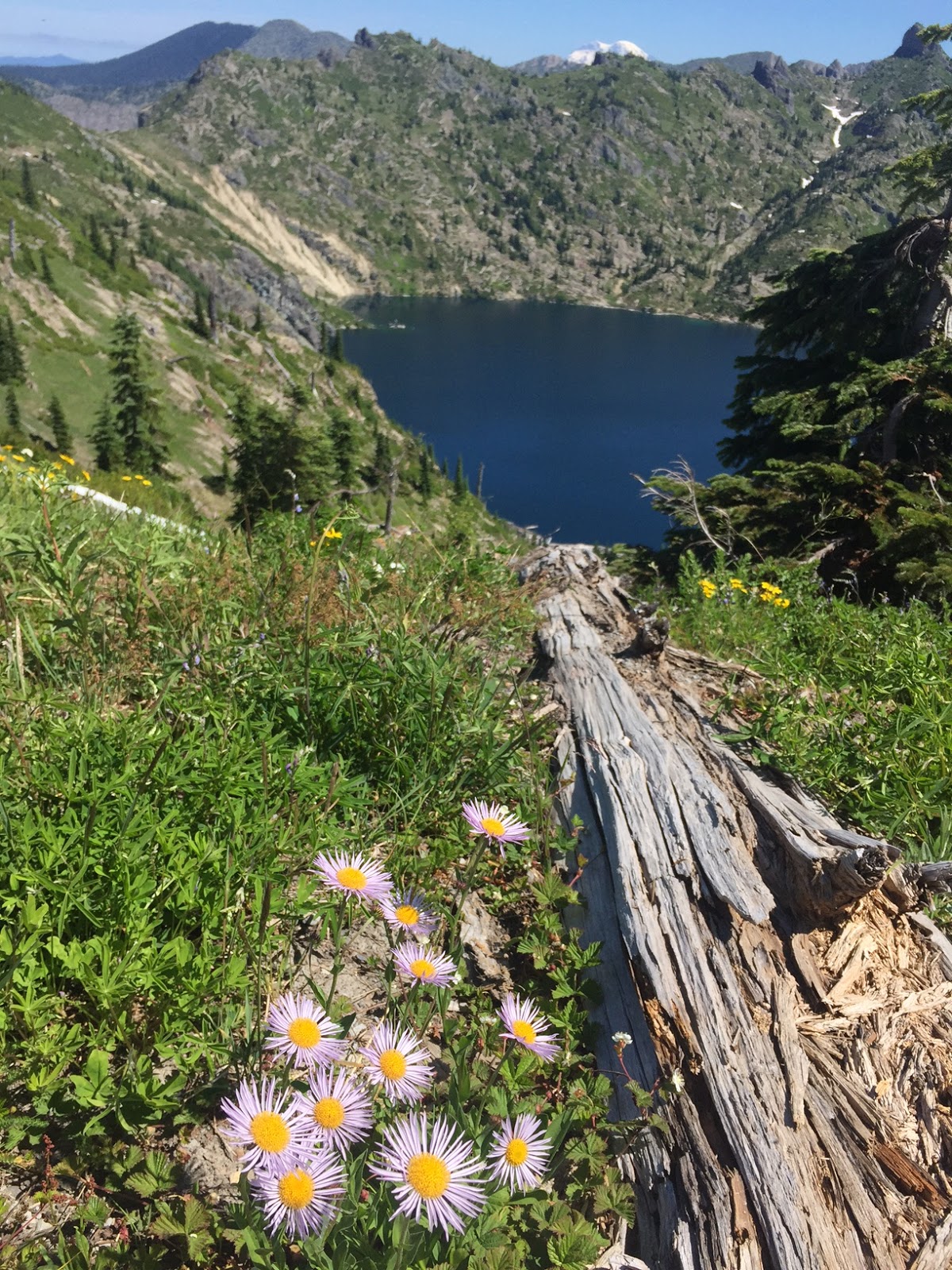
On top of the ridge, we could now see St Helens Lake and the very top of Mt Rainier peeking over the mountains to the north.
The trail meanders around to the west, and will go through a large hole in the rock high above St Helens Lake before continuing to Coldwater Peak seen in the background.
The hole in the rock is only visible from directly in front and in back of the rock.
After going through the hole in the rock, the trail clings to the edge of the rocks on the west side of St Helens Lake, before descending down to the junction with the Coldwater Trail.
North of the junction with the Coldwater Trail, the Boundary Trail #1 crosses a snow field (which will soon melt in the summer heat). 1/2 mile after the junction is the 3/4 mile spur trail up to Coldwater Peak.
Pano from part way up the trail to Coldwater Peak:

The trail climbs 600 ft in 3/4 mile to the top, but there were lots of wildflowers to enjoy, and
gorgeous views!
The switchbacks gave us many views.
Nearing the summit of Coldwater Peak, Mt Rainer in the distance.
View to the west from Coldwater Peak, Coldwater Lake in the distance.
Pano to the east from Coldwater Peak:

Hiking back, we got to enjoy all the views and fun aspects of this trail again!!! (Mt Adams as seen through the hole in the rock)
From here we could see most of our trail back to Johnston Ridge.
Down below we saw a herd of elk resting. Later we saw them running across the fields in a large cloud of dust!

The wildflowers continued to amaze me on our hike back to the trailhead,

along with the views of Mt St Helens.
We also saw many ground squirrels and chipmunks, this was the only one that was still enough for me to get a photo.
Some of the wildflowers we saw in bloom along the trail today (and ripe strawberries, yum!!!)


 On top of the ridge, we could now see St Helens Lake and the very top of Mt Rainier peeking over the mountains to the north.


 The trail climbs 600 ft in 3/4 mile to the top, but there were lots of wildflowers to enjoy, and


 Hiking back, we got to enjoy all the views and fun aspects of this trail again!!! (Mt Adams as seen through the hole in the rock)


 along with the views of Mt St Helens.


No comments:
Post a Comment