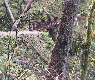
This is a lovely trail through a beautiful forest going up the Eagle Creek Gorge.
With the good snow year and heavy rains this winter and spring, there is lots of water in the falls, coming down over the rocky cliffs and spilling out of the creeks and onto the trail.
Looking through the trees and across the creek we would see many unnamed falls and cascades.
In several sections, the trail is carved along the steep rocky cliffs rising above Eagle Creek
 Water poured over several of the weeping walls as small waterfalls.
 I love the mossy, plant covered rocky walls with the water coming down.
In some areas, we could walk in front of or behind the falling water, in other places we embraced the fresh showers of water.
I'm not certain, but I think we we got a glimpse of where the water from Metlako Falls pours into Eagle Creek.
The spur trail to view Metlako Falls is now closed because a large section fell into the gorge and this trail is not safe.
About 2 miles from the trailhead is a viewpoint looking down at Punchbowl Falls (35 ft).
Enjoying the tail as it continues up the gorge.
Eagle Creek as it flows between high rocky cliffs.
Wet and muddy trail today.
Beautiful teal water
About 3 miles up the trail is Loowit Falls (90 ft)
Watching the water pour through the channel under High Bridge.
Looking back at High Bridge. After High Bridge, there were was some large patches of snow on the trail. They were easy to cross and no traction was needed.
Four miles up the trail is 4-1/2 mile bridge. There were lots of glacier lilies in bloom along this section.
More waterfalls across the creek.
About 4.5 miles from the trailhead: Wy'Est Falls (140 ft) at the Wy'Est Creek crossing. The water was much deeper than it appears in this photo. We found many people who turned around here. We made it safely across.
A bit further on, there is a section where the trail as partially eroded and is very muddy.
Small cascade in Eagle Creek
The last mile of the trail before Tunnel Falls had many downed trees. Most were easy to step over, this one was a bit too high for us to go over, so under we went.
Over the years the dripping water has carved out shallow "bowls" in the rocks on this section. I enjoyed watching the rain create circles in the water.
I was surprised how well we could see Tunnel Falls from the east side of the trail! Several trees must have been knocked down since I hiked here last year.
6 miles from the trailhead. A tunnel has been made behind the falls, so the trail can continue to the other side.
Inside the tunnel
 Tunnel falls (1,200ft)
You can see where the trail disappears into the tunnel behind the falls.
We saw a beautiful rainbow below Tunnel Falls
From Tunnel Falls the trail continues for many miles, but it is worth it to hike an additional 1/4 mile on this steep narrow trail high above the creek to
Twister Falls (140 ft)
Some of the wildflowers we saw today:
 |
| woodland-star |
 |
| biscuit root |
 |
| violets |
 |
| Saxifrage |
 |
| ? speedwell??? |


 |
| Monkey Flower |
 |
| ? Cusick's Rock cress??? |
 |
| trillium |
 |
| Dutchman's Breeches |
 |
| Glacier lillies |
 |
| Coltsfoot |


No comments:
Post a Comment