Sunday, March 8, 2020

Hurricane Hill Snowshoe

Drove up to Hurricane Ridge to snowshoe up to Hurricane Hill, 6 miles round trip with an overall elevation gain of 1,100 ft.
There was more snow here than two weeks ago, making the route less icy.
View from next to the visitor center
A short ways down the closed Hurricane Hill Road, there is a nice view the Bailey Range to the west.
Further down, Mount Angels to the east.
Lots of frozen trees along the way.
We didn't start until late morning, so the route was fairly well packed down.
Looking towards Hurricane Hill to the north.
Clouds began to roll in as we were ascending Hurricane Hill
No views to the north from Hurricane Hill, but a bit of blue sky.
View to the west from Hurricane Hill


Panorama to the south from Hurricane Hill

We left the packed down route from the top of Hurricane Hill and snowshoed out along the ridge line of Hurricane Hill. Here the snow was soft and we were glad we brought snowshoes.
Looking back at Hurricane Hill.
Even on this cloudy afternoon, we enjoyed watching the clouds move across the mountains as we returned.
Lots of icicles on the trees today.
another look at the Bailey Range on the way down
One tree to duck under going along the ridge line
About 0.5 from the parking area, we saw the clouds parting to the north from this view spot. Hurricane Hill on the left, Mount Angeles on the right.

Friday, March 6, 2020

Ancient Lakes

Each time I've come to Ancient Lakes, I've hiked some of the same areas and something different. I have always parked at the lower parking area. Today we hiked about 7.5 miles with an overall elevation gain of 1,100 ft.
Waterfall coming off the coulee wall to the east.
One of the ancient lakes
another ancient lake, with a view the waterfalls at the far end.
View of the lower falls from the lakeshore.
View of the same falls as we continued around this lake.
There were lots of signs of beaver activity, but we did not see any beavers today.
Another more distant view of the waterfalls.
Another one of the lakes,  we watched Canadian geese land in the water.
and another ancient lake, with the blue sky reflecting in the lake.
We then took a trail up the west coulee wall, here on the bench, we had a nice view of the area we had just hiked through.
Basalt columns as we continue up the coulee wall.
from up on the coulee wall, looking down into one end of the coulee  that holds Dusty Lake.
View of Dusty Lake from the coulee wall.

Today, we took a trail down to the bench of the coulee wall on the Dusky Lake side for a little exploring. Here we are heading back up from the bench to cross back down to the Ancient Lakes side of the wall.


Lots of interesting rock formations.

We continued back along the west side of the coulee. These rock formations make me think of a ruined castle.


The only wildflowers we saw in bloom today were a few sagebrush buttercups.


I like the contrast of the bright lichen on the dried bush.
Today's route.

Thursday, March 5, 2020

Indian Creek Teanaway Community Forest

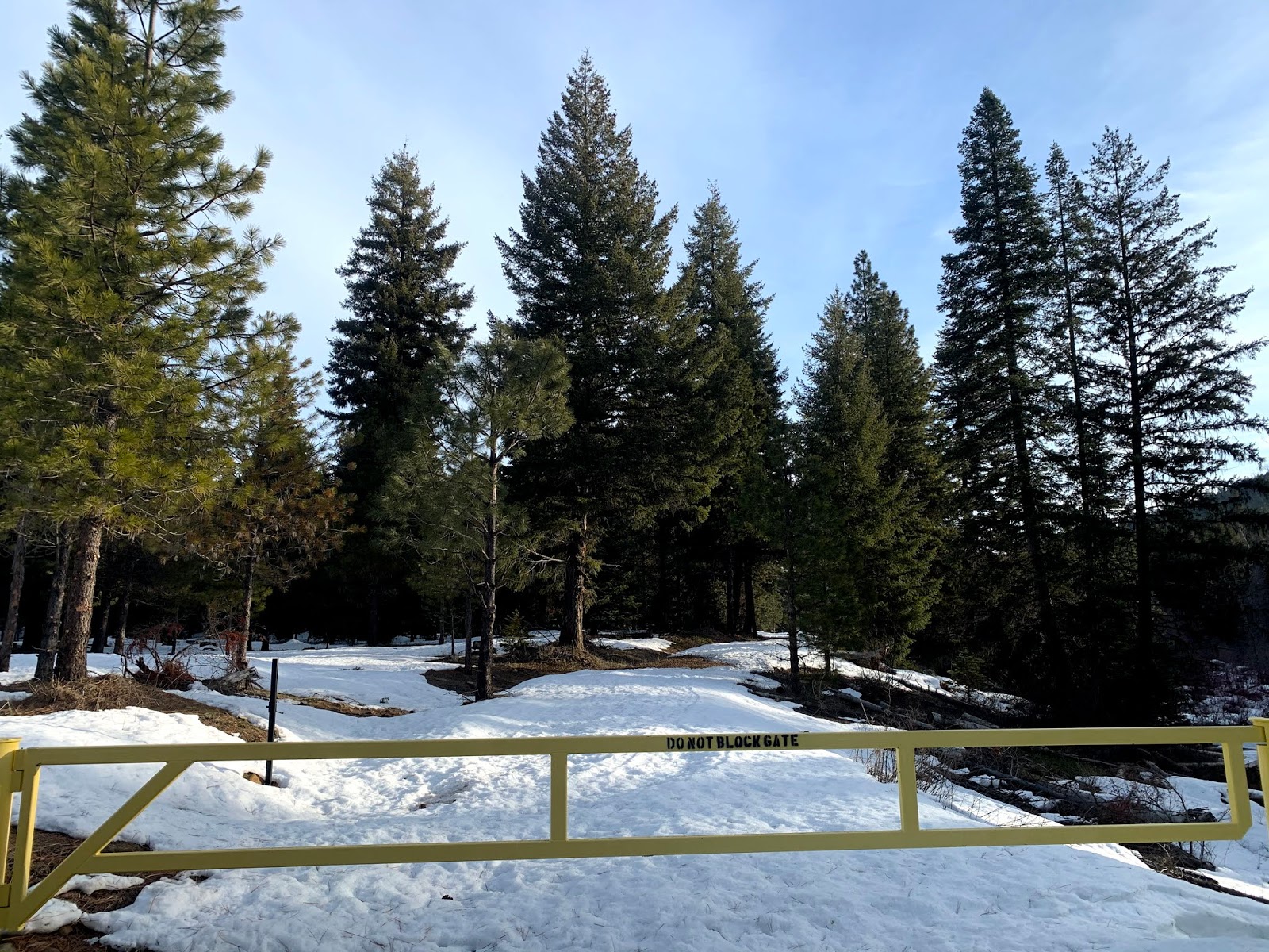
We headed up the North Fork Teanaway Road to explore around Indian Creek.  We were able to park off the road without blocking the gate. We created a loop using our gps and topo map. We hiked 5.6 miles with 950 ft of gain overall. The areas with snow was firm but not icy so we did not use our snowshoes our traction today.


We headed northeastward around a knoll, making our way through the forest.

We were hoping to get some views of Mt Stuart, and we occasionally had a few glimpses over and thought the trees.
We saw several animal prints in the snow, including this large cat print.


We found a lovely pond.

The trees prevented us from seeing the peaks to the north and east.
We made our way over to what we think was Wetland Jack Road and up to a ridge of 3405'.


We had a glimpse of Mt Stuart and Ingalls peaks.
Further along this ridge, we found this large rock formation.
We decided not to descend down the south slope here, as it was very steep.

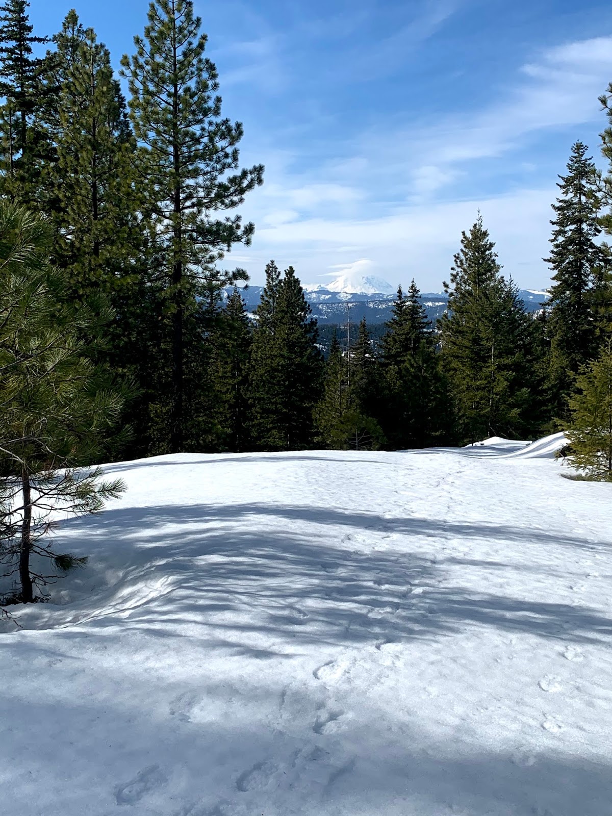
When we headed back down a bit on the ridge, we could see Mt Rainer to the southwest!


zoom of Rainier
Part way down the ridge, we looked for an alternate way down off the ridge to Indian Creek and took a lunch break in a sunny meadow.
As we descended down this slope, we saw a small waterfall.
Along the closed Indian Creek Road.

Although there weren't views in the valley of Indian Creek, it was nice to be hiking in the sun under blue skies!
Back on the main road, we had a nice view of Mt Stuart.


Monday, March 2, 2020

Crystal Mountain Snowshoe

We drove up to Crystal Mountain Ski Resort to snowshoe on their marked Bullion Basin trails to be out of the rain today.
We started at the Upper C lot and took the lower Blue Bell Loop all the way around to the upper loop, then up the Mary Lee Trail to the Bullion Loop going up the upper east trail to join Ted's Trail all the way back down to the Mary Lee Trail and then completed the Blue Bell Loop (upper trail) back to the parking lot. This was about 3 miles with 840 ft of elevation gain.
The trails were well packed down after the weekend. Although we would only see two other snowshoers and 2 skiers on these trails today.
It was nice to see a fresh layer of snow on the trees. There were enough clouds to make some of the nearby peaks hard to see.
A few times, the sun attempted to break through the clouds.
We could barely see the ski runs across the valley. This view is from the upper section of the Bullion Loop.

Some burnt trees from the Norse Peak fire a few years ago.
We had views of some of the nearby hills.
There were a couple of creek crossings.
Misty peaks across the way.
Rocky slope above us.
We saw evidence of roller balls and pinwheels from this past weekend.


Sign indicating the last turn back to the parking lot on the Bluebell Loop.