
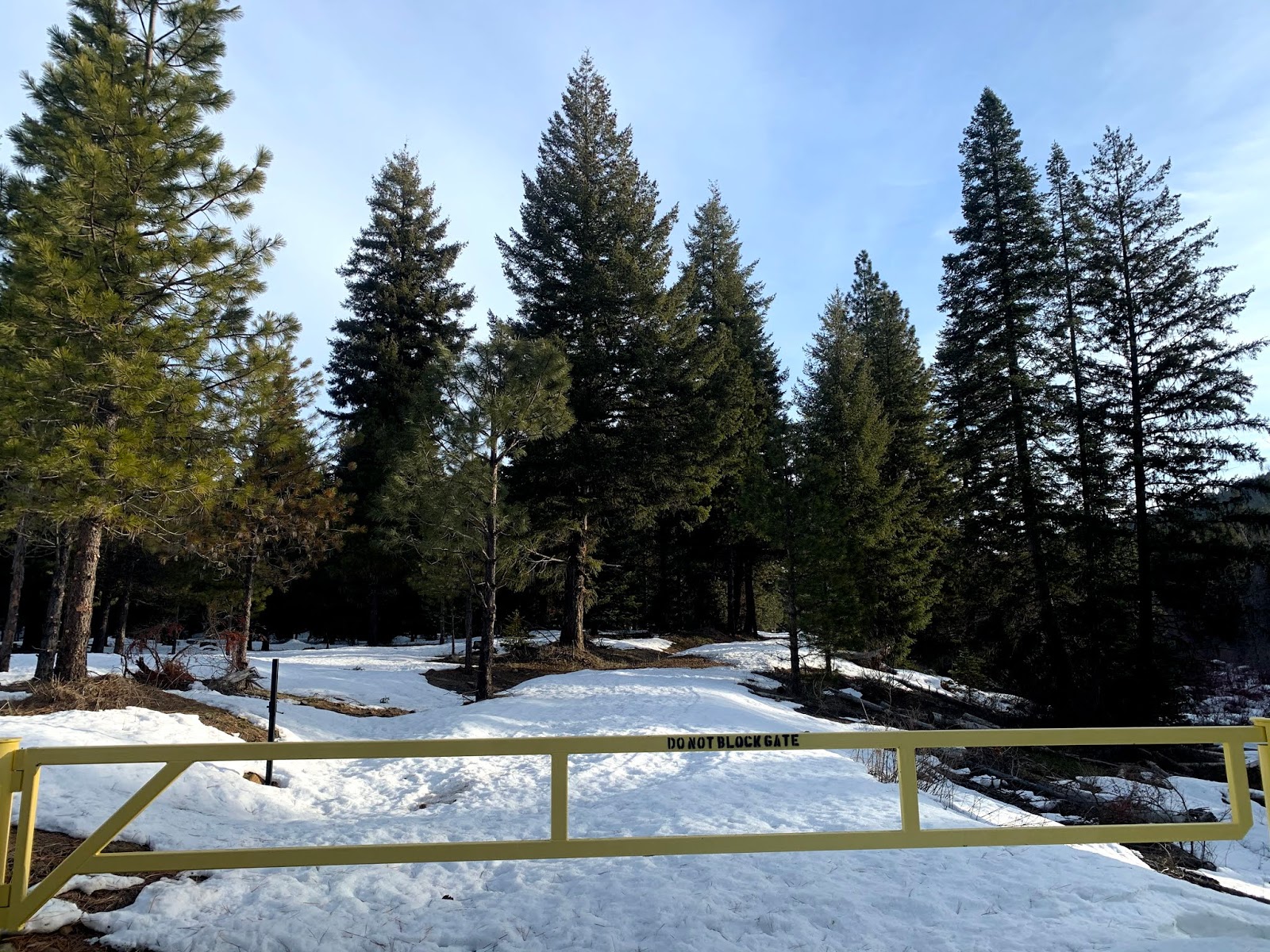
We headed up the North Fork Teanaway Road to explore around Indian Creek. We were able to park off the road without blocking the gate. We created a loop using our gps and topo map. We hiked 5.6 miles with 950 ft of gain overall. The areas with snow was firm but not icy so we did not use our snowshoes our traction today.

We headed northeastward around a knoll, making our way through the forest.


We saw several animal prints in the snow, including this large cat print.

We found a lovely pond.


We made our way over to what we think was Wetland Jack Road and up to a ridge of 3405'.
We had a glimpse of Mt Stuart and Ingalls peaks.

Further along this ridge, we found this large rock formation.
We decided not to descend down the south slope here, as it was very steep.
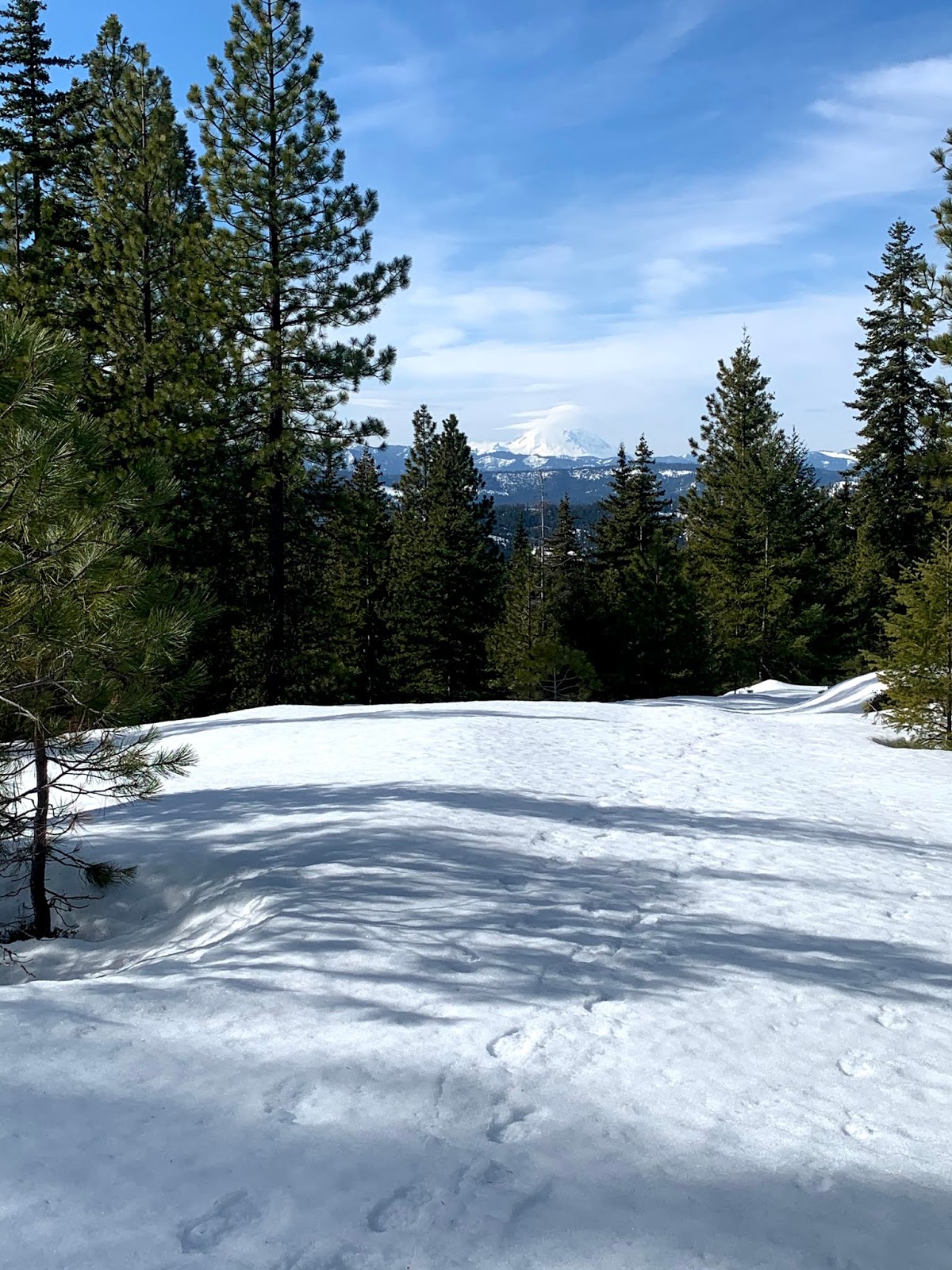
 zoom of Rainier


No comments:
Post a Comment