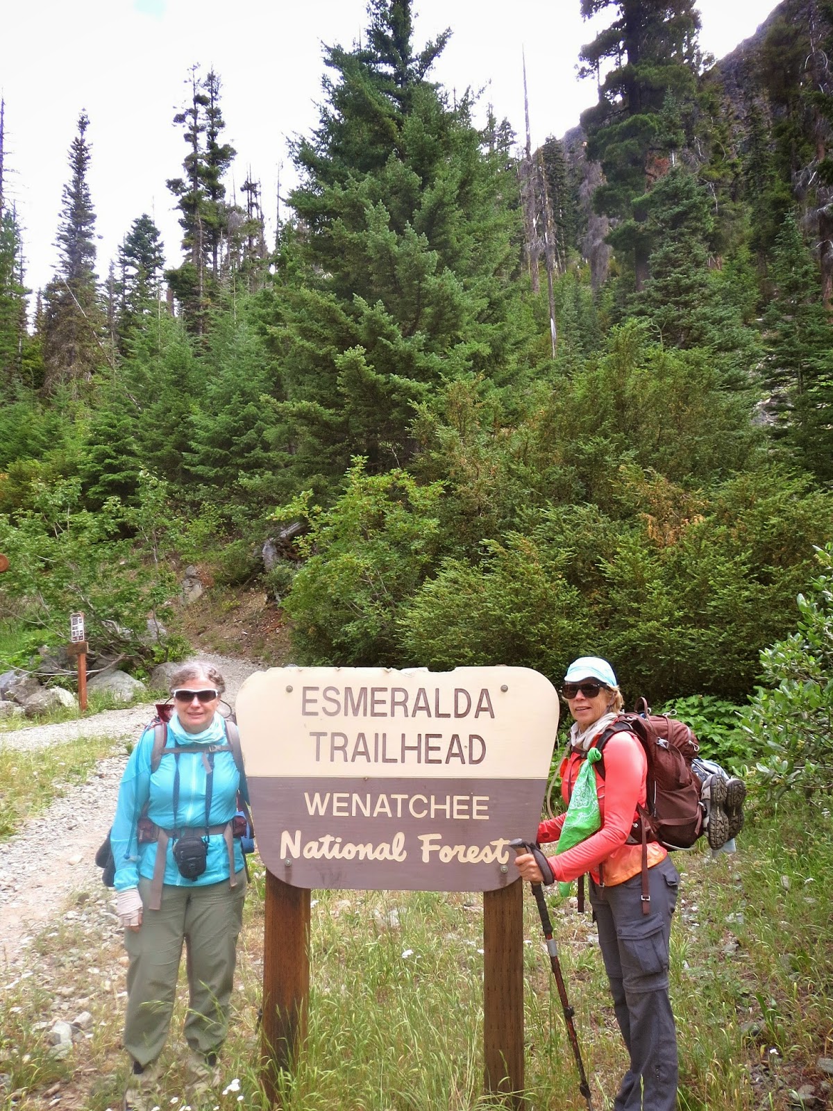
We headed out to Teanaway for a wildflower hike away from the rain. We found the parking lot full, but were able to park down the road a bit. Our hike would be 9 miles round trip and an elevation gain of 2,200 ft.
This is also a trail for bikes and horses, so we stepped over lots of horse droppings.
The trail follows the North Fork of the Teanaway River for a ways through open forest.
Hike takes you around the end of Esmerelda Peaks
and continues around to the other side. Fabulous meadow of wildflowers. Looking back to Esmerelda Peaks.

We crossed lots of small creeks.
As the hike climbs upward, we saw more wildflowers.
The wildflowers were everywhere along the hike.

Beautiful creeks cascading down the hills.
Looking back toward the basin where the trail began.
heading up toward the unnamed pass
About 3+ miles and 1,500 ft elevation gain, the Esmerelda Basin trail continues off to the left toward Fortune Creek Pass. We choose to continue to the right on the County Line Trail toward Lake Ann.
So many great views with the wildflowers.
The final climb to the ridge was among boulders and lots of loose rocks
At the ridgeline.
Looking down at Lake Ann about 250 ft below the ridge.
Some of the many wildflowers we saw today on our hike:


No comments:
Post a Comment