
 On a mostly cloudy day, I decided to hike the Big Creek Loop Trail in the southern Olympics (5.4 mile loop with about 1,000 ft of gain), I also added hiking up the Elinor Connector Trail to the junction with the Lower Mt Elinor Trailhead. Overall, 7.8 miles with 2,000 ft gain. In the winter, parking is outside the closed gate to the Big Creek Campground.
  I did the loop clockwise, which starts along the campground loop. A lovely forest.
 From the Campground Loop, the Big Creek Loop takes off to the left, going over Big Creek on this bridge.


 This is a great trail with lots of benches along the way.
 lots of lovely moss
 View of the bridge over the North Branch of the Big Creek as I start up the Elinor Connector Trail.
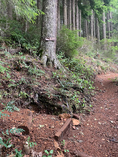
View from the Overlook. Clouds covered Lake cushion, but through the trees I could see Mt Adams and Mt Rainier in the distance.

 zoom of Mt Adams
 zoom of Mt Rainier
 As it was only 0.2 miles to the junction with the Lower Mount Elinor trail, so I headed up there before turning back to rejoin the Big Creek Loop Trail.
 A short ways down from the junction with the Lower Mount Elinort Trail junction, I had this view of the foothills to the north.
 unnamed creek
 Back on the Big Creek Loop Trail, the bridge over the North Branch of Big Creek
 North Branch of Big Creek upstream from the bridge
 Bridge over Big Creek
 Big Creek upstream from the bridge
 more streams
 I took this short spur down to another area along Big Creek
There was a bench with this view of the confluence of the North Branch of Big Creek and Big Creek

 Skinwood Creek
 Bridge over Skinwwod Creek
 more creeks

 Back down on the Campground Loop Trail
 The sun lit up the dried ferns near the end of the loop.


