Monday, December 4, 2017

Annette Lake

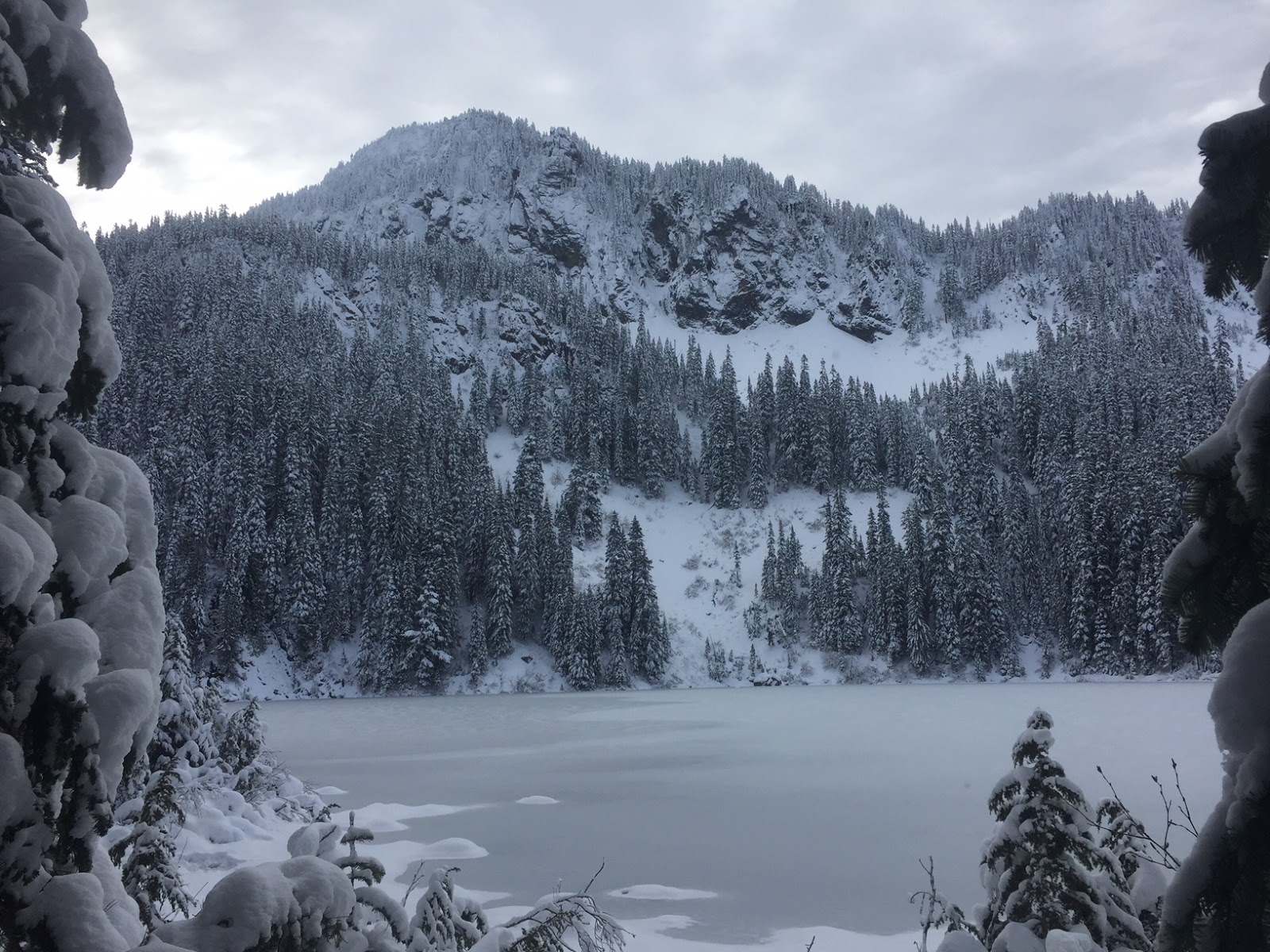
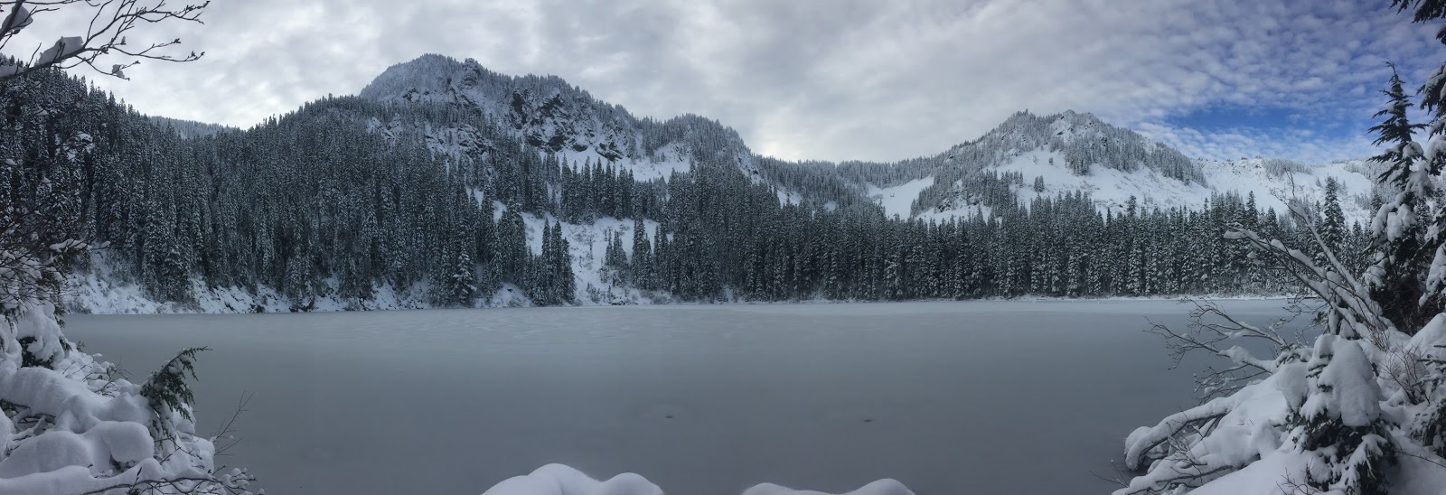
 Drove up I-90 before Snoqualmie Pass to hike up to Annette Lake at 3,600 ft. The hike is 7.5 miles round trip with 1,800 ft overall gain. The avalanche risk for below tree level was low today, so we felt comfortable doing this hike. On the upper trail, the snow was well packed down and we did not need our snowshoes.

0.2 miles from the trailhead, a bridge crosses Humpback Creek, there was lots of water flowing today.

 Most of the trail is in the woods.
 We had some peek a boo views of nearby peaks.
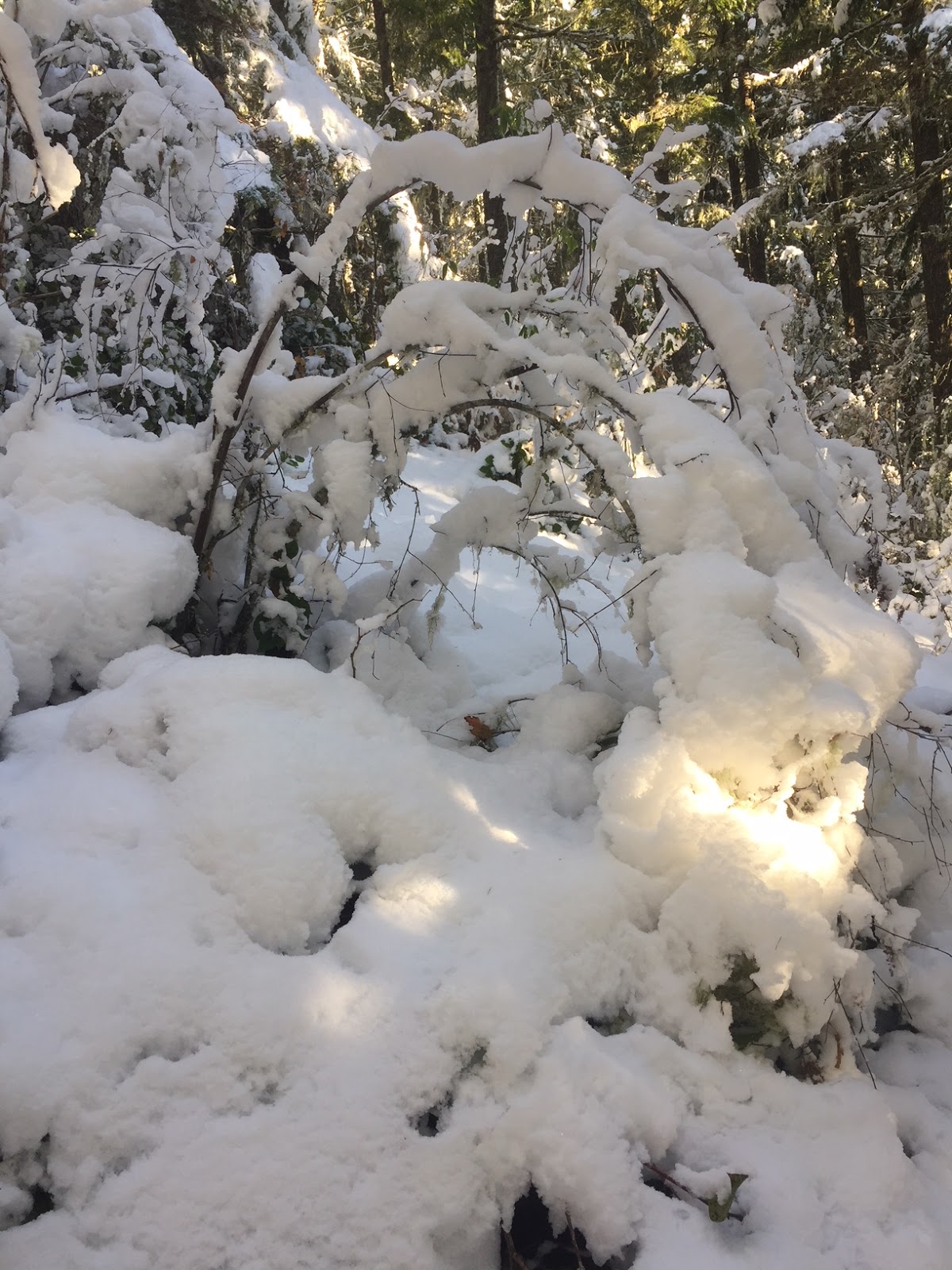
 More snow as the trail gained elevation.
Many creeks along the trail.


Nice views of Humpback Mountain while we crossed the talus fields/avalanche chutes.


From here the trail is fairly flat to the lake.


 First view of Annette Lake
 We found several different spots along the shore to enjoy Annette Lake.


 Lovely blue skies as we hiked back down the trail.

Friday, December 1, 2017

Reflection Lakes Snowshoe

 The weather forecast was for cloudy and snowing, so we opted to snowshoe to Reflection Lakes from the Narada Falls parking area in Mt Rainier National Park. A 3+ mile round trip with about 300 ft of gain.
There were blue skies and a view of Mt Rainier while we were waiting for the gate to open at Longmire.
 View of the Paradise River as we crossed the bridge to the trailhead.
 The trail markers have not yet been set up, but we could see where previous snowshoers had gone before the last snowfall.

 For awhile, the trail follows along the Paradise River.


a winter wonderland

As the avalanche risk below tree level was low today, we choose to follow the closed Stevens Canyon Road via Inspiration Point to Relection Lakes. The Tatoosh Range was clear.

 There were lots of icicles.


Watched the clouds roll in over the Tatoosh.
 Cloudy at Reflection Lakes


 Mt Rainier was hiding behind the clouds. Occasionally, we could see the top peeking out.
 On the snowshoe back, we had some glimpses of the lower flanks of Mt Rainier.
 We saw some blue sky beyond Eagle Peak.
 Back at the beginning of the trail, we then hiked down to view Narada Falls.
 On the drive out, we stopped to view Upper Christine Falls


and Lower Christine Falls


Wednesday, November 29, 2017

Lake Angeles

Headed up to the north side of Olympic National Park to hike up to Lake Angeles. 7.4 miles round trip with 2,350 ft of gain. Nice steady incline through the forest.
Here we crossed a wood bridge that was a bit icy and slick.


There was a lot of water in the creek.

About 2,600 ft we ran into snow.

There were some nice icicles in the forest.

 There is a pond shortly before the lake. I liked the frozen ripples.
 View across the pond


 There was some water on the trail shortly after the pond.
Pano at Lake Angeles and Klahhane Ridge

 More views at Lake Angeles


Monday, November 6, 2017

Mount Walker

 On a beautiful sunny morning after fresh lowland snow, headed up to Quilcene off of Hwy 101 to hike up to Mount Walker. The road is still open, so I was able to park at the trailhead. This is a 5 mile round trip hike with 2,000 ft of elevation gain (in the first 2 miles).
The first part of the trail was snow free. Watched the sun light up the top of the trees.
 Not many signs of fall left.
 Trail became snowy at 1,400 ft
 Sun lighting up the ground through the forest.
 North Viewpoint. About 4-5" of snow on top of Mount Walker 2,800 ft.
 Northeast Olympic Mtns.
Pano from the North Viewpoint. Hazy over Puget Sound, but was able to see Mt Baker

 1/4 mile walk toward the South Viewpoint. Glimpse of Mount Constance (I think) through the trees.
 Fresh snow on the way to the South Viewpoint. Had the top of Mount Walker to myself this morning.

 View from the South Viewpoint. Mt Rainier below the puffy cloud across Dabob Bay.


Nearby hills
Winter is coming