Monday, April 28, 2025
Benham Falls from the East Day Use Trailhead
After hiking up to Lava Butte, we went to the Benham Falls East Day Use Trailhead about 4 miles west. This was a short 1.7 mile round trip hike to the falls on part of the Deschutes Trail. The trail went along the Deschutes River, crossing the river on a large foot bridge to continue down to the falls. Benham Falls resembled a large cascade more than a falls, that might be due to the large amount of water in the Deschutes River.
Lava Butte Lookout
We drove to the Lava Lands Area of Newberry National Volcanic Monumnent this morning. Both the visitor center and the road up to Lava Butte are still closed for the season. We decied to hike up the closed road (1.5 miles/500 ft gain) then visited the lookout and hiked around the top on the Lava Butte Trail (about 0.35 miles/50'gain), overall 3.3 miles and 550' gain. Great views on a sunny day! View looking across the lava field to Lava Butte.
some views heading up the road walk
views as we go up to the fire lookout, and around the top of the butte
zoom of Mt Bachelor
zoom of South Sister and Broken Top
zoom of North and Middle Sisters
zoom of Mt Washington to the north
Sunday, April 27, 2025
Waters Gulch and Overlook Trails
We drove towards Parckers Bay on Shasta Lake this morning to hike part way along the Waters Gulch Trail and then the Overlook Trail, which share the same trailhead. Our route was 3.75 miles with 500 ft of overall loss/gain. Lots of wildflowers along the Waters Gulch Trail!
I enjoyed hiking along this mixed deciduous and conifer forest, with lake views along the way. We found a lovely turn around spot at the end of the peninsula between Waters Gulch and Packers Bay.
peek-a-boo views up on the short Overlook Trail
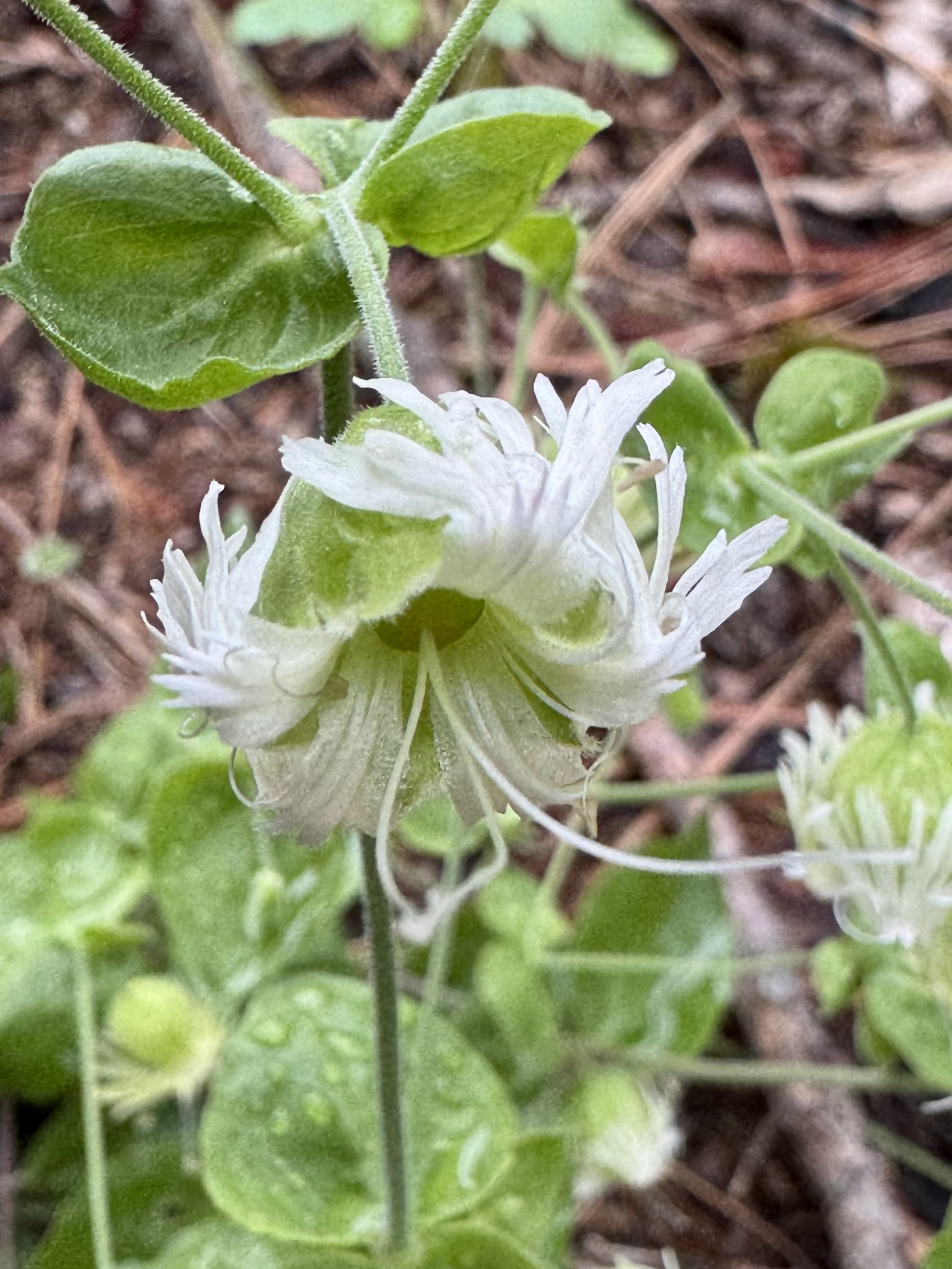
some of the many wildflowers we saw along the trail today:
Subscribe to:
Posts (Atom)