Showing posts with label Tonto National Forest. Show all posts

Saturday, March 8, 2025

Lower Salt River

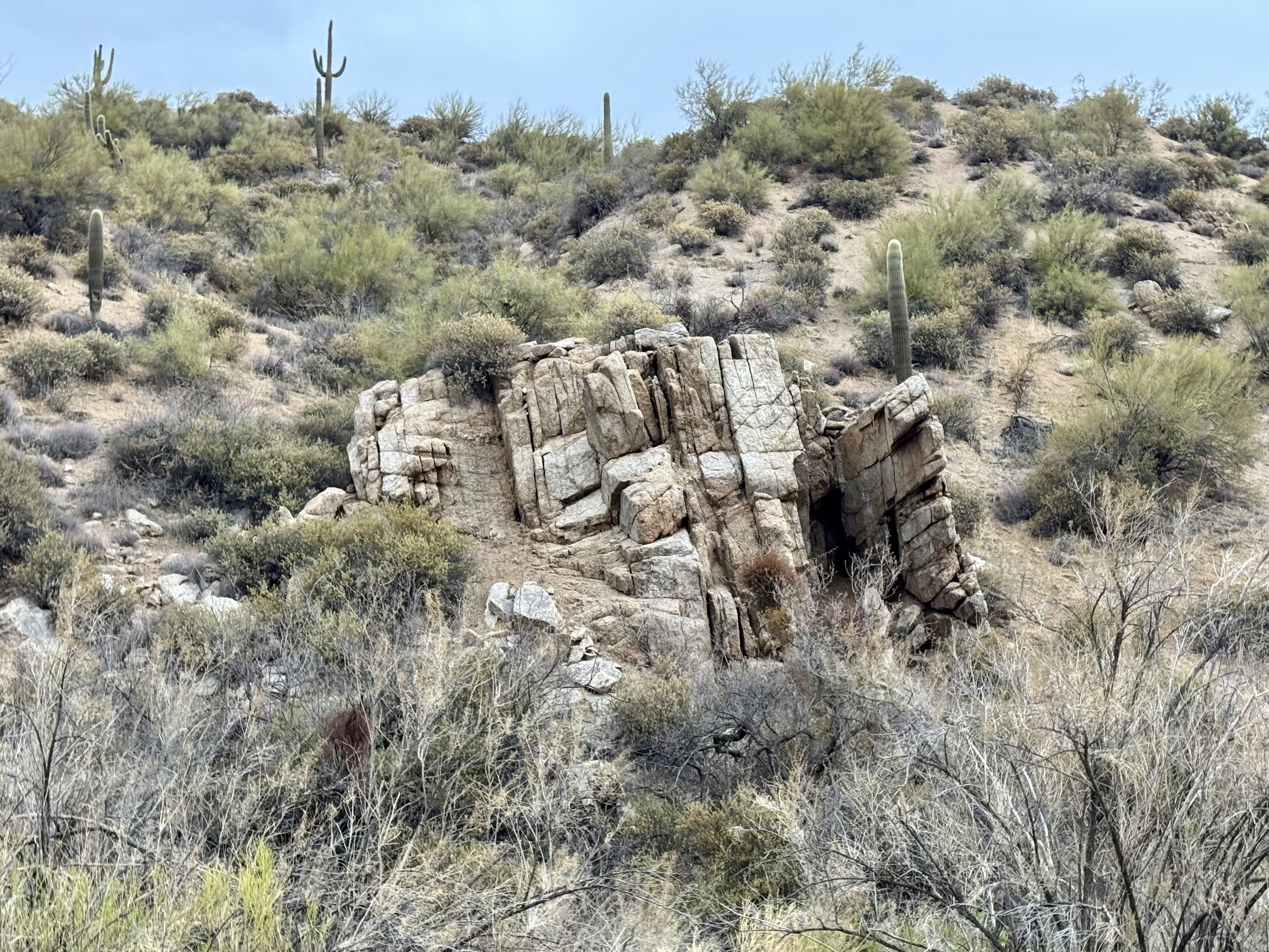
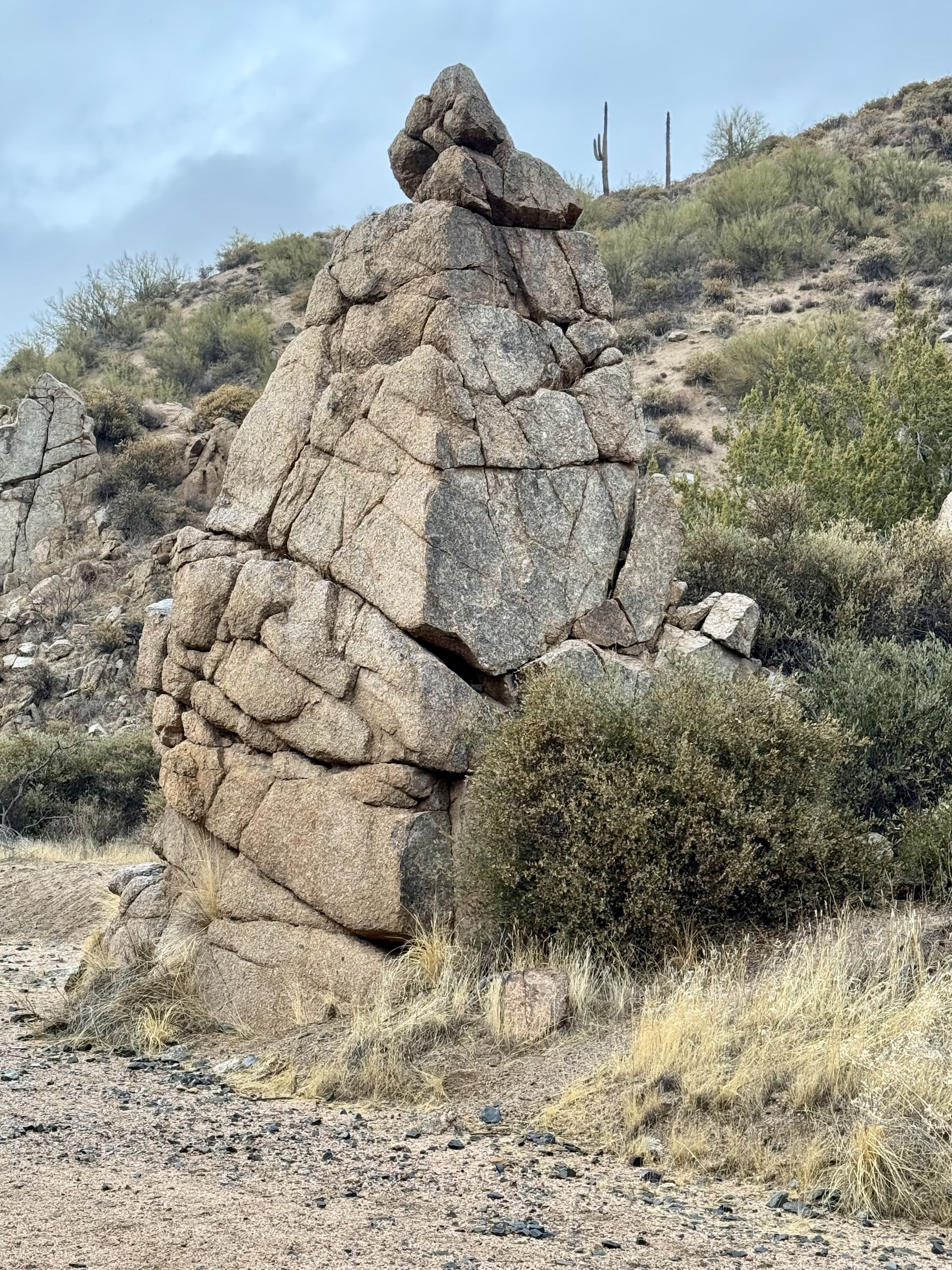
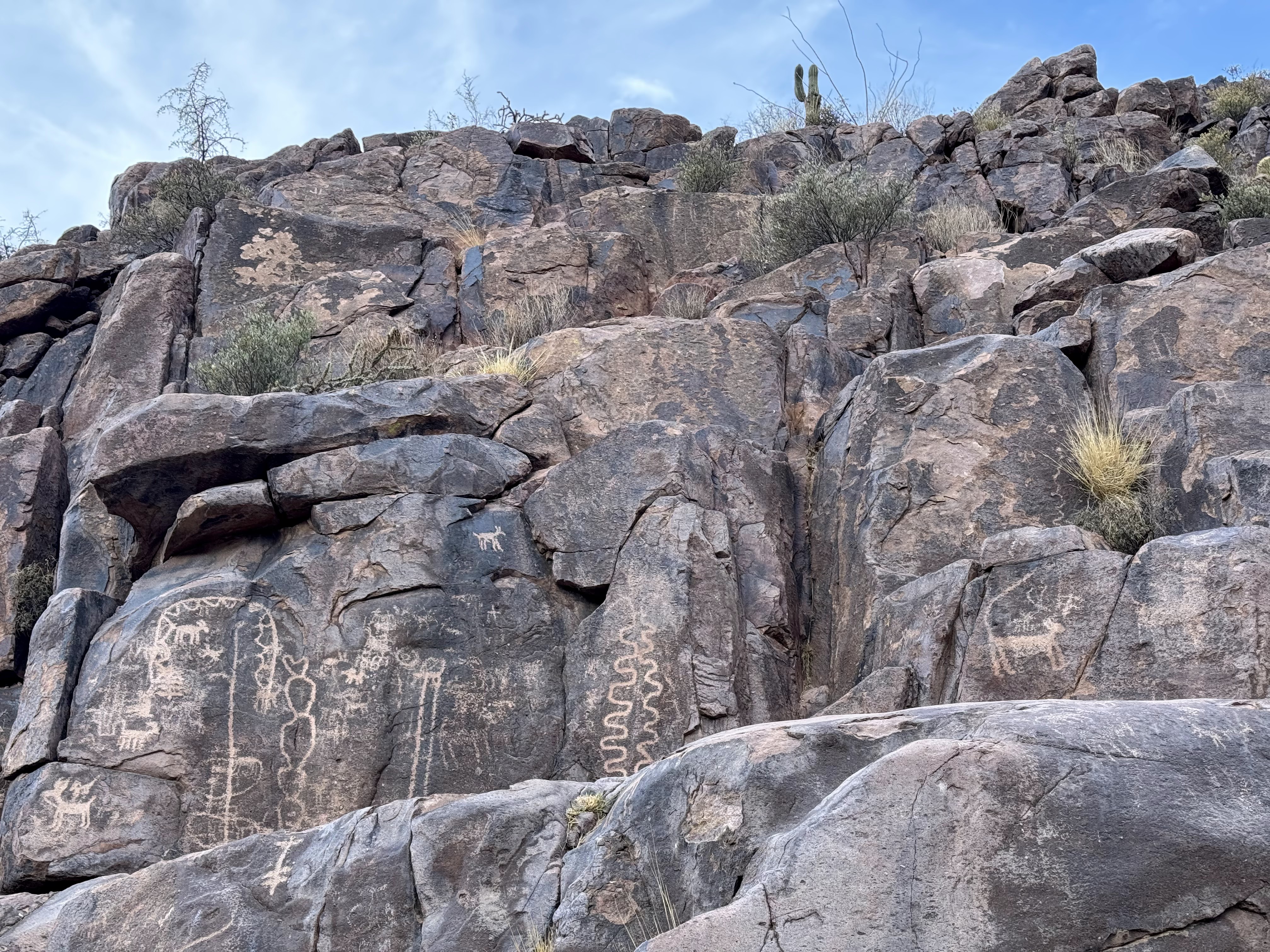
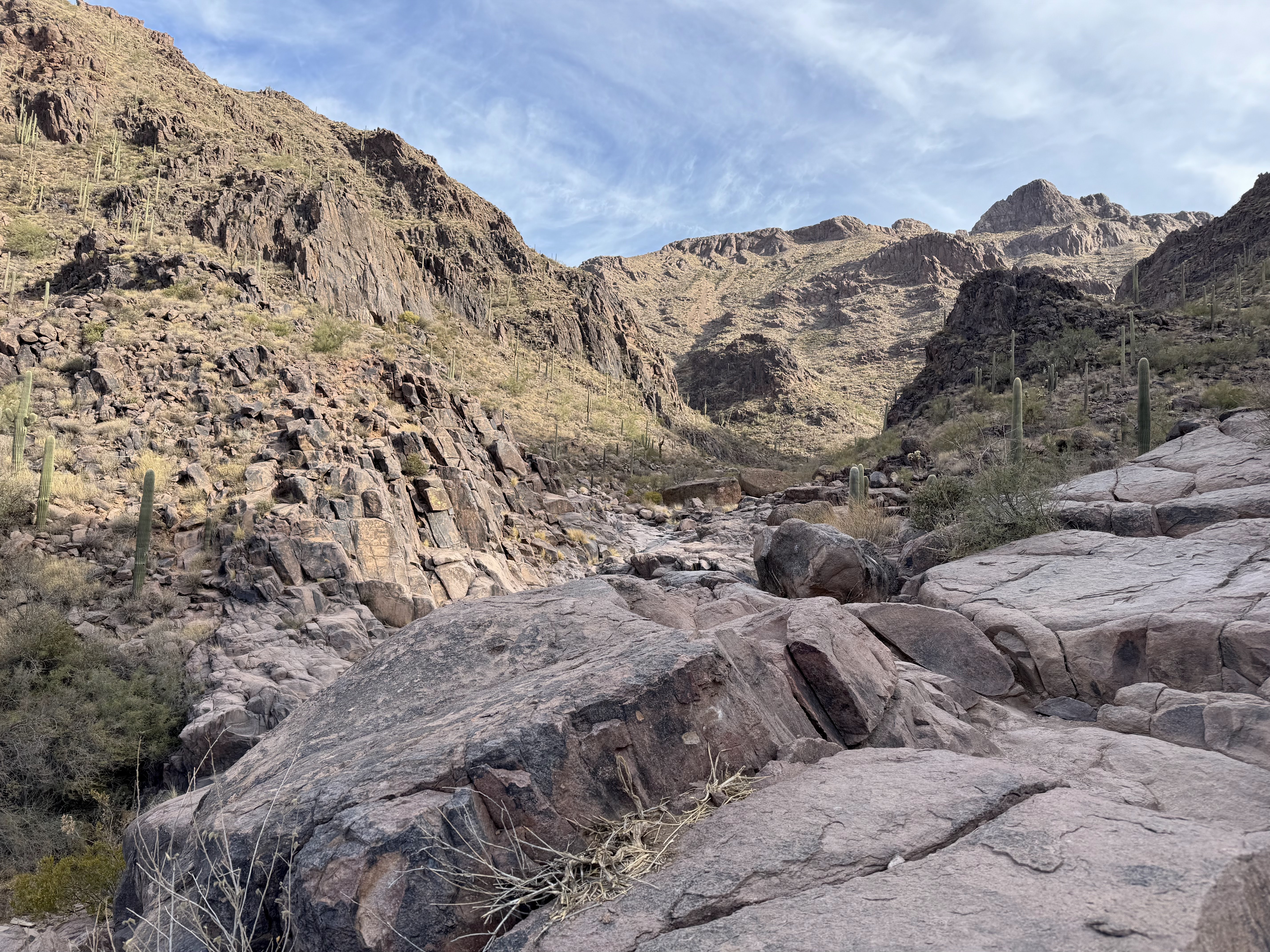
This morning, we drove to the Maricopa Trail Trailhead between the Salt River and Usery Mountain Regional Park and hiked up an unnamed trail along the Salt River to the Phon D Sutton Picnic Site and back for 4.8 miles. It rained about 1/2" here yesterday, so the trail was soft and not dusty. We started at sunrise.
We had views of Mount McDowell across the Salt River for most of the trail. We took some boot tracks down to the river for views also.
for a short way, we walked through thick arrowweed.
saguaros and Usery Mountain to the southeast
Four Peaks and another peak ot the northeast covered in fresh snow (zoom)

Thursday, March 6, 2025

Blue Wash to Camp Creek Falls

This morning we drove to the Blue Wash trailhead near Carefree AZ to hike the Blue Wash Trail to Camp Creek Falls, 2.7 miles round trip with 340 ft of overall elevation gain.View from the start of the trail heading south, in the far distance we could see Four Peaks and Weaver's Needle.
Looking down into Blue Wash, our trail. Lots of lovely rocks lining the wash.
About 1 mile down the trail, the way to Camp Creek Falls is to the left. We found a large arrow marker created out of rocks. There is also a metal post with an arrow showing the correct direction.
Camp Creek Falls
some views as we returned back up the trail

Wednesday, March 5, 2025

Hieroglyphic Trail

This morning we drove to the Lost Goldmine Trailhead in the Tonto National Forest to hike the Hieroglyphic Trail in the Superstition Wilderness. This is a 3 mile roundtrip with 470 ft of elevation gain to the petroglyphs and back.
The trail soon splits with Hieroglyphic Trail going to the left. Some views along the trail
The majority of the petroglyphs are on the left side.
zoom photos of some of the petroglyphs
The area beyond the petroglyphs
Looking back as we hike out, the rocks on the left have the most petroglyphs.