


THREE HIKING SISTERS, we love to hike together, but we don't all live in the same state. Sometimes it is only two of us, and sometimes we hike with others. This is a record of some of our hikes.
 We drove to the Ira Springs Trailhead off of exit 45 on I-90 to hike up towards Bandera Mountain to see the beargrass bloom, enjoy the views and other wildflowers. We hiked up to a large boulder filed just below the false summit on Bandera for our lunch break, 6.4 miles with 2.700 ft gain.
 We saw lots of bunchberries in bloom along with other wildflowers.
 Small waterfall along Denny Creek
 View of McClellan Butte from the bridge over Denny Creek
 a flower covered boulder along the trail
 views of peaks from further up the trail
 Until we reached the split with the Mason Lake Trail, we were hiking in the forest.
 some of the beargrass along the trail

 Once the trail splits from the Mason Lake Trail, it becomes very steep.
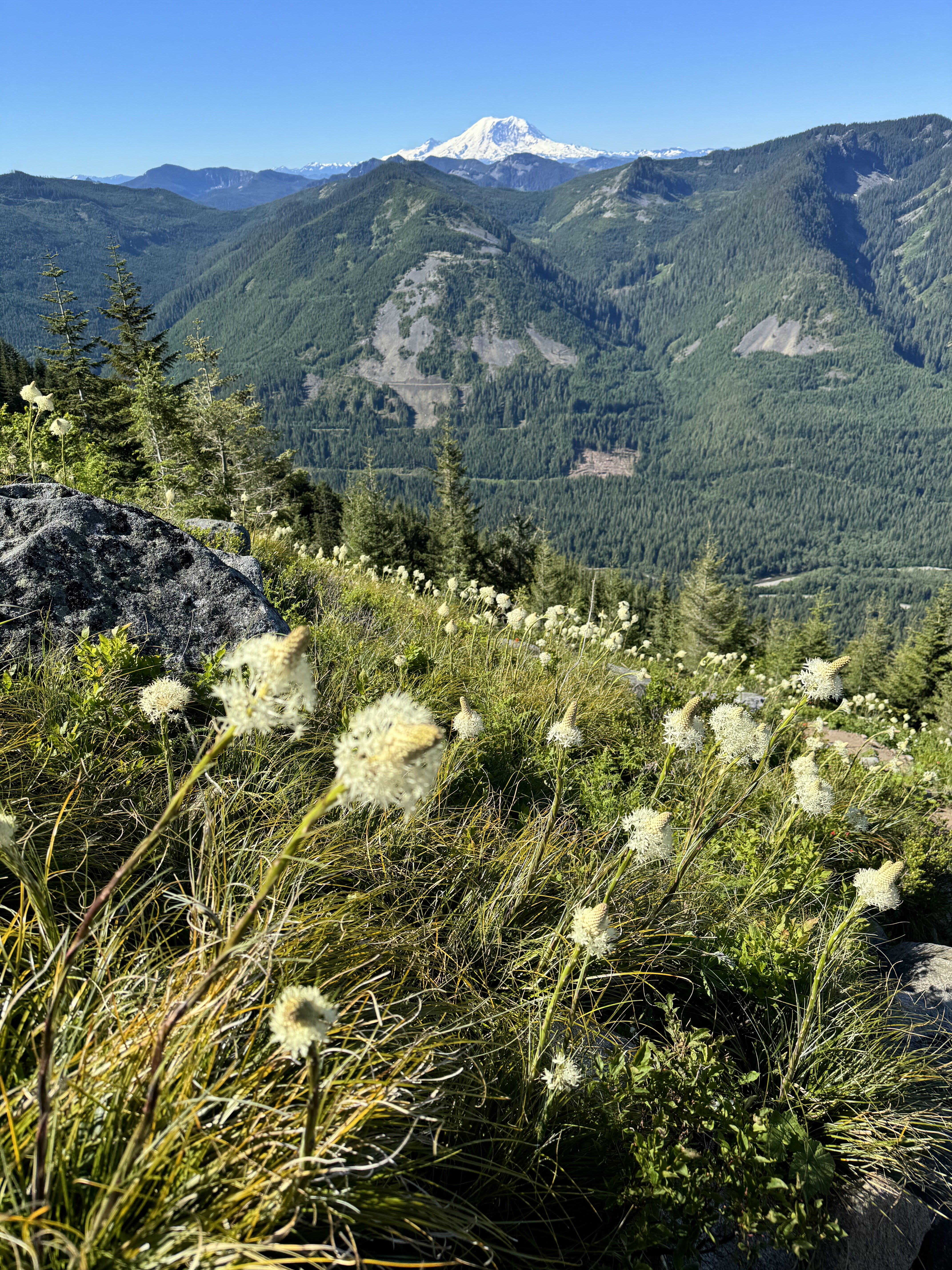
 View of Mt Rainier to the south:
 zoom of Mt Rainier


 Views from the boulder field where we took our lunch break and turned around.


