Showing posts with label Norse Peak Wilderness. Show all posts

Saturday, September 21, 2019

Norse Peak

 Hiked up to Norse Peak from the road to Crystal Mtn Ski Resort. Was interested to see this area after the 2017 Norse Fire. This hike is 10 miles round trip with 2,900 ft of gain.
 The lower part of the trail was not affected by the fire, here we saw a little fall color between the evergreens.
 Within a couple of miles, we entered the burn area, it was pretty extensive
 Looking at the slopes going up towards Norse Peak.
 Was surprised to see about a dozen lupine plants scattered through the trail with new blossoms on them this late in the season.

 Lots of dead blackened trees.
 As the trail gains elevation, we would see more and more of Mt Rainier to the south.
 There were pockets of living green trees throughout the burn area.


About 4 miles up the trail, we reached a ridge, with Norse Peak about a mile away (right of center), Pano looking north.
Wide angle view to the south as we hiked on the ridge: the Goat Rocks, Mt Adams and Mt Rainier to the south

Trail along the ridge, looking back towards the west.

 View of Basin Lake below Norse Peak


Pano from Norse Peak looking south:

 Pano from Norse Peak looking north:

 zoom of Mt Rainier from Norse Peak


zoom of Mt Adams and a hazy Mt Hood from Norse Peak


 zoom of Mount Stuart from Norse Peak
 zoom of Cascade Peaks and perhaps Glacier Peak in the far distance from Norse Peak


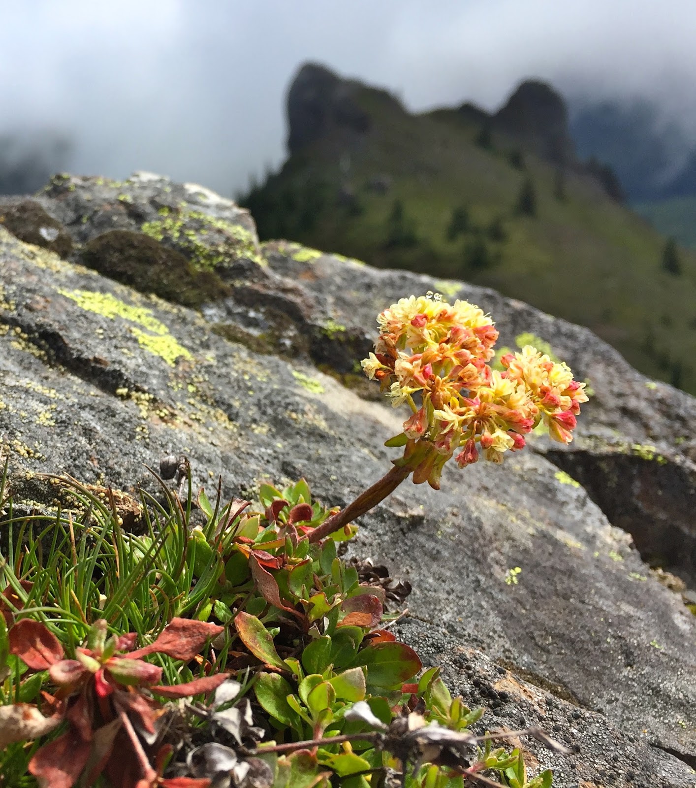
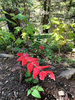
some of the flora seen along the trail today:


Saturday, July 23, 2016

Noble Knob via Dalles Ridge Trail

We hiked to Noble Knob via the Dalles Ridge Trail from FSR 42. From this trailhead it is a 5 mile rt hike with 600 ft of elevation gain to Noble Knob.  We had fun exploring the nearby area for a 6 mile hike and 900+ ft of elevation gain.  There were lots of wildflowers in bloom at the parking area at the beginning of the trail. 

Our hike started in the clouds and there was lots of dew covering the ground and the plants.


 For most of the ridge hike, the trail was in the forest. On the way towards Noble Knob, we could not tell if there were any views because of the low clouds.
 From the ridge, the trail drops down to an open area with a 3 way junction, the middle trail leads up to Noble Knob.
 When we reached the top of Noble Knob, we had a brief view of the very top of Mount Rainier before the clouds obstructed our view. We decided to spend some time wandering around the area.
Looking the opposite way, we could see Lake George below and interesting hill to explore.

 But first, we went to the other end of Noble Knob, here we had a view down to Twentyeight Mile Lake.
 Some nice large rock formations besides the wildflowers in the area.
 We followed a boot path over to the nearby hill.

 More large rocky areas


We could see down to Lost Lake.
Wide angle view from the other side of this hill, Noble Knob in the far background.


We then decided to hike back up to eat lunch atop Noble Knob and


we were rewarded with a great view of Mount Rainier!


 With the clouds lifted and views now to be seen, our hike back seemed like a new trail.
 trail from Noble Knob back up to Dalles Ridge
 We found there were views of Mount Rainier along the Dalles Ridge trail also.

With wildflowers in bloom, we saw lots of butterflies.


Some of the wildflowers in bloom and other flora we saw along the trail today: