Today we drove to Mumbo Pass in Shasta Trinity National Forest to hike south along the Pacific Crest Trail for a short distance to the side trail to the Seven Lakes Basin and Lake Helen. Overall we hiked. 5.8 miles round trip with 600 ft of up and down trail between 6.5000 - 6,800 ft. We met several northbound PCT hikers this morning. We started early so we could be off the trail before the possible thunderstorm rolled in late morning/afternoon.
 We saw quite a bit of phlox along the trail.
 Gumboot Lake to the north of the trail
 We would cross quite a few snow patches on this short section of the trail, most of them were fairly flat and easy to walk across.
 Mt Shasta in the morning
 Most of the trail was high on the ridge on nice dry trail.
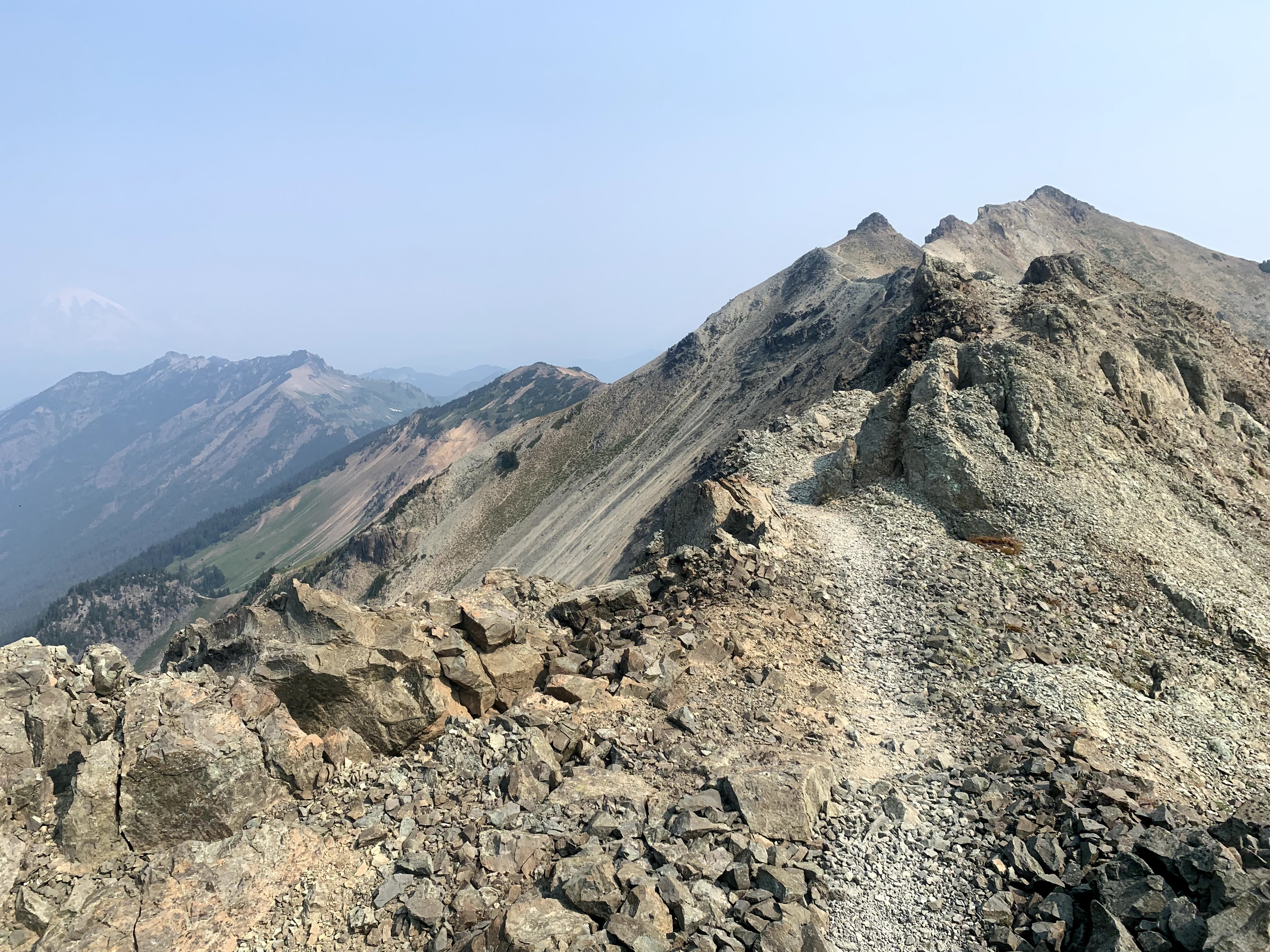
 We would pass several boulders.
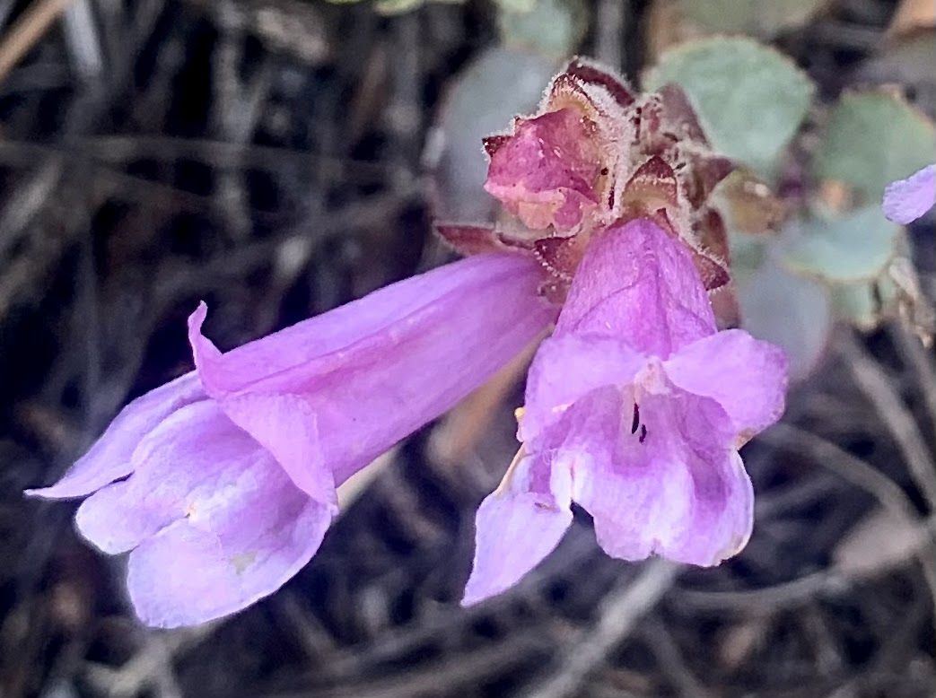
 There was lots of shorthorn steer's-head in bloom.
 We saw more snow patches on the west side the ridge than on the east side.
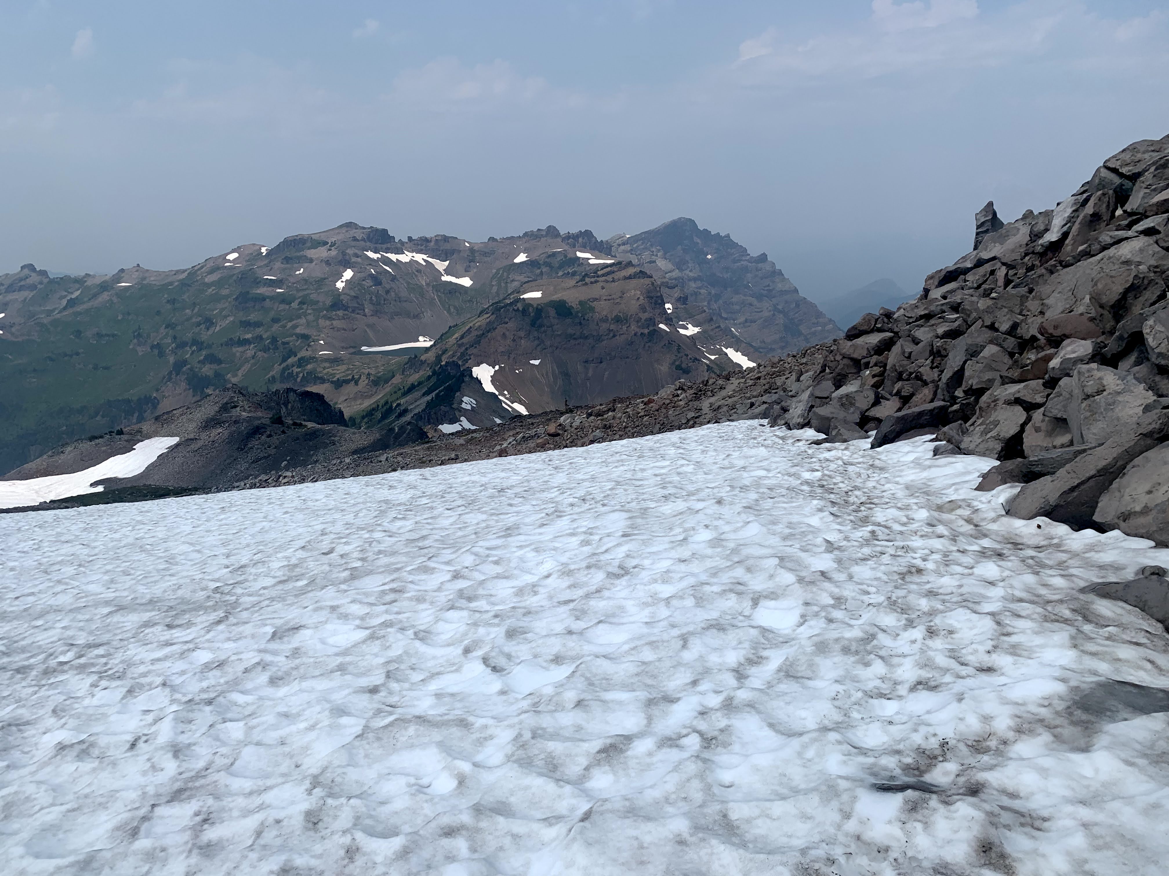
 Shortly before the turnoff to the Seven Lakes trail, we had a large steep snow patch to cross, we used micro spikes here.
 View looking down at Upper Seven Lake and Mt Shasta in the distance
 Lake Helen
 Back on the Seven Lakes Trail looking east, view of Boulder Peak with Echo Lake below to the left
 Back on the PCT looking northwest and the snow patch to cross.
 We found an "easier" way down the large snow patch on our way back.
 Looking west to the Mumbo Lakes and distant snow capped peaks.
 Storm clouds approaching
 Continuing north on the PCT, more storm clouds approaching.
 view of a cloudy Mt Shasta as we near the trailhead
 zoom of Mt Shasta
 One of the lizards we saw along the trail today, he has an interesting pattern on top of his head.
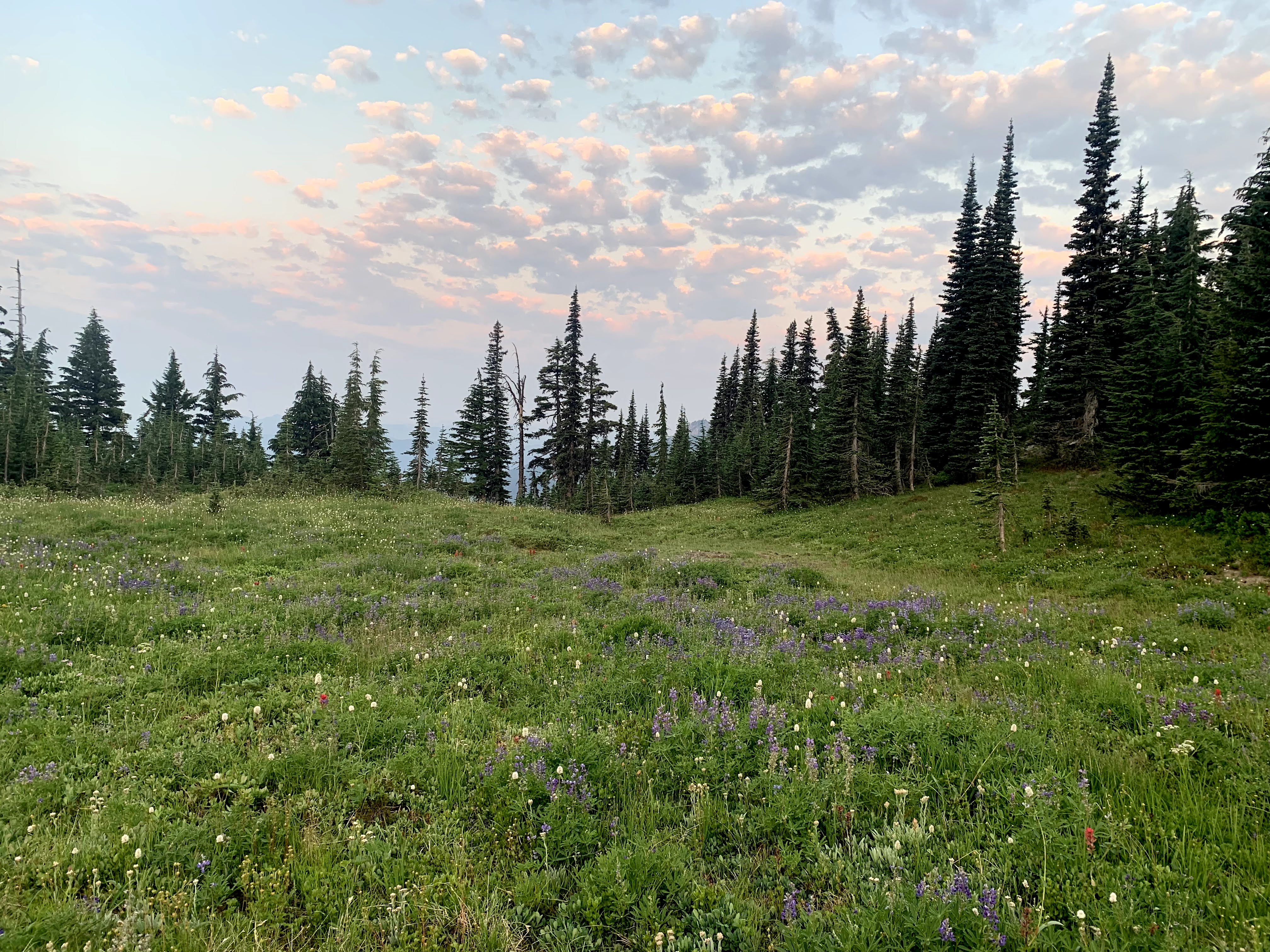
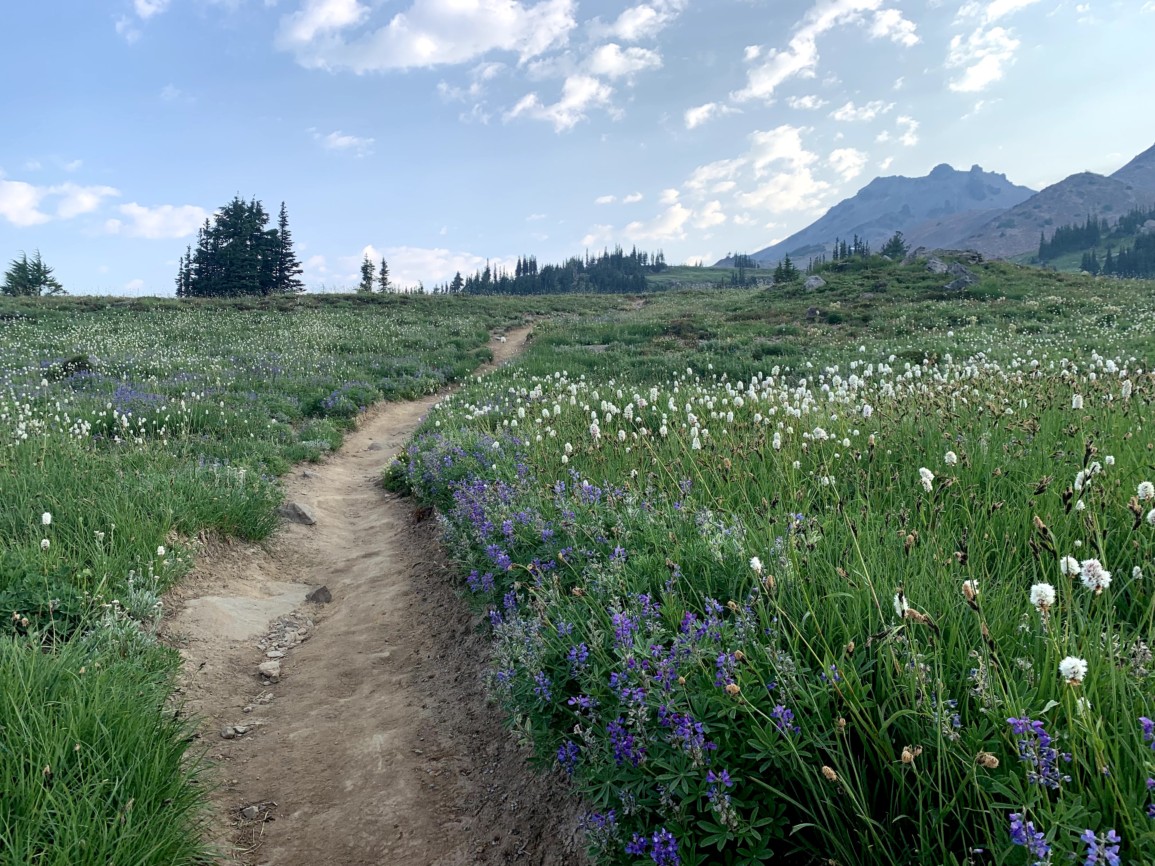
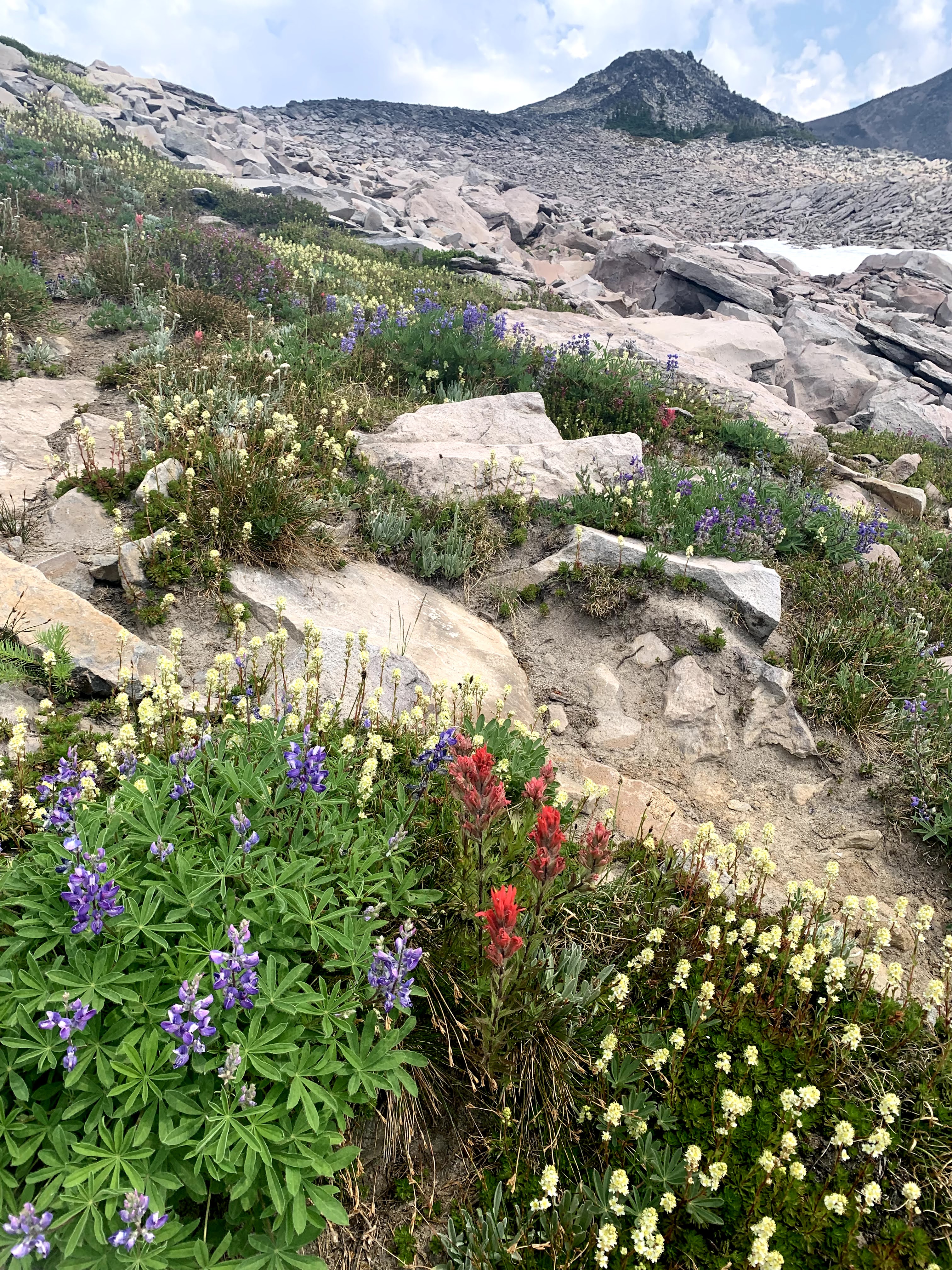
some of the wildflowers we saw along the trail this morning: