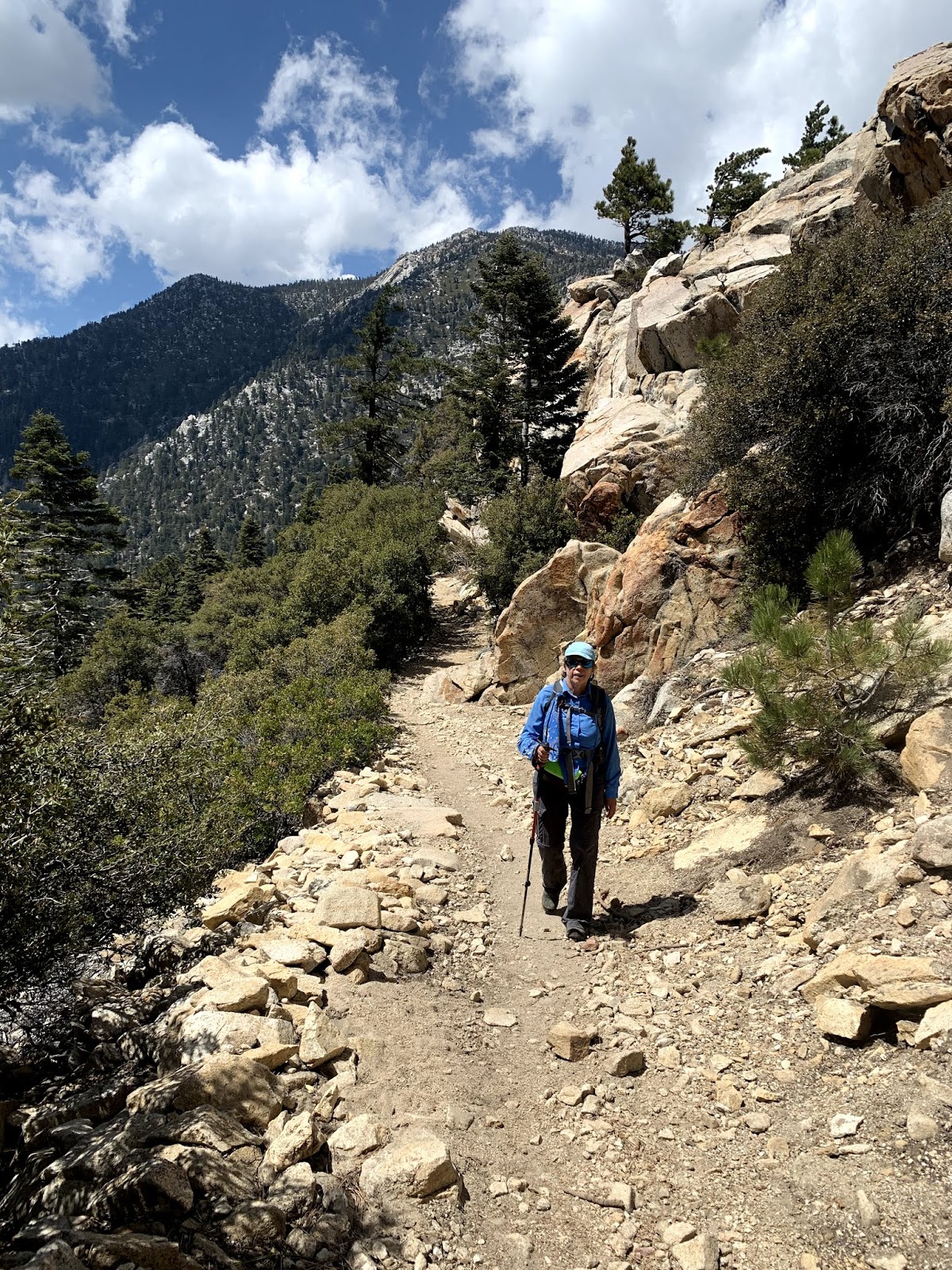
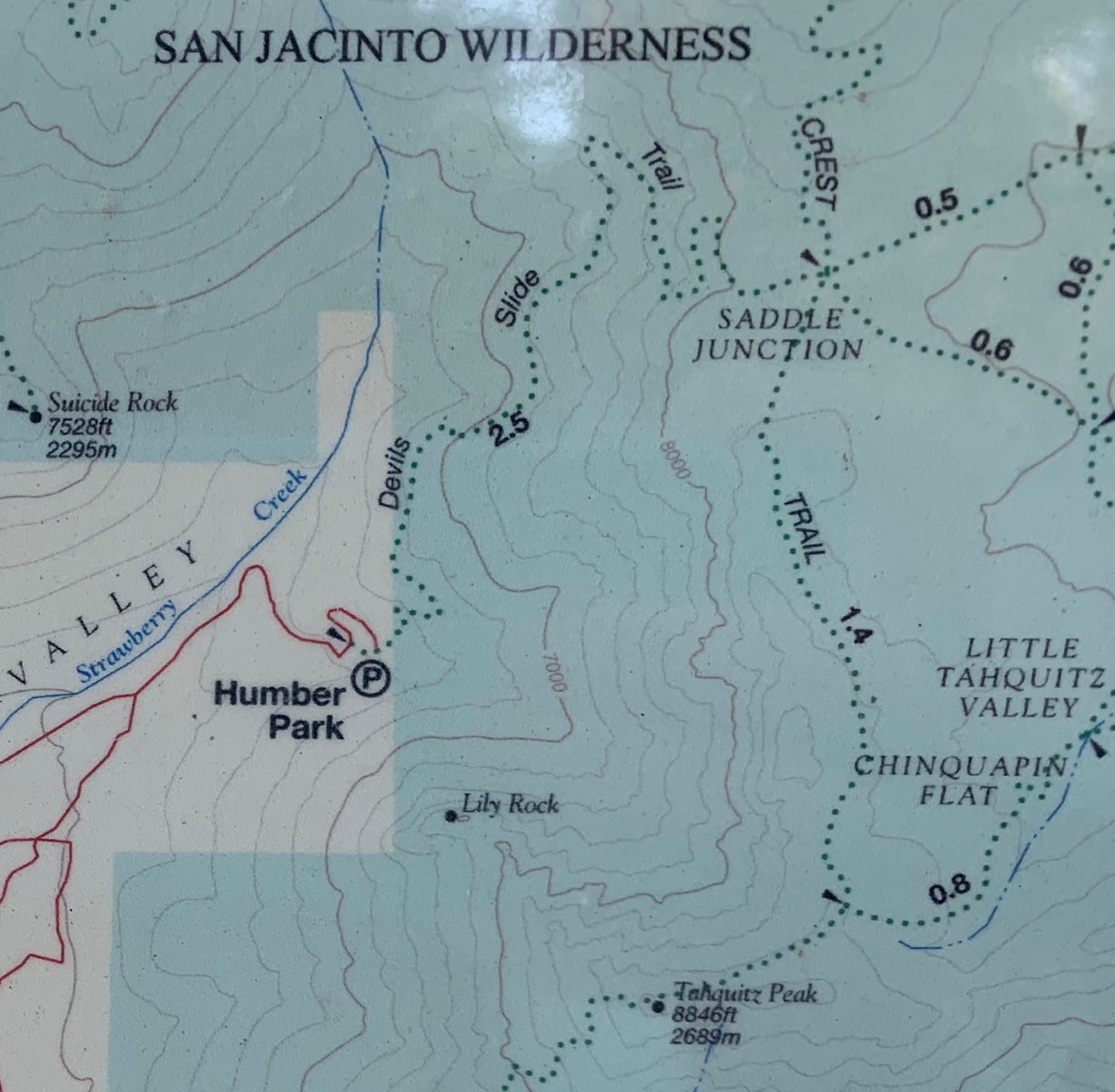
To avoid the heat in Cochella Valley, we headed up to the San Jacinto Wilderness to hike up to Tahquitz Peak via the Devil's Slide Trail. We didn't make it to the fire lookout and summit of Tahquitz Peak from this direction due to slick snow on a steep slope with exposure. We did head up the ridge on the north side of Tahquitz Peak up to 8,800 ft for great views.
Starting up the Devil's Slide /Trail
View of Lily Rock from early on the trail
Suicide rock a bit further up the trail
There were several streams across the trail today, from this one, we could see Suicide Rock
We appreciated the shade this trail provides.
Further up the trail, view from Lily Rock to Suicide Rock.
some lovely boulders
After 2.5 miles and 1,600 ft of gain, we reached the Saddle Junction and headed south along the Pacific Crest Trail for 1.4 miles.
This is a gentle section of the trail gaining only 400 ft over 1.4 miles There were many snowy patches to cross here
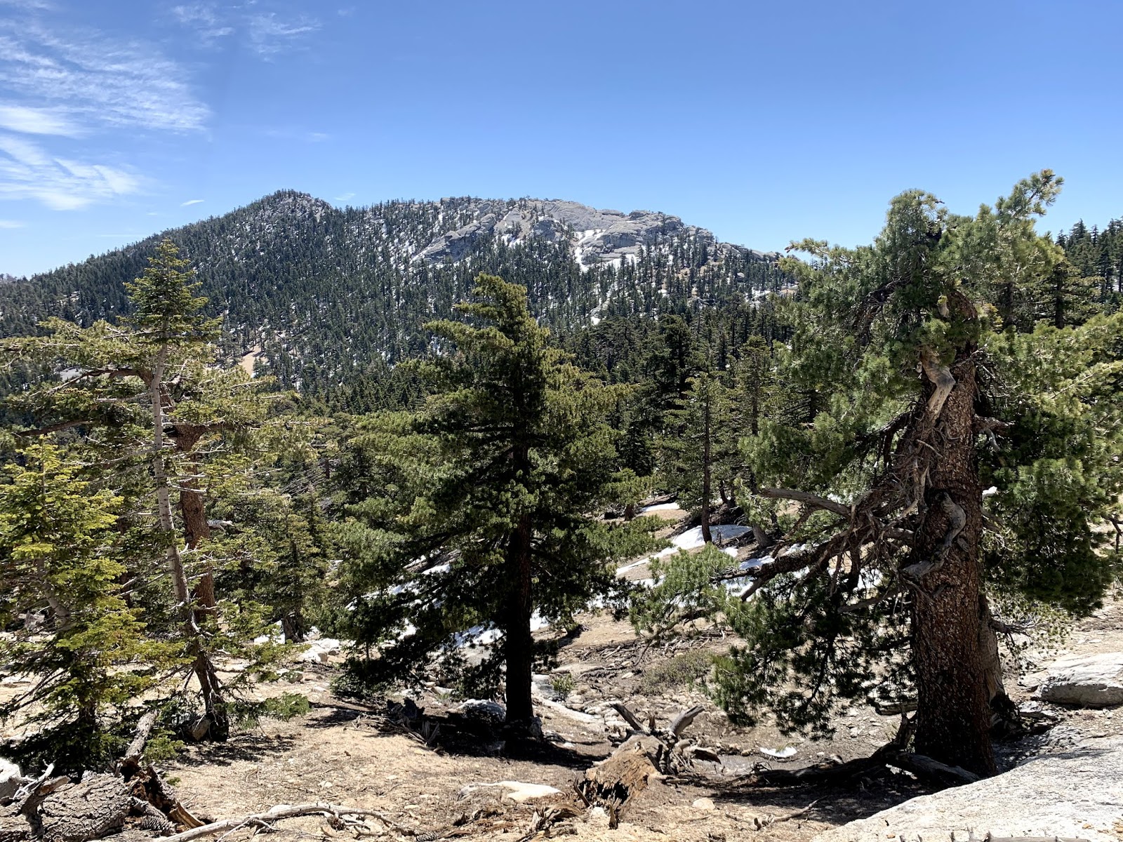
a nice view of Red Tahquitz Peak along this section of the trail.
At the turn off to Tahquitz Peak
We followed the "trail" for about 500 ft, evaluating the snow coverage.
There were no recent footsteps after this and we knew that soon the trail was going over an area with great exposure. Like other hikers this morning, we opted not to continue on to Tahquitz Peak.
Where the trail meets the PCT, we could see a route going up to the high ridge on the north east side of Tahquitz Peak was relatively free of snow. We headed up 400 ft to the top of this ridge.

Great boulders up on this ridge

We worked our way around the various rock formations towards Tahquitz Peak.
Soon we could see Tahquitz Peak and the fire lookout on top.

There was a nice spot along the middle of the ridge where we sat and enjoyed the views with our lunch.
Pano looking south:
Pano looking west: Mt San Jacinto in the distance
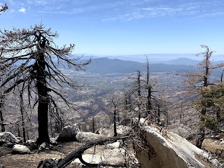
looking down toward Lake Helmet
There were several lizards running around on the ridge

Enjoying the views as we headed back down the trail.










 Great boulders up on this ridge
 We worked our way around the various rock formations towards Tahquitz Peak.

 There was a nice spot along the middle of the ridge where we sat and enjoyed the views with our lunch.


 looking down toward Lake Helmet