
 We drove to the Pine Springs parking area to do a loop hike up to Hunter Peak in Guadelupe Mountains National Park this morning. This was an 8.75 mile loop hike with 2,700 ft of gain. We were surprised that we didn't see any other hikers on this loop. The trail follows the Tejas Trail across the Delaware River Wash (dry) to the Foothills Trail, then Frijole Trail, this goes around the base of Hunter Peak (top not seen from the base).
 We saw a variety of cacti along the trail, here buckhorn.
 We would see lots of large boulders, and other rock formations along this route.
 We then took the Bear Canyon Trail up through the canyon, gaining about 2,000 ft in two miles.
 Lots of up and up, we appreciated the shade and a break from the wind on this windy day.
 Here the trail goes under a large leaning boulder.
 The canyon walls were interesting.
 About 3/4 of the way up, we believed we were seeing the top of Bear Canyon ahead of us.
On both sides of the loop trail, we saw large clumps of crystals in the trail.


 Near the top of Bear Canyon, looking down
 At the top of Bear Canyon, we went left on the Bowl Trail, entering the Guadelupe Mountains Wilderness. There were lots of trees here.
 As we went up the Hunter Trail (short spur trail off of the Bowl Trail) we had a great view of Guadalupe Mountain, the highest point in Texas.
 Top of Hunter Peak
 Benchmark on Hunter Peak:
Views from the top of Hunter Peak as I was sitting down eating lunch:
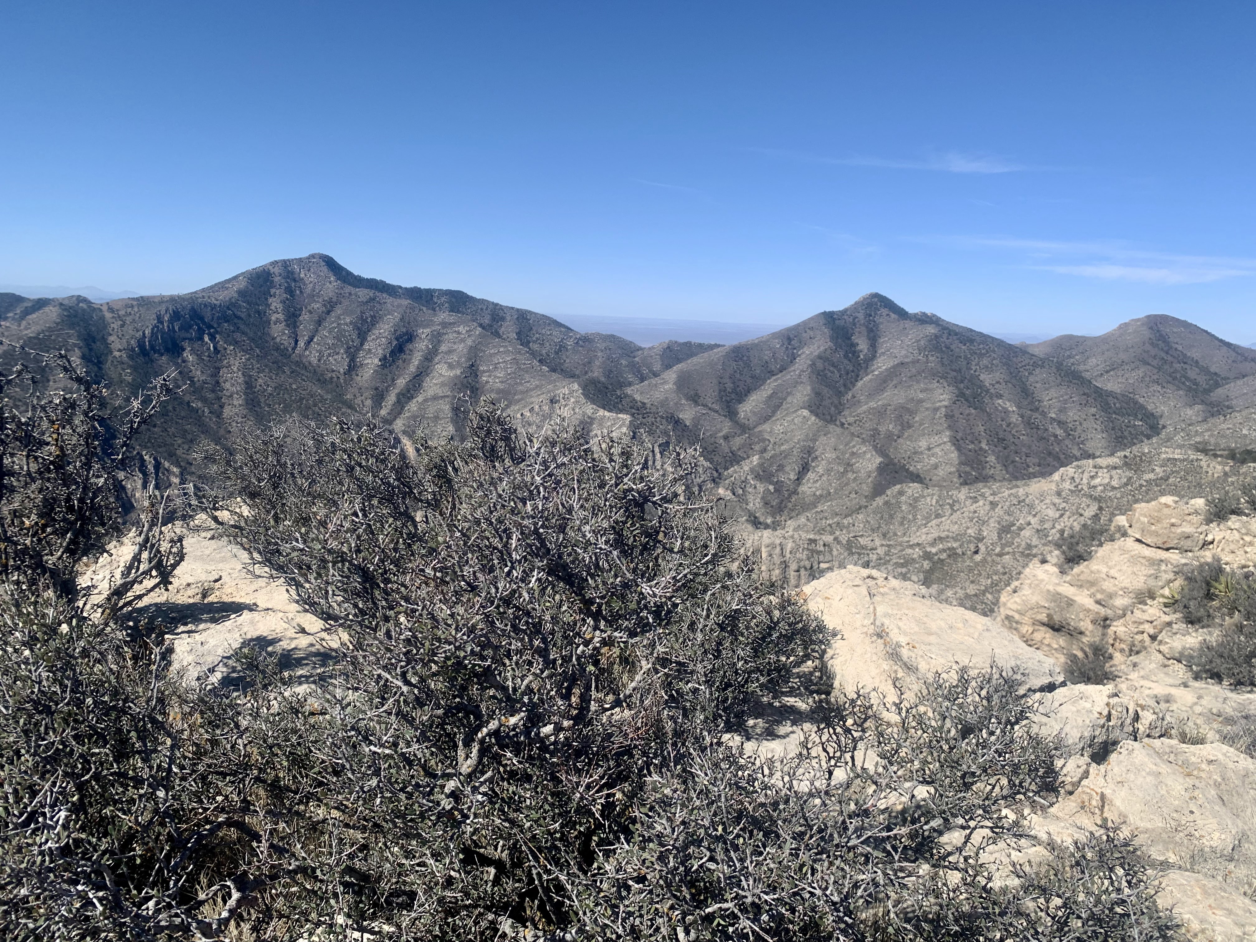


 We returned down the Hunter Peak spur trail,
 and continued along the Bowl Trail,
 until turning off down the Texas Trail.
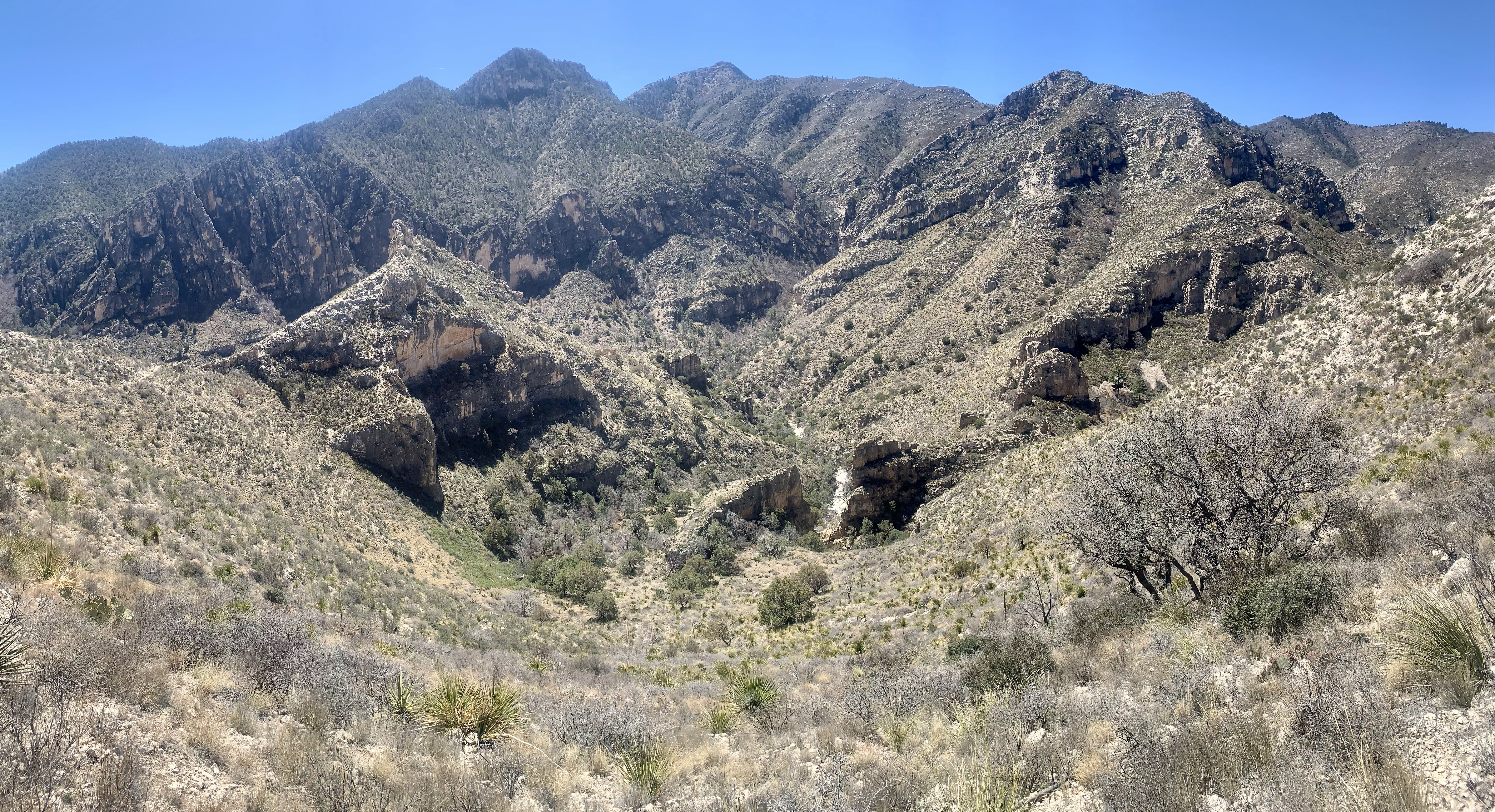
 Views as we went down and down the Texas Trail back to the trailhead;

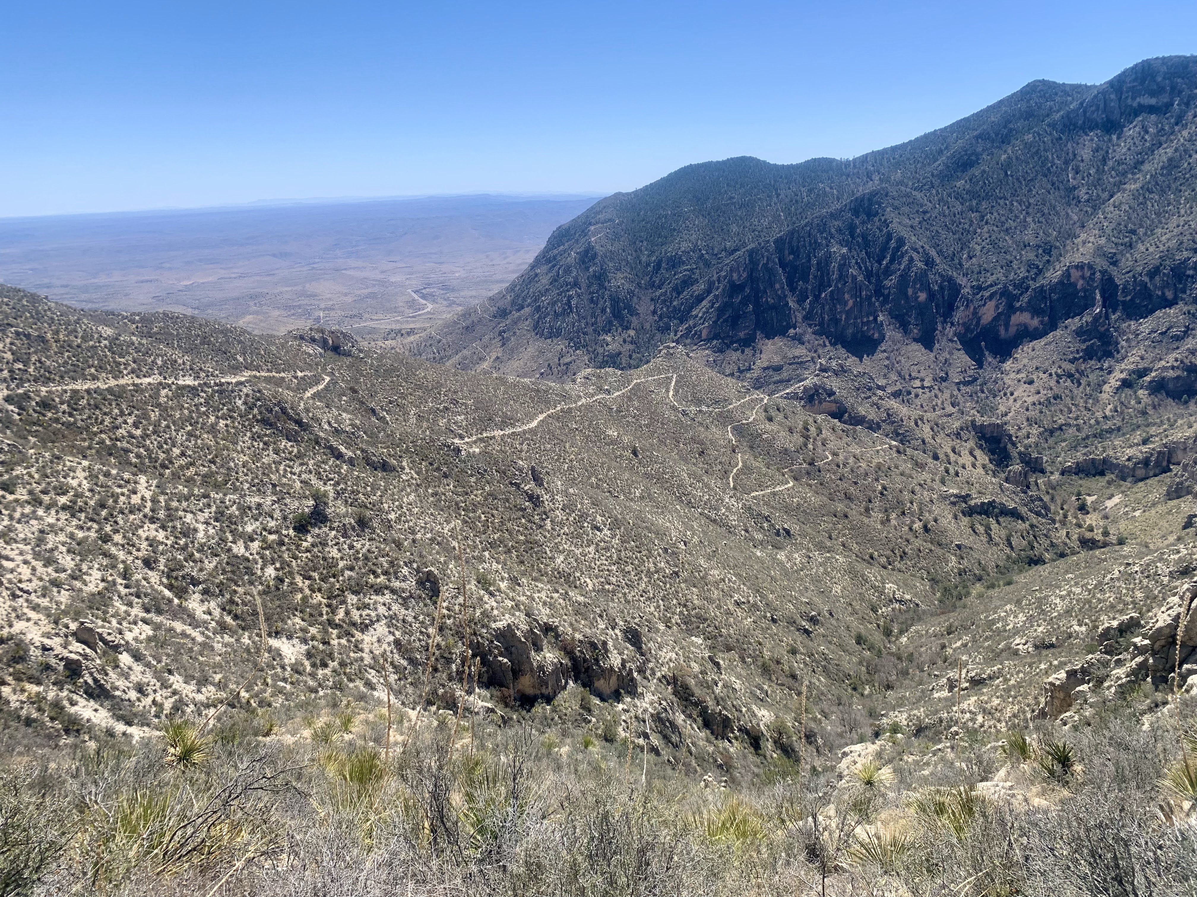


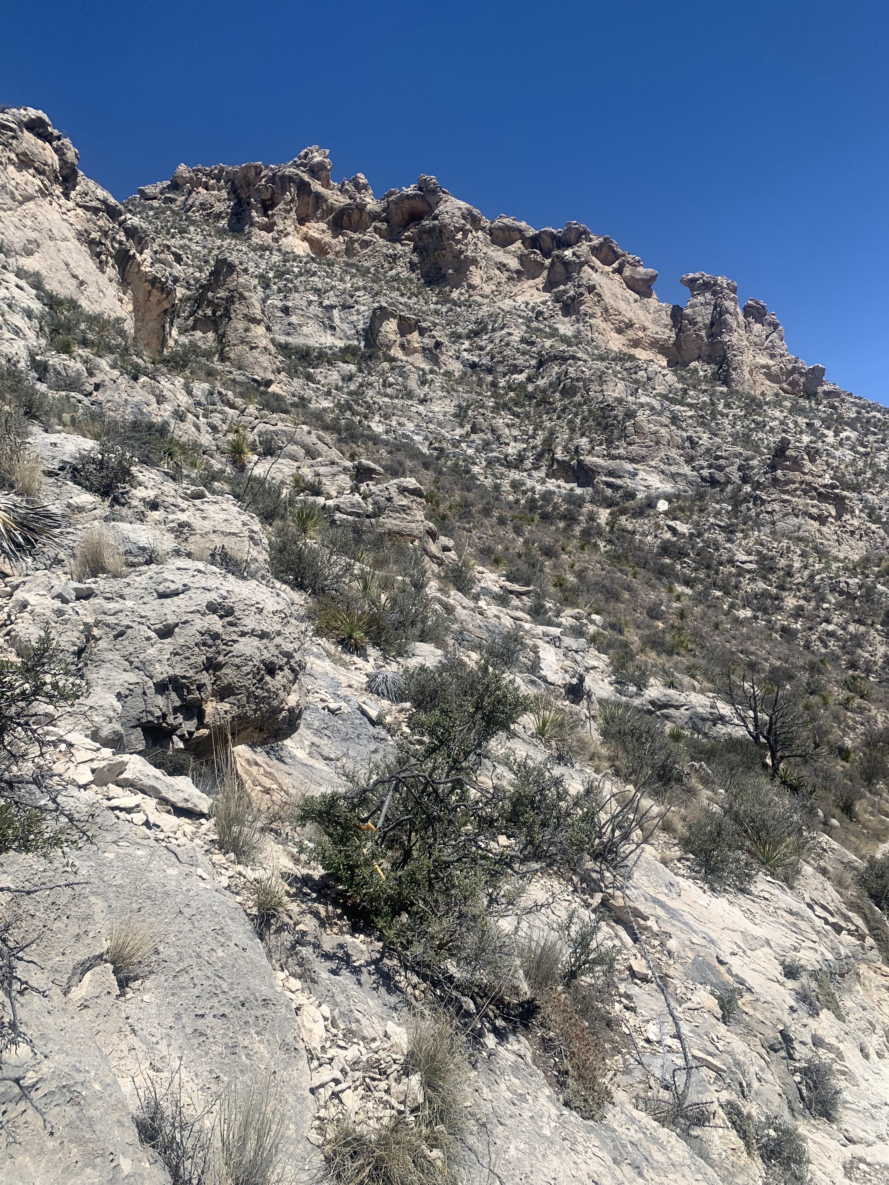
 This promontory near the trail has an arch along the side,
 zoom of Tejas Arch
 more views continuing down the Tejas Trail

some of the flora along the trail:


