Showing posts with label High Skyline Loop Trail. Show all posts
Showing posts with label High Skyline Loop Trail. Show all posts
Friday, September 12, 2025
High Skyline Loop
Drove up to Paradise at Mt Rainier National Park to hike the High Skyline Loop Trail. Started at the lower parking area at the Deadhorse Creek Traihead and went counterclockwise towards Myrtle Falls and Mazama Ridge, overall 6 miles and 1,785 ft of gain. Lovely day, staying abouve the clouds. Early view of Mt Rainier near the trailhead
View of Mt Rainier from Myrtle Falls
Edith Creek
View of some Tatoosh Peaks and a waterfall along the trail towards Mazama Ridge
A couple of small falls along the Paradise River and view of Mt Rainier on the trail up Mazama Ridge
Squirrel on rocks before a lovely view of Mt Rainier
Crossing the Paradise River as the trail continues up from Mazama Ridge
zoom of two of the many marmots seen along the trail continuing up
Views from the high point on the High Skyline Loop Trail, Tatoosh Peaks to the south, Mt Rainier to the north
View of Mt Rainier from the Pebble Creek Trail, which bypasses Panorama Point on the way down the otherside of the loop
View of Mt Rainier from down along the Deadhorse Creek Trail
As I continued down the Deadhorse Creek Trail, I saw another marmot, a grouse and butterflies
Although most of the meadows had gone to seed, there were still some wildflowers in bloom, along with fungi and berries:
Wednesday, September 18, 2024
Skyline Loop
 Drove up to Paradise at Mt Rainier National Park to do a shorten version of the High Skyline Loop Trail, this was 4.5 miles with 1,575 ft of gain. I went up over Alta Vista to the Skyline Trail and after crossing on the High Skyline Trail came down the Golden Gate Trail. As summer draws to a close, some of the huckleberry bushes were starting to turn red.
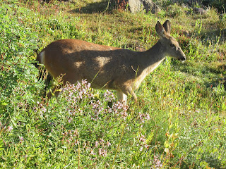
 Heading up the Alta Vista Trail, I saw 7 deer spread across both sides of the trail. There weren't any other people on this trail this morning.
 Overall, I had the majority of the trail to myself today, surprising for a very popular trail. I would come across other hikers now and then, not seeing crowds of people until I was at Edith Creek back near the start.
a view of the Tatoosh Range and the distant peaks to the south. The clouds were starting to rise up the side of Mt Rainier.
 Further down the trail, the view was very limited, but I was happy to see the three marmots sitting on these boulders.
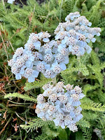
some of the flora seen along the trail today:
Subscribe to:
Posts (Atom)


