Showing posts with label lower south fork Skokomish River. Show all posts

Monday, May 1, 2023

Lower South Fork Skokomish River

I drove to the Trailhead for the Lower South Fork Skokomish River Trail, and then hiked 8 miles round trip with about 900 ft of overall gain. The trail goes for 10+ miles before joining the Upper South Fork Skokomish River Trail. The trail goes up 300+ ft over a ridge, before dropping down towards the river.
At the second switchback up from the trailhead is a short spur trail with this view looking down at the Skokomish River.
One of many creek crossings along the trail.
This is a lovely forest walk, with many trees, moss and ferns.

Another creek crossing where the water was going over a couple of the stepping stones.
Some lovely mossy deciduous trees along the trail.
The wooden bridge over this creek washed away (can be seen under the log on the right side of photo).

So I crossed the creek on this fallen tree.
small cascade on this creek

Best view I had of the South Fork of the Skokomish River today.

cluster of yellow violets beside the trail

Another creek crossing that required a little bit of balancing at the far end.

I had to duck under these downed trees to continue along the trail.

There are a few of these larger wooden bridges further down the trail.

At most of them, there is quite a bit of downed trees hiding the cascading creeks that tumble down the hill side.
The trail does not get very close to the river along the first four miles of the trail.


This bridge is where I decided to turn around today.

The creek here flows down a large boulder on its way under the bridge.
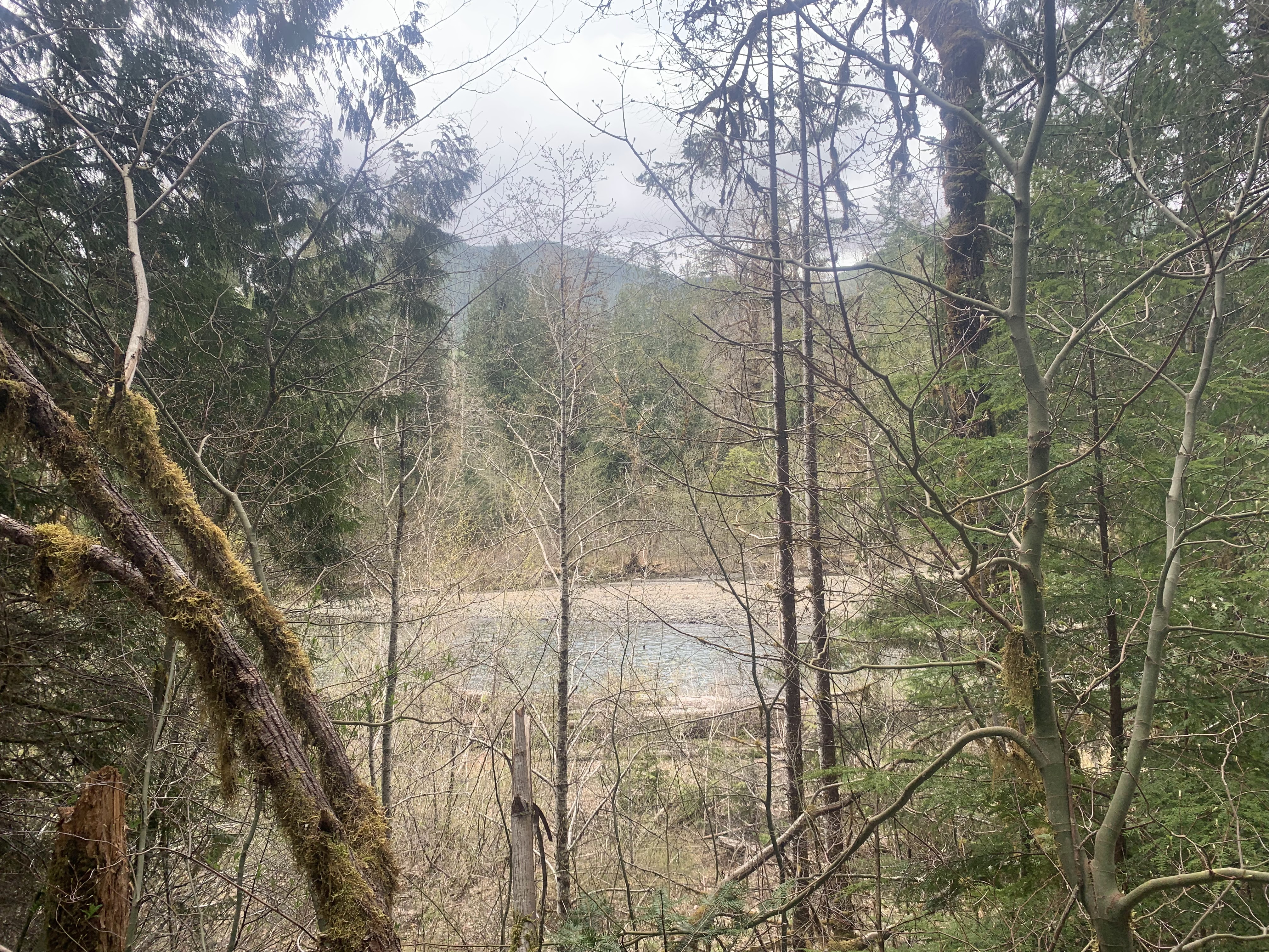
Some views of the river and trees as I returned back along the trail.


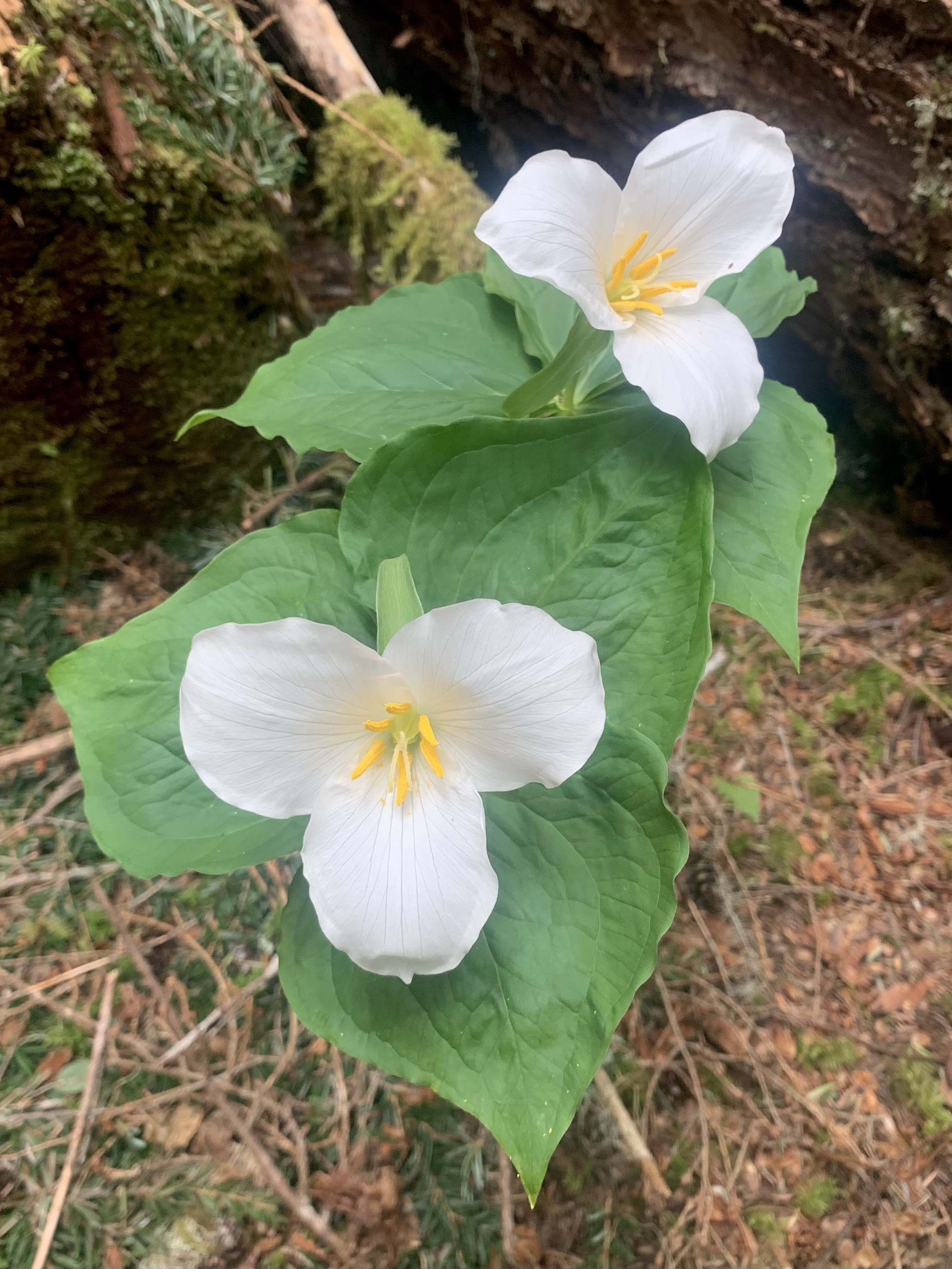
some of the wildflowers and fungi seen along the trail:


Wednesday, January 15, 2014

Lower South Fork Skokomish River Winter Hike Washington

An easy river hike in the southern Olympics off Hwy 101 nears Hoodsport in the Olympic National Forest.  We did get off trail at one spot and then decided to hike a short ways beyond Camp Comfort, so our hike was about 11 miles round trip with an 800 ft elevation gain over all.


 The hike begins with a 300 ft climb over a hill, then drops 300 ft to the Skokomish River. Most of the hike is in the forest near the river, but the river is seldom in view. There are several stream crossings. The larger streams have nice wooden bridges across them, take the time to stop and look as there were a variety of small waterfalls. There are also several small streams to cross on rocks.
We reached Camp Comfort after 4 miles. There were two trails, one said stock trail and the other had a picture saying no horses. I thought that was the "people" trail. But after about 1/2 mile, we realized it was a trail, not on the map that led to another forest road. We did pass by a nice small falls on the way up and back.
 
Back at Camp Comfort we followed the "stock" trail, which came out along the river for a nice view. The trail continues for another 6.3 miles to the Upper South Fork Trailhead, much further than we had time to walk to day. I had read that there was a nice bluff overlook another 3/4 of mile, so we continued along the trail.

The overlook was in a nice sunny spot with a great view. A nice place to stop and eat lunch.
 On the drive back, we saw Mount Rainier in the distance appearing to float in the sky. A beautiful day in mid January.