Showing posts with label Little Mashel Falls. Show all posts

Monday, November 16, 2020

Little Mashel Falls

Drove to Eatonville to hike to Lower and Middle Mashel Falls from the Bud Blanchard Trailhead.  This was a 3.7 mile round trip hike with 500 ft of gain. Only saw three other people as I was returning on the Bud Blanchard Trail.  The first 1.4 miles is along the Bud Blanchard Trail, it is fairly flat and does pass closely to people's homes.
The Bud Blanchard Trail soon crosses a bridge over Mashel River. view upstream
view downstream of Mashel River
The trail also goes by Smallwood Pond.
Another bridge goes over Little Mashel River, view upstream.
view downstream of the Little Mashel River from the bridge.
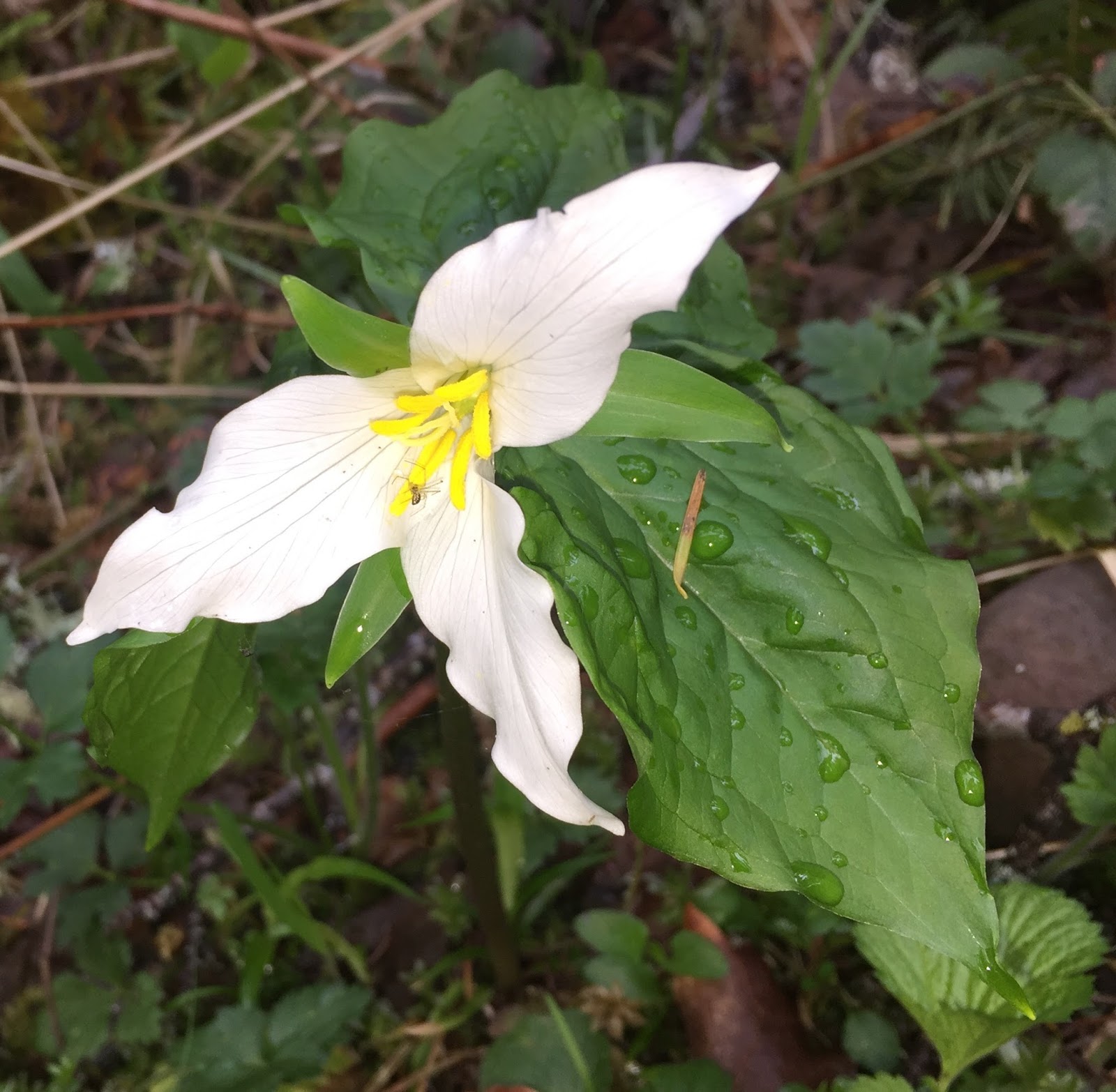
After 1.4 miles along the Bud Blanchard Trail, turn left on the Little Mashel Fall Trail. This trail goes uphill. Enjoyed walking through the forest.
There were occasional patches of fall color along the way.
Markers on a tree showed the spur trail to Lower Little Mashel Falls.

View of  Lower Little Mashel Falls from the trail above.
View of  Lower Little Mashel Falls from the riverside.
Spur trail going up from the lower falls.
The spur trail down to the Middle Falls is a short distance uphill from the spur trail to the Lower Falls.
View of Middle Little Mashel Falls from the trail.
The force from the spray off of Middle Little Mashel Falls was so strong, I could not get a photo in focus from in front of the falls by the riverside.
View of Middle Little Mashel Falls from off to the side.


Wednesday, January 24, 2018

Little Mashel Falls

Hiked up to Little Mashel Falls this morning to see how they looked with all the recent rain we've been having. About 5 miles round trip with 500 ft of elevation gain.

Decided to hike up via the Bud Blancher Trail in Eatonville. The first 1.4 miles are along a gravel travel that goes by some homes and a road.
 Shortly after crossing the second bridge, there is a sign marking the turn off to the Little Mashel Falls Trail.

Nice forest walk on the way to the falls


 View of Lower Little Mashel Falls from the
side trail heading down to the falls.
Wide angle shot of Lower Little Mashel Falls. The spray in the upper portion of the photo is from Middle Little Mashel Falls

 View of Middle Little Mashel Falls from the side trail leading down to the falls
There was so much water and spray from the middle falls, I had a difficult time getting a photo. We were soaked from the spray here.

 There is another side trail leading to where Little Mashel River drops down into Middle Little Mashel Falls.

We were short on time today, so we decided to skip the trail leading to the upper falls.

Friday, April 7, 2017

Little Mashel Falls

Did a morning hike to the Little Mashel Falls from the Pack Forest area. This was a 6 mile rt hike with about 600-800 ft of overall elevation gain.
We parked in the parking lot by the administration building and hiked up the forest road for about 1-1/2 miles, taking a left at a Y in the road.

 From this side road, there is a rock with FALLS painted in blue marking the trail to the waterfalls.
 This trail goes by a small pond.
We decided to hike down to the Lower Falls first, this side trail is marked with a sign.


Work on this section of the trail has recently been done. It was nice to walk on a new gravel trail instead of the mud.


 View of Lower Little Mashel Falls from the trail. we had some unexpected sunshine this morning.


Some newly built steps led down to the bottom of the falls.


These steps are a big improvement over the old, frayed, rusty cable that had gone down the muddy slope we used last fall.


Wide angle view of Lower Little Mashel Falls from the bottom of the falls.


We then returned to the main falls trail.
 It was nice to see some new blossoms.


The trail splits where there is a sign for the Upper Falls trail on the right. Although it is not marked, Middle Little Mashel Falls is on the spur trail to the left.
View of Middle Little Mashel Falls from the trail.

 View of Middle Little Mashel Falls from the base of the falls. The spray was very strong here. The rocks were very slippery, I was careful hiking down and up this section of the trail.
After returning to the trail towards the Upper Falls, we passed a sign saying we were leaving Pack Forest. Soon after this sign, we found a boot path down to Little Mashel Creek just above Middle Little Mashel Falls. Wide angle shot from this spot. The falls drop off just to the left of the large square rock.

 This large stump made me think of a forest troll.


There are some beautiful fern and moss covered rock walls.
 The timbleberries are in bloom,


 as are the trillium.

 Upper Little Mashel Falls lie across the river (which was too deep to ford today), part of the falls are hidden behind the trees.


 After this, the trail got quite muddy.
 But it was worth it to watch Little Mashel River cascading over these boulders a little further up the trail.

Sunday, November 20, 2016

Little Mashel Falls

We drove up on Hwy 7 just past Eatonville to Pack Forest to hike to the 3 waterfalls along the Little Mashel River.  The hike we did today was about 5.75 miles with 500 ft of overall elevation gain/loss.
From the parking lot near the Administration Building, we walked along Road 1000 northward to a Y in the road a little over 1-1/2 miles. Took a left at the Y (road 1070, but we did not see any signage). We walked a short ways until we saw "FALLS" written in blue on a rock, this is the Falls trail. Soon it reaches a junction, turn left at the junction.

After a short distance the trail reaches a Y. Go to the right for Middle Little Mashel Falls, but first, we went down to the left (there is a short wooden bridge on that trail).


This leads to the turn off on the right to Lower Little Mashel Falls.


We enjoyed the mossy forest walk.
Note: along along the route there are signs warning of the danger of slippery rocks and recent fatalities.
View of Lower Little Mashel Falls from the trail.
There is a steep, slippery, root filled boot path down to the bottom of the falls with a cable line in place.


Be careful, as the cable was very worn in places.

Wide angle view of Lower Little Mashel Falls (40 ft)


We returned back up the trail to the junction with the main falls trail. There was no signage for Middle Little Mashel Falls, but where the sign of the tree showed Upper Falls to the right, the trail to the left takes you down to Middle Falls.
This trail down to Middle Little Mashel Falls was the easiest to access.


View of Middle Little Mashel (or Bridal Veil) Falls from near the end of the trail. (Higher up the trail we saw a cable going down a very steep section to the falls, but there is no need to take that way down)
The trail continued down to the base of the falls, it was slippery in the mud, but not as steep as the path down to the Lower Falls.

View of of Middle Little Mashel (or Bridal Veil) Falls from the base of the falls (120 ft), the spray was very strong today.


We returned to the falls trail to hike up to the Upper Falls, this portion of the trail was narrow and eroding in places. It did not appear as well trodden.
Shortly downstream from the Upper Falls, when Little Mashel River is high,  water spills over before the falls creating another fall. This was across the river, which was too high for us to easily cross today.


zoom of this spillage fall
Shortly after this, the trail had eroded enough where we needed to bushwhack to reach a good view of the Upper Falls.

Upper Little Mashel (or Tom Tom) Falls (25 ft)

We saw a variety of fungi and some flowers along the trail today: