After our hike to Shi Shi Beach, we drove up to the NW corner of the Makah Indian Reservation to walk out to Cape Flattery. This is the uttermost NW corner of the continental US. It is a short 1.5 mile walk.
Part of the trail is a nice cedar boardwalk,
other sections are dirt and water.

There are several view points along each side of the walk, looking both southward:
and northward:

At the end of the trail is a nice platform overlooking Tatoosh Island.
Pano from the platform at the end of Cape Flattery

There was lots of large kelp in the ocean today
More views from Cape Flattery
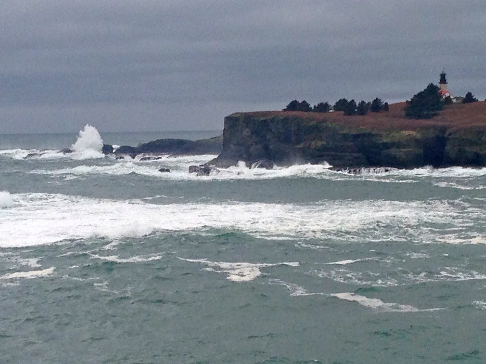
some large waves crashing near Tatoosh Island
some interesting trees along the trail

 This afternoon, I drove out on the Makah Indian Reservation to hike out to Cape Flattery, the northwestern most point in the contiguous US. This trail is 1.5 miles round trip with 200 ft loss/gain. The trail descends in the beautiful forest.
 From a view platform looking north from Cape Flattery, in the far distance is Vancouver Island, Canada.
 view to the north from the end of Cape Flattery
 view to the south from the tip of Cape Flattery
  view to the west: Tatoosh Island
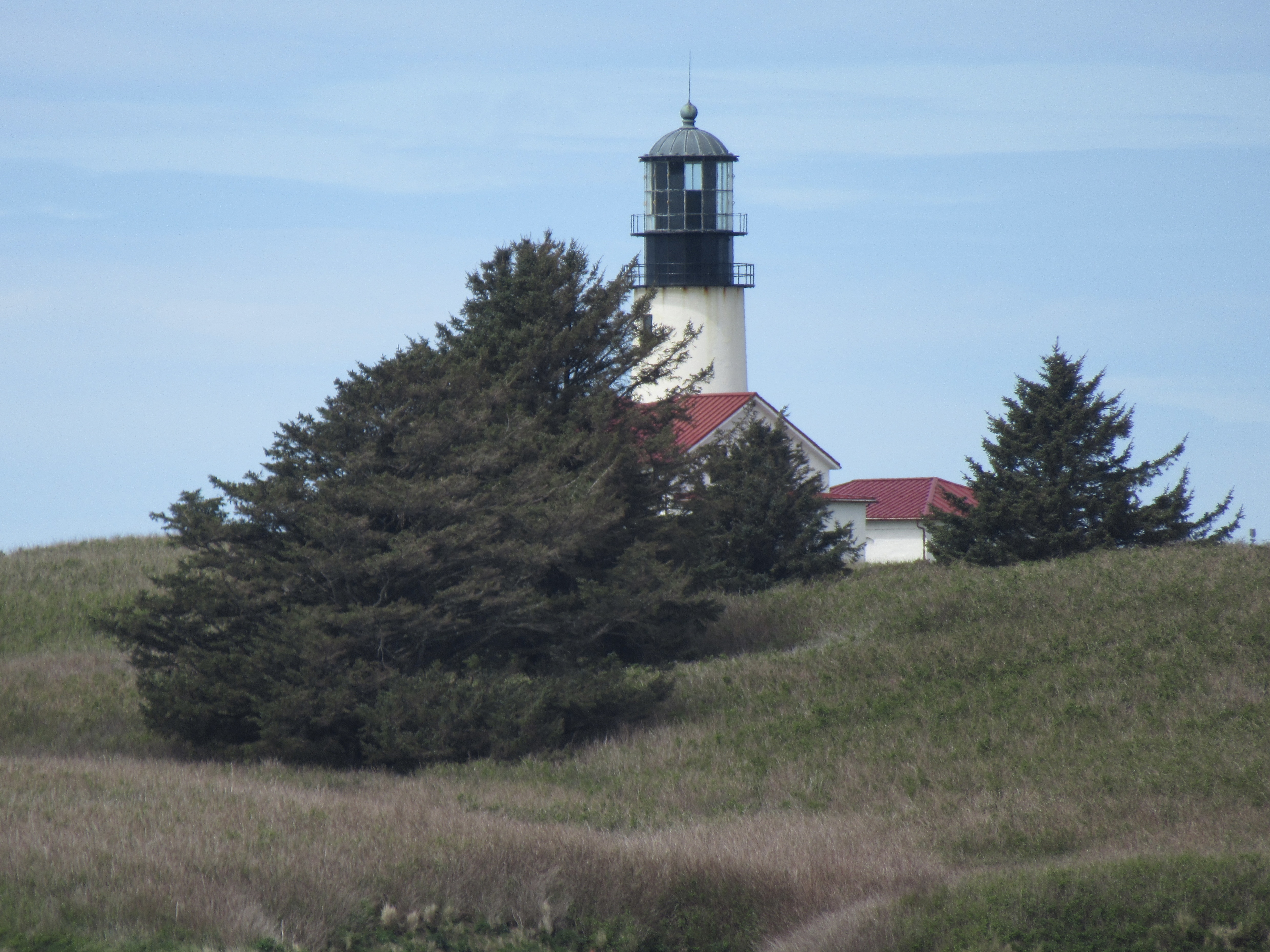 zoom of the lighthouse on Tatoosh Island
 From the cape we could hear the sea lions barking off on this rock to the north of Tatoosh Island. (zoom)
 I spent about an hour at the cape, enjoying the view, watching sea lions (zoom) swim below and a variety of shore birds.
 pigeon guillemot (zoom)
 from a viewpoint along the trail looking though the trees to the southwest


