
Drove out to the south end of Olympic National Forest to hike up Mount Rose in the Mount Skokomish Wilderness, 5.8 miles round trip with 3,500 ft of gain. I only saw 3 other hikers today and that was when I was more than 1/2 way back down the trail.
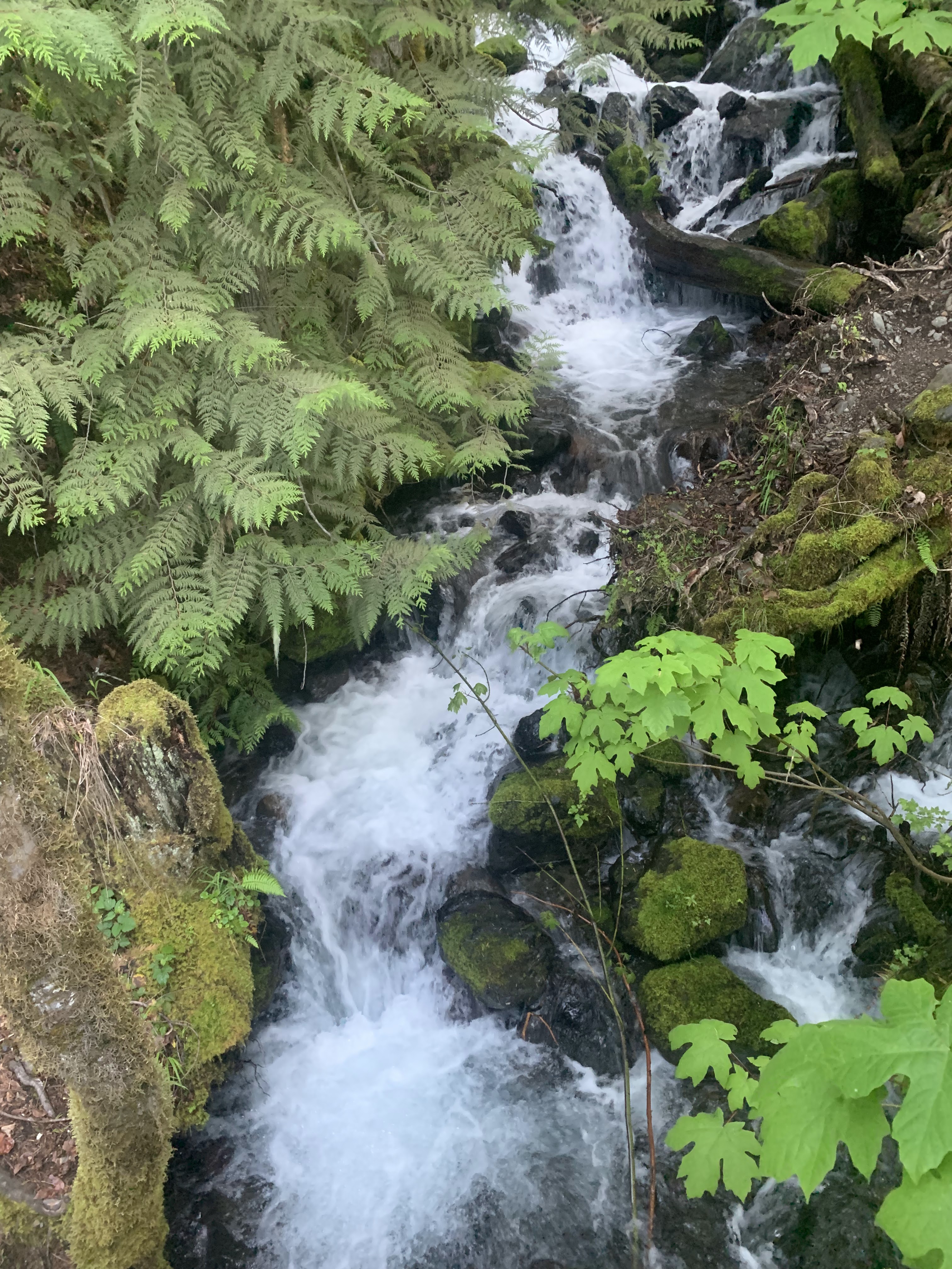 Cascading creek at the bridge crossing near the beginning of the trail.
 This trail is steep all the way up through the woods. There were several small creeks across and down the trail from snow melt. This stream was flowing over the log bridge.
 There were several large snow fields around 3,800 ft to cross. the snow was fairly well consolidated.
The steep section of the trail up to the top was snow free.
 Paintbrush was in bloom near the top of the trail.
 view of Mt Elinor to the east
 view down to Lake Cushman and Hood Canal to the south
 a new summit sign
Pano to the west from the summit of Mount Rose


I was able to protect my lunch from the gray jays, that always seem to gather when food is around.
some of the wildflowers and fungi along the trail today:


