We drove out to the Teanaways to hike the Stafford Creek Trail up to Navaho Pass. We continued up beyond the pass a short ways for an 11.5 mile round trip hike with 3,200 ft of elevation gain. We did not see any other hikers on our way up the trail or while we were at the Pass. On our way back down, we me 8 backpackers and 3 day hikers. Very serene day in the mountains.
 We saw quite a few of the early wildflowers. Near the trailhead where lots of arnica in bloom.
 The lupine was mostly along the lower portions of this trail.
 Across Stafford Creek, we saw what looked like an old avalanche.
 We had some view of nearby peaks and ridges through the trees.
 There was lots of water in Stafford Creek, and there were many small creeks from snow melt across the trail.
 There were some snow patches to cross in the meadow below Navaho Pass.
 View of Earl Peak across the meadow. Glacier lilies in bloom in the meadow.
 View of the last bit of trail up to Navaho Pass and Navaho Peak.
 View of Earl Peak going up to the Pass.
 View of some of the Enchantment Peaks from Navaho Pass.
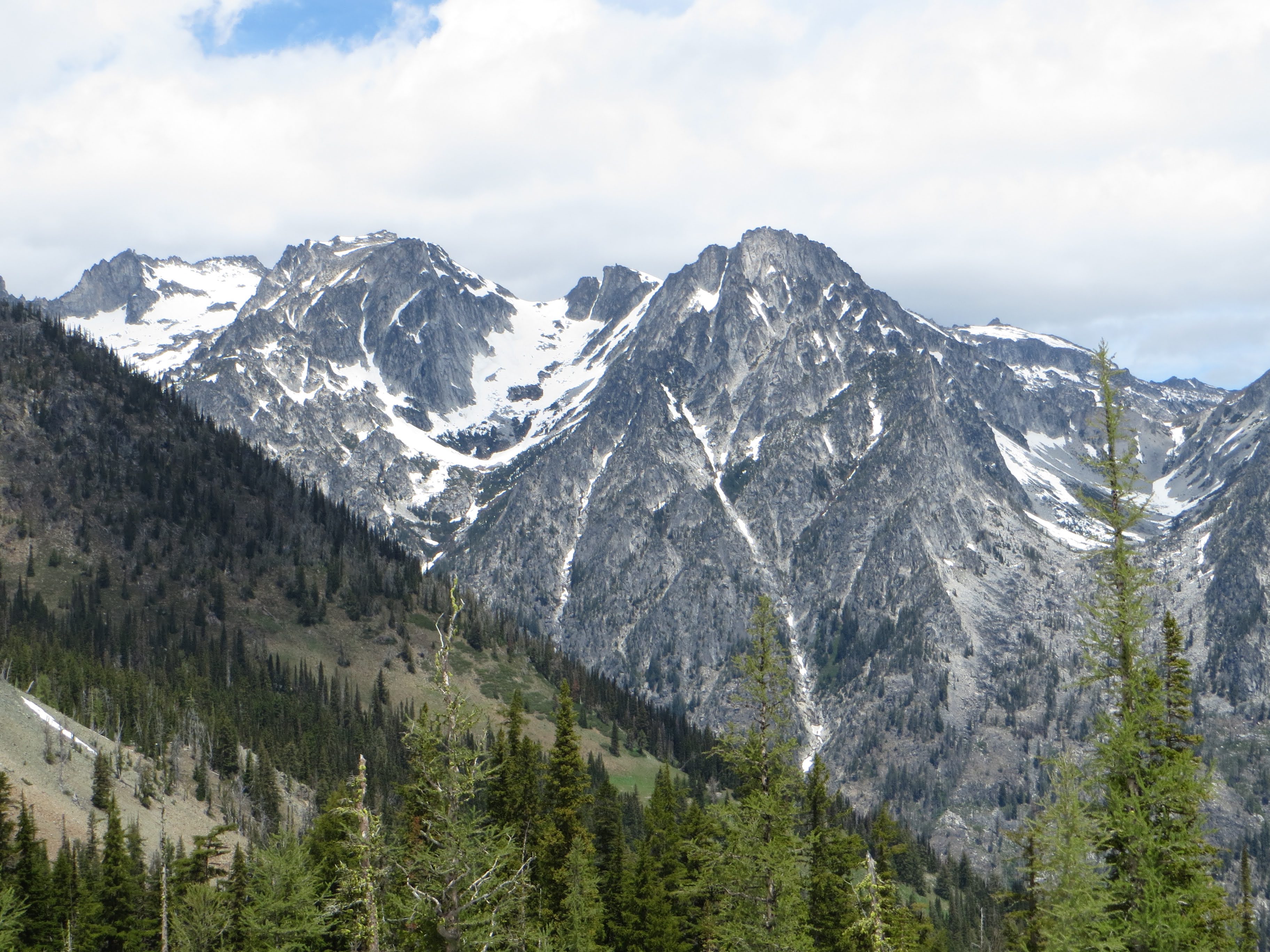 zoom of Dragontail and Little Annapurna
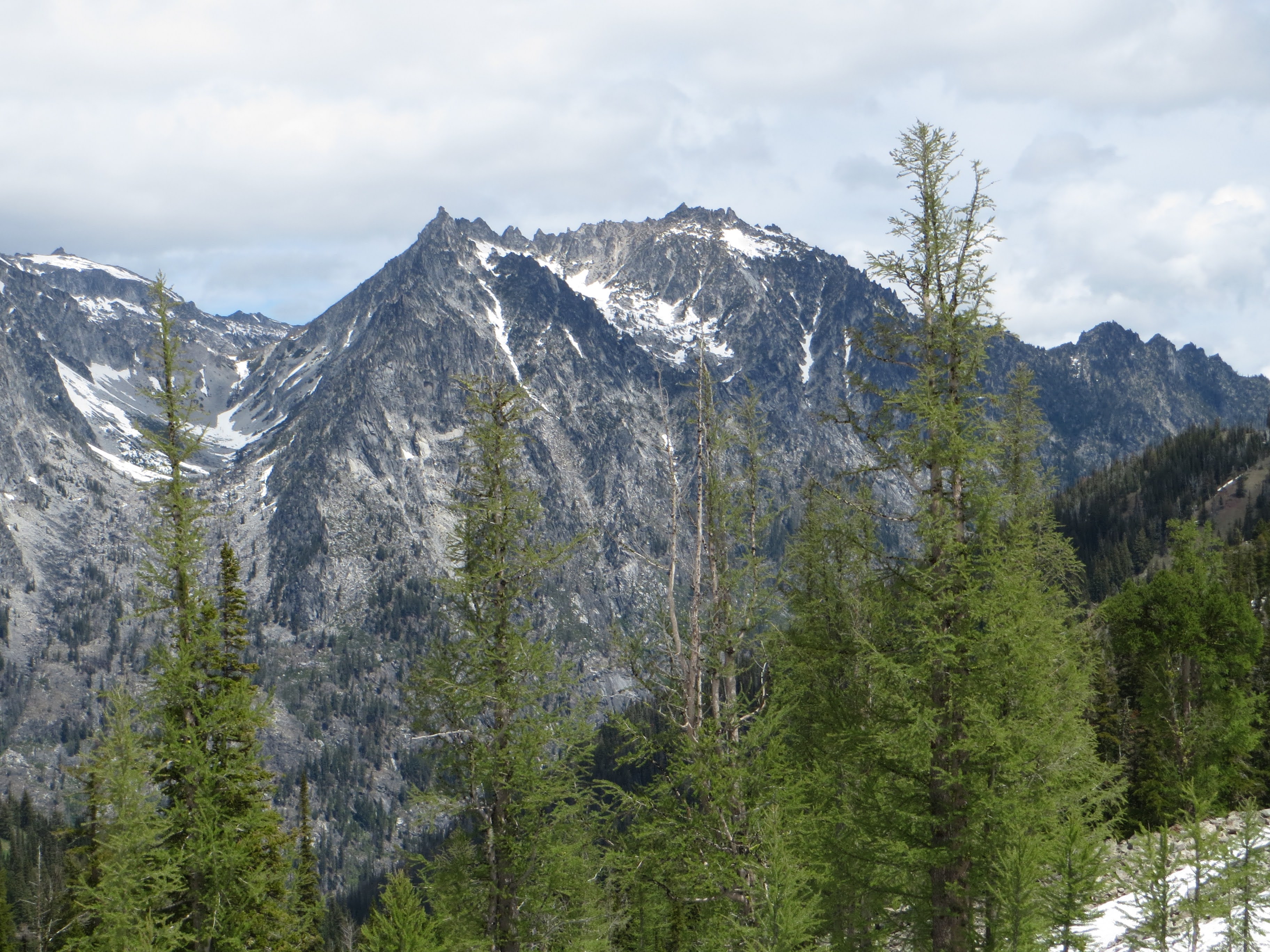 zoom of McClellan Peak
 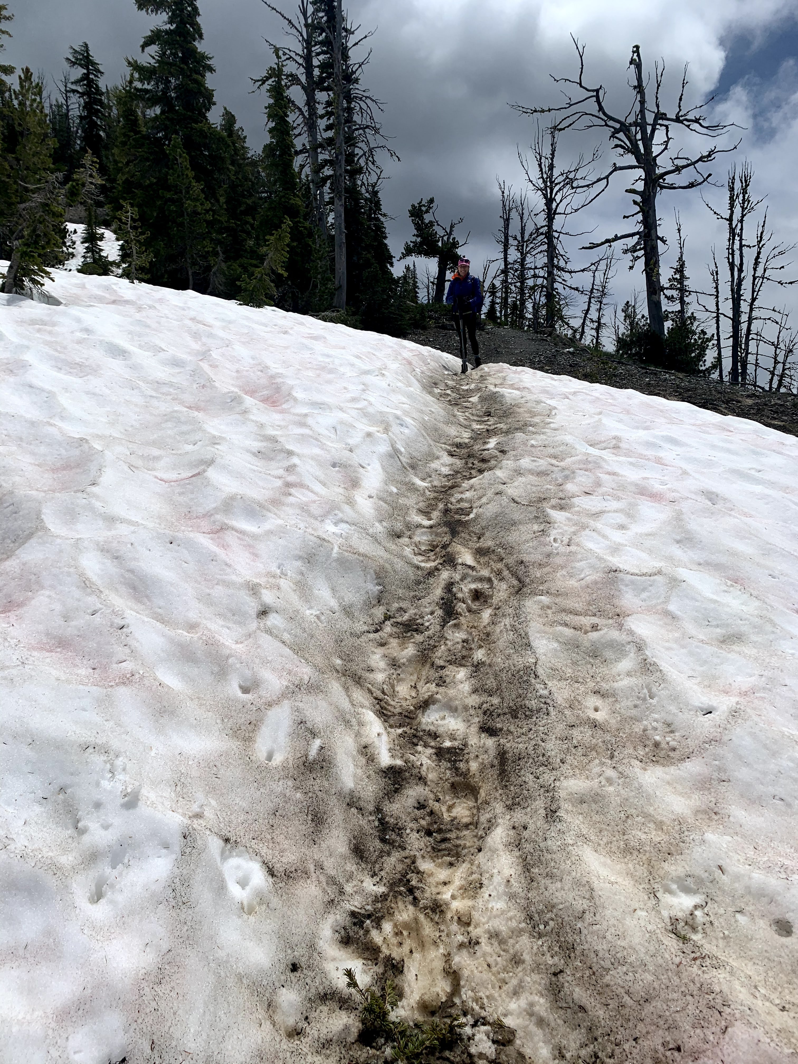 There were some snow patches across the County Line Trail heading east up towards Navaho Peak.
 We found a lovely spot for a lunch break and a view of more of the Enchantment Peaks.
 zoom of the top of Mount Stuart
 zoom of Colchuck Peak
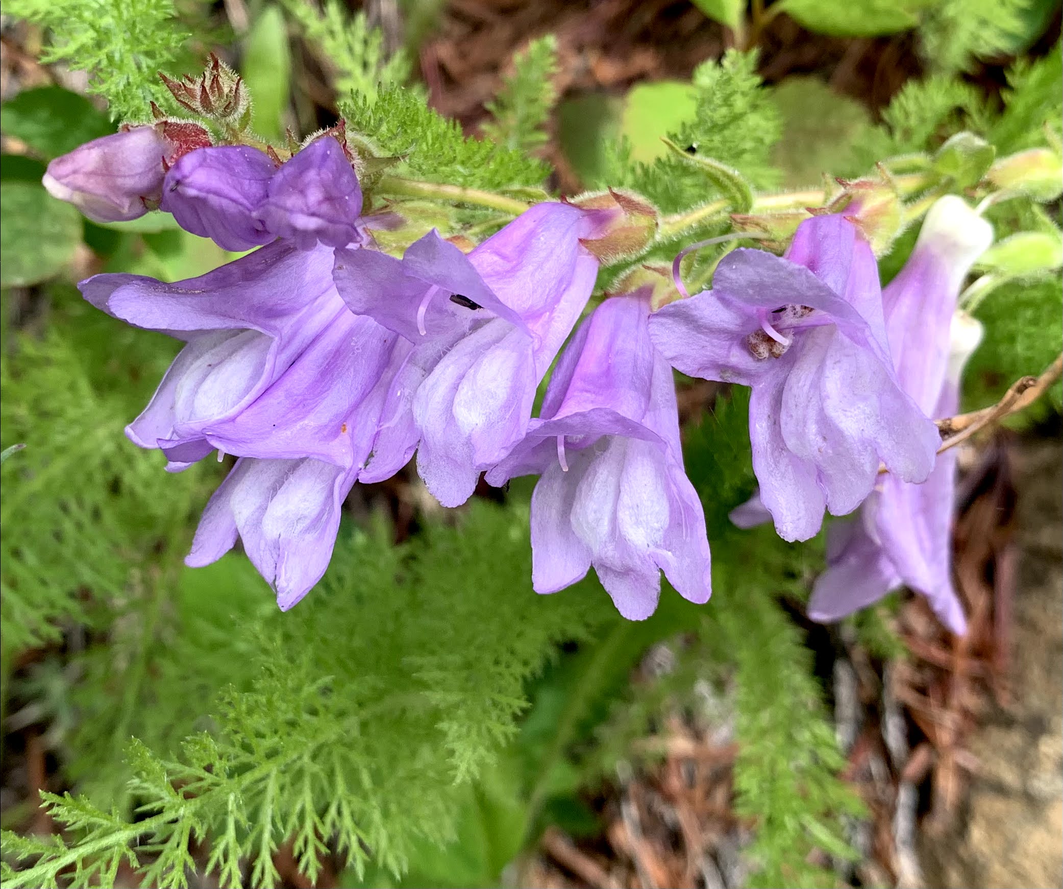
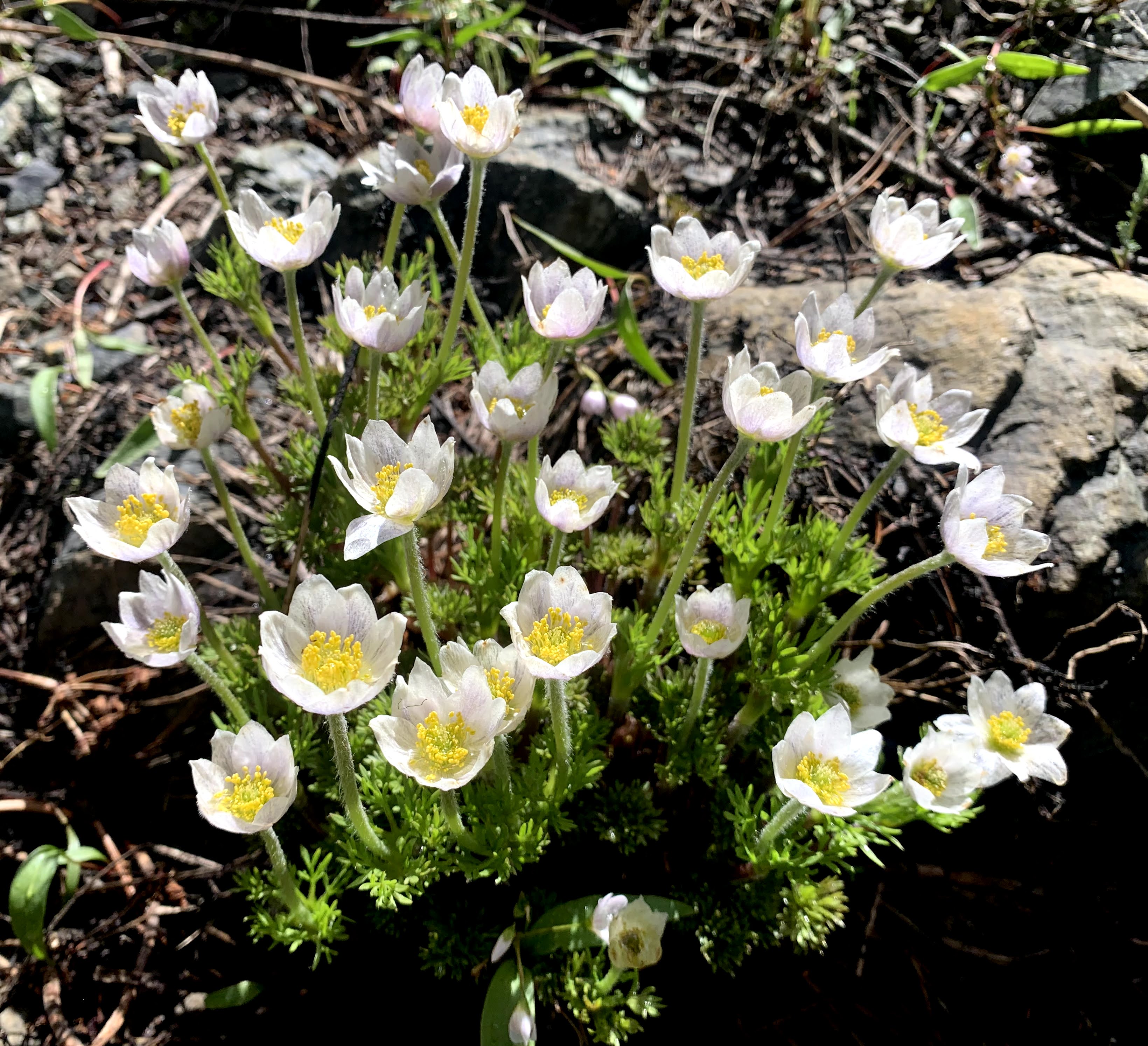
 some of the many wildflowers we saw in bloom along the trail today: