We decided we would hike from Johnston Ridge to Loowit Falls then over to Windy Ridge up to the viewpoint on the ridge, then back to Johnston Ridge for a 21 mile hike with an overall elevation gain of about 3,900 ft.


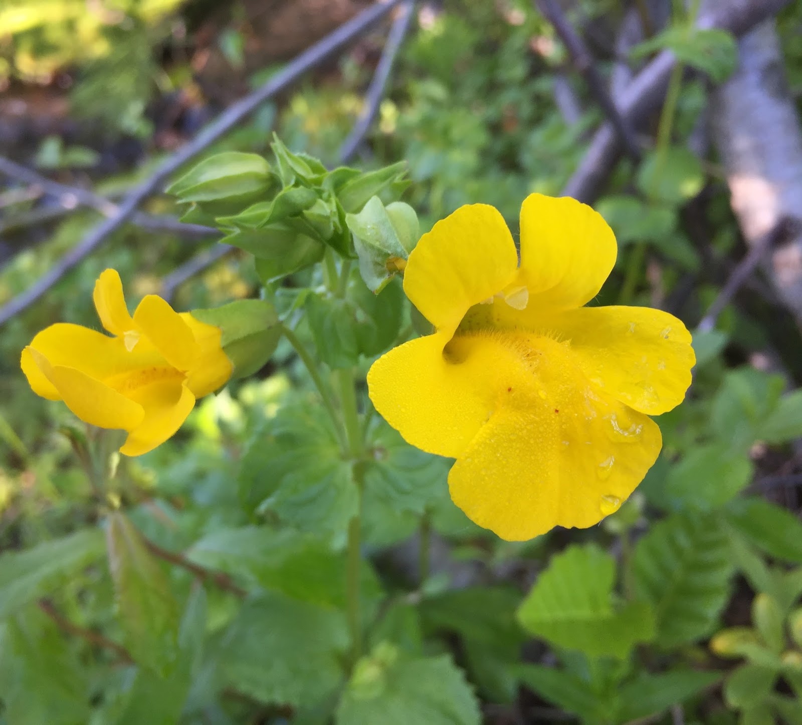
 and hiked towards Mt St Helens with wildflowers in bloom.
 We left the Truman Trail to take the Willow Springs Trail (1 mile) to the Loowit Trail for 1 mile heading east.
 We saw a herd of elk traveling in front of Mt St Helens,
 I tried to get a couple of pictures with the zoom on my camera, but they were pretty far away.
 The Loowit Falls Trail branches off of the Loowit Trail for 0.6 miles


Looking north-north east from Loowit Falls: Johnston Ridge, Harry's Ridge, Coldwater Peak, the Dome, Mt Margaret, Spirit Lake, Mt Rainier, Windy Ridge, Mt Adams

 We returned down the Loowit Falls Trail (0.6 miles) to the Loowit Trail heading another mile further east. As the trail winds up and down and around ridges, we felt close to the north edge of the crater.


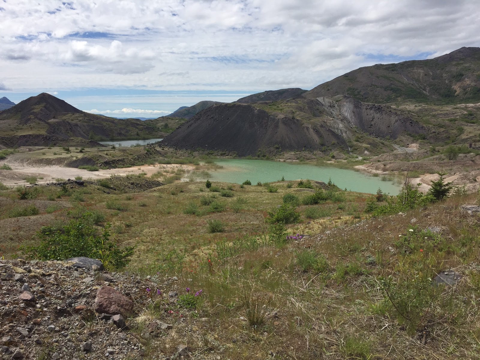
Here the Truman Trail becomes part of a dirt service road going up the east side of a large ridge to the parking area by Windy Ridge.
 It's 2 miles up this dirt road to the parking area at Windy Ridge. We would lose sight of Mt St Helens, but we had views to the east including Mt Adams (not pictured here), Mt Hood and the ridges around Smith Creek. Down below, we saw another herd of elk resting on a meadow. There are also several waterfalls draining into Smith Creek.
zoom of Mt Hood to the south.

After crossing the empty parking lot at Windy Ridge (the FSRs on the east side are still closed due to winter conditions), we took the 439 steps up Windy Ridge.
Pano looking east to south from the top of the steps: Mt Adams, Mt Hood, Mt St Helens, Spirit Lake

A little further along Windy Ridge is a viewpoint Pano looking south to northwest from here: Mt St Helens, Spirit Lake, Harry's Ridge, Coldwater Peak, the Dome, Mt Margaret and Mt Rainier


 We had some larger streams to cross on this section of the Truman Trail,
including a washed out section of the trail here.


After reaching the Boundary #1 Trail, we talked to other hikers who had done the section of the trail going around Devil's Elbow. The trail sounded to be in the same condition as last year, so we opted to return that way, 2.5 miles back to our original trailhead.
Pano to the south from Devil's Elbow:


We saw a number of frogs in the streams and in pools of water from melting snow and this baby snake on the trail.

We also saw this hairy spider.
Some of the wildflowers blooming along the trail today: