This morning we drove up through Goldwater Campground at Mammoth Lakes to the Duck Pass Trailhead. We made a loop hike up to Skelton Lake by going up the Duck Pass Trail, with a side trip to Arrowhead Lake, to Skeltor Lake, then back down via the Emerald Lake Trail. Overall 4.4 miles with 850 ft of gain. Most of the trail is in the John Muir Wilderness.
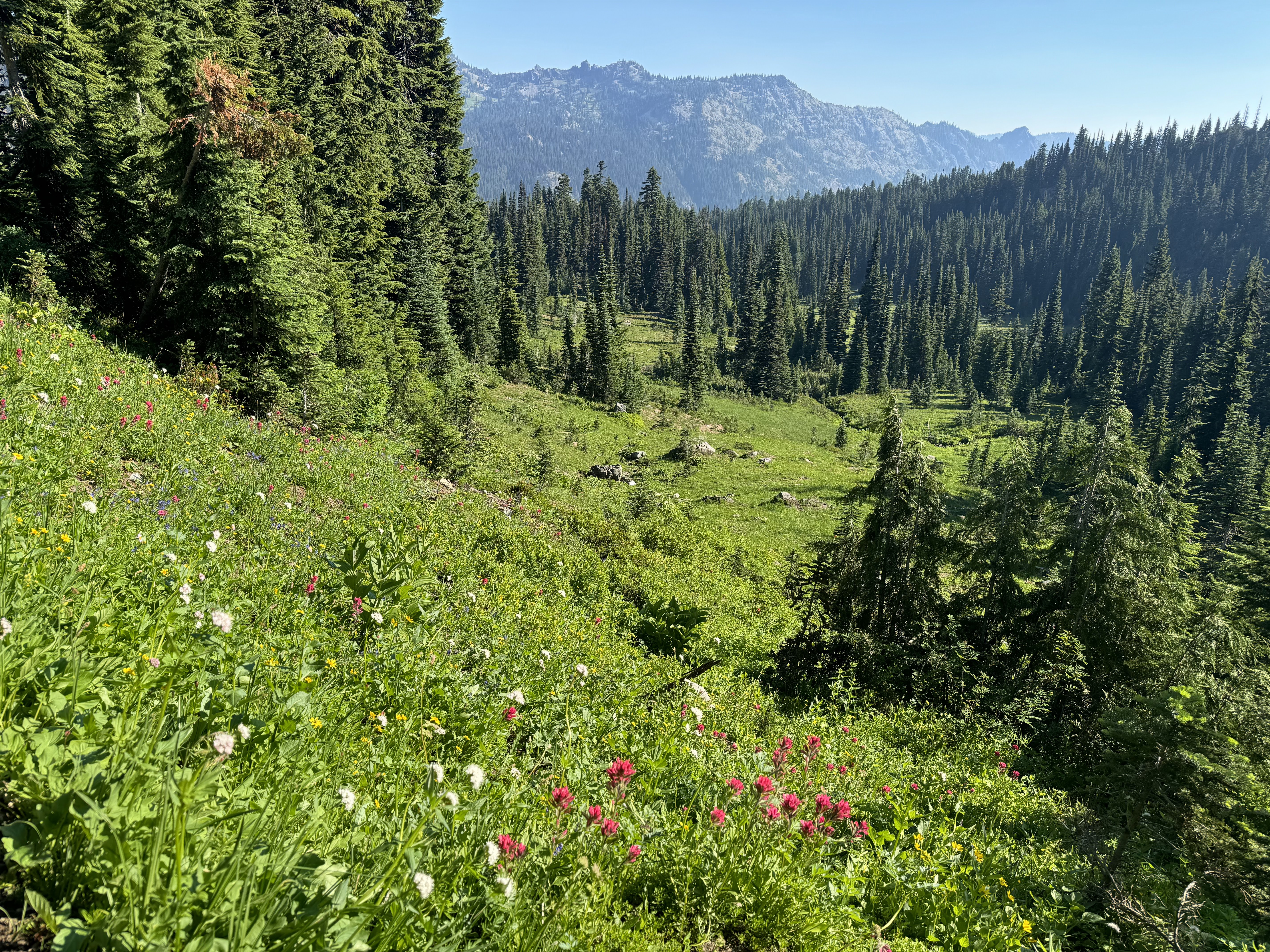
 Lots of lovely granite rocks in the forested trail.
 Part way up the trail we could see Mammoth Mountain behind Lake Mary (zoom)
 We took a spur trail down to Arrowhead Lake as the sun was rising over the ridge.
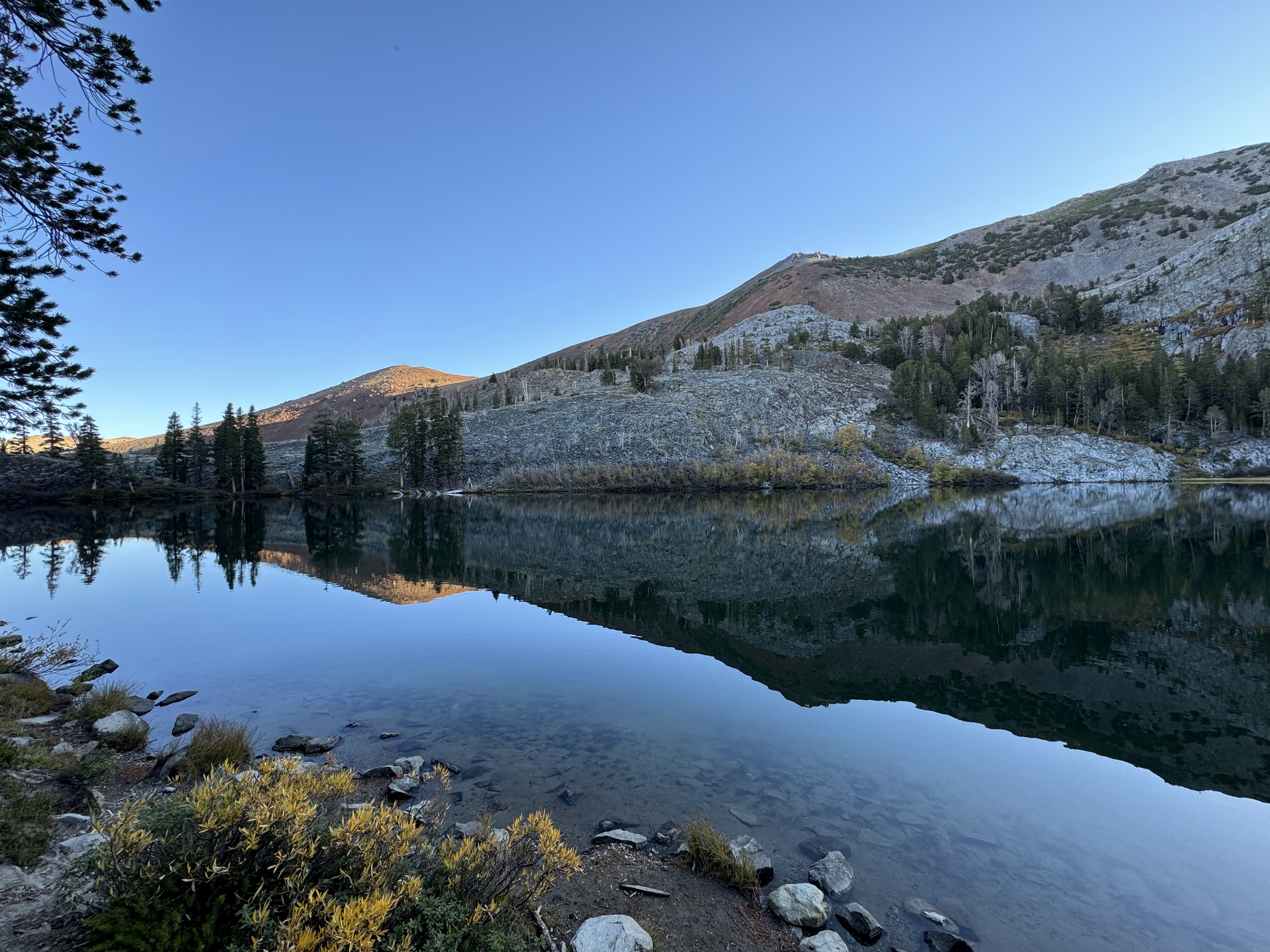 some various views as we walked along the southwest shore of the lake


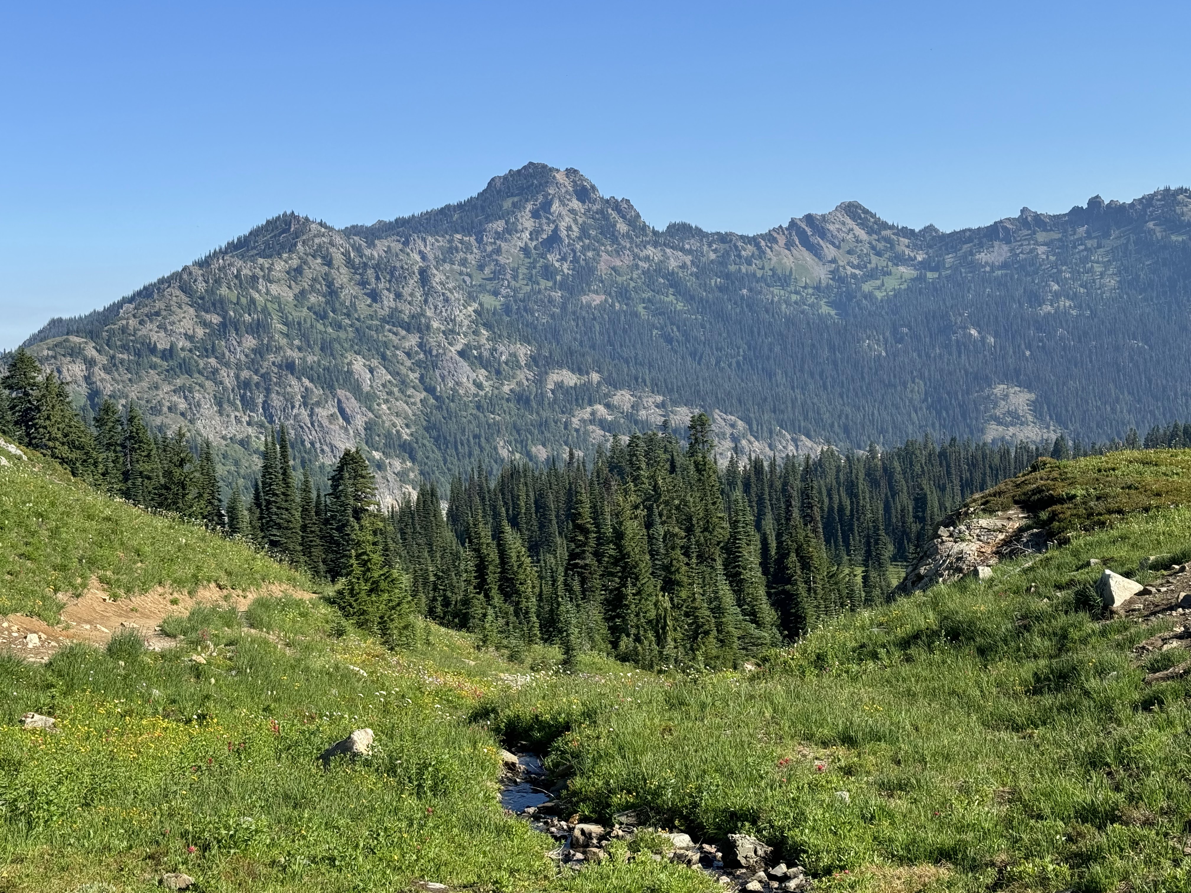
 Back on the trail up towards Skelton lake
 small creek along the way
 First view of Skeleton Lake
Various views as we walked along the southwest shore of the lake


 We returned to the trail junction with the Emerald Lake Trail and headed down hill. Part way down, we had a nice view of Mammoth Mountain and other Sierra peaks.
 Some of the granite outcropping seen along this section of the trail.
 First view of Emerald Lake, Mammoth Crest beyond the lake
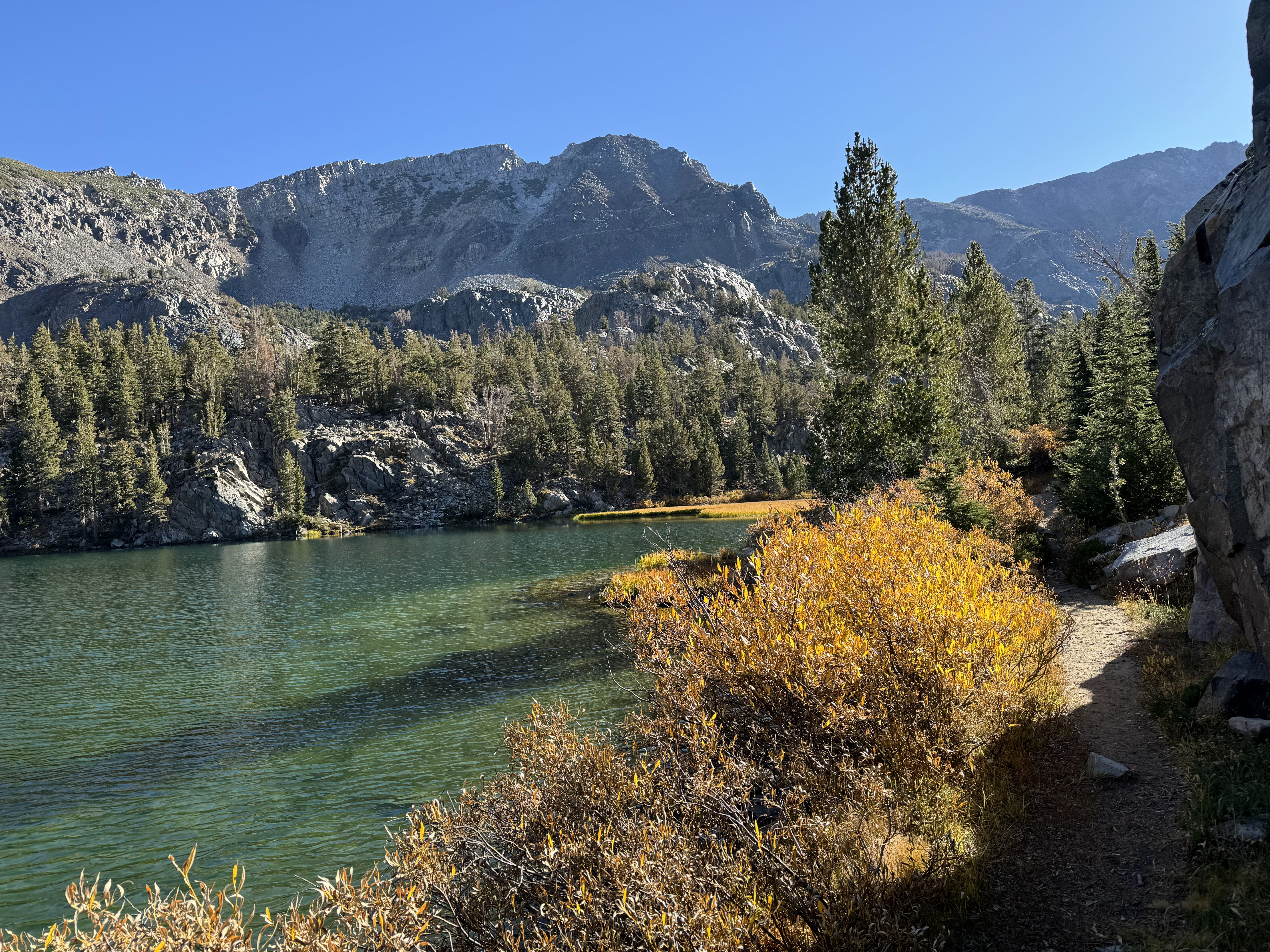
 More views at Emerald Lake, so gorgeous!!!