The first five miles goes up through the forest along Stafford Creek. There are several places where boot paths lead to the creek. We also found a few small creeks crossing the trail.
 There were many places where the trees thinned and small meadows of wildflowers appeared along the trail.
 These first 5 miles go by quickly, we were thankful for the shady areas and for the bright colorful wildflowers along the way.
 About 5 miles from the trailhead, the trail goes around a large meadow where we found lots of shooting stars in bloom, across to the other side, the meadow was pink with all the shooting stars.
 From the meadow, the trail continues up to Navajo Pass, Navajo Peak in the background.


 From Navajo Pass to the Peak, is another mile plus of trail, climbing 1,200 ft. A steep trail, loaded with fabulous views. As we gained elevation, we began to see more peaks in the Enchantments.
 Continuing up, we looked back and could see Mt Adams, the Goat Rocks and Mt Rainier to the southwest.


 There were many places where the trees thinned and small meadows of wildflowers appeared along the trail.
 These first 5 miles go by quickly, we were thankful for the shady areas and for the bright colorful wildflowers along the way.
 About 5 miles from the trailhead, the trail goes around a large meadow where we found lots of shooting stars in bloom, across to the other side, the meadow was pink with all the shooting stars.
 From the meadow, the trail continues up to Navajo Pass, Navajo Peak in the background.
Earl Peak to the west.


View from Navajo Pass to the north. The pass is 5.5 miles from the trailhead. We took a short lunch break here before continuing up to Navajo Peak.
 From Navajo Pass to the Peak, is another mile plus of trail, climbing 1,200 ft. A steep trail, loaded with fabulous views. As we gained elevation, we began to see more peaks in the Enchantments.
 Continuing up, we looked back and could see Mt Adams, the Goat Rocks and Mt Rainier to the southwest.
Pano from the summit of Navajo Peak to west and north.

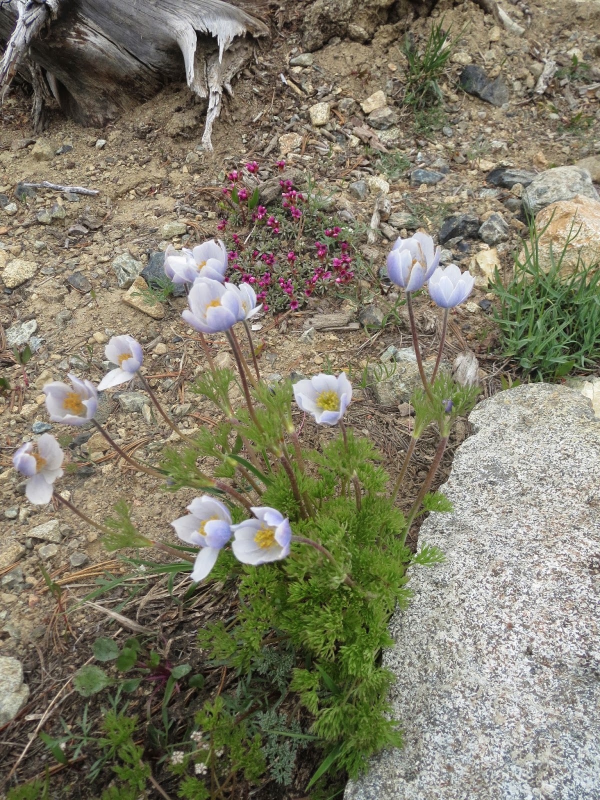
some of the wildflowers seen along the trail today: