Tuesday, November 14, 2023

Narada and Christine Falls

After hiking up at Paradise in Mt Rainier National Park this morning, I stopped at Narada Falls and Christine Falls before leaving the park. Narada Falls is about 0.25 mile round trip with 100 ft loss/gain.

View of Lane Peak from the trail above Narada Falls

Paradise River above Narada Falls 

Upper Christine Falls can be seen from the side of the road
Lower Christine Falls seen under the road (bridge),  is a short walk from the upper parking area.


Glacier Vista and Myrtle Falls

Drove up to Paradise at Mt Rainier National Park on this beautiful day. The trail up to Panorama Point was well packed and I was able to use my micro spikes, until I left the packed trail and broke trail over to Glacier Vista. I later snowshoed down along the ridge and then went over to Myrtle Falls. Overall about 3.5 miles with 1,000 ft of gain. There weren't very many people on the mountain today. Well packed trail near the parking area at Paradise.

Some of the trees had icicles on them.

Amazing to think that in a couple of months these trees will be buried in snow.

Looking over towards Mt Rainier as I book trail going over to Glacier Vista.

Looking back at my solitary prints and the view of Mt Adams and Mt St Helens beyond the Tatoosh Range.
zoom of Mt St Helens
zoom of Mt Adams
View of Mt Rainier from Glacier Vista


wide angle view at Glacier Vista


Another view of the Tatoosh and my lonely prints further up the trail.
Looking more to the southeast and the Goat Rocks and Mt Adams beyond the Tatoosh.

zoom of the Goat Rocks
some icy trees
a frozen boulder and Panorama Point above

I took a different route down, staying up on the ridge for a while, my footprints and a look back at Mt Rainier.

Fun to break trail in beautiful fresh snow!

I saw lots of these prints up on the ridge, they led to under the boulder, perhaps they are marmot prints.

Another view of the Tatoosh Range, I love hiking/snowshoeing down with this view in sight.

Another look back, before joining the Panorama Point Trail again.

View of Mt Rainier as the trail nears Myrtle Falls

Myrtle Falls

Snow covered Edith Creek above Myrtle Falls

View of the Tatoosh on hiking down from Myrtle Falls to the parking area.


Wednesday, November 8, 2023

Iron Peak

We drove out along the North Fork Teanaway Road to the Iron Peak Trailhead. Along the way we had to wait for a buck to slowly cross the road. We hiked 6.5 miles round trip with about 2,450 ft of gain. We only saw 3 other hikers on the trail.

View of Esmeralda Peaks from the trailhead.

The trail gains steady elevation on the way to El Dorado Pass. View of Kopek Mountain across the road to the west.

There was lots of hoar frost on the lower part of the trail. 
View of Esmeralda Peaks and South Ingalls Peak to the north.
There was snow on the trail starting at 5,000 ft.
View of a distant Mt Rainier to the west
zoom of Mt Rainier

View of Teanaway Peak as we neared El Dorado Pass

We took a short break at El Dorado Pass, view to the east

Then there was a steep ascent heading up to Iron Peak with deeper snow, there was only one hiker in front of us.

View to the northwest as we continued up
zoom of some of the peaks the distance from further up the trail
Up on the ridge near the top of Iron Peak, Mount Stuart to the right.
Wide angle view to the north:


Distant views of Mt Rainier and Mt Adams to the southwest

We stopped about 0.25 mile from the official top of Iron Peak, I was not comfortable with the exposure in the snow.
Small cloud above Mount Stuart on this gorgeous day.

Another view
Near where we turned around on Iron Peak today.

View looking down towards El Dorado Pass and Teanaway Peak on the other side as we hiked down the trail. Glad we now had a broken in trail to follow.


Wednesday, November 1, 2023

Snow Lake

We drove up to Snoqualmie Pass (Alpental) to hike up to Snow Lake before the upcoming winter storm. The trail was mostly icy with packed down snow around Snow Lake, no snow in the avalanche areas. Overall we hiked 7.4 miles round trip with 1.750 ft of gain. Frozen Waterfall near the beginning of the trail.

A mostly frozen waterfall that crosses the trail

Hoar frost

Another mostly frozen waterfall
icicles on rocks bordering the trail

As we went up the switchbacks below the saddle we could see some peaks emerging through the clouds.

Frosty trees and large icicles on the cliffs above us


We saw some large broken icicles on the trail.

Large icicles on the side of the trail.


Some very icy sections along the switchbacks


The trail enters the Alpine Lakes Wilderness at the saddle. We found blue sky as we descended the switchbacks on the Snow Lake side of the saddle.

Icy creek near the lake

Some views as we hiked around Snow Lake


There was a very steep section of the trail that was very icy, we made it down and later back up, glad we wore our micro spikes.

View of Snow Lake and Mount Roosevelt near the lake outlet. We had a time limit today, so choose this as our turn around spot.
Icicles hanging off tree branches over the lake
Icicles hanging off a downed log on the lake
Snowy Cascade peaks seen from the trail section returning towards the Snow Lake Trail.

Back to the frozen creek crossing with a view of Chair Peak.
We took the spur trail down to the lake access for some nice views as the sky became cloudy.


Icicles hanging off boulders at the edge of the lake


I liked the icicles hanging off the edge of the ice that was over the lake.

Swirling patterns in the ice
Back at the saddle we went over to the viewpoint at the boulders and ate our lunch.
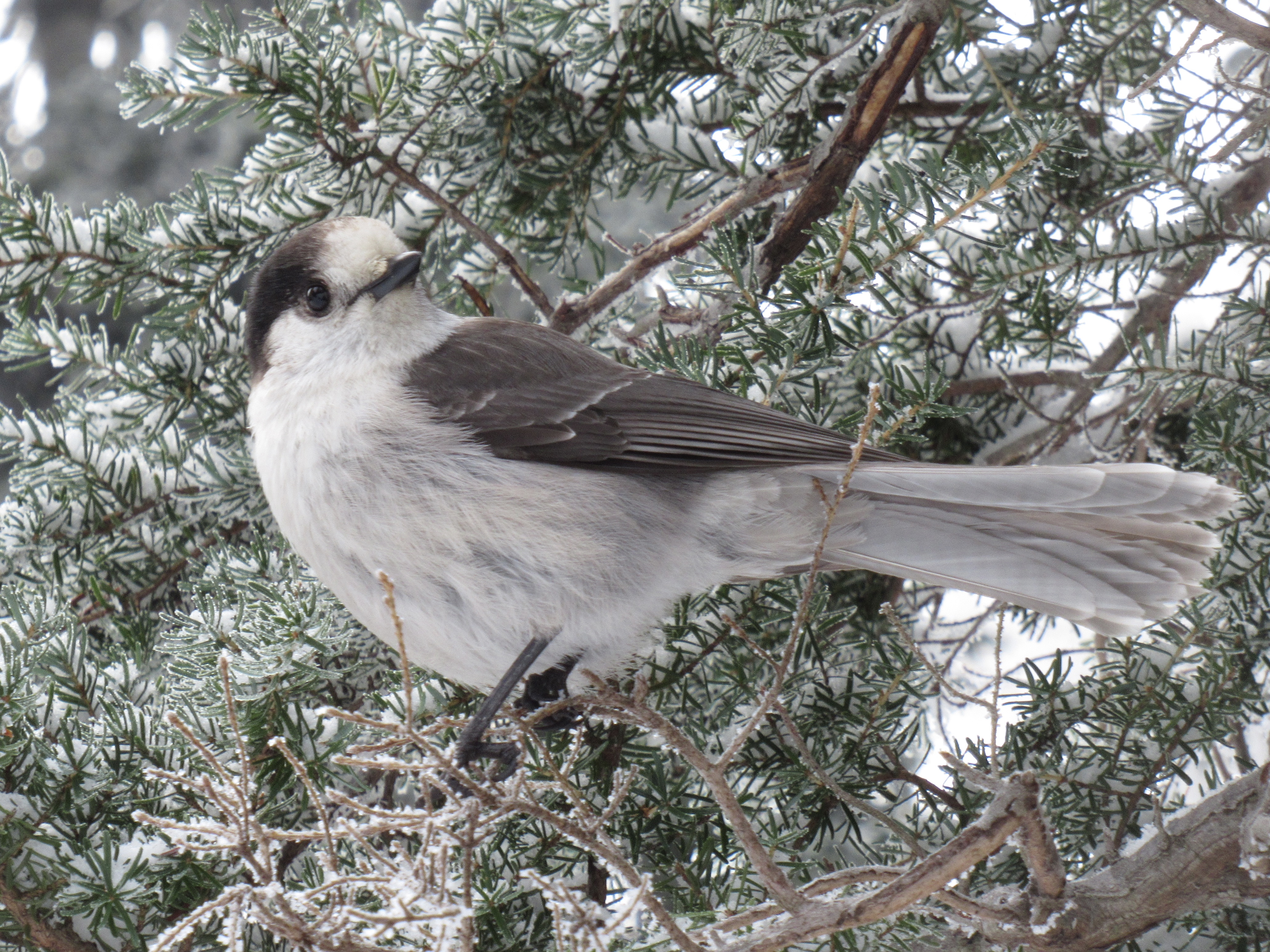
Unfortunately, we were harassed by grey jays, one stole the sandwich bag right out of my hand. I was able to get most of it back. I wish people would not feed the jays as it makes them very aggressive. We were fortunate to see a pike running around (too fast for me to get a photo).
Enjoyed seeing the icicles along the trail on our way back down.


Although it was more cloudy as we hiked out, we did glimpse these peaks through the clouds.