Friday, September 24, 2021

Hazard Peak Loop

We returned to Montana de Oro State Park today to hike up to Hazard Peak. We decided to do it as a loop. We parked at the Hazard Peak TH, walked a short ways down the road to the Isley Creek Road (a service road for the park, and recreation trail for bikers, hikers and equestrians). We hiked about 2.6 miles along Isley Creek Road to the Barranca Trail to a short ways along the East Boundary Trail and then the Hazard Peak Trail back to the trailhead. 
It was foggy for most of our hike, view of the Pacific Coast as we began our hike.
Interesting rocky hillsides along our route.
We hiked on the other side of Isley Creek yesterday, lots of trees and greenery in the creek valley.
The fog would lift and descend as we hiked, giving us occasional views of the nearby peaks.
doe with two fawns on the road
buck hiding behind some foliage
Pretty colors as the rising sun hit the fog
verdant in the creek valley
We were happy to see some wildflowers along the trails today.
Lots of oak trees (and poison oak, which we avoided)
Partial views along the Barranca Trail, the peak on this trail remained in the fog.
Still foggy as we hike up to Hazard Peak
Our best view up on Hazard Peak
Had good views to the east as we started down from Hazard Peak 
One of several lizards we saw along the trail today
As we hiked towards the trailhead, the fog started to lift and we saw ridgelines in other directions.
Hazard Peak stayed fogged in
We hiked through some eucalyptus trees
And before our hike ended, the fog lifted so we could see the Pacific Ocean and coastline.
Some of the flowers (and berries) we saw along the trail today:


Thursday, September 23, 2021

Reservoir Flats

On our way south this afternoon, we stopped at Montana de Oro State Park on the Pacific Coast to do a short 2 mile loop walk, Reservoir Flats. We oped to hike counterclockwise.
We had some nice views of the nearby peaks.
And a little view of the Pacific Ocean behind us.
The trail took us through the Isley Creek Valley, that was full of greenery.

Very refreshing
We saw some wildflowers along this route
Fog rolling in this afternoon
View of the beach along the Pacific Coast across the road from our trailhead.
some of the wildflowers (and some berries)  we saw along the trail today:


Balconies Cliffs-Balconies Cave Loop

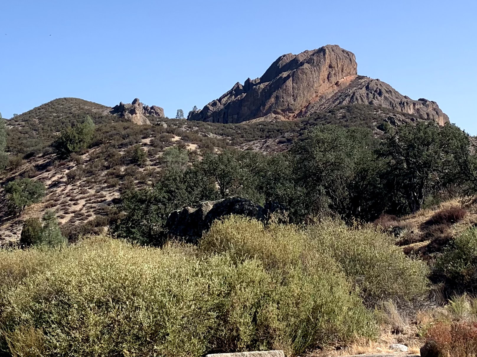
We drove up to the West side of Pinnacles National Park to hike the Balconies Cliffs-Balconies Cave Loop (2.5 miles with 400 ft of gain) before the temperatures got too hot to hike. View form the parking area.
We watched the moon set to the west as we began our hike.
We were dwarfed by the boulders that were below Machete Ridge.
The trail goes through many gorgeous rock formations.
Machete Ridge 
We took our time in the coolness of the morning, while the sun was still low in the sky.


On reaching the loop, we opted to go clockwise, going up the Balconies Cliff Trail before returning via the Balconies Cave Trail


View of Machete Ridge from the other end.


Heading down the Balconies Cave Trail.

We followed this rock steps up towards the Cave
view through the trees
The cave entrance is in the opening at the bottom of the photo
cave entrance
Some areas of the cave were light with sky lights, other ares we need our headlamps
We would go up over some boulders,
go down over other boulders,
crawl under several boulders,
and squeeze past some boulders.
view through a sky hole
cave exit
There was a narrow passageway after exiting the cave.
Back out in the open.
Some more views as we meandered back to the trailhead.


Lovely large oak tree
We heeded the sign, it was already 85F at 10am when we returned to the trailhead.