We drove up to Sedona, Arizona to hike around Cathedral Rock. We started up towards the Hiline Trail to the far side of Cathedral Rock, then came back on the Templeton Trail and the Hermit Trail (with a side trip up Cathedral Rock. 8 miles with 900 ft of overall gain. Gorgeous views as the trail wound around Cathedral Rock.

We took a short connector trail up to the Hiline Trail. This trail went up and around the other side of this striking rock feature.

Looking across the valley

Looking back to Courthouse Butte and Bell Rock

more views across the valley

Our first view of Cathedral Rock

View of the large rock feature as the Hiline Trail wound around to the other side.

Getting closer to Cathedral Rock

Looking back to the Rabbit Ears (zoom)

Love the colors in Red Rock Country

Zoom of Cathedral Rock as we continued around the loop

Some sections of the Hiline Trail were steep and we carefully slid down the rocks

This was a very noisy bird along the trail

Cathedral Rock is so interesting to see all the way around the loop

This sign was posted on the far side, after we passed the the "extreme difficult" section. I think the extreme difficulty is in regards to the bicyclists. Although we did meet a woman on this section who told us she wandered around for 1-1/2 hours trying to find where the trail went up through the rocks.

View of Cathedral Rock from the back side (from our first view)

The Templeton Trail went past Oak Creek for a ways. This section was nice and cool.

The route up to Cathedral Rock is steep, with scrambling needed in places. I did not feel comfortable stopping to take photos in those areas.

View from Cathedral Rock

After a lunch break, we went back down from Cathedral Rock to the Templeton Trail, so many gorgeous views along the way. We loved how these trails meandered giving us varied views of the area

Views looking back up at Cathedral Rock:

zoom of Cathedral Rock

Looking up towards the first large rock formation we went halfway around on the Hiline Trail

Views across the valley as we continue on the Templeton Trail

Heading towards Courthouse Butte and the trailhead
Courthouse Butte from the trailhead

Bell Rock from the trailhead (zoom)

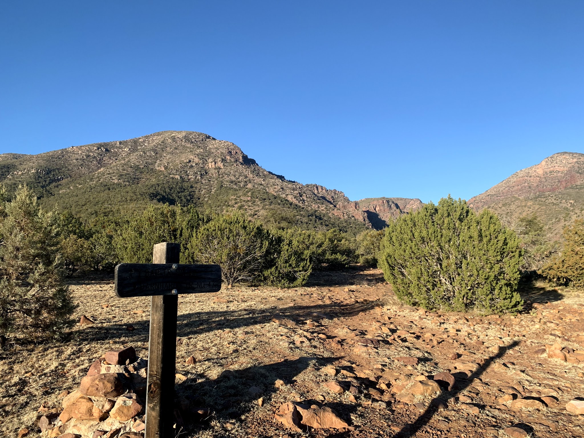 We drove up to the Mazatzal Wilderness in the Tonto National Forest to hike the Barnhardt Trail up through and above Barnhardt Canyon. We did not go to the end of the trail, but hiked 8.5 miles round trip with 1,700 ft of gain.
 Near the beginning of the trail, we went through a cattle gate.
 About 0.75 mile from the trailhead, we entered the Mazatzal Wilderness. The first part of the trail was through oak and juniper trees.
 The trail climbs and follows the south side of the canyon.
 There were a variety of rocks along the trail.
 Lots of rock formations
 and a variety of plants
 The trail wound around the canyon outcroppings giving us a variety of views.
 Something new to see around every corner
 sun rising above the canyon walls
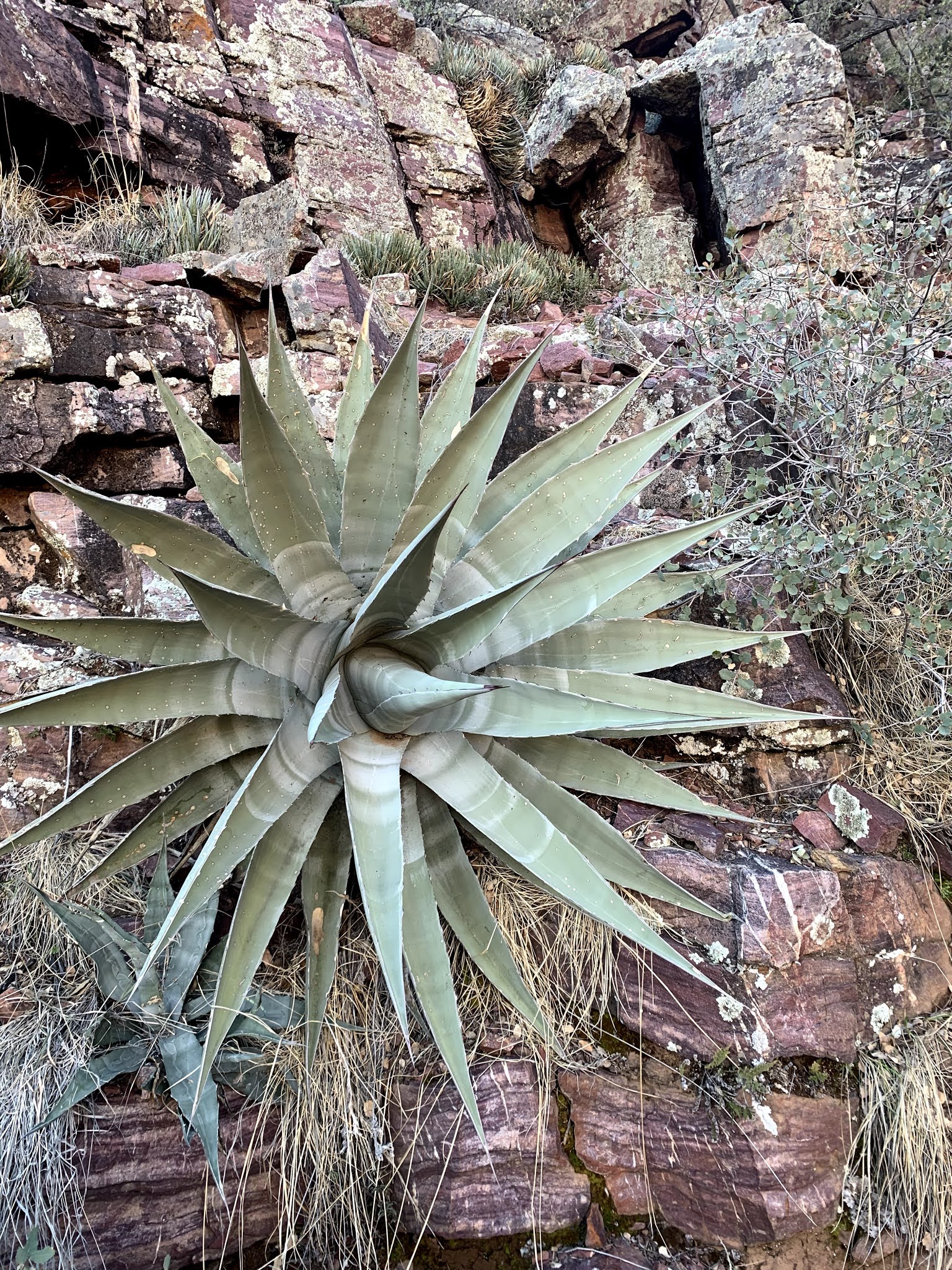 This plant was about 4 feet across and was growing right out of the side of the canyon wall
 The trail took a sharp turn to the left around the rocky outcropping,
 to reveal a perfect place to sit and take a break.
 Continuing up the trail
 About 3 miles up the trail, we reached a narrow crevice where the waterfall is located. There was a sheet of ice over this pool of water.
 A very short scramble over a few boulders let us to the waterfall.

 We continued up the Barnhardt Trail about 1.3 miles beyond the waterfall getting above Barnhardt Canyon


 We encountered some small snow and ice patches along the upper parts of the trail. Snow was lingering on Suicide Ridge. We took a lunch break and then returned down the trail.


