Wednesday, November 11, 2020

Granite Lakes

We drove up to the Middle Fork Snoqualmie Natural Resources Conservation Area to hike up to Granite Lakes. This is an 8.8 mile round trip hike with 2,270 ft of gain. This trail follows Granite Creek through the forest up to Granite Lakes. Today, the trail transitioned from fall to winter around 2,300 ft.


We started the hike in the fog.


There were some fungi growing on the lower sections of the trail.


more fungi


Bridge crossing Granite Creek 1.8 miles from the trailhead.
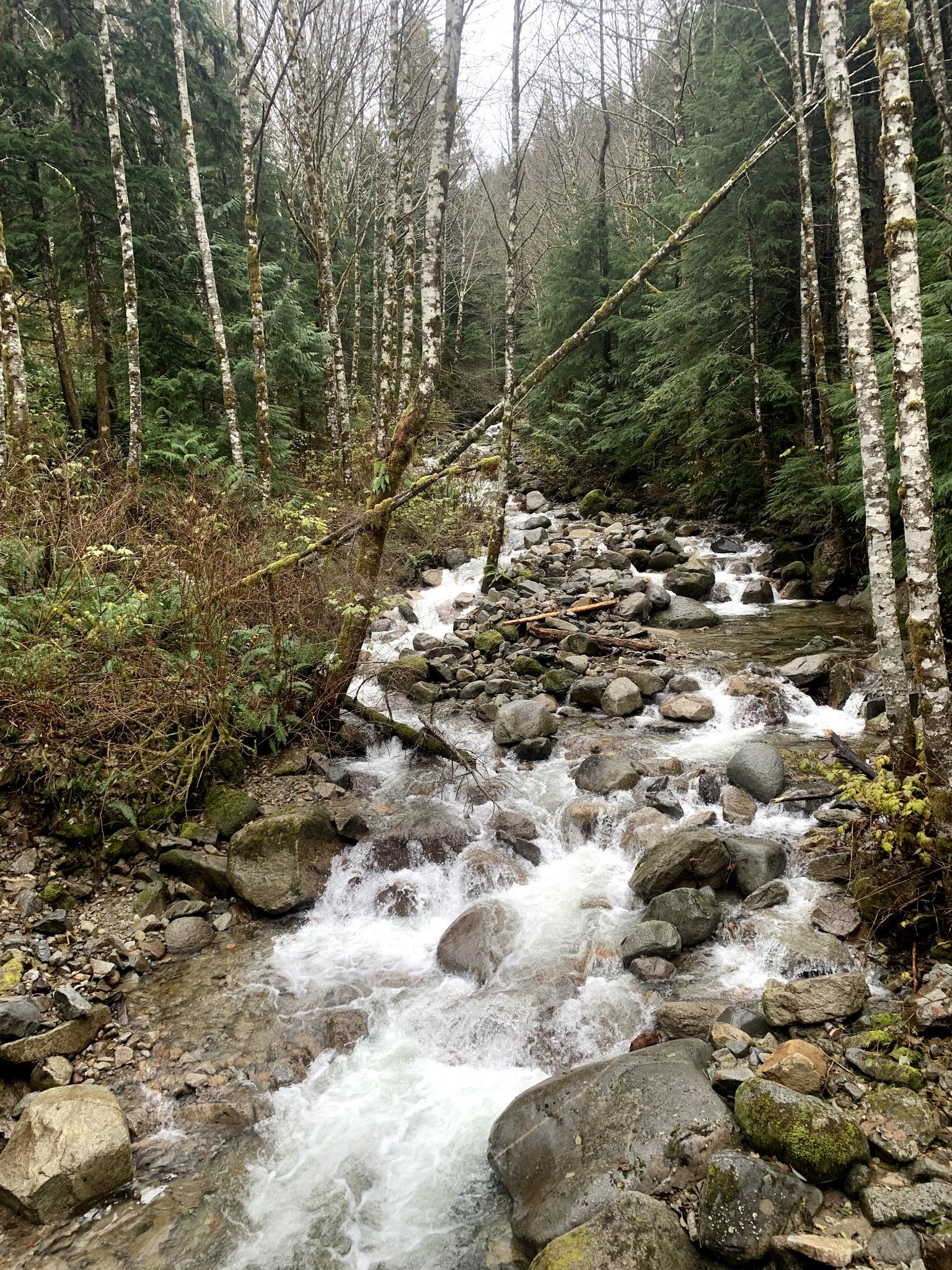


View of Granite Creek from the bridge


Fresh snow from last night above 2,000 ft


There are many small streams crossing over the trail, we were able to step over on the rocks.


3.7 miles from the trailhead the trail splits, Thompson Lake to the left and our destination Granite Lakes to the right. A 0.7 mile trail leads to Granite Lake with a couple of opening in the forest for some views. Here Dirty Harry Peak


Some distant peaks to the west


Before reaching the outlet at Granite Lake, we found a boot track in the snow that led to the north shore of the lake. View of West Defiance Peak and


Dirty Harry's Peak across the lake. We took a lunch break here.


View of West Defiance Peak from the outlet crossing
There are two wide creek crossings at the outlet. We were able to boulder hop and keep our feet dry.
View of Granite Lake and West Defiance Peak from near the south side of the outlet.
Trees reflecting in Granite Creek at the outlet.
After enjoying the views at the lake, we headed back, this is the larger of the two water crossings at the outlet.
Although we saw many other hikers on the trail today, for most of the hike, we were by ourselves, enjoying our time in the forest.
View through the trees as we hiked closer to the trailhead.
some of the fungi we saw along the trail today:


Monday, November 9, 2020

Thorp Mountain and Thorp Lake via Knox Creek

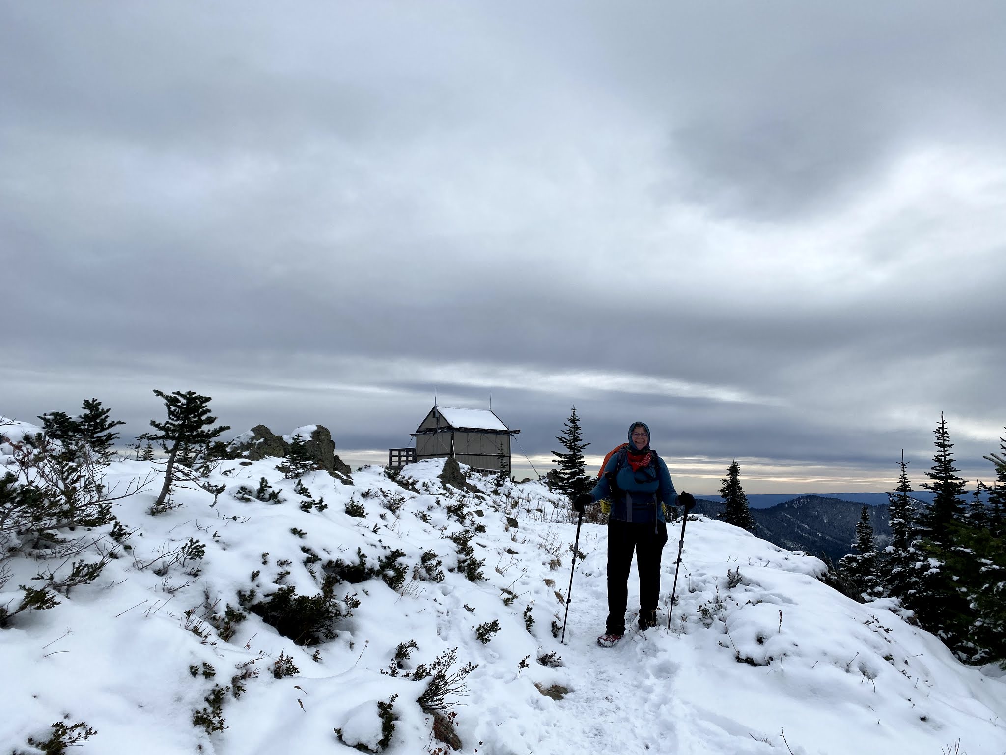
We drove out to French Cabin Creek Road north of Cle Elum Lake, to hike up to Thorp Mountain and then to Thorp Lake and back via the Knox Creek Trail. We only drove a short distance up FR 120 because it was icy and we read a car had slipped in the ice yesterday. Walking up the road added 1.75 miles each way. Overall, we hiked 10 miles with 3,100 ft of gain.


frosty leaf on the ground


Official trailhead to Thorp Mountain via Knox Creek, from here it is 2.3 miles to Thorp Mountain.


The first section of the trail is mainly in the open, gaining 1,100 ft in 1.3 miles. View on the ridge to the south.


We could see a little bit of clear sky and sunshine to the southeast under the high clouds.


Higher up along the ridge was fairly consistent snow on the trail.
Up on the ridge, the trail was mostly in the woods and fairly flat for the next 0.6 miles. Here we could see Mount Stuart and the Stuart Range to the northeast.
zoom of Mount Stuart and the Stuart Range
A little further down the trail, we could see a distant cloud covered Mt Rainier to the South.


zoom of Mt Rainier


The trail then meets up with the Thorp Creek trail, and gains 456 ft in 0.4 mile. Fire Lookout on Thorp Mountain


The views from Thorp Mountain are outstanding. pano to the north

zoom of some of the peaks in the Alpine Lakes Wilderness
zoom of Mt Daniels
pano to the south: Kachess Lake below, Mt Rainier now hidden by the clouds.


Heading back to the fire lookout, it was very windy and cold, so after enjoying the views and taking photos we decided to head down to Thorp Lake for our lunch break.


one of the benchmarks on Thorp Mtn


below to the southeast is our next destination: Thorp Lake


After returning to the trail junction, we hiked 0.8 mile down the Thorp Creek Trail to Thorp Lake. Parts of this trail was very icy. 


A short 1/4 mile trail leads to  Thorp Lake


We had a nice lunch break out of the wind enjoying the view of Thorp Lake and Thorp Mountain.
Then we hiked a mile back up to Thorp Mountain to reach the Knox Creek Trail and hike back to where we started.


track of our hike today

Friday, November 6, 2020

Mount Ellinor

Drove out to the southeast Olympics to hike up to Mount Ellinor via the Lower Trailhead. This is a 6.2 mile round trip hike with 3,344 ft of gain, most in the last mile of the trail. I saw 20 other hikers out on this popular trail today, only 3 along the lower trail.
It is 1.8 miles with 1,300 ft of gain between the Lower Trailhead and the junction with the Upper Trail. This part of the trail is all in the forest, with a few glimpses of nearby Mt Washington.
There is a nice long flat section here, it was a great place to both warm up on the way up the trail and to cool down and stretch the legs on the way back down.
After joining the Upper Trail, it is 1.3 miles to the summit with 2,044 ft of gain. The first part continues steeply up in the forest, then goes though a boulder field. Here I stopped to enjoy the views to the southeast. looking down on Lake Cushman and Hood Canal, with a distant Mt Rainier.
There has been quite a bit of trail work done since I last did this hike over a year ago. Lots of steps.
More steps crossing the avalanche chute to help prevent trail erosion.
View of Mt Rose and Lake Cushman to the southwest, while heading up the switchbacks on the west side of Mount Ellinor. 
I found the upper trail to be slippery enough to use Yaktraks.
Views from the summit of Mount Ellinor (5,944 ft).
Looking southeast: Hood Canal and Lake Cushman below, and a distant Mt Rainier.
To the east: Mt Washington in the center, The Brothers to the left, and distant Mt Baker and Glacier Peak on either side of Mt Washington.
To the north, an alpine lake below and many Olympic Peaks
More Olympic peaks to the northwest.
zoom of one of the distant Olympic Peaks
Clouds were beginning to form and rise as I started hiking back down the trail.
Further down the trail, Lake Cushman below the clouds.