Met up with some friends to snowshoe up to Glacier Vista and over to Myrtle Falls at Paradise in Mt Rainier National Park, we did about 3.5 miles with 1,000 ft of elevation gain. We stopped at Narada Falls on our way out.
Lots of people have visited Paradise since I was here 2 weeks ago, and the main route towards Panorama Point was well packed down.
Lots of icicles on the trees today.
Winter trail heads straight up towards the mountain, fabulous views!
Looking back towards the Tatoosh Range, we could see peaks in the Goat Rocks and a cloudy Mt Adams.
zoom
We saw animal tracks on top of someone's ski tracks, it looks like critters don't want to post hole more than we do ;)
Same animal tracks coming down to the ski tracks, Panorama Point in the background.
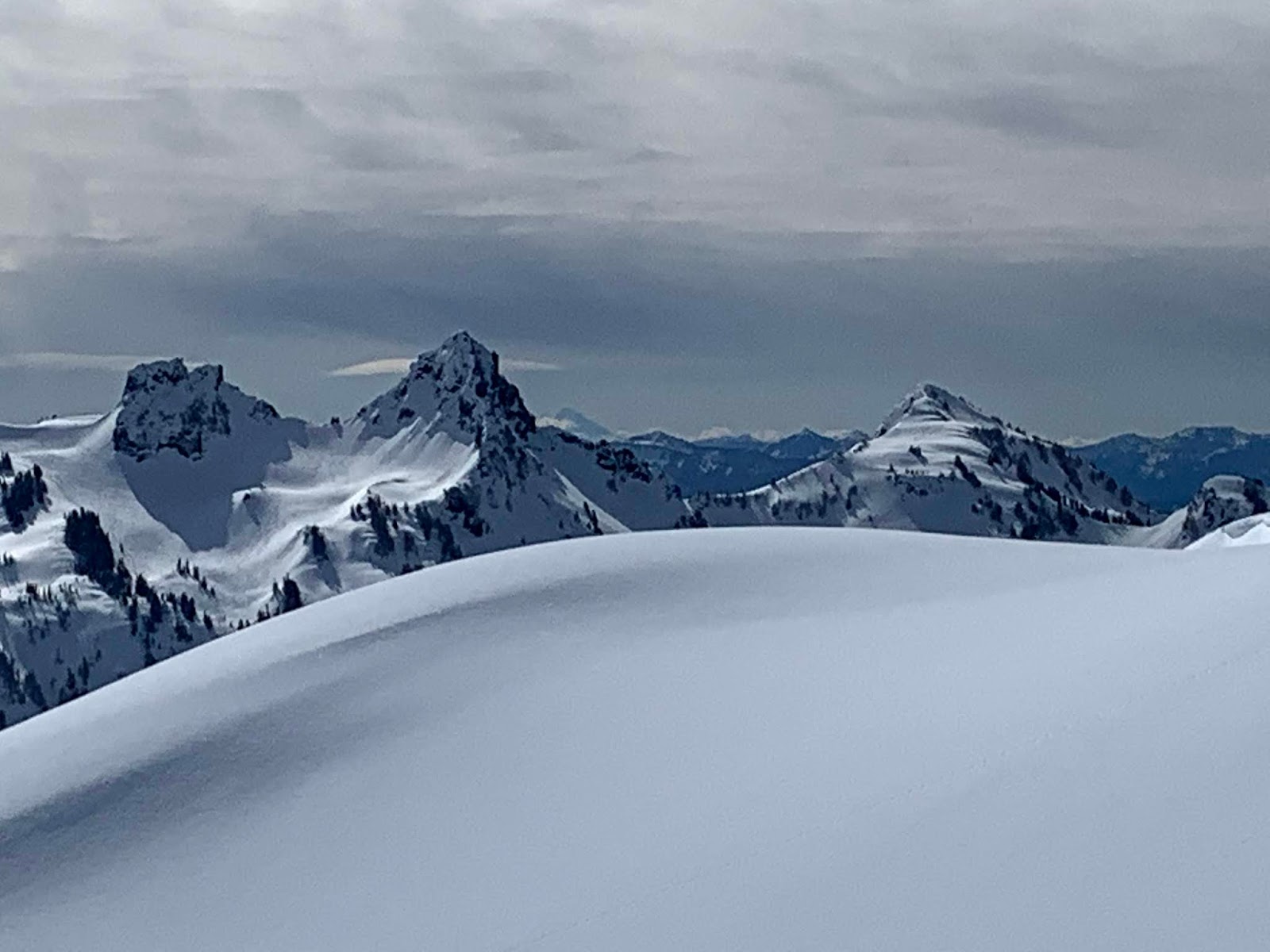
Up near Glacier Vista, we could see Mt Hood far to the south (on the right side of Pinnacle Peak)
zoom
Pano of the Tatoosh and beyond from Glacier Vista
View of Mt Rainier from Glacier Vista, as we took a lunch break here, we watched two skiers cross the Nisqually Glacier below us.
As we snowshoed back down, the sun seemed to light up Mt St Helens behind the Tatoosh.
zoom
Another view of the eastern side of the Tatoosh from above Alta Vista
As we snowshoed over towards Myrtle Falls, these trees we snow covered on the west side and bare of snow on the east side.
Myrtle Falls was completely buried in snow! And Mt Rainier is hiding in the clouds.
A ranger told us that Paradise now has a base of 190" of snow.
View of Paradise Inn
Lane Peak seen from above Narada Falls
Narada Falls with a rainbow at its base.
Monday, March 9, 2020
Sunday, March 8, 2020
Hurricane Hill Snowshoe
Drove up to Hurricane Ridge to snowshoe up to Hurricane Hill, 6 miles round trip with an overall elevation gain of 1,100 ft.
There was more snow here than two weeks ago, making the route less icy.
View from next to the visitor center
A short ways down the closed Hurricane Hill Road, there is a nice view the Bailey Range to the west.
Further down, Mount Angels to the east.
Lots of frozen trees along the way.
We didn't start until late morning, so the route was fairly well packed down.
Looking towards Hurricane Hill to the north.
Clouds began to roll in as we were ascending Hurricane Hill
No views to the north from Hurricane Hill, but a bit of blue sky.
View to the west from Hurricane Hill
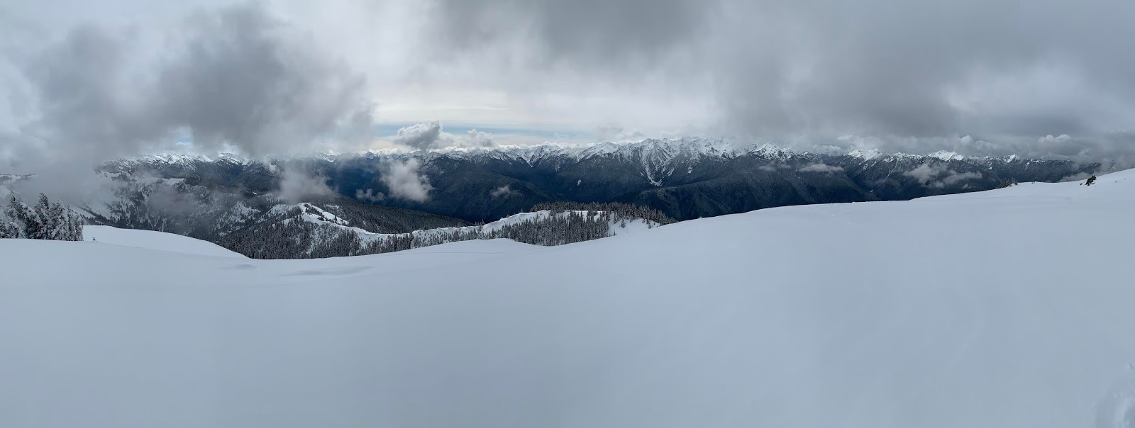
Panorama to the south from Hurricane Hill
We left the packed down route from the top of Hurricane Hill and snowshoed out along the ridge line of Hurricane Hill. Here the snow was soft and we were glad we brought snowshoes.
Looking back at Hurricane Hill.
Even on this cloudy afternoon, we enjoyed watching the clouds move across the mountains as we returned.
Lots of icicles on the trees today.
another look at the Bailey Range on the way down
One tree to duck under going along the ridge line
About 0.5 from the parking area, we saw the clouds parting to the north from this view spot. Hurricane Hill on the left, Mount Angeles on the right.
Friday, March 6, 2020
Ancient Lakes
Each time I've come to Ancient Lakes, I've hiked some of the same areas and something different. I have always parked at the lower parking area. Today we hiked about 7.5 miles with an overall elevation gain of 1,100 ft.
Waterfall coming off the coulee wall to the east.
One of the ancient lakes
another ancient lake, with a view the waterfalls at the far end.
View of the lower falls from the lakeshore.
View of the same falls as we continued around this lake.
There were lots of signs of beaver activity, but we did not see any beavers today.
Another more distant view of the waterfalls.
Another one of the lakes, we watched Canadian geese land in the water.
and another ancient lake, with the blue sky reflecting in the lake.
We then took a trail up the west coulee wall, here on the bench, we had a nice view of the area we had just hiked through.
Basalt columns as we continue up the coulee wall.
from up on the coulee wall, looking down into one end of the coulee that holds Dusty Lake.
View of Dusty Lake from the coulee wall.
Today, we took a trail down to the bench of the coulee wall on the Dusky Lake side for a little exploring. Here we are heading back up from the bench to cross back down to the Ancient Lakes side of the wall.
Lots of interesting rock formations.
The only wildflowers we saw in bloom today were a few sagebrush buttercups.
I like the contrast of the bright lichen on the dried bush.
Today's route.
Waterfall coming off the coulee wall to the east.
One of the ancient lakes
another ancient lake, with a view the waterfalls at the far end.
View of the lower falls from the lakeshore.
View of the same falls as we continued around this lake.
There were lots of signs of beaver activity, but we did not see any beavers today.
Another more distant view of the waterfalls.
Another one of the lakes, we watched Canadian geese land in the water.
and another ancient lake, with the blue sky reflecting in the lake.
We then took a trail up the west coulee wall, here on the bench, we had a nice view of the area we had just hiked through.
Basalt columns as we continue up the coulee wall.
from up on the coulee wall, looking down into one end of the coulee that holds Dusty Lake.
View of Dusty Lake from the coulee wall.
We continued back along the west side of the coulee. These rock formations make me think of a ruined castle.
The only wildflowers we saw in bloom today were a few sagebrush buttercups.
Today's route.
Subscribe to:
Posts (Atom)