Saturday, November 16, 2019

Dewey Lake and Naches Peak Loop

 We drove up to Chinook Pass on a cloudy day to hike to Dewey Lake which is off of the Naches Peak Loop Trail. We did both trails for an 8 mile hike with 1,425 ft overall gain.
Tipsoo Lake and half of the Naches Loop Trail are within the Mt Rainier National Park boundary.
First we hiked past the small pond by Tipsoo Lake


and then around Tipsoo Lake

 Naches peak from Tipsoo Lake


Although Mt Rainier was mostly covered in clouds, we could see Little Tahoma from the other side of Tipsoo Lake


View of Yakima Peak as we continued around Tipsoo Lake
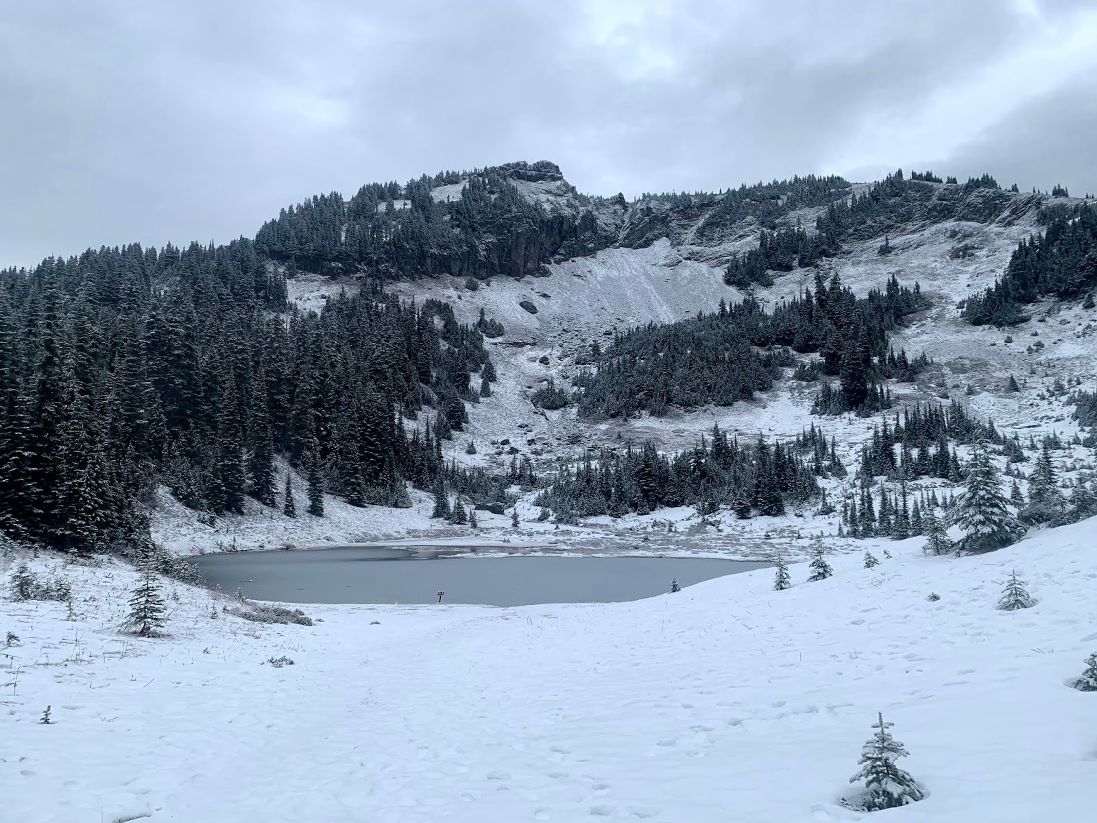
We crossed Hwy 410 for a short walk up to Upper Tipsoo Lake


View from the other side of Upper Tipsoo Lake


 We returned back to the Naches Peak Loop Trail and decided to hike counter clockwise so we could have some views of Mt Rainier before it was more covered in the gathering clouds.

zoom of Little Tahoma

As we continued around the Naches Peak Loop ?Trail we could see Mt Adams and Shriner Peak to the south.
We enjoyed stopping to turn around and see Little Tahoma shinning in the sun light as we made our way along the trail.
View of a cloud covered Mt Rainier and Little Tahoma from a pond along the trail.
so many lovely view spots to see Mt Rainier/Little Tahoma

on the back side of the Naches Peak Loop Trail we could see Seymour Peak and both Dewey Lake and Little Dewey Lake.
A short ways before joining the PCT (the way down to Dewey Lake), the Naches Peak Loop Trail leaves Mt Rainier National Park and enters the William O Douglas Wilderness in the Okanogan Wenatchee National Forest.
The only foot prints we saw on this portion of the PCT heading down towards Dewey Lake were these fresh small black bear prints.
As we got closer to Dewey Lake, the snow disappeared and we could easily see the trail that goes around the north side of Dewey Lake, we decided to take this trail and go clockwise around Dewey Lake.
view from the shore of Dewey Lake
wide angle view of Seymour Peak reflecting in Dewey Lake


Across Dewey Lake to the west, we could see Little Tahoma. We found a nice spot to sit, eat lunch and enjoy the views.


As we continued around the lake, we saw these puddles, green with what appears to be lichen.
Next to this area, the trail disappeared under knee deep mud, we ended up skirting this area.


We found the bridge over the outlet to Dewey Lake, which is on the Dewey Lake (travels between the American River to the east and the PCT to the west).


View of Little Tahoma and Dewey Lake from the bridge


We continued on a short section of this trail to rejoin the PCT on the other side of Dewey Lake
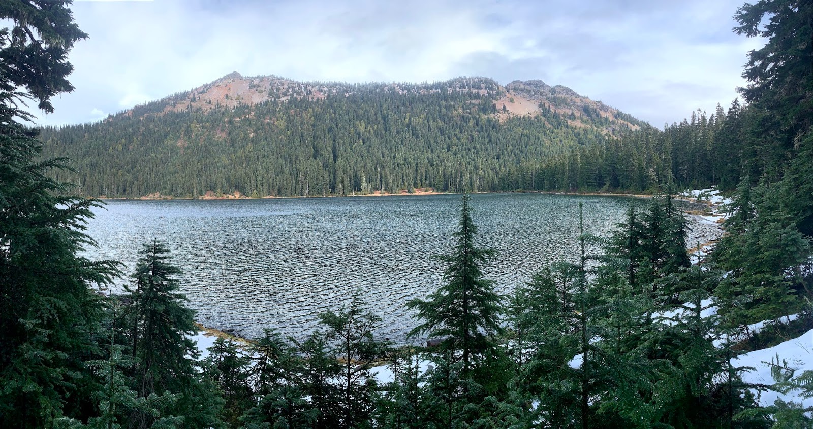
View across Dewey Lake from the PCT


The deepest snow we encountered was on the PCT along the south side of Dewey Lake, it was mostly frozen but we post holed less than 6" we the snow was softer.
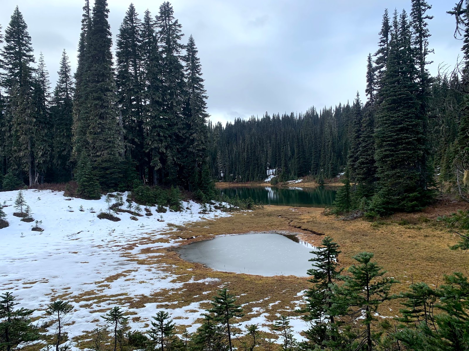


Frozen pond and view of Little Dewey Lake from the PCT.
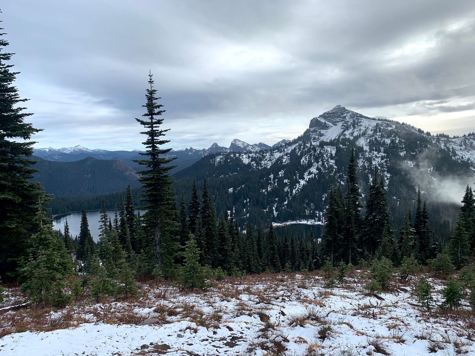
We returned up the PCT to join the Naches Peak Loop Trail. Looking back down on Dewey and Little Dewey Lakes and Seymour Peak.
small pond along the trail
As we reached the northern portion of the loop trail we saw a rainbow in the sky.
This section of the Naches Peak Loop Trail was the iciest portion, I felt more comfortable wearing micro spikes here.
Naches Peak and mountain tarn


Frozen small waterfall on Naches Peak
View of the ridge across Hwy 410 to the north, it was nice to see some fall color across the way.


View of Yakima Peak as we continued along the loop.
Once we crossed the bridge over hwy 410 on the PCT, instead of staying on the Naches Peak Loop Trail through the woods to Tipsoo Lake, we decided to walk along the shoulder of 410 for an over view of Tipsoo Lake from the highway.
Mt Rainier and Little Tahoma were now covered in clouds, but we enjoyed looking down at Tipsoo Lake.


View of Naches Peak reflecting in Tipsoo Lake in the afternoon as we returned to the trailhead, quite a bit of snow has melted from this morning.


Iron Peak

We drove out to the Teanaway to hike up to Iron Peak and had to wait for this flock of turkeys to cross the road.
The Iron Peak trailhead is on FS 9737. The hike was 7 miles round trip with 2,500 ft of gain.
The trail goes up to a saddle in a series of switchbacks. We had views of Esmeralda Peaks here.
There was a little bit of fall color,
a small stream,
lots of lovely trees,
and some interesting rock formations.


Pano to the east from the saddle by Iron Peak. The Iron Peak trail goes down the other side of the saddle and joins the Beverly Creek Trail. The boot track up to Iron Peak goes off to the right of the saddle. There was some snow patches on the way up above the saddle.

View of Mt Rainier and Mt Adams from the saddle to the southwest.
To the north we could see Mt Daniel.
As we climbed above the saddle we began to see Mount Stuart and some of the peaks in the Enchantments.
ridge heading up to Iron Peak


Pano from along the trail.

Continuing up Iron Peak
summit register on Iron Peak
Mt Rainier and Mt Adams from Iron Peak
clouds moving in between Iron Peak and Mt Rainier


Pano from Iron Peak to the west
Pano from Iron Peak to the north and east

more clouds moving in


Iron Peak in the clouds as we hiked back out