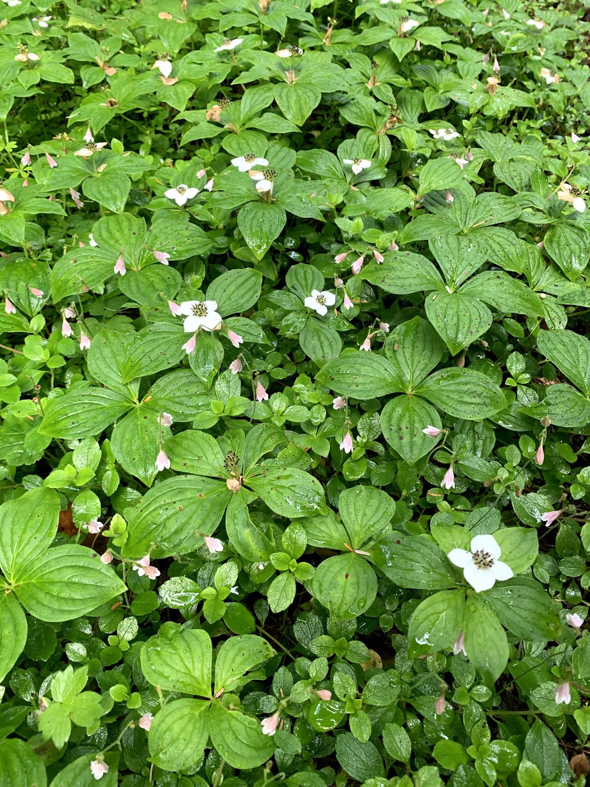
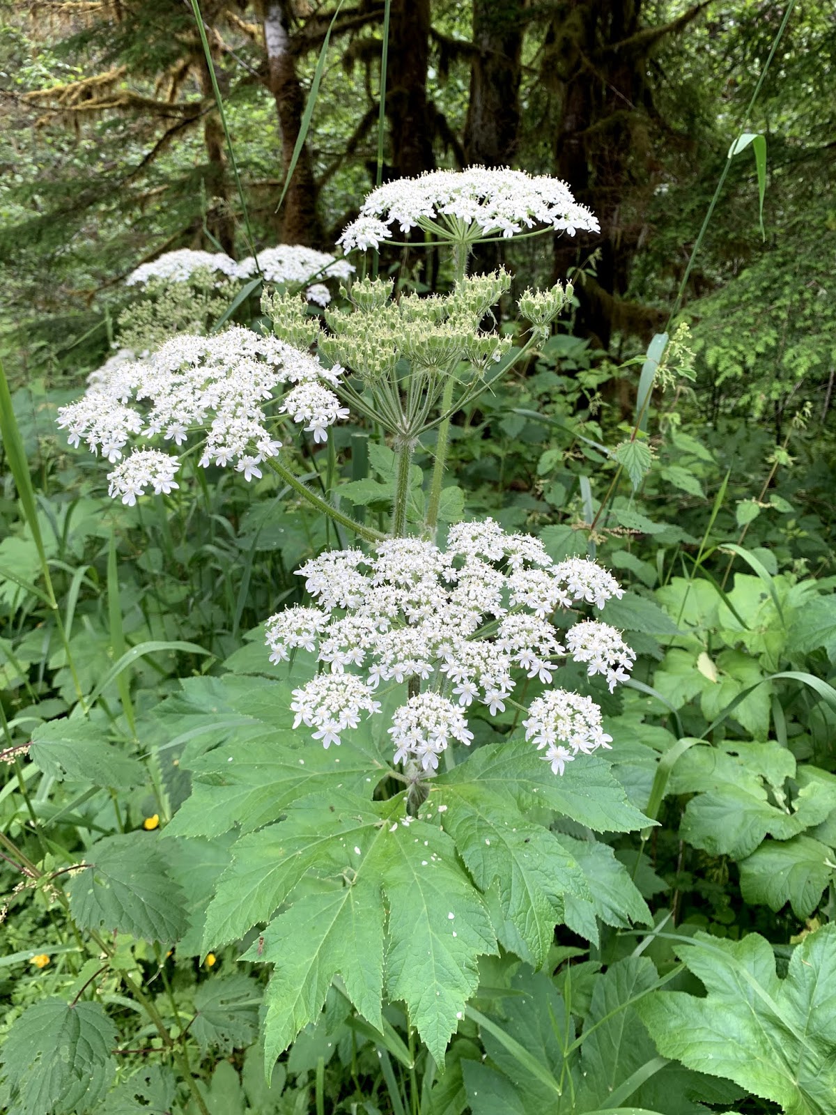
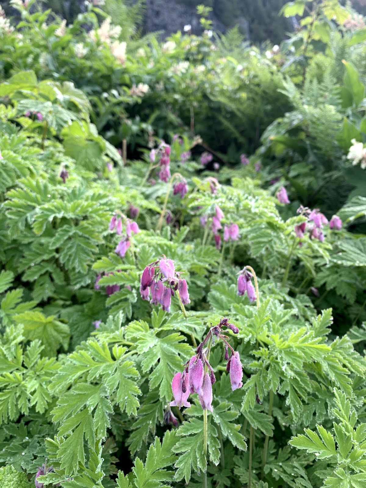
We drove up to Alpental off of I-90 at Snoqualmie Pass to hike up to Snow Lake and Gem Lake in the Alpine Lake Wilderness. This was 10.5 miles round trip with an overall elevation gain of 2,500 ft. We saw wildflowers in bloom mostly at Snow Lake and on the lower trail.
Lots of thimbleberry blossoms along the trail. Small waterfall coming off the cliff side.
The bleeding hearts were abundant.
A stream crosses this section of the trail, we were able to get across easily.
View of Bryant and Chair Peaks to the northwest.
Some beargrass in bloom.
About 2 miles from the trailhead, the trail reaches a saddle before dropping down into the Snow Lake Basin. At the saddle is a short boot path up to some boulders where we had this amazing view of Snow Lake below.
From the saddle the trail descends about 400 ft to Snow Lake, there were some nice views of Snow Lake from these switchbacks.
About 1/2 mile down from the saddle, there is a short path to the lake shore on the southeast side of Snow Lake, The water was so still in the morning, we had beautiful reflections of the mountains in the lake. Gem Lake is located above the lower ridge across Snow Lake.
Small creek and pond located near the shore of Snow Lake
This upper creek and pond is next to the trail that goes around Snow Lake.
nice views as we continued hiking around Snow Lake
a short ways further leads to this beautiful viewpoint:
The color of the lake and the reflections in Snow Lake were so gorgeous this morning.
a large log crosses above the outlet of Snow Lake
my favorite view of Snow Lake is along this log crossing:
The trail wanders up the hillside on wide switchbacks leading up to Gem Lake, at times we had nice views looking out over the Middle Fork of the Snoqualmie River Valley, seeing distant mountain peaks.
We also had lovely views of small ponds by the trail and Snow Lake below.

We could see small ice floes in the far west end of Snow Lake below us.

When you reach the large talus field, you know you are close to crossing the saddle into Gem Lake basin.
There was ice floating in Gem Lake
Wright Mountain reflecting in Gem Lake
Gem Lake was fabulously gorgeous today:
Wide angle view of Gem Lake from the north side.
We found a nice spot on the shore to sit and eat our lunch, enjoying this view.
Heading back down from Gem Lake, Snow Lake in the far distance.
small stream along the trail between Gem and Snow Lakes
some of the wildflowers we saw in bloom along the trail today: