Saturday, March 16, 2019

Lake Angeles

 Drove out to Port Angeles today to hike up to Lake Angeles. This is a 7.4 mile round trip hike with 2,350 ft of gain. The trailhead is on a short road that turns off just before the entrance station to Hurricane Ridge. Today there was a parking area plowed out a short distance before the regular parking area. There was snow the entire route. The snow was mostly packed down, so we did not bring our snowshoes. With the warmer weather, we did do some post holing as the snow is beginning to soften.
 An interesting snow formation alongside the trail.
 The trail is through the forest for the entire hike. Bridge over Ennis Creek.
 Ennis Creek
 lichen on the tree trunks
 The morning sun gave us a warm glow between the trees
 Moss lit up by the sunlight
 Lake Angeles with Klahhane Ridge. We did not walk across the frozen lake, as today"s temperature was well above freezing.
We took a nice lunch break here and had the lake to ourselves.


Pano at Lake Angeles.

On our hike back down, as the snow was deep enough to protect the meadow, we decided to cross the meadow and explore a bit.

 Decided to climb up the snow covered boulder across the meadow to see if there were some views.
The view from the boulder was so so, but 


a short ways on the other side of the boulder was this nice view.


zoom of Mt Baker and the Dungeness Spit below


 Another view from the meadow. We did not see any other hikers until after this short side trip.

Monday, March 11, 2019

Mt Si

 We drove up to North Bend this morning to hike up to the "Lunch Rocks" on Mt Is. This is about 7 miles round trip with 3,200 ft of gain. The Lunch Rocks are located about 1/4 mile after the junction with the old Si trail.  The snow/slush/ice was pretty consistent after about 1/2 mile. We were glad we brought and wore our micro spikes.
 A little dark as we began hiking up, using our headlamps to light the way.
 Lots of beautiful trees all along the trail.
 View of the Cascades to the southeast from the Lunch Rocks


We went up the Lunch Rocks for a little better view.
 We could see Mt Rainier to the south
We took a break here and had the area to ourselves. We would see many hikers headed up as we hiked back down.

close up of Mt Rainier

Sunday, March 10, 2019

Kendall Knob

 Beautiful sunny day, we hiked up to Kendall Knob (trailhead is across I-90 from Hyak at Snoqualmie Pass). This is a 7.8 mile round trip with 1,700 ft of gain. The main route was well packed, and we did not need to use our snowshoes.
We started early as the trailhead gets packed on a weekend.
View seen when crossing the bridge near the trailhead.
 The route is a closed forest service road and is mostly forested. There were some breaks in the trees where we had nice views.
Looking toward Snoqualmie West


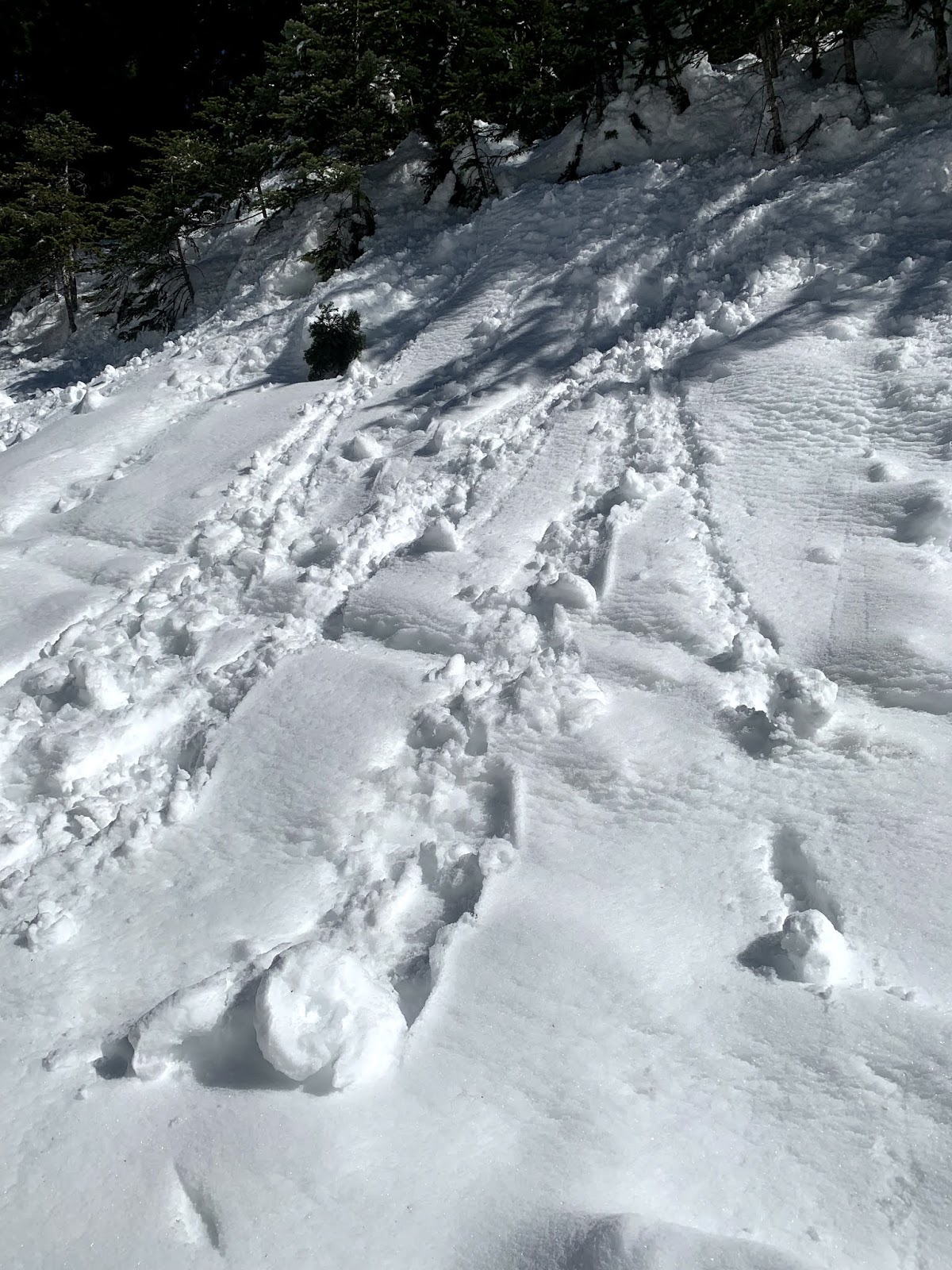
We found a short side trail where someone had left their snow cave in place.

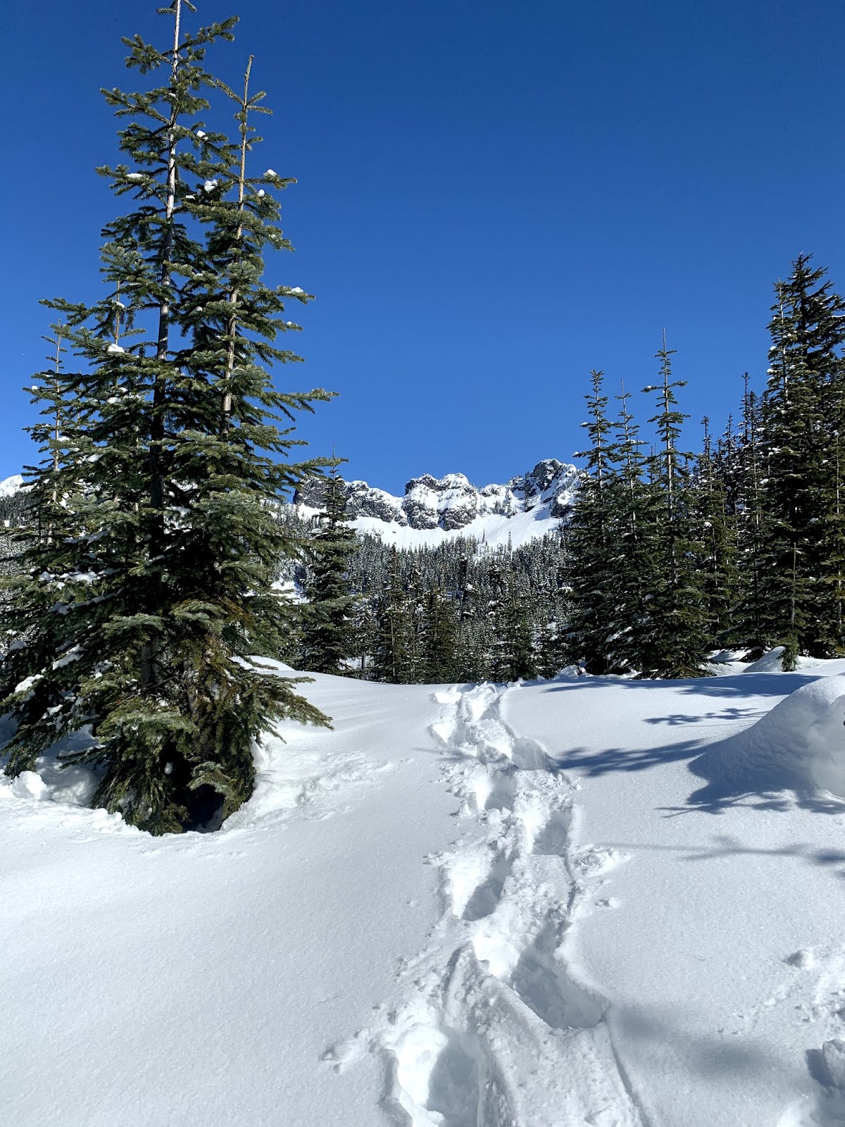
 Beautiful views, here looking towards Kendall Peaks
 Happy to see the sun rise above the mountains as it was 9F when we started hiking.

 Trail is well packed down if you stayed on the main route. Going of the packed trail, we sunk in the snow over our knees.
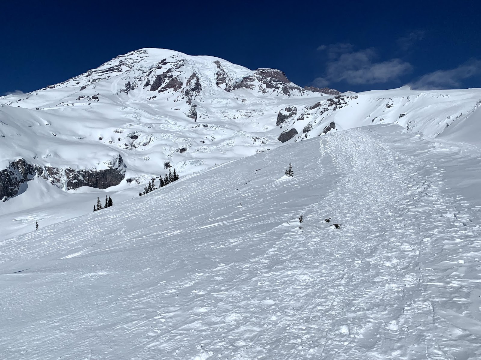
 As the trail gains elevation, we began to see Mt Rainier over the ridges at the ski area.


Pano from Kendall Knob: Rampart Ridge, Gold Creek Pond, Keechelus Lake, Mt Rainier.

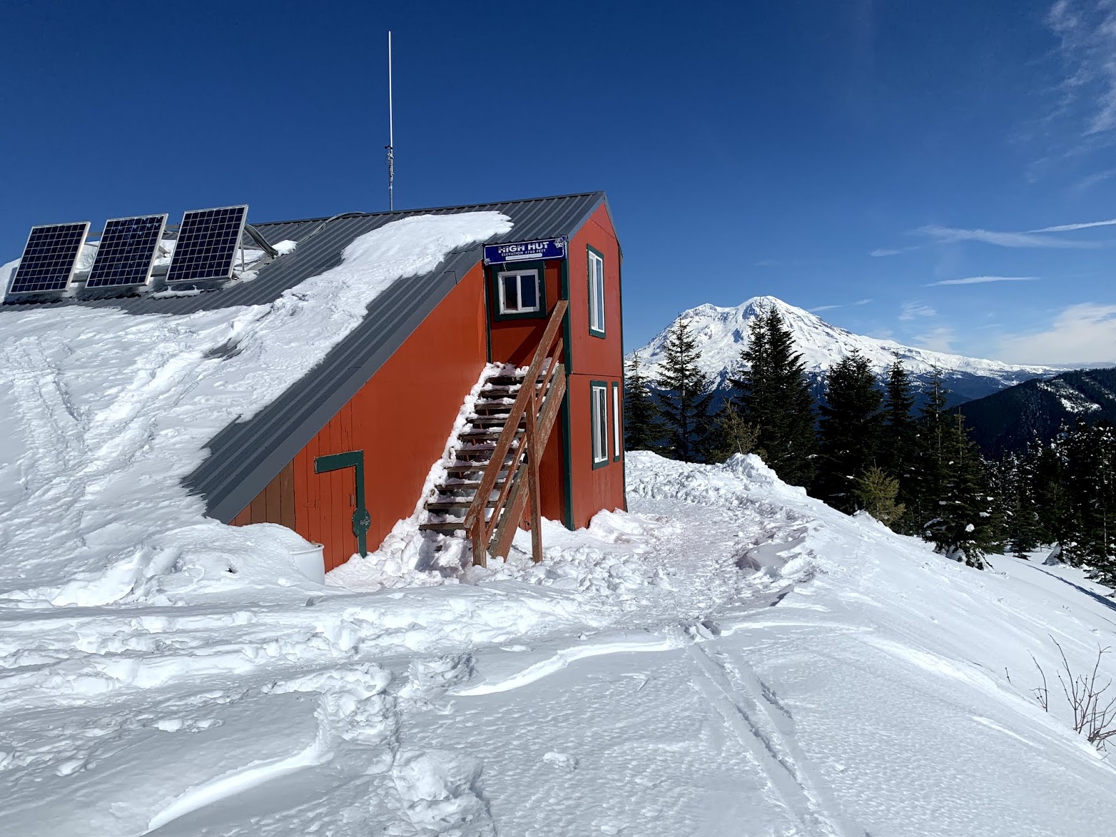
 We had Kendall Knob to ourselves for the majority of the time, taking a prolonged lunch break here.
 another view of Kendall Peaks, we opted not to hike out to Kendall Peak Lakes today
 As we returned down the trail, we could see 5 hikers high up on the snowfield of one of the peaks


some old pinwheels along the way

Tuesday, March 5, 2019

High Hut

We drove up to Ashford to hike in the south district Mt Tahoma Trail Assn area up to High Hut.  The road was open to the lower SnoPark area, making our hike an 8 mile round trip with 2,400 ft of gain. The trail was well groomed and packed down, so we did not need to use our snowshoes. As we were hiking and not skiing, we stayed to the side of the groomed area hiking in single file. The area is mostly wooded, but we did have some views of Mt Rainier along the way.


We saw some rabbit tracks off to the side of the trail.


 The views start to open up as we neared the summit.


We could see the Olympic Mounts across Puget Sound to the northwest.

 Mt St Helens (and Mt Adams) to the south.


High Hut


High Hut faces Mt Rainier.


Some icicles along the roof, it was very cold today, we were glad to go inside the warm hut to eat our lunch out of the wind.


Pano looking northwest to east: Olympic Mtns and Mt Rainier.
 Pano looking west to southeast: Mt Rainier, the Goat Rocks, Mt Adams hiding behind a smaller peak and Mt St Helens

 Another look at Mt Rainier before heading back down the trail.

 We saw this small shrew in the snow as we hiked down the trail.


So lovely to be out on a sunny winter day.

Sunday, March 3, 2019

Glacier Vista Snowshoe

Beautiful, but very cold up at Paradise in Mt Rainier National Park. We did a leisurely snowshoe, taking lots of photos and enjoying the views. From the upper parking area, we hiked up to Glacier Vista along the route towards Panorama Point, heading over Glacier Vista, then returning down via Deadhorse Creek Basin. We saw very few people along Deadhorse Creek Basin, most of the time we were alone on these slopes. Overall we did 2.5 miles with 1,100 ft of gain.
View of Mt Rainier from just above the sledding area at Paradise. The snow was well packed down.

Some of the trees were covered in icicles.
Part way up, we turned around to this marvelous view of the Tattoosh Range (Mt Adams and Mt St Helens in the far distance)


Nearing Glacier Vista


Up here, besides Mt Adams and Mt St Helens, we could also see Mt Hood in Oregon.
Wide angle view of Mt Rainier from Glacier Vista

On the way down, our route took us closer to the edge of the ridge over the Nisqually Glacier Valley. This was our view for the majority of the way snowshoeing back down.
Lovely wind swept cornices.

We found this secluded spot between two small hills where we took a lunch break out of the wind.

More icicle covered trees
Very few people head out west of the Visitor Center, but this was our view of Mt Rainier and
of the Tatoosh Range so close to the road and the Visitor Center.

On our drive down to Longmire, we stopped to enjoy the partially frozen Christine Falls. View from the side of the road.
Lower Christine Falls from the short path next to the parking turn out.