Sunday, December 18, 2016

Ranger Falls and Green Lake Snowshoe

 Drove up to the Carbon River Entrance of Mt Rainier National Park to go snowshoeing. We headed up to Ranger Falls and Green Lake a hike of about 10 miles and 1,100+ ft of elevation gain.
The first 3 miles are along the now decommissioned Carbon River Road. There was a light amount of snow on the road. This is a nice forest. Saw reflections in ponds and small streams along the road.
 There were icicles hanging from rocks.

 Nearing 3 miles, the view opens up to see the Carbon River.
 At 3 miles, there is a sign showing the side trail up to Ranger Falls and Green Lake, this is where the majority of the elevation gain is on this trail.
 View of Ranger Creek going to the Carbon River.
 There are some large downed trees that are easy to walk under on the way up to Ranger Falls (they have been this way for some time).
A mile up this trail is a short 200 ft spur trail to Ranger Falls. It was so pretty with the frozen water.
 Large icicle near the falls
 From the falls it is an additional 0.8 miles to Green Lake. Here we found more snow on the trail.
Before long, there were no more tracks to follow and the snow was deep enough that we wore our snowshoes and broke trail up to the lake.
There was one new downed tree that was low enough that we had to crawl under.
 Ranger Creek
 Log bridge over Ranger Creek

Frozen Green Lake:

There are lots of very tall trees along this trail. As the day warmed up, I saw the largest snow bomb.


Tuesday, December 13, 2016

High Hut Snowshoe

We headed up to Ashford and the South District MTTA trail to High Hut. Only the lower Sno-Park lot was open today. Our hike was about 8 miles round trip with 2,400 ft elevation gain. This was my 3rd trip here, and the first time I had views of Mt Rainier, Mt Adams and Mt St Helens, a great day!
 The trail is on old forest roads. so is easy to follow even when covered in snow.  There had fresh snow since the last time the trail had been groomed.  We didn't need to use our snowshoes until we passed the gate at the upper Sno-Park. Then we found some tracks to follow until the turn off to Snow Bowl Hut at 1.5 miles from High Hut, where we broke trail to the top.

 As the trail rose in elevation, we had a brief glimpse of Mt Rainier through the trees, before the clouds started to move in.

 Further up the trail, we could see across the valley towards Ashford, and in the far distance, the Olympic mountains.

 The snow covered trees and the fresh snow created a winter wonderland.
 Looking back down the trail as we neared the top.
 We were happy to see Mt Rainier in view behind High hut.
Panoram from the other side of High Hut

To the south we could see part of Mt Adams peeking behind a smaller peak.
Icicles hanging from the eave of High hut.


 View of Mt Rainier from the upper balcony of High hut.


 After a nice lunch break in the hut, we headed back down the trail, it looked like our hike would be in the clouds.
 The snow covered trees were beautiful.
 As we continued down the trail, we could see the clouds moving around.

 This trail has lots of twists and turns giving us different views Here we could see Mt Adams to the south of Snow Bowl hut.
 And further down, Mt St Helens peeking behind a hill.
We watched the sun go down, changing the colors of the sky.

 There was a fun hill with a funny "face" on the side.

 As the trail continued to turn, we had another view of Mt Rainier.

Tuesday, November 29, 2016

Narada Falls to Reflection Lake and Mazama Ridge Snowshoe

 Decided to head up to Mt Rainier National Park to go snowshoeing after the recent snowfall. We started at the Narada Falls parking lot went to Reflection Lakes then up to wander around Mazama Ridge for a while. Probably hiked about 4.5-5 miles with 800-900 ft of elevation gain.
We were the first ones on the trail today. We could see the indentation in the snow for the trail that was between Narada Falls and Reflection Lakes.
 Small falls on the Paradise River
 The Paradise River is beautiful in the snow.
Another small water fall along the Paradise River, this one is just before the trail joins the Stevens Canyon Road.

The avalanche risk was moderate today, and the snow minimal on the slopes above the Stevens Canyon Road, so on the way to Reflection Lakes, we followed the road.  Here looking down to Narada Falls and the parking area below.
Pano at Reflection Lakes. This morning Mt Rainier was hiding behind the clouds.

 We saw several birds in the snow covered trees.

 We hit the Lakes Trail through the woods from Reflection Lakes the trail was covered in fresh snow but the trail could be seen from an indentation in the snow. However, when we turned up toward Mazama Ridge there was no indication of the High Lake Trail. We had fun exploring and breaking trail. Not sure where we ended up on Mazama Ridge.
Before our turn around time, we found a nice open area to sit and enjoy lunch:
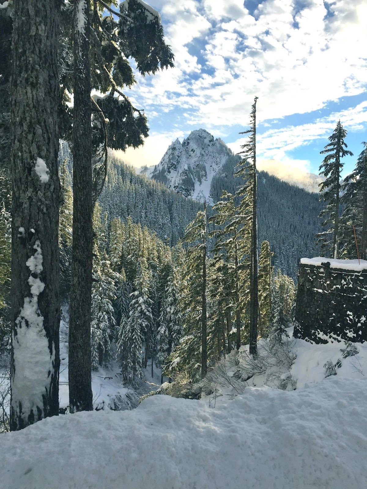
 Before we turned around, the clouds began to lift and we could see the Tatoosh Range to the south.

 As we followed our tracks and snowshoed back towards the Lakes Trail, we could see the clouds continuing to lift,
 and had distant views of Peaks and
 of Mt Rainier.
 Lovely snow today.

 Back at the Narada Falls Parking lot, we could see Eagle Peak


Took the short hike down to the viewpoint below Narada Falls.


View of the Paradise River above Narada Falls