
 This morning we drove up to Tioga Pass, the eastern entrance to Yosemite National Park to hike up to the Gaylord Lakes, around each one, and a bit above to the mine ruins. Overall our hike was 4.5 miles with 1,100 ft gain. This was a beautiful hike, we didn't see anyone else on the trail until we were back down at Middle Gaylord Lake.
 The trail climbs 600 ft in 0.4 miles up to a ridge, here the view towards the southeast of other peaks in Yosemite,
 and a view to the west of Middle Gaylord Lake.
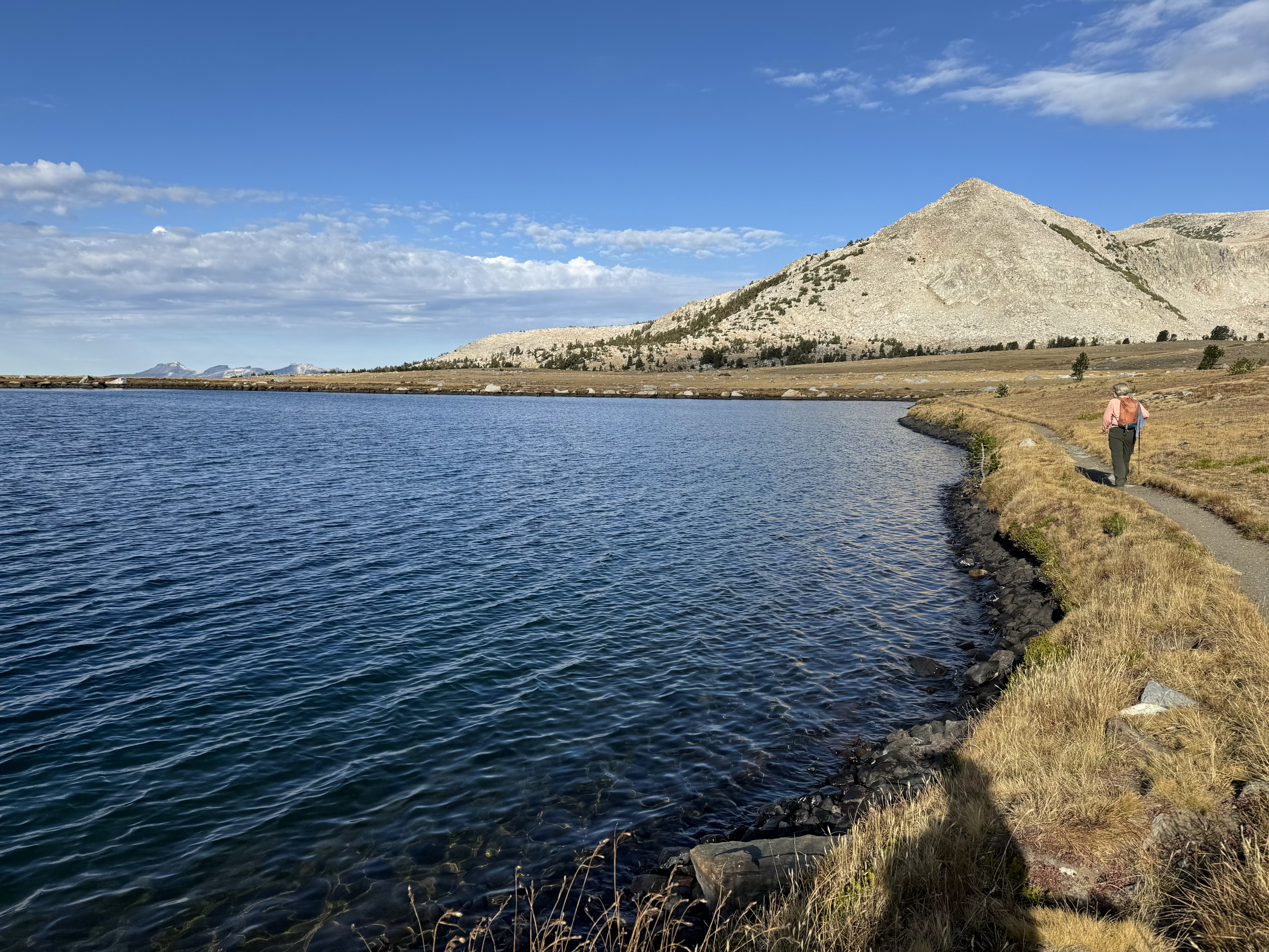
 We descended about 200 ft down to Middle Gaylord Lake and began to hike counterclockwise part way around this lake.
Views around Middle Gaylord Lake

 zoom of some of the Yosemite Peaks across the lake in the far distance.
 We then took the trail up to Upper Gaylord Lake,
  Looking back at the peaks in the distance.
 We hiked up past Gaylord Peak
 We also hiked counterclockwise around Upper Gaylord Lake, here are some views


 About half way around the lake, we hiked up the trail towards the ruins, some views looking around as we went up.
 First of the ruins
 view through a window in the ruins, looking back down at Gaylord Peak and Gaylord Lakes
 We continued up the trail to see more of the ruins and the surrounding area.


 This is probably a mine shaft. We were at 10.800 ft up here.
 Looking down in the opposite direction of the Gaylord Lakes
 We then hiked back down to Upper Gaylord Lake,
 and continued to circle the lake.
 Last look at Upper Gaylord Lake
 Hiking back down to Middle Gaylord Lake
 Views as we continued the loop around Middle Gaylord Lake


We then hiked back to the ridge and down to the trailhead. Views looking down from the ridge to the south and Mount Dana across Tioga Pass.

No comments:
Post a Comment