We drove up to the Hummocks Trailhead at Mt St Helens Volcanic National Monument to hike up to Johnston Ridge, about 10 miles round trip with 1,900 ft of gain. We had the trail to ourselves until after we reached the Observatory on Johnston Ridge.View of Mt St Helens reflecting in the window at the Observatory on Johnston Ridge.
 We took the short 0.9 mile leg of the Hummocks Loop Trail to the Boundary Trail. A couple of ponds were along the trail.
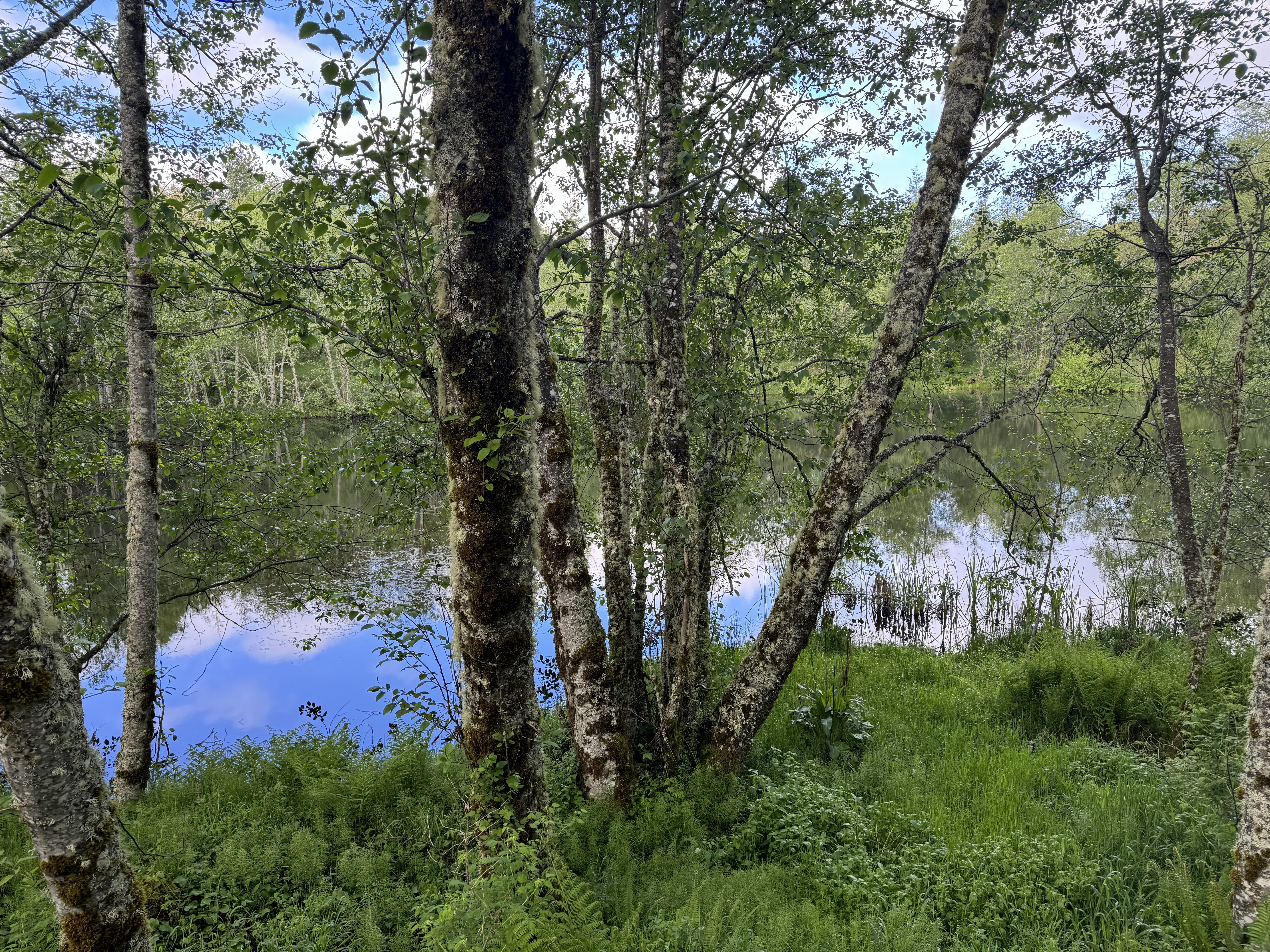
 View of Mt St Helens from the start of the Boundary Trail at the far end of the Hummocks Loop.
 Views of Mt St Helens as we hiked up the Boundary Trail.

 Ground squirrel near the trail.
 View from the Lowest Viewpoint:
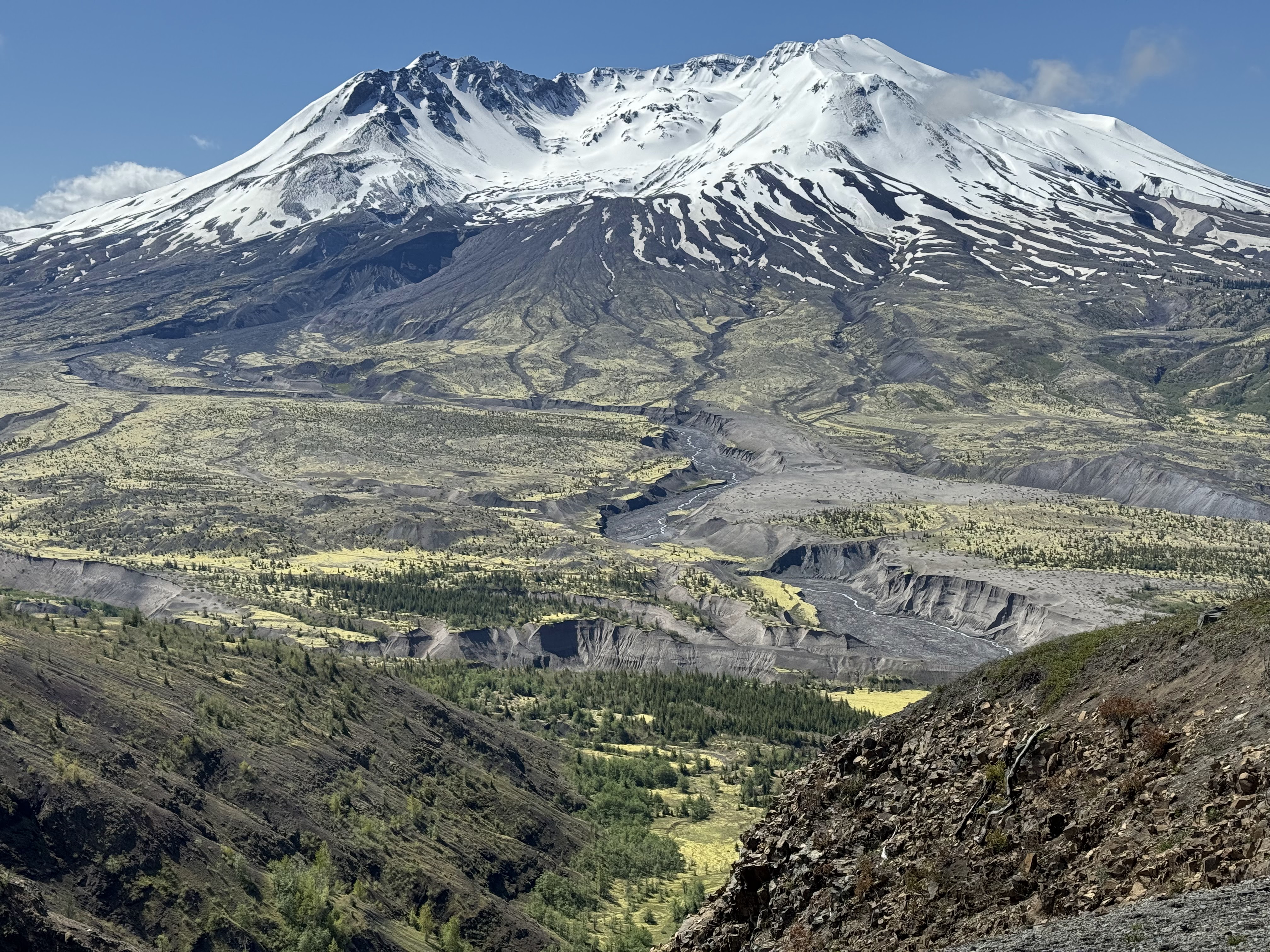 View from near the Observatory on Johnston Ridge
 Mountain goats seen below the observatory (all zoom photos):


 View near the Observatory:
 zoom looking into the crater
 We had some great views on our hike back down the trail, before the clouds moved in
 Looking back at the Lowest Viewpoint and in the distance to Coldwater Peak.
 looking east to the top of Mt Adams behind another ridge
 zoom of Mt Adams
 view towards Coldwater Lake
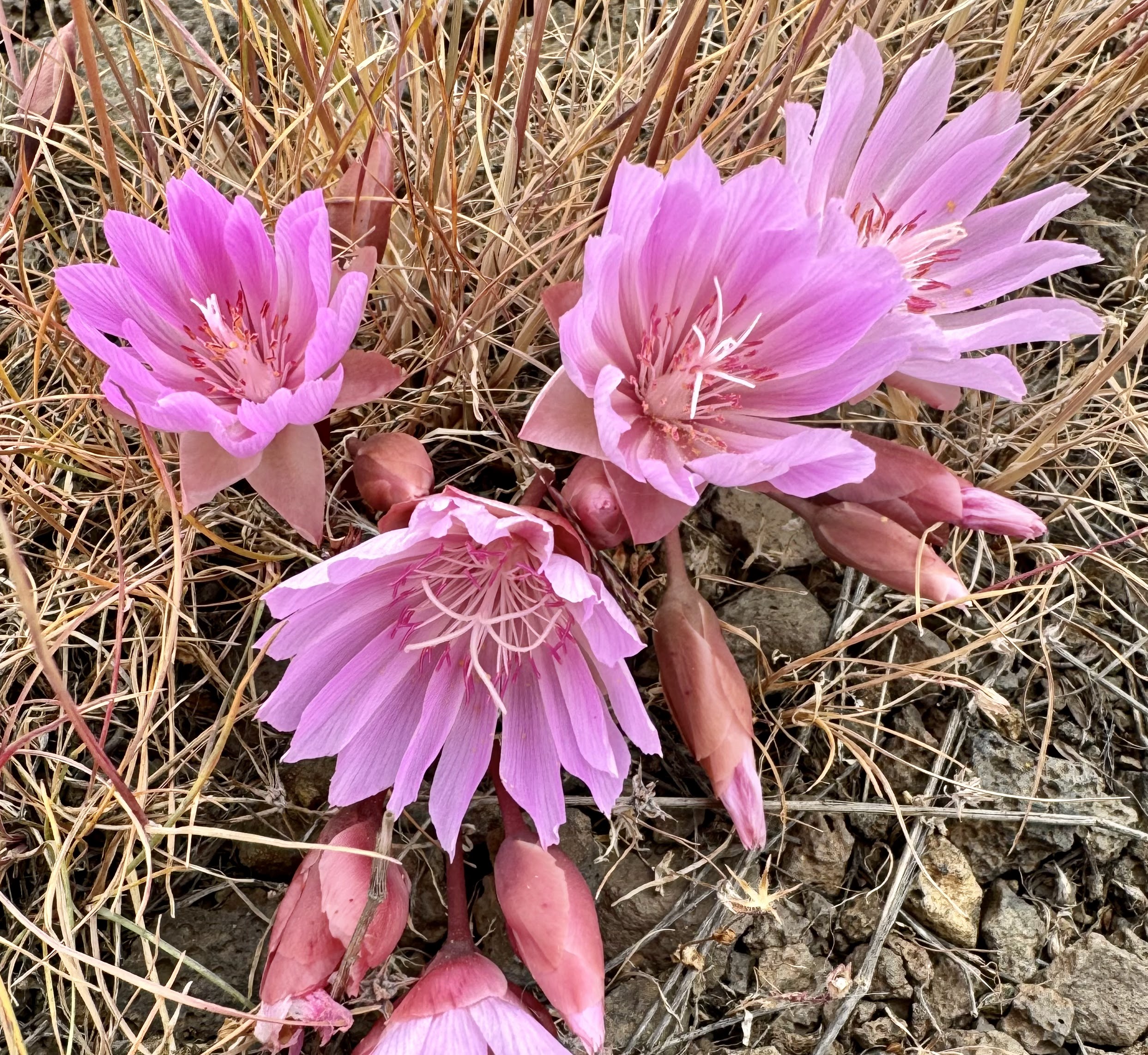
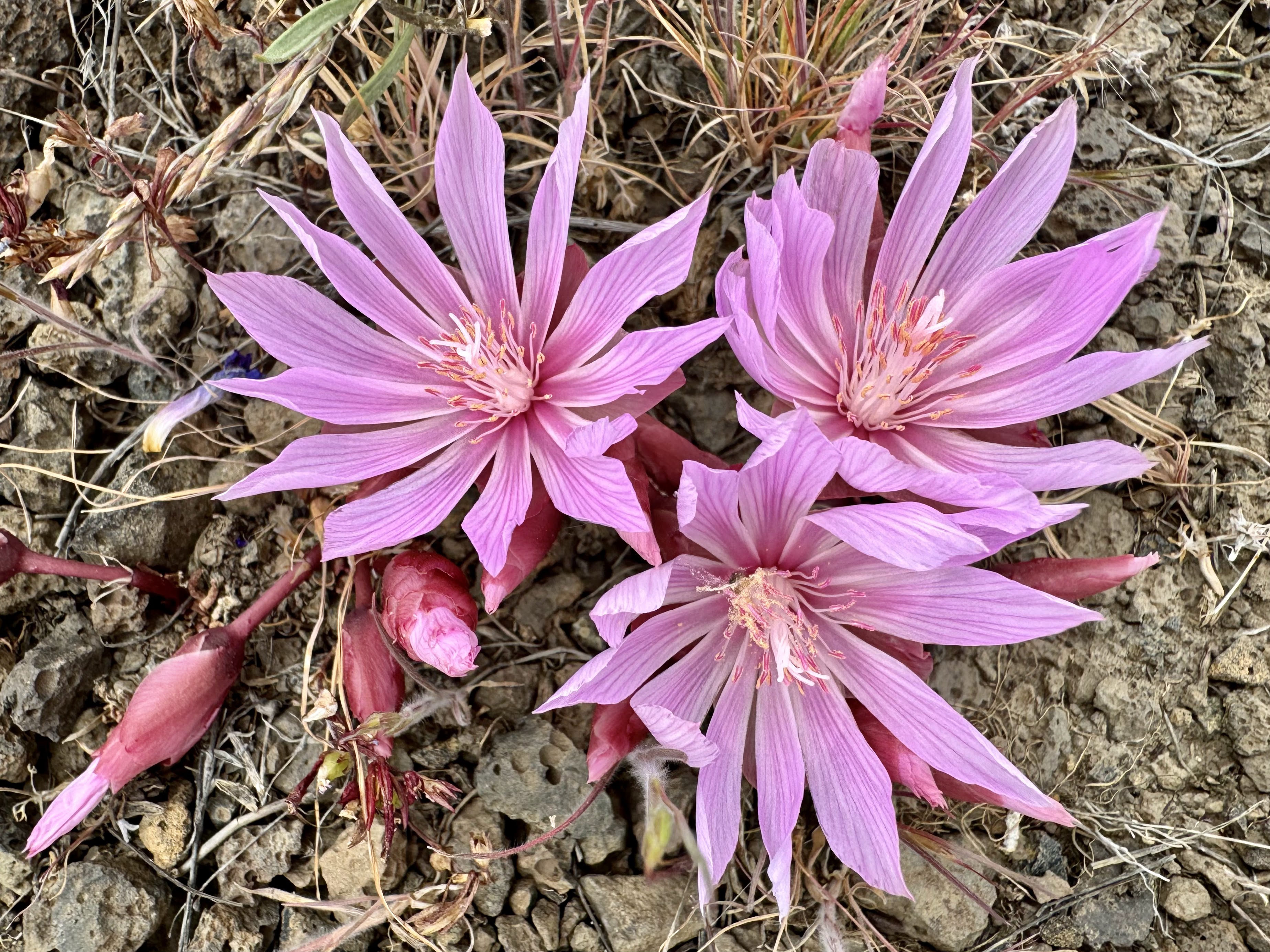
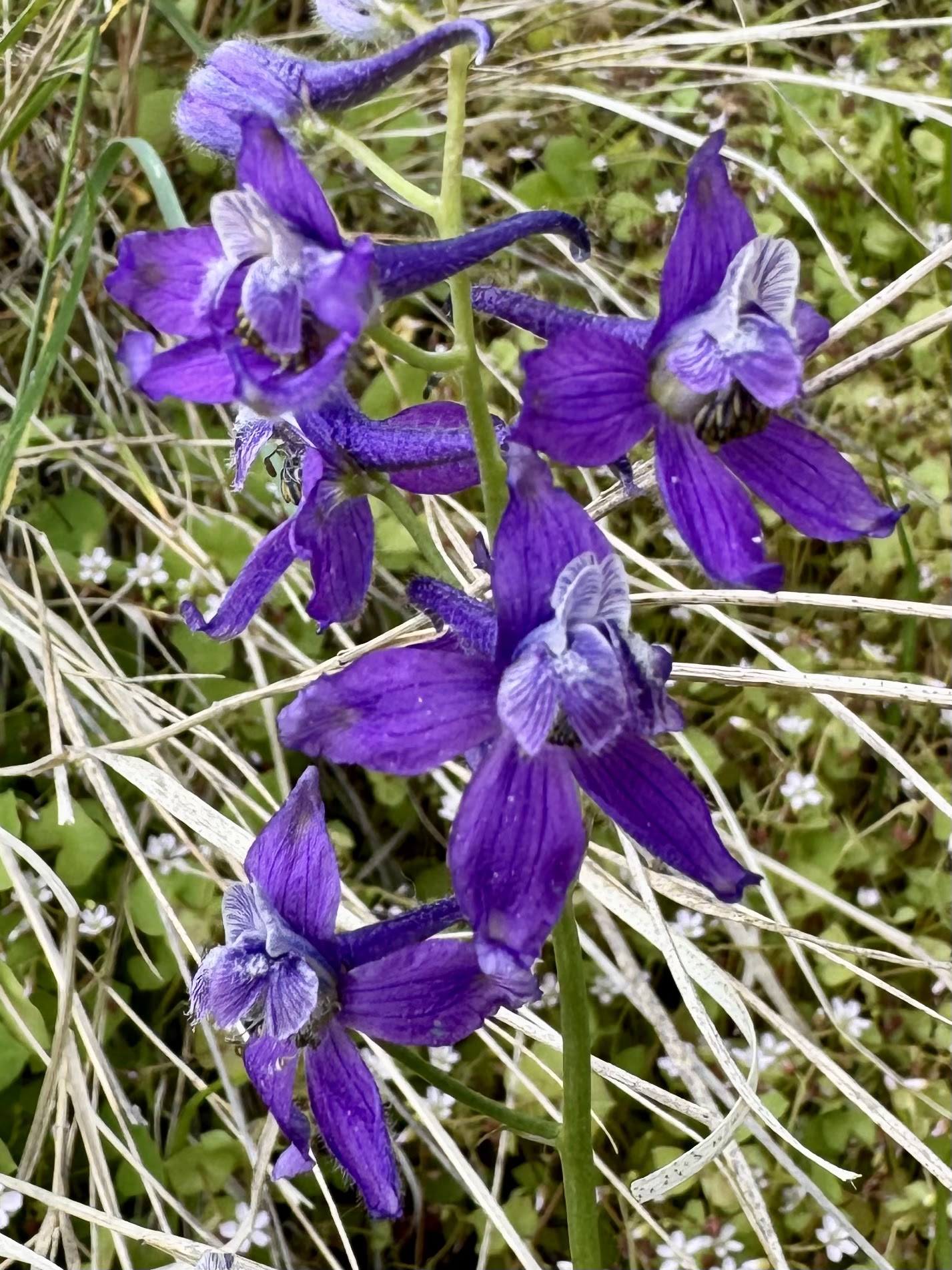
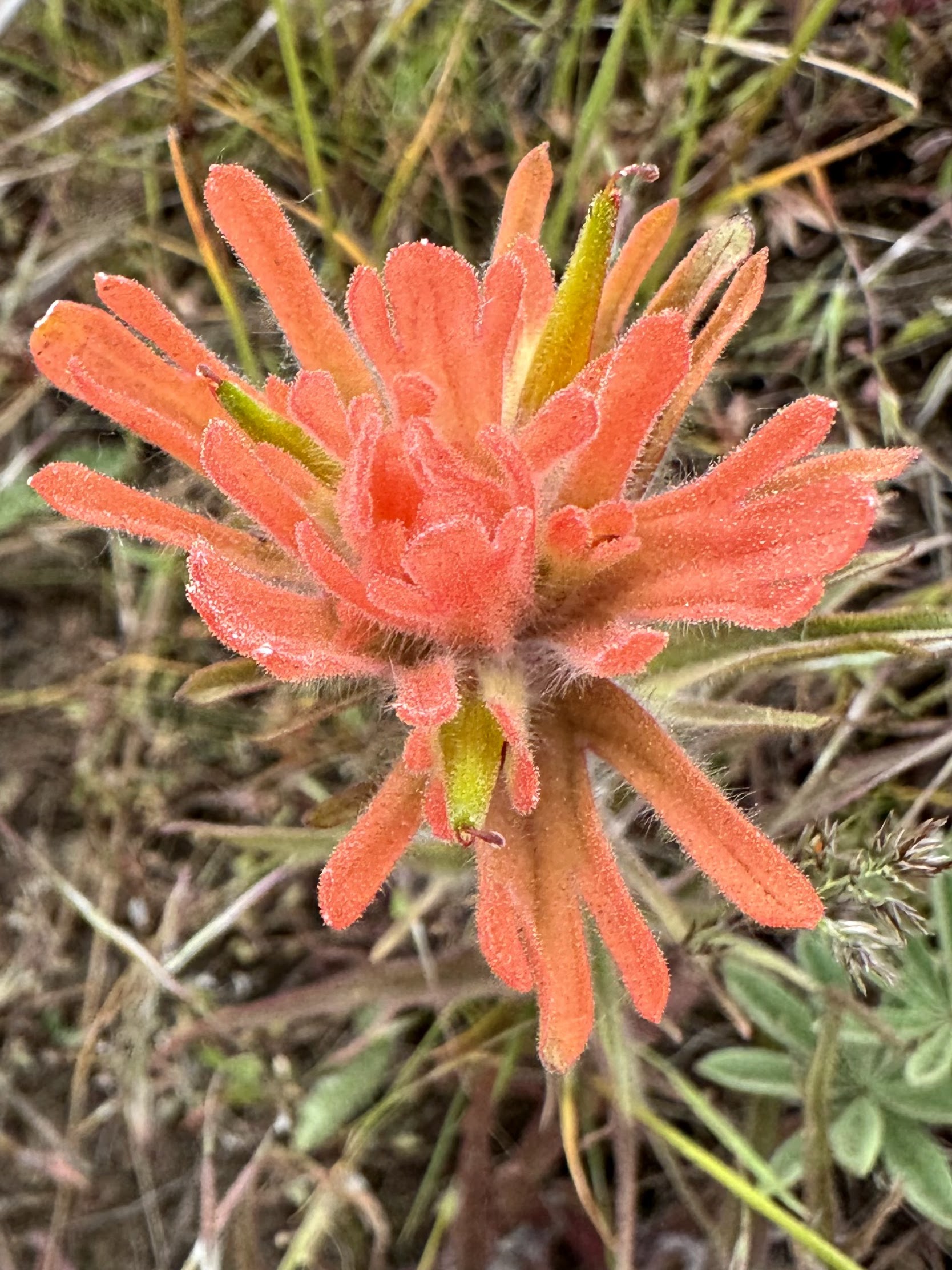
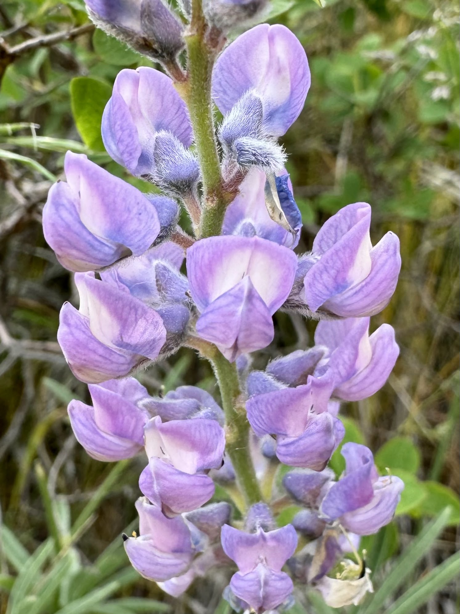
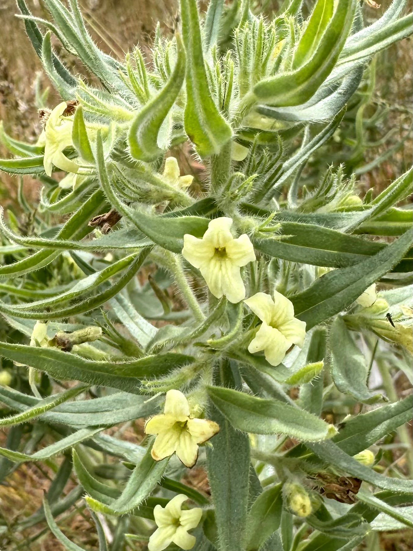
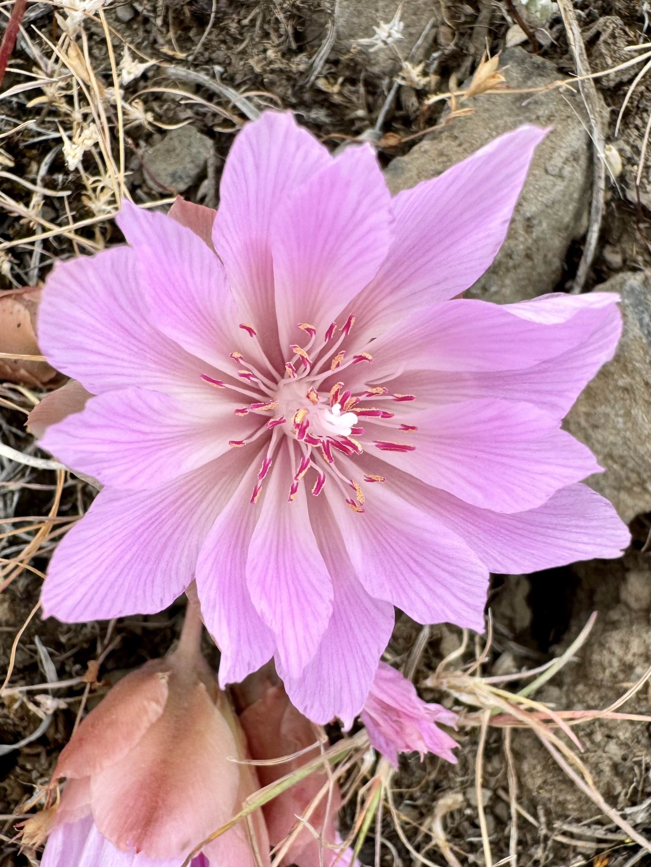
some of the wildflowers seen along the trail today: