
 We drove to the Eagle Peak Trailhead at Longmire in Mt Rainier National Park to hike up to Eagle Peak Saddle, 7 miles round trip with 2,950 ft of gain. We had the trail to ourselves soon the way up and saw 4 other hikers when we were coming back down the trail. A very quiet day.
 The trailhead is across the Nisqually River from Longmire, it was very cloudy when we started our hike.
 The majority of the trail is in a luscious forest.
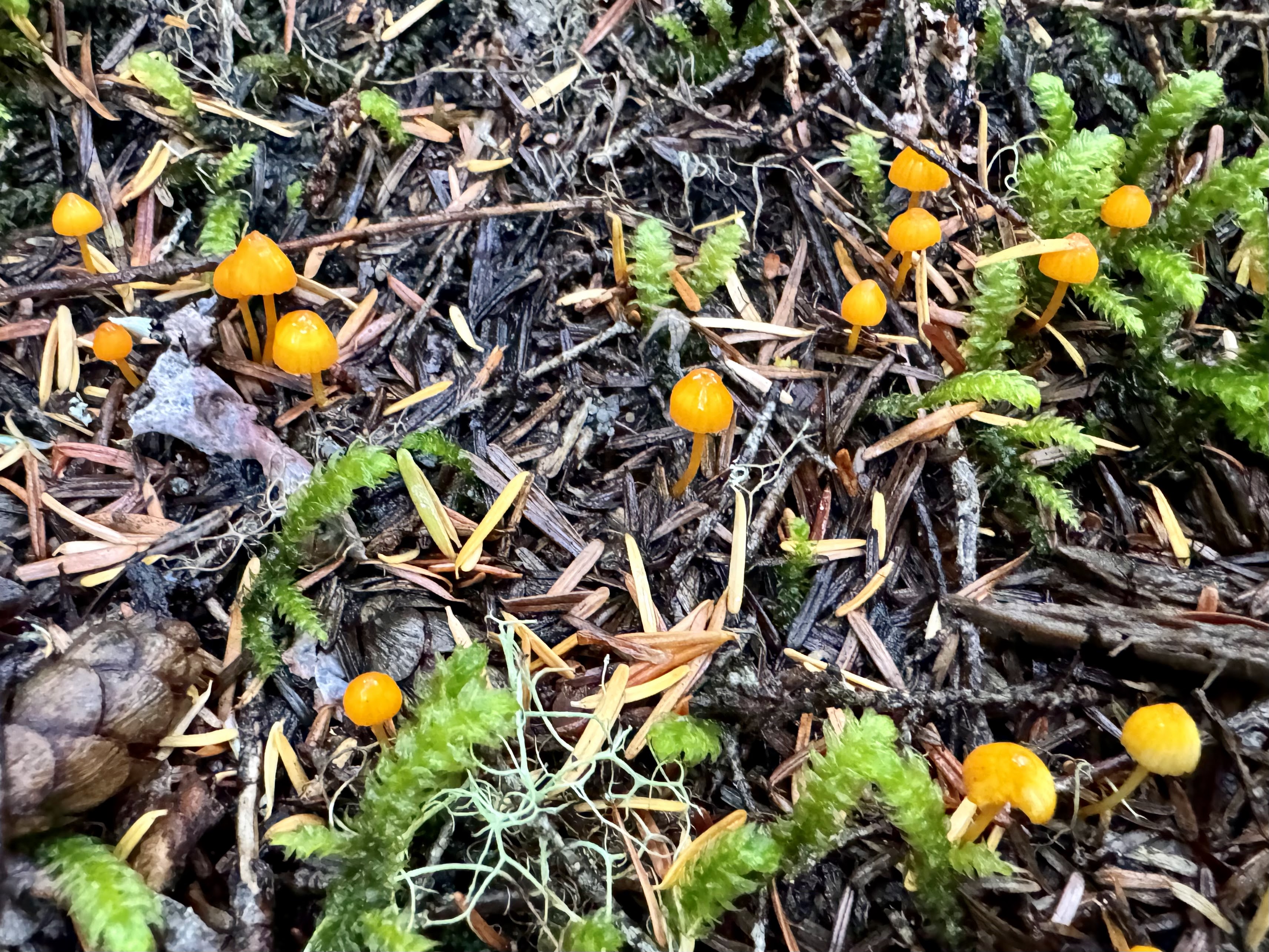
 The ground is covered with moss, plants and many fungi beneath the trees.
 A snail on the trail.
 As we continued hiking up through the forest it felt as the clouds were beginning to thin above us.
 We saw some patches of blue sky up above the trees.
 Lovely boulder with moss and trees growing on top.
 Further up the trail, we saw sun beams breading through the light fog.

 The clouds seemed thinner as we crossed the scree field around 5,000 ft.
 The trail re entered the woods as it continued upwards.
 Blue skies as we neared Eagle Peak.
 As the trail neared the top of the trail and crossed a high meadow, we found ourselves mostly above the clouds.
 Mountain ridges to the west
 In the meadow were soggy wildflowers, most going to seed and lots of huckleberries!
 To the south, between the clouds we saw Mt Adams and a very distant hazy Mt Hood
zoom of Mt Adams

 We also saw part of Mt St Helens through the clouds (zoom)
 At the saddle we had a great view of the top of Eagle Peak and Mt Rainier behind the peak.
 We continued east a short ways along the boot track that passes the end of the "maintained trail".
 To the east was Chutla Peak, and more distant (to the left) were Lane, Pinnacle and Plummer Peaks.
 We found a place to enjoy the better view of Mt Rainier in the sun and take a long lunch break.
 partial zoom of Mt Rainier
 zoom of what looks like Comet Falls below us to the northwest
 We hiked back down under blue skies.
 Back at the trailhead, Mt Rainier was mostly hidden by clouds.
Some of the wildflowers (some gone to seed), berries and fungi we saw along the trail today:


No comments:
Post a Comment