
 We drove to the end of the Everett Memorial Highway on the south side of Mt Shasta to hike from the Old Ski Bowl Trailhead. We went up the Old Ski Bowl Trail and continued up the Green Butte Trail to 9.270 ft, we returned on the Green Butte Trail, for 4 miles and 1,400 ft of gain. We were surprised that we didn't see anyone else on these trails this morning. View from the trailhead
 Lupine in bloom with a view of Green Butte
  views to the south
 The Old Ski Bowl Trail was the short steep section of the loop, being closer to Green Butte.
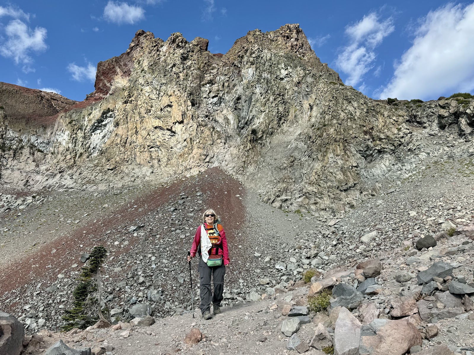
 Green Butte on the left, Mt Shasta to the right
zoom 

 hiking up along the side of Green Butte


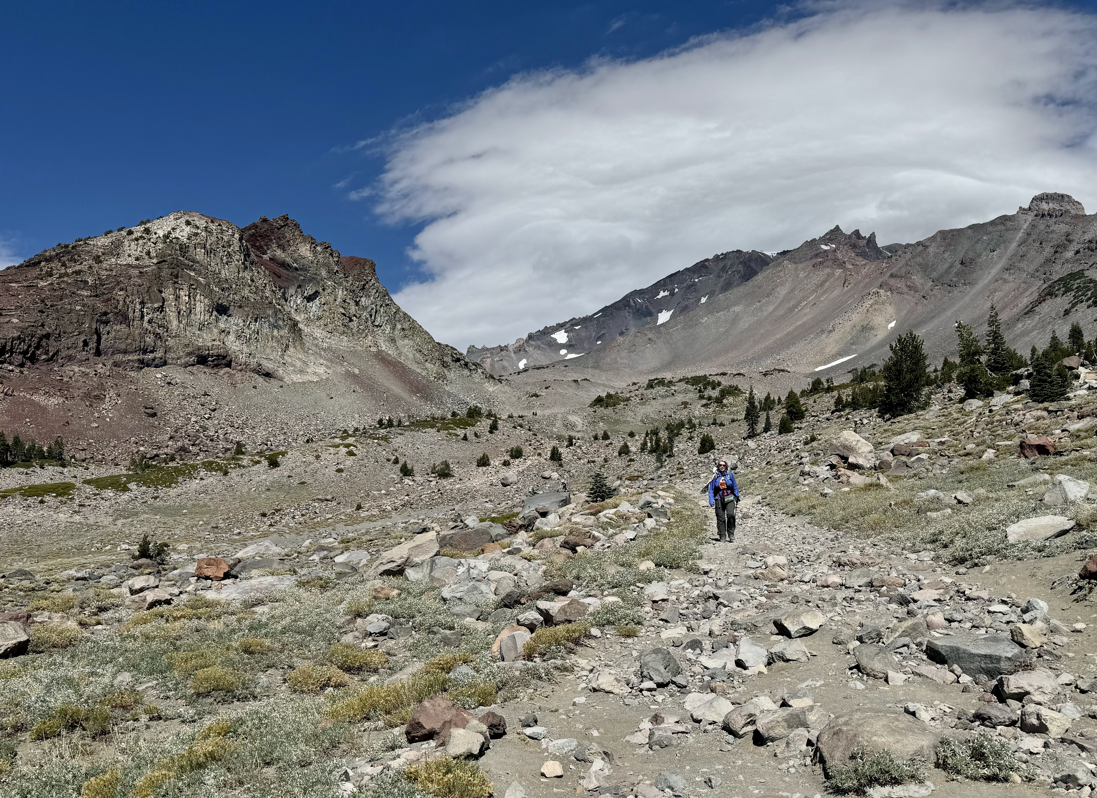
 Hiking up past Green Butte, we watched the clouds come down over Mt Shasta
 views back to the south
 The trail continued up above Green Butte towards Green Butte Ridge

zoom
 Casaval Ridge on the left side
 continuing up the trail
 View of Mt Shasta from our lunch and turn around spot
 zoom

more zoom

 zoom
zoom There were different colored pumice
squirrel

 Views as we hiked back down the trail
 Looking across the bowl towards Green Butte from the lower Green Butte Trail


Red Butte

 more clouds gathering over Mt Shasta as we neared the end of the trail
some of the wildflowers seen along the trail this morning:


No comments:
Post a Comment