

Before leaving the Eastern Sierras, we were able to do a short hike this morning from the Onion Valley Trailhead: Robinson Lake, 3.5 miles round trip with about 1,400 ft of gain
 View of the area we are hiking to as seen from the parking lot.
 The trail is about 0.25 miles from the parking area,
 and is in the far side of the campground.
 We soon crossed a creek on some logs,
 and entered the John Muir Wilderness.
 mountain views along the trail
 Manzanita in bloom
 Mountains across the valley
 There were a couple of small snow patches on the trail today.
 Most of the trail was steep.
 View on entering the lake basin
Robinson Lake from the north shore
 We were able to hike around the lake, by doing some route finding and some boulder scrambling. View from the southeast shore
 mountains on the south side of the lake
 Boulders make nice viewpoints
 another small snow field to cross among the boulders
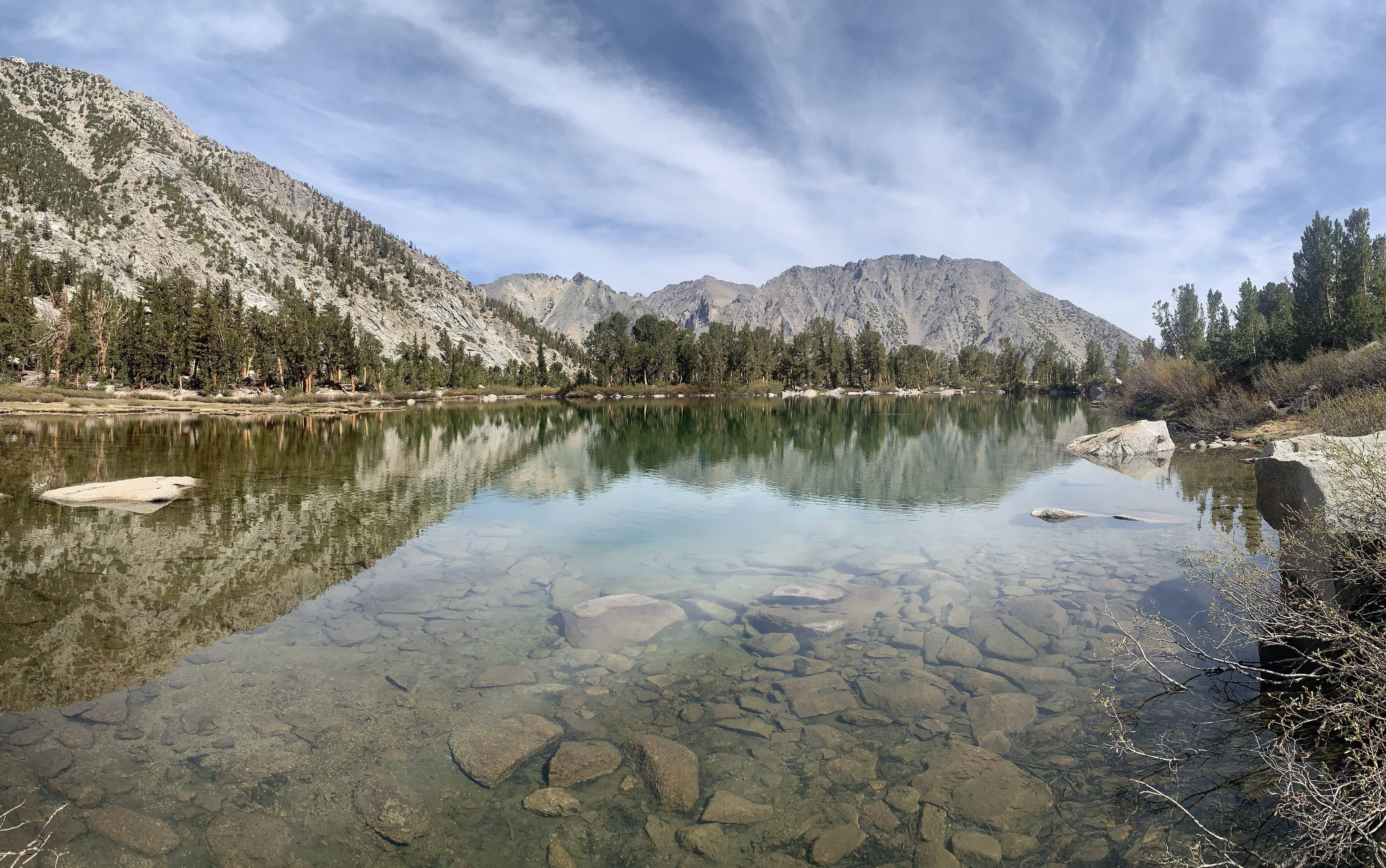 View from the south shore
 from the southwest shore
 view form crossing the inlet along the west side
 beautiful tall trees near the lake
 view from the northwest shore
 Heading back down the trail and looking across the valley
some of the wildflowers along the trail today:


No comments:
Post a Comment