
 We drove up to the Bishop Pass Trailhead to hike up to Bishop Lake along the Bishop Pass Trail. About 8.5 miles round trip with 1,500 ft of overall gain.
 View from near the trailhead
 The trail goes along the east side of South Lake, before going up, and
 enters the John Muir Wilderness about 0.7 miles from the trailhead.
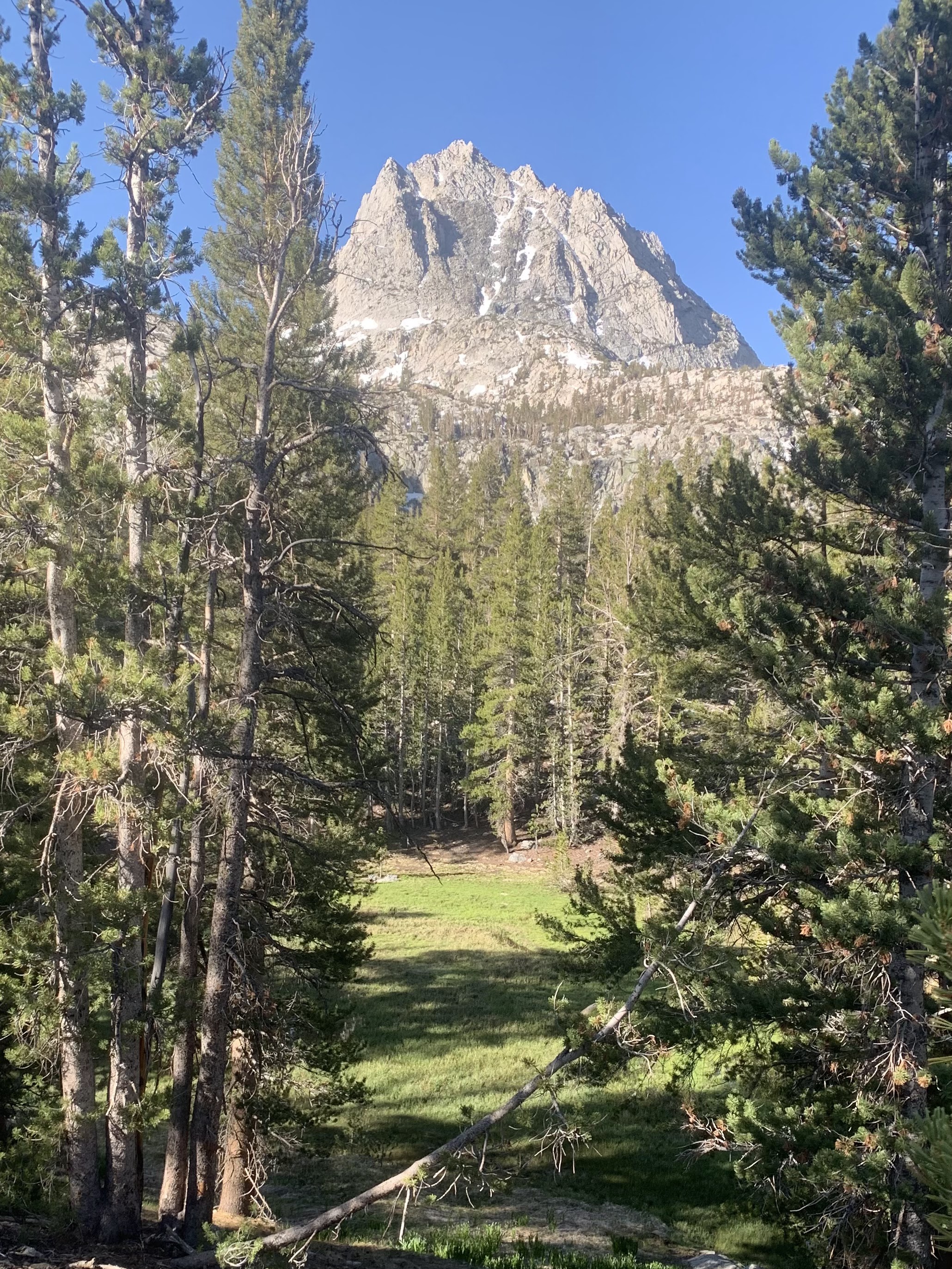 After leaving South Lake, the trail is mostly in the forest with occasional views, until reaching Long Lake about 2 miles from the trailhead.
 Initial view of Long Lake
 Wallflowers and Hurd Peak near Long Lake
 The trail continues along the east side of Long Lake, with lovely views.
 The trail occasionally departs from the lakeshore before returning with new views.


 view from the south end of Long Lake
 The trail next goes above Spearhead Lake,
 gaining elevation on the way to the Timberline Tarns.
 Looking back along the trail to Spearhead Lake and Long Lake.
 The first of several snow fields along the trail. All had well worn foot steps.
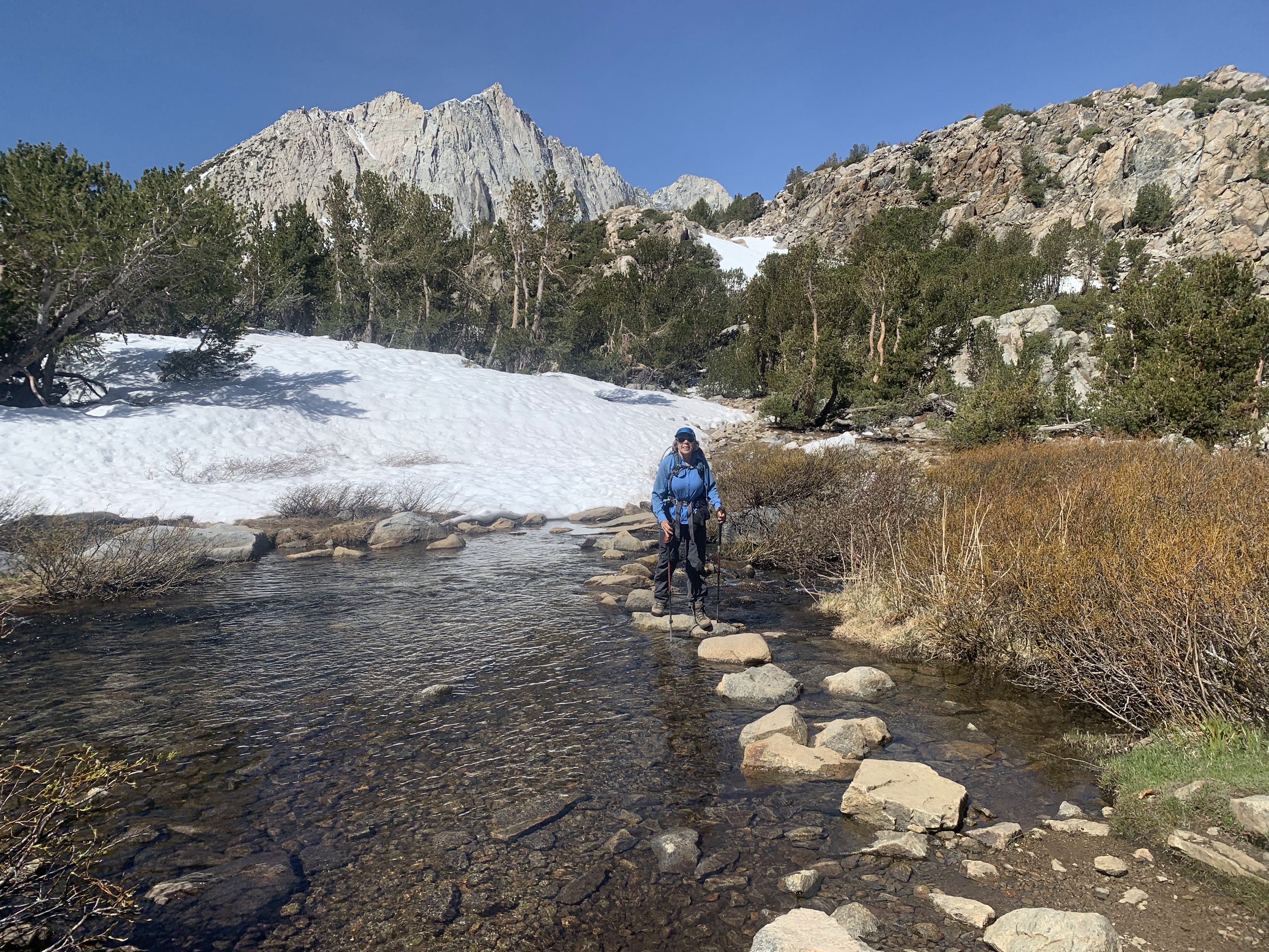 Stones helped us cross the outlet below the Timberline Tarns.
 views of one of the Timberline Tarns
 Waterfall between Saddlerock Lake and the Timberline Tarns
 View from above the waterfall looking back at one of the Timberline Tarns
Panos at Saddlerock Lake with Mount Goode in the background


 Mount Agassiz in the distance as we hiked towards Bishop Lake
 another snowfield
  About 4.25 miles from the trailhead, we left the Bishop Pass Trail,
and took a spur trail to Bishop Lake.
 some views at Bishop Lake, where we took a lunch break

We enjoyed the trail back down, with views of the lakes we had already passed in front of us as we descend down the trail.
 Saddlerock Lake
 above the Timberline Tarns
 Spearhead Lake and Long Lake
 various views at Long Lake

 squirrel near Long Lake
some of the wildflowers seen along the trail today:


No comments:
Post a Comment