
 I drove up the forest roads past Mineral Springs Campground off of Highway 97 to hike up to Red Top Lookout. To the lookout and back is less than a mile, so I did the loop around and up the lookout for 1 mile and 240 ft of gain. Red Top Lookout as seen near the parking area. I did not see anyone while I was hiking this morning. The bitterroot were not in bloom, but I saw some other wildflowers.
Near the parking area to the west is a boot path where I found this view and balsamroot in bloom.

 Sign marking the trails, I went to the left and did the loop clockwise.
 View of the lookout from near the top.
 Lookout from near the end of the trail. The lookout was locked and not manned this morning.
 lookout from the other side
 sign the lookout
 view of the Stuart Range to the north
 zoom of a cloudy Mount Stuart
 view to the west
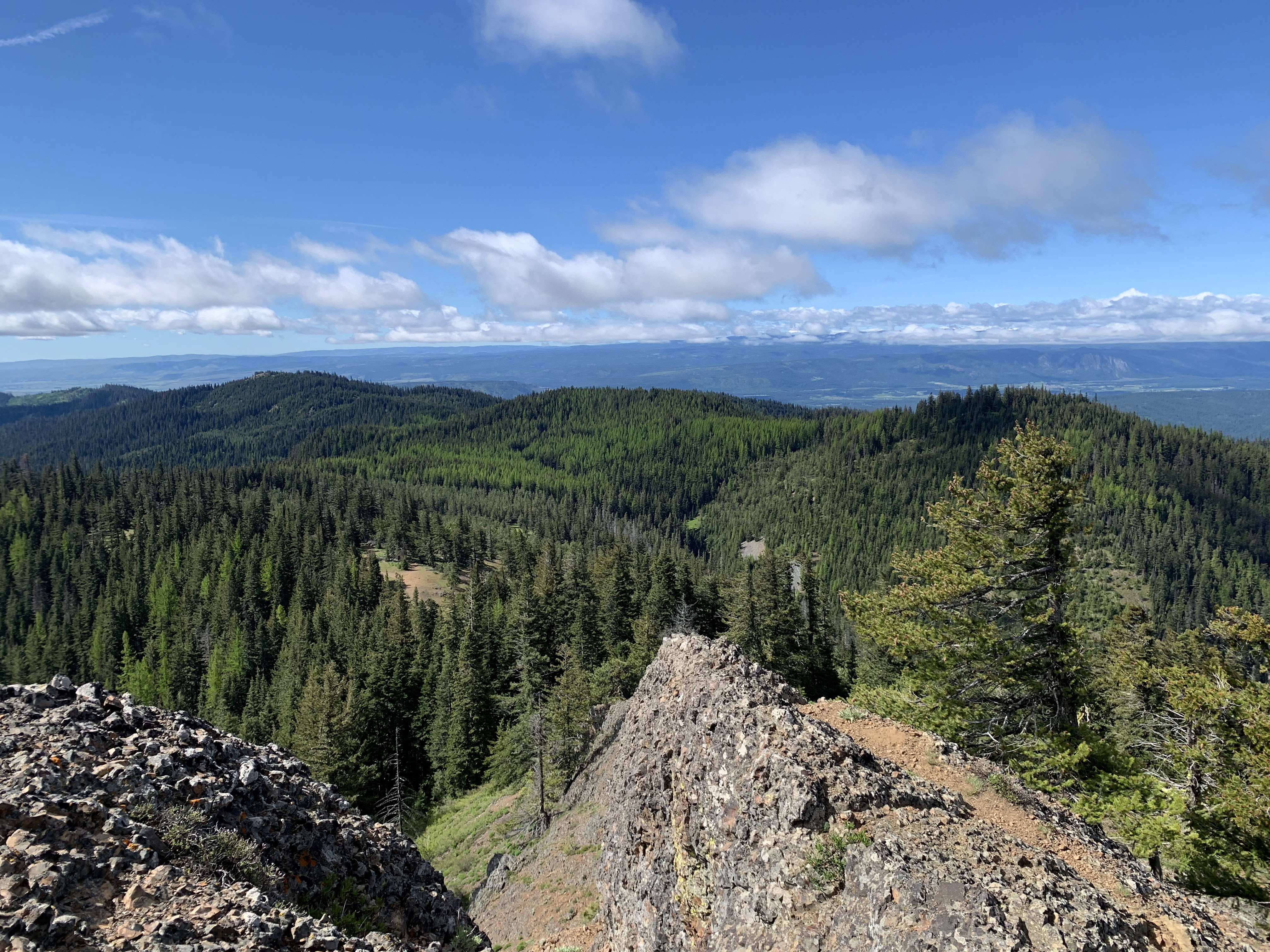 view to the south
 zoom of either a cloudy Mt Adams or Mt Rainier
 zoom of another peak through the clouds
 view to the east
 The lookout as seen from the other side of the loop.


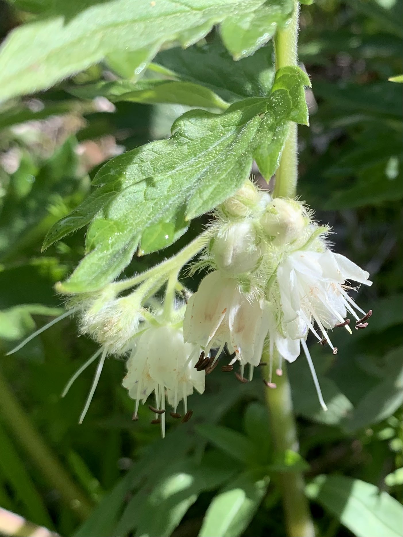
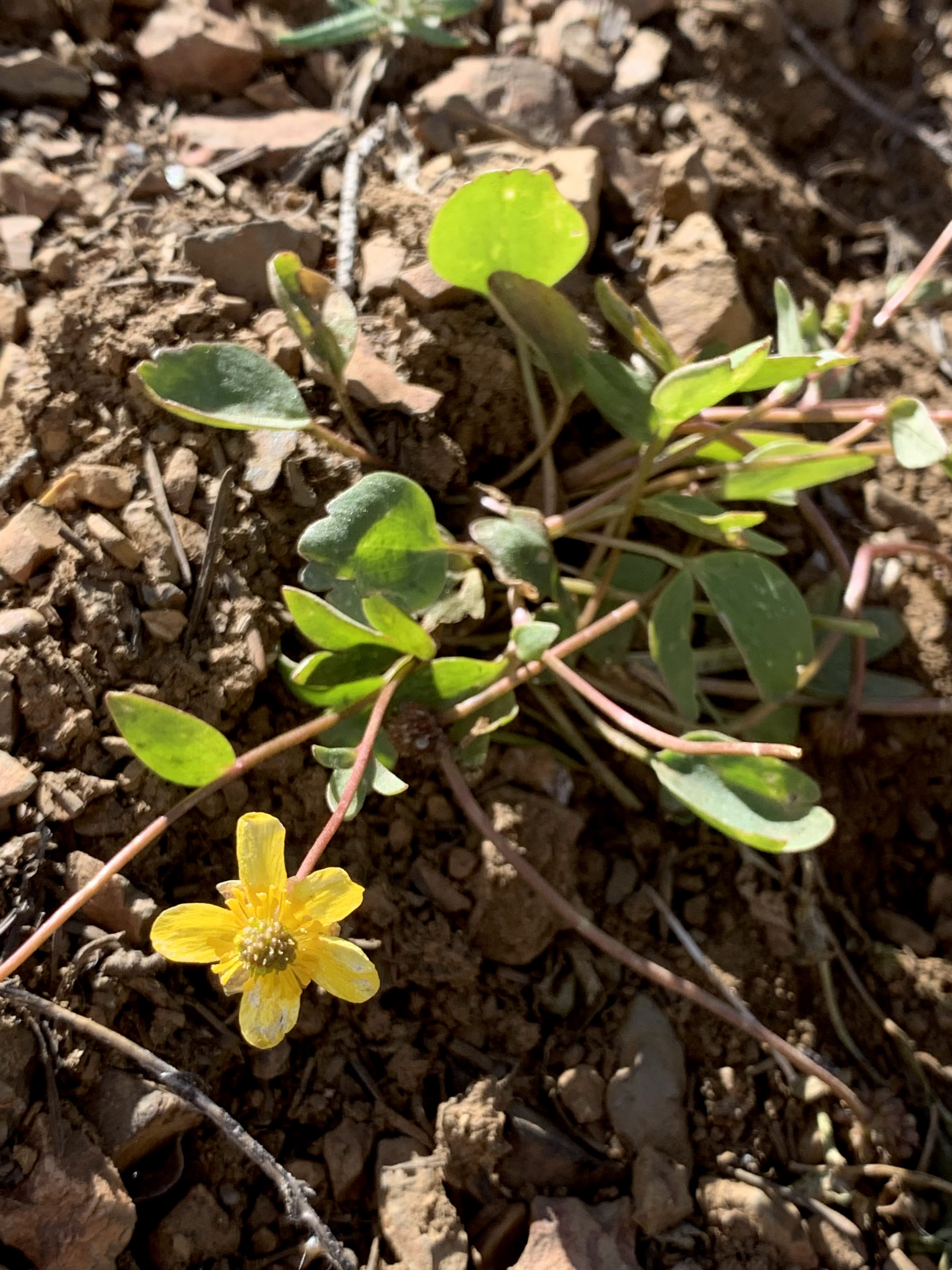
some of the wildflowers seen along the trail today:


No comments:
Post a Comment