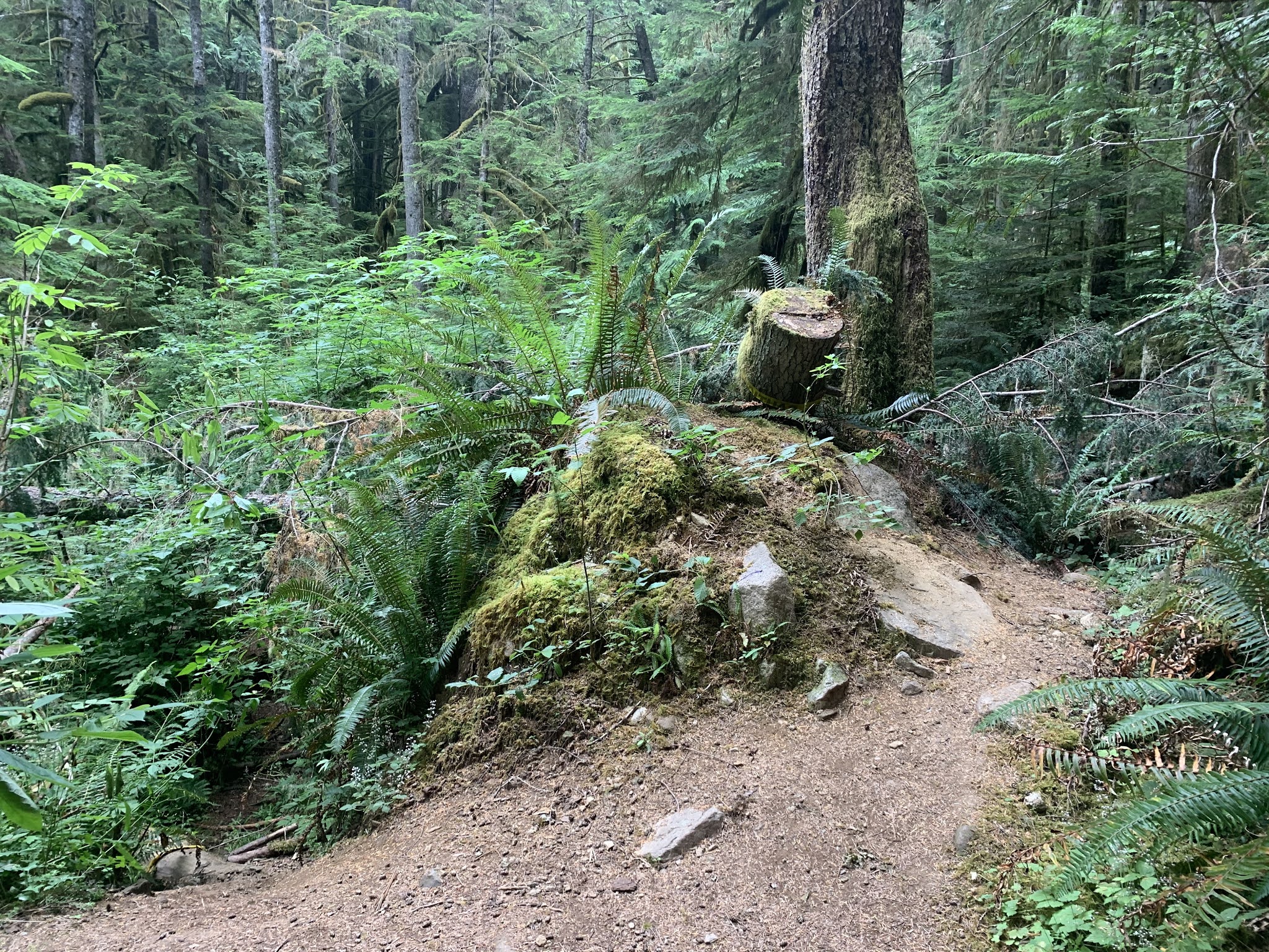
We drove to the Berry Patch Trailhead int he Gifford Pinchot National Forest to hike the loop up to Goat Lake via the Goat Ridge Trail, then the Lily Basin Trail to Goat Lake and Snowgrass Flats and the Snowgrass Trail back to the trailhead. About 13 miles with 2,200 ft of overall gain. This route is the Goat Rocks Wilderness. About the first 3 miles of trail is in the forest, but within 2 miles, we started seeing small patches of wildflowers, including these by a small pond off the trail
 Shortly before the junction with the Jordan Creek Trail 2 miles from the trailhead, we had a peek a boo view of Mt Rainier.
The trail goes through several small meadows filled with wildflowers, here lupine and bistort.
 We walked through lots of lupine along with paintbrush and lousewort.
 Here larkspur were mixed with lupine.
 pasqueflower, arnica, heather and lupine
 We would walk through a variety of wildflowers in the fields in the forest.
 Leaving the forest, we had gorgeous views of Jordan Basin, with many wildflowers growing on these open slopes.
 so beautiful!
 rosy spirea, arnica and paintbrush
 paintbrush, arnica and sitka valerian at the base of these rocky cliffs
 wildflowers growing alongside Jordan Creek
 lots of lupine and pasqueflower growing on the slope of Goat Ridge, in the far distance, clouds on top of Mt St Helens
 We saw several marmots here, but they were too fast for me to get a good photo today.
 Almost to the top of Goat Ridge
The Lily Basin Trail between Goat Ridge and Snowgrass Flats is one of my favorite trail sections, abundant wildflowers and gorgeous views. Here the views are from Old Snowy to Mt Adams and Goat Ridge overlooking Lily Basin.

 paintbrush, heather and pasqueflowers
 dense growth of wildflowers on the slope above us
 wildflowers growing on the slopes below us
 wildflowers on both sides of the trail
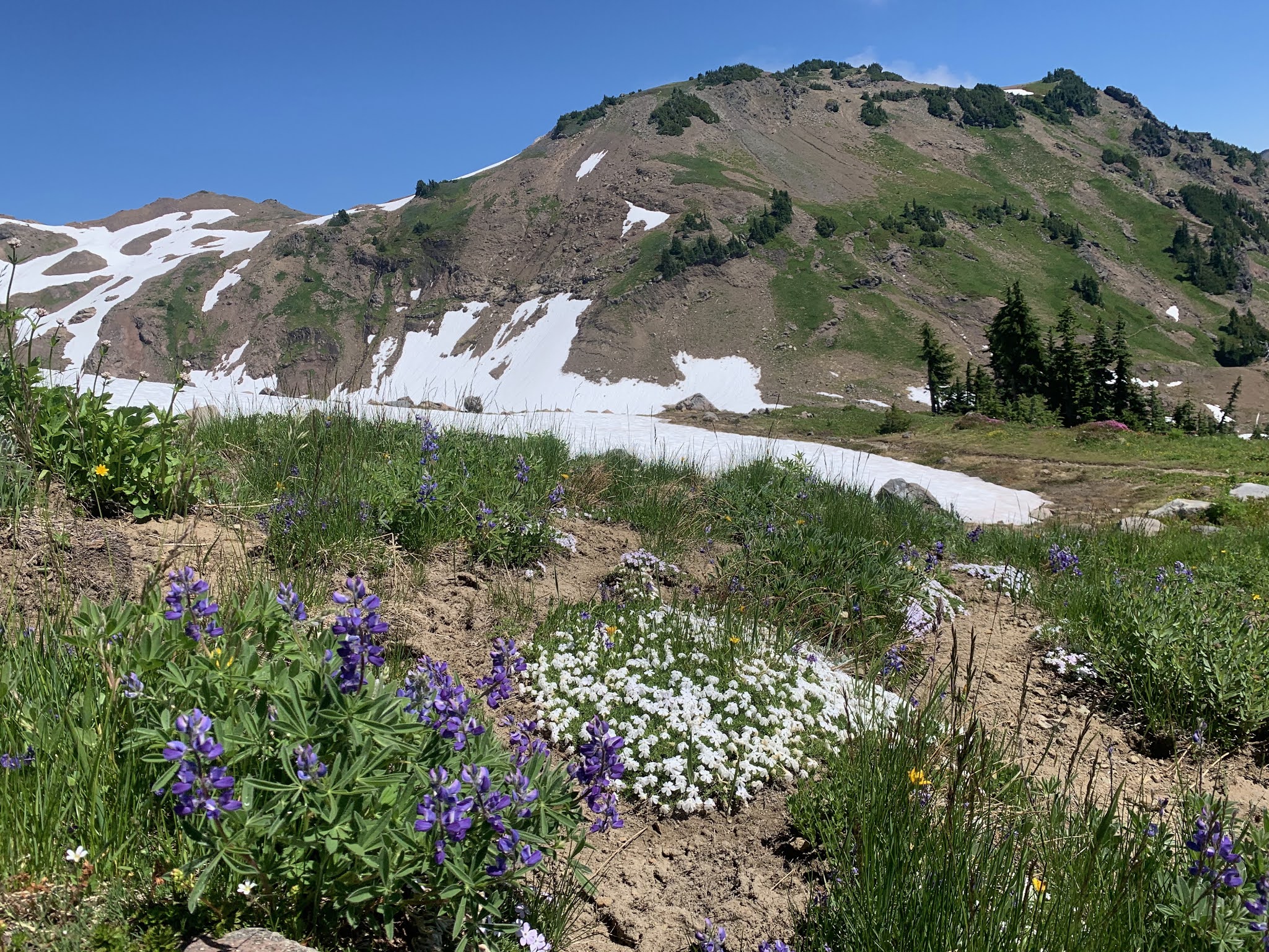 lupine and phlox as we near Goat Lake
 another view of the wildflowers and Mt Adams
 Goat Lake still has lots of snow and ice on it. We saw a couple of mountain goats up on the Ridgeline above the lake.
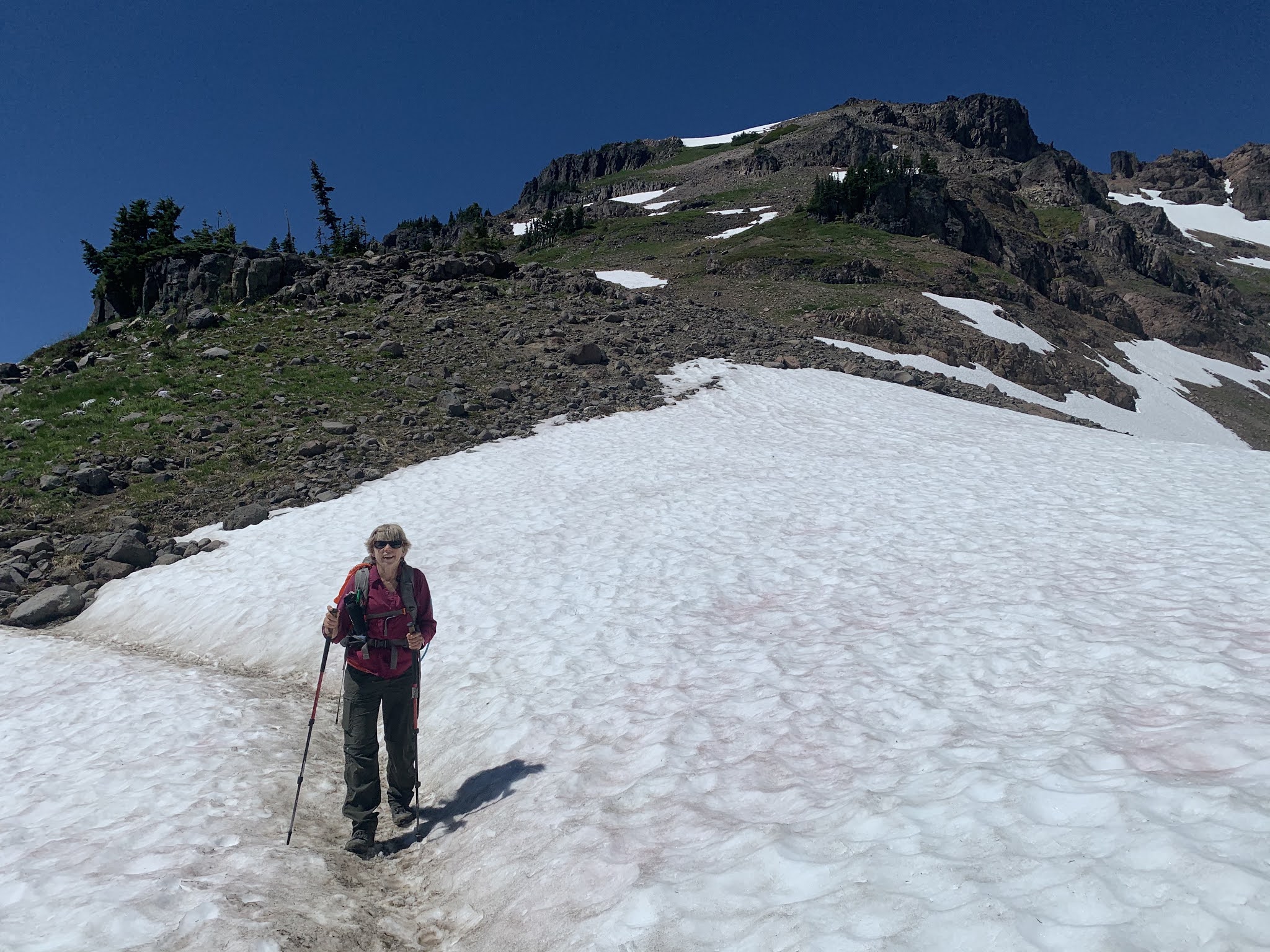 There are some snow patches on the trail near the lake, but they are well packed and we didn't see any snow bridges, except at the outlet of Goat Creek from the lake.
 view of Goat Lake from near the outlet
 continuing on the Lily Basin Trail
 love the vibrant paintbrush
 paintbrush mixed in with lupine, beargrass and heather
 over two miles of open trail between Goat Lake and Snowgrass Flats
 A large field of paintbrush,
followed by a field of beargrass
 We crossed several streams flowing down the hillsides full of wildflowers

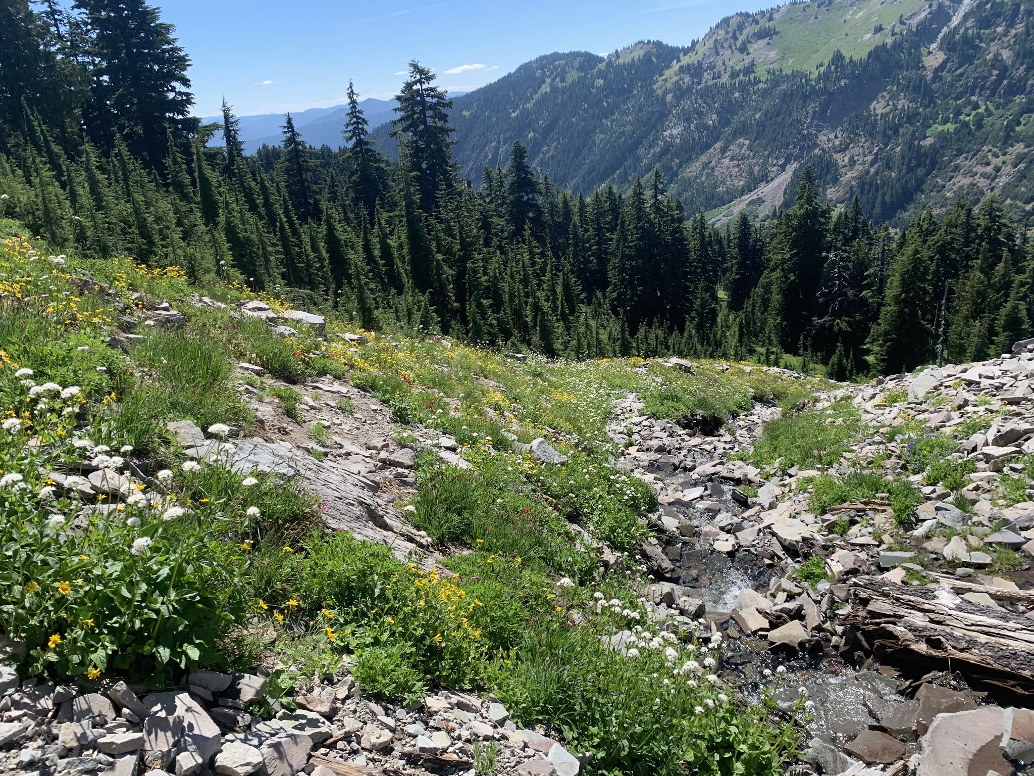 and wildflowers continuing down the hillside
 The heather was so abundant, the meadow was painted pink. Looking back to the basin holding Goat Lake, with a waterfall tumbling below.


 The Snowgrass Trail is mostly 4 miles through a dense forest, it was nice to be in the shade! Here we passed a bog filled with bog orchids. We would see penstamen, lupine, monkshood, wintergreen and other flowers as well.
 Corn lily in bloom as we passed a field of flowers on the equestrian trail connecting to the Berry Patch Trailhead.
some of the wildflowers we saw in bloom along the trail today: