Drove up to the White River Campground to hike up to the Emmons Moraine Trail and up to Glacier Basin Camp, about 7.2 miles round trip from the parking area and about 1,750 ft of total elevation gain.
First, walked down the the White River to see this view of Mt Rainier upstream.

In the parking area where squirrels and
deer.

This trail is mainly in the forest, but there are some views, here a first look at Little Tahoma.

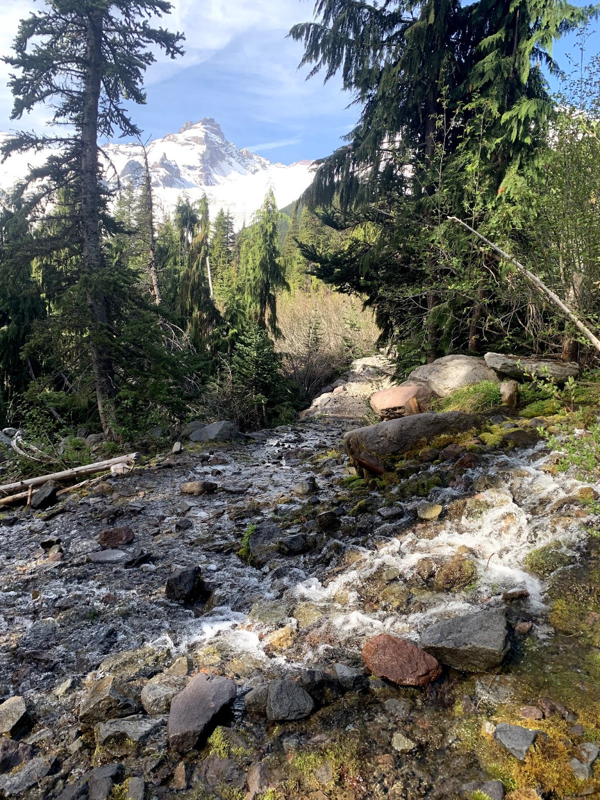
There are lots of full streams from snow melt.
View before the turn off to the Emmons Moraine Trail, about 1 mile up from the trailhead. Near the top of Inter Fork here is the log bridge over Inter Fork.

log bridge over Inter Fork on the Emmons Moraine Trail.
View of Emmons Glacier, with the White River emerging from under the glacier.
a green tarn in the basin
here is the end of the maintained trail
I went about 0.25 mile beyond the sign, and saw this view before returning to the main trail.

lots of water in the Inter Fork
a view of the top of Rainier from the trail a short ways after the trail junction.

Fabulous view of Mt Rainier along the trail, on the way up to Glacier Basin Camp.

basalt cliffs up on the north side of the basin
stream running over the trail with a glimpse of Little Tahoma
About 1-1/2 miles up from the trailhead the snow was over the trail in large patches.
last glimpse of Rainier as the trail goes into the forest until after Glacier Basin Camp
some old abandoned equipment along the trail.
The mountain climbers have left their tracks in the snow.
snow is melting from underneath the top layer
sign pointing up to Glacier Basin Camp, continuing straight on the winter route to Rainier as the snow layer over the Inter Fork is very weak and treacherous.
View just beyond Glacier Basin Camp: Mt Ruth, tippy top of Rainier and St Elmo's Pass
view close to the edge of Inter Fork, I could hear the river roaring underneath the snow.
enjoying the views of Rainier as I return down the trail
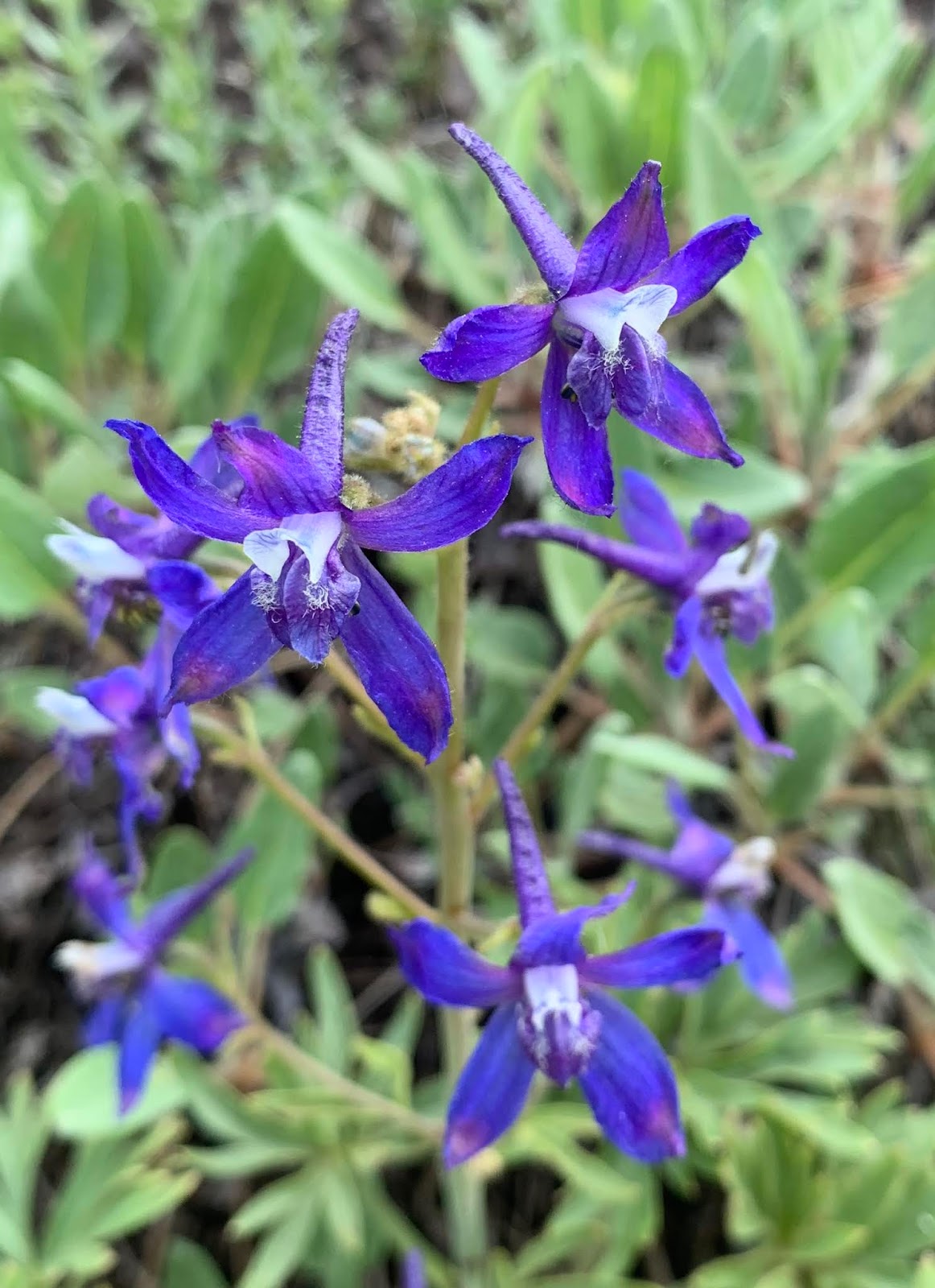
some of the wildflowers seen along the trail today:


 In the parking area where squirrels and


 log bridge over Inter Fork on the Emmons Moraine Trail.


 lots of water in the Inter Fork
 Fabulous view of Mt Rainier along the trail, on the way up to Glacier Basin Camp.